Buffalo National River
National River · Arkansas
NPS Photo

River
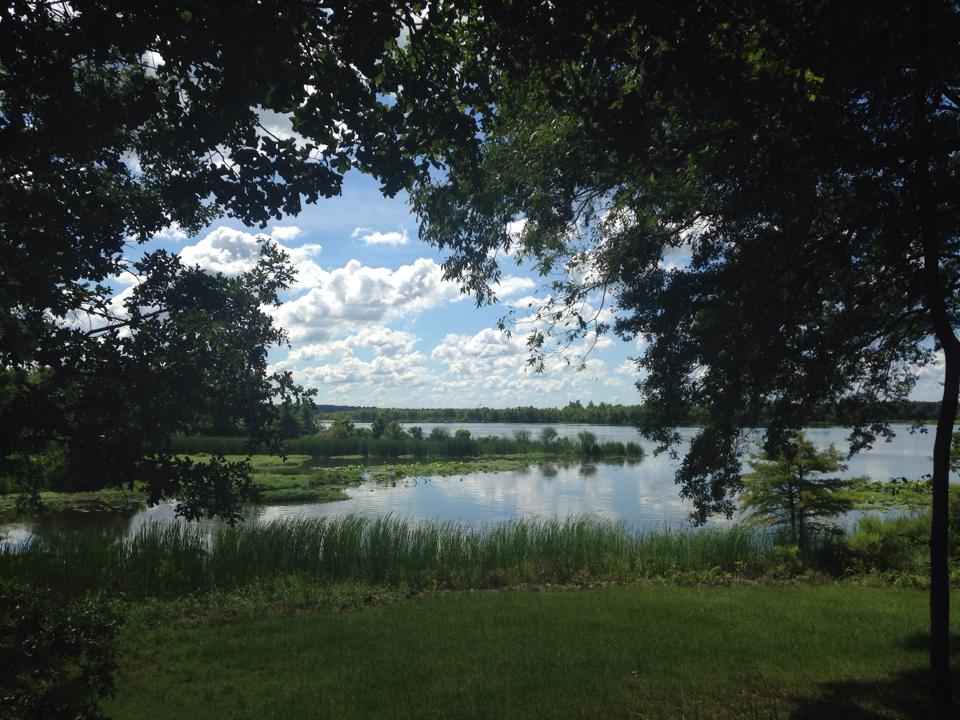
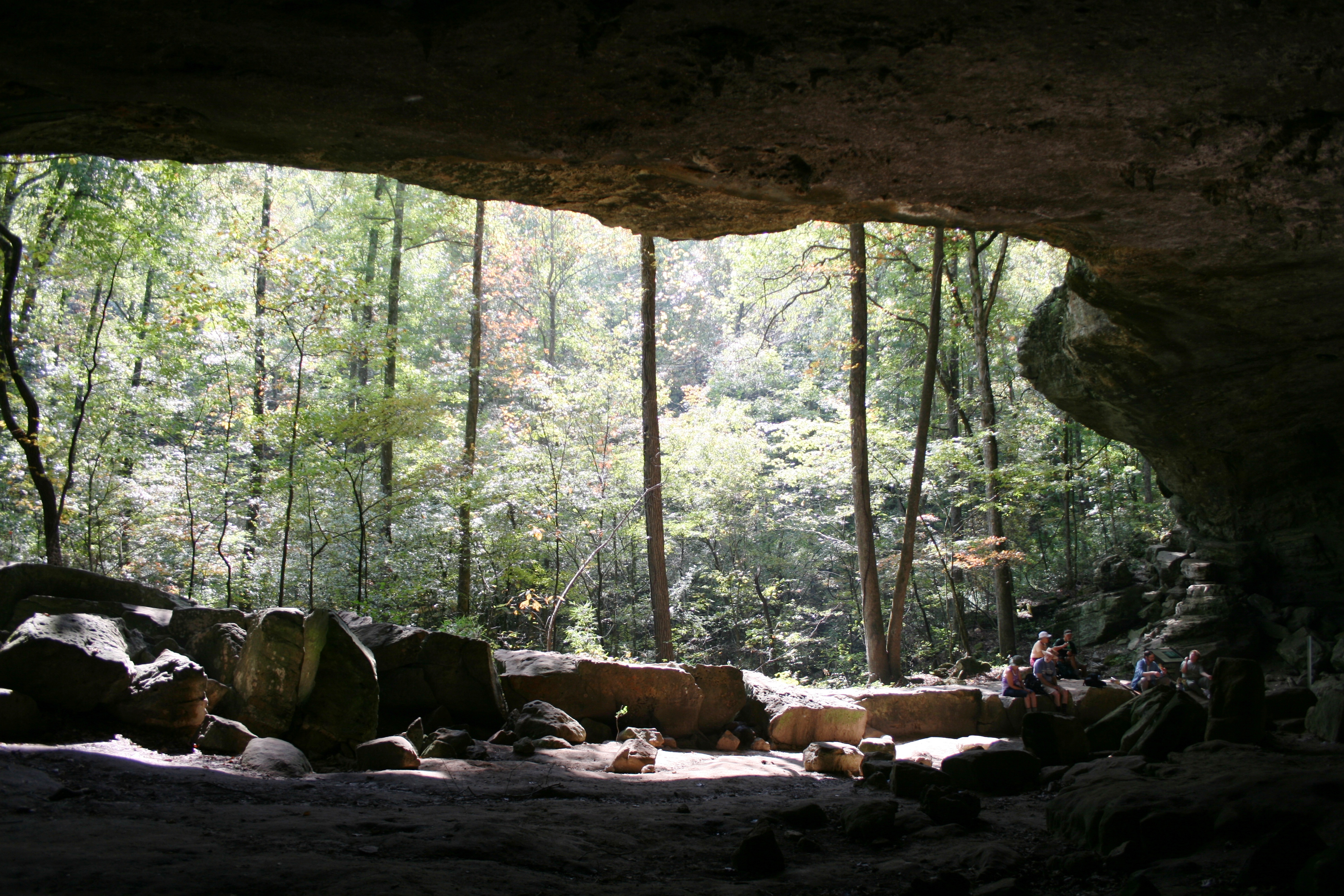
The Buffalo National River, in Northern Arkansas, was the first National River to be designated in the United States. The Buffalo River is 153 miles (246 km) long. The lower 135 miles (217 km) flow within the boundaries of an area managed by the National Park Service, where the stream is designated the Buffalo National River. The river flows through Newton, Searcy, Marion, and Baxter Counties, from west to east. The river originates in the highest part of the Boston Mountains of the Ozarks, flows out onto the Springfield Plateau near the historic community of Erbie, and finally crosses a portion of the Salem Plateau just before joining the White River. The Park is home to the state's only elk herd. The upper section of the river in the Ozark National Forest is managed by the U.S. Forest Service and is designated as a National Scenic River and a National Wild River.
About Buffalo National River
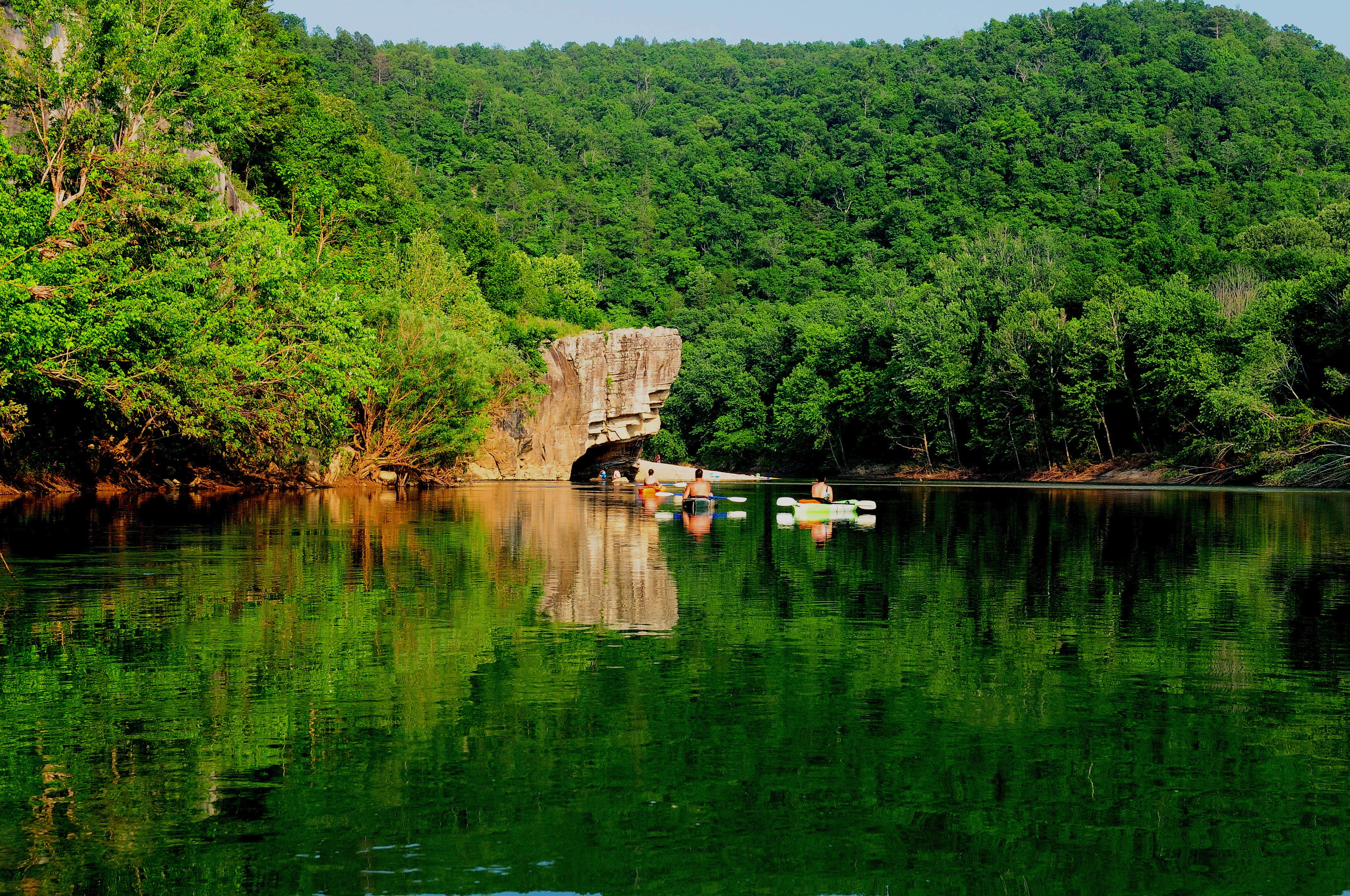
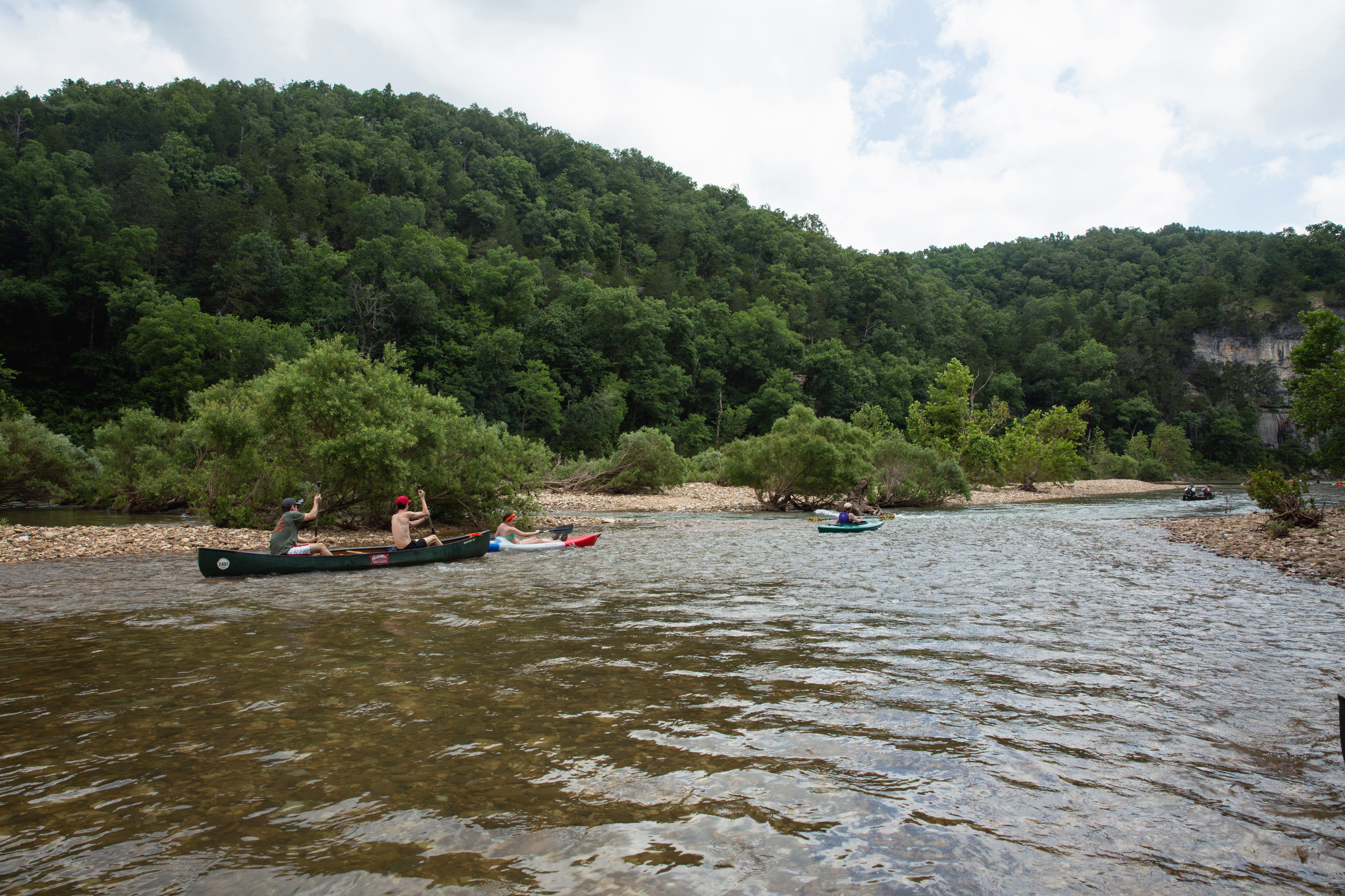
Established in 1972, Buffalo National River flows freely for 135 miles and is one of the few remaining undammed rivers in the lower 48 states. Once you arrive, prepare to journey from running rapids to quiet pools while surrounded by massive bluffs as you cruise through the Ozark Mountains down to the White River.
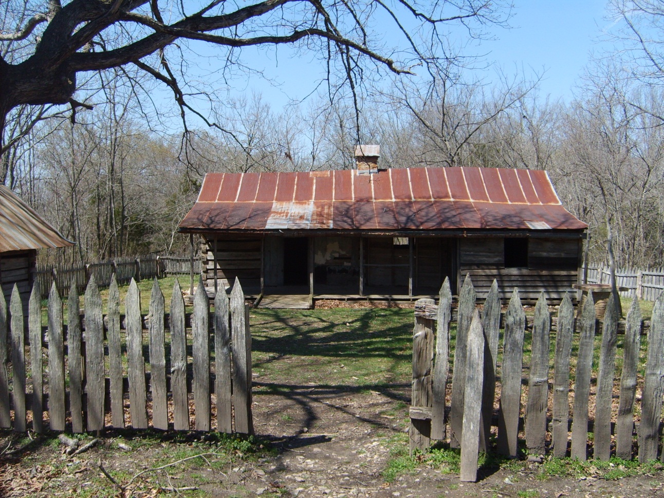
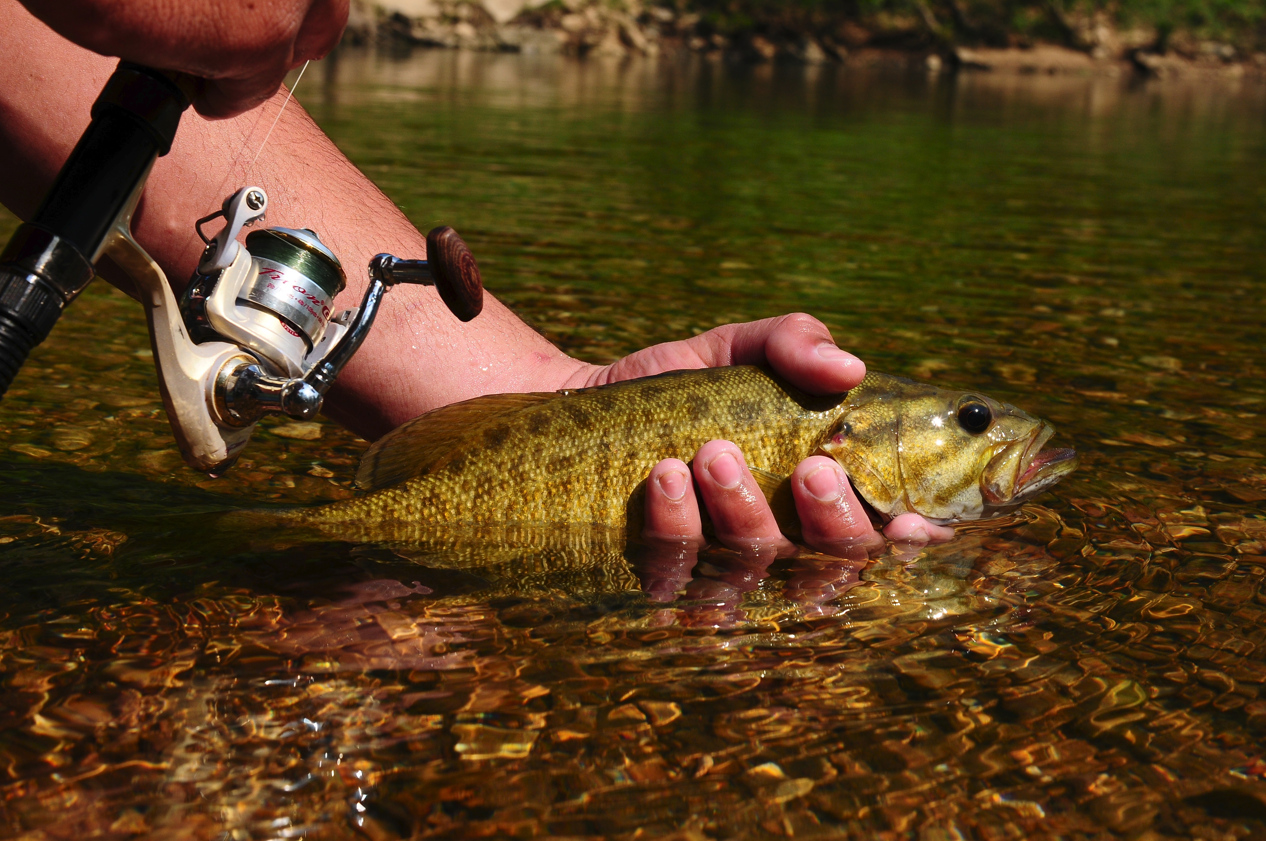
Park Photos
Activities
Operating Hours
Buffalo National River
Buffalo National River is 135 miles long. The park is open 24 hours.
| mon | tue | wed | thu | fri | sat | sun |
|---|---|---|---|---|---|---|
| All Day | All Day | All Day | All Day | All Day | All Day | All Day |
Frequently Asked Questions
How much does it cost to enter Buffalo National River?
Buffalo National River is free to enter.
What are the best activities at Buffalo National River?
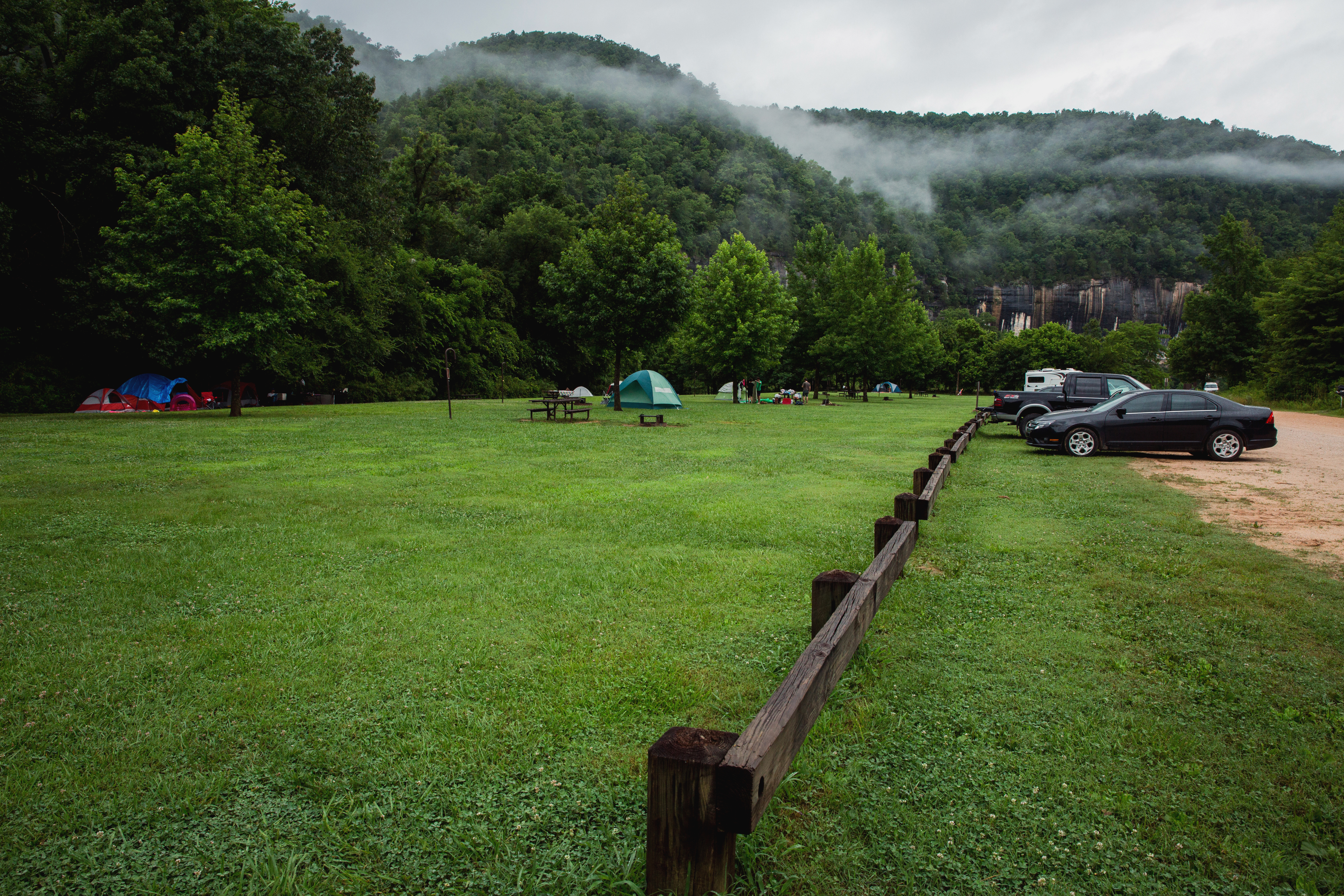
Popular activities at Buffalo National River include: Camping, Backcountry Camping, Caving, Fishing, Freshwater Fishing, Food, Dining, Picnicking.
What is the weather like at Buffalo National River?
Summer in the Ozarks can be very hot and humid. Please check the weather forecast prior to your arrival and plan accordingly. The weather the rest of the year has the potential to be wet and cool or dry and warm. Please pay special attention to river levels and the rain forecast when planning a trip on the river. River levels can rise dramatically in a short period of time so please be aware of conditions.
How do I get to Buffalo National River?
Buffalo National River is a long, narrow park that is crossed by three main highways. Highways 7, 43, and 62/65 are the main roads out of Harrison, Arkansas that will take you to the Buffalo River, depending on which part of the park you wish to visit. GPS systems are not reliable in this area so please call ahead for directions or pick up a map of the area beforehand.
Entrance Fees
Free Admission
Weather
Summer in the Ozarks can be very hot and humid. Please check the weather forecast prior to your arrival and plan accordingly. The weather the rest of the year has the potential to be wet and cool or dry and warm. Please pay special attention to river levels and the rain forecast when planning a trip on the river. River levels can rise dramatically in a short period of time so please be aware of conditions.
Directions
Buffalo National River is a long, narrow park that is crossed by three main highways. Highways 7, 43, and 62/65 are the main roads out of Harrison, Arkansas that will take you to the Buffalo River, depending on which part of the park you wish to visit. GPS systems are not reliable in this area so please call ahead for directions or pick up a map of the area beforehand.
📍 View on Google Maps →Location
Official Resources
NPS Official WebsiteMore Parks in Arkansas
Other national park sites you might enjoy