California National Historic Trail
National Historic Trail · California, Colorado, Idaho, Kansas, Missouri, Nebraska, Nevada, Oregon, Utah, Wyoming
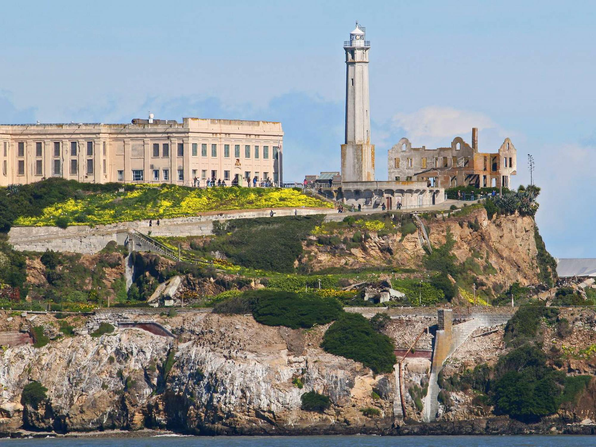
NPS Photo

Historic migration route in the western United States
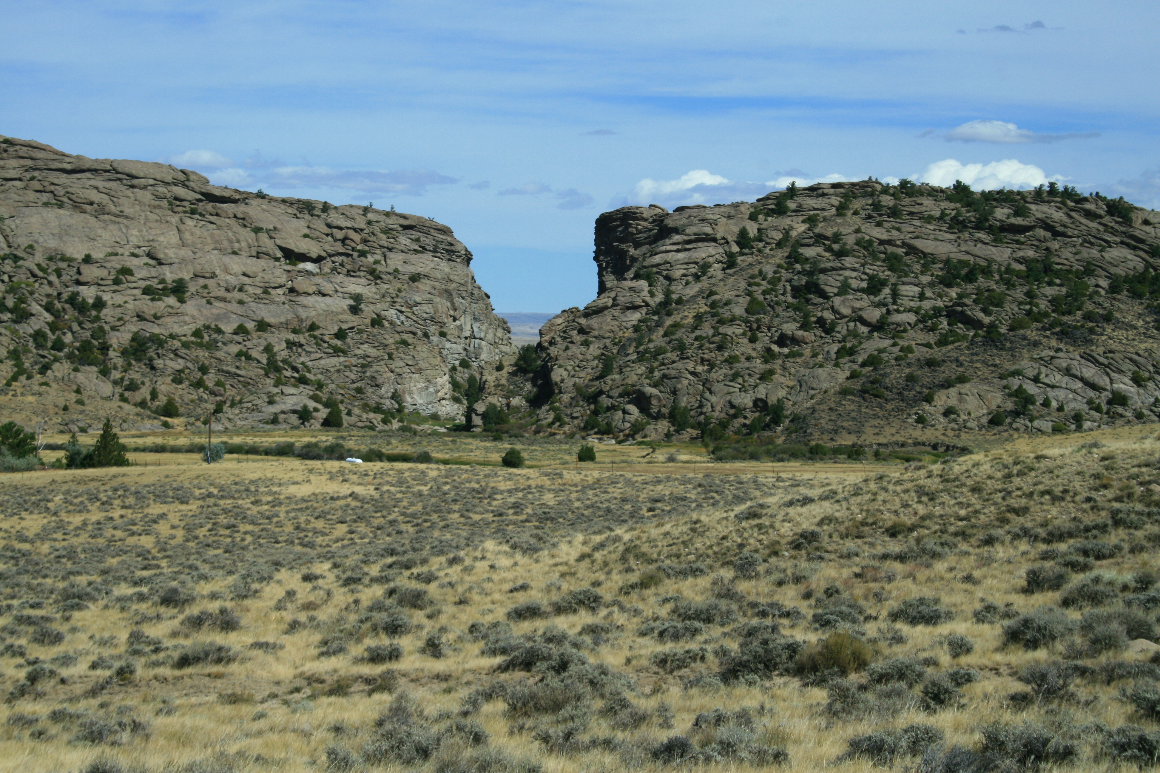
The California Trail was an emigrant trail of about 1,600 mi (2,600 km) across the western half of the North American continent from Missouri River towns to what is now the state of California. After it was established, the first half of the California Trail followed the same corridor of networked river valley trails as the Oregon Trail and the Mormon Trail, namely the valleys of the Platte, North Platte, and Sweetwater rivers to Wyoming. The trail has several splits and cutoffs for alternative routes around major landforms and to different destinations, with a combined length of over 5,000 mi (8,000 km).
About California National Historic Trail
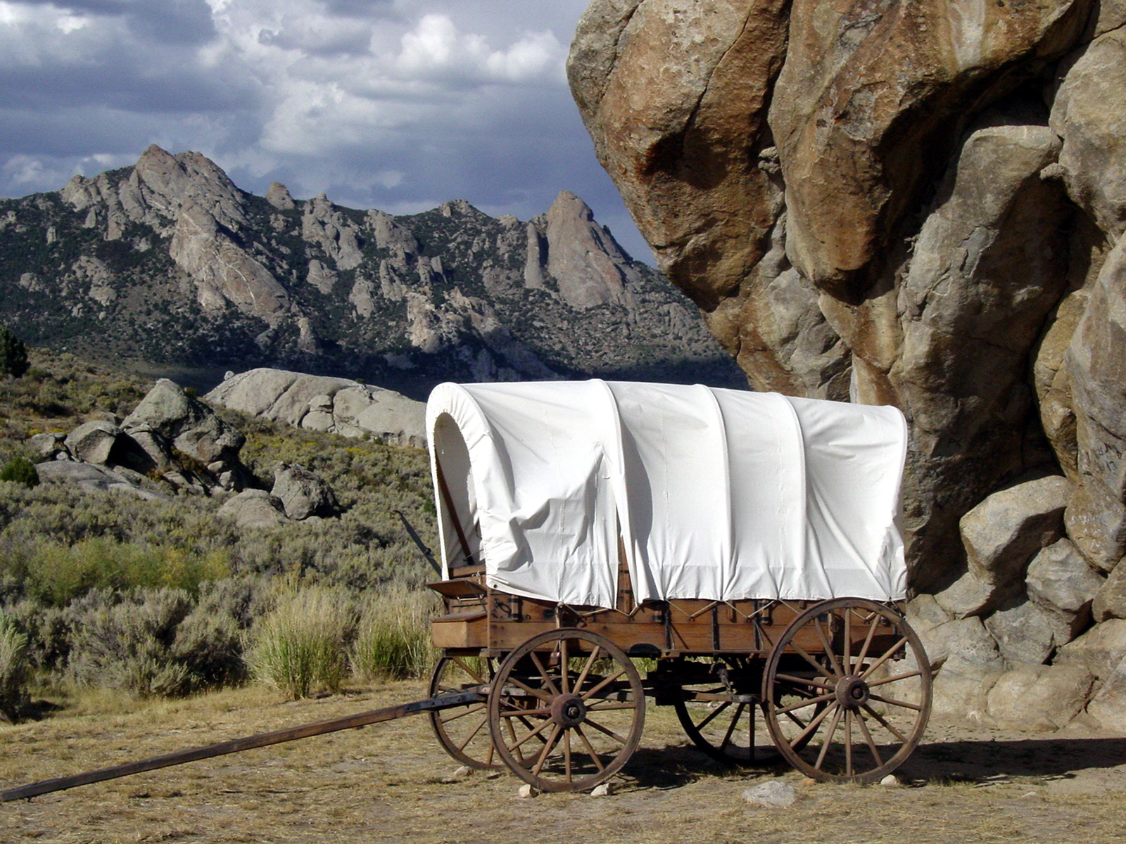
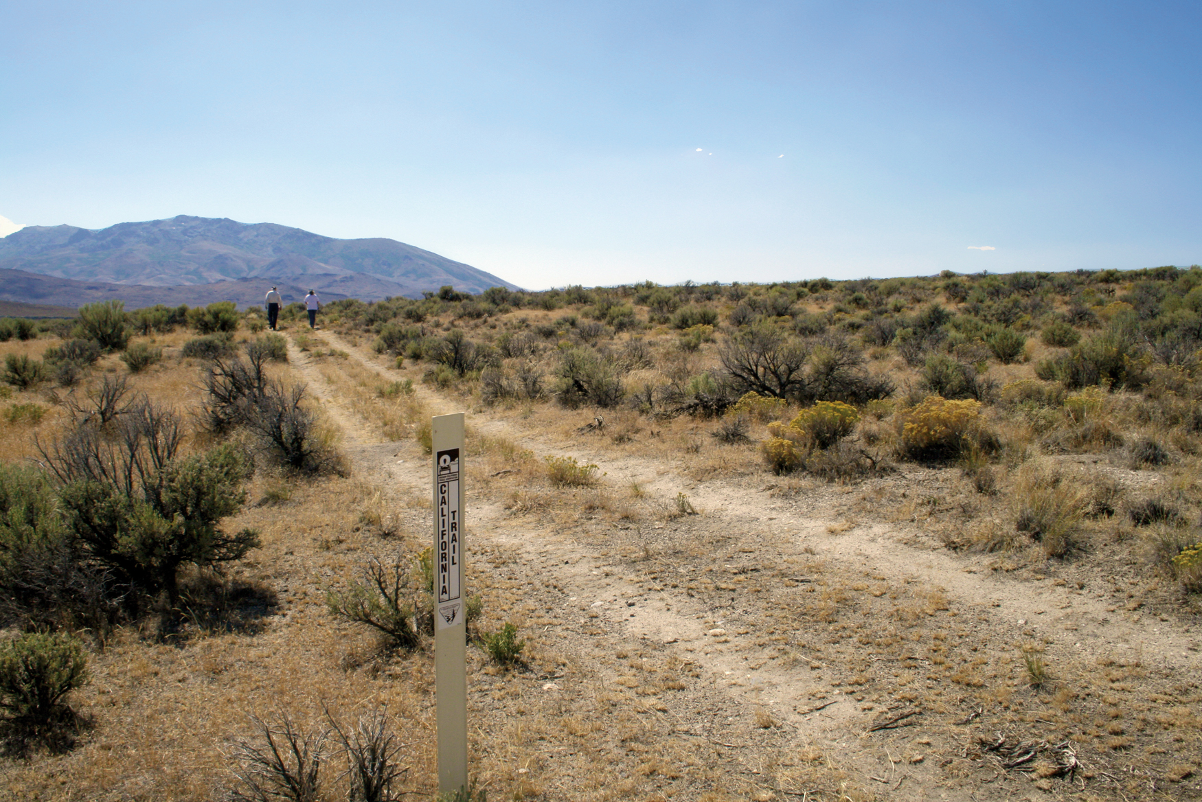
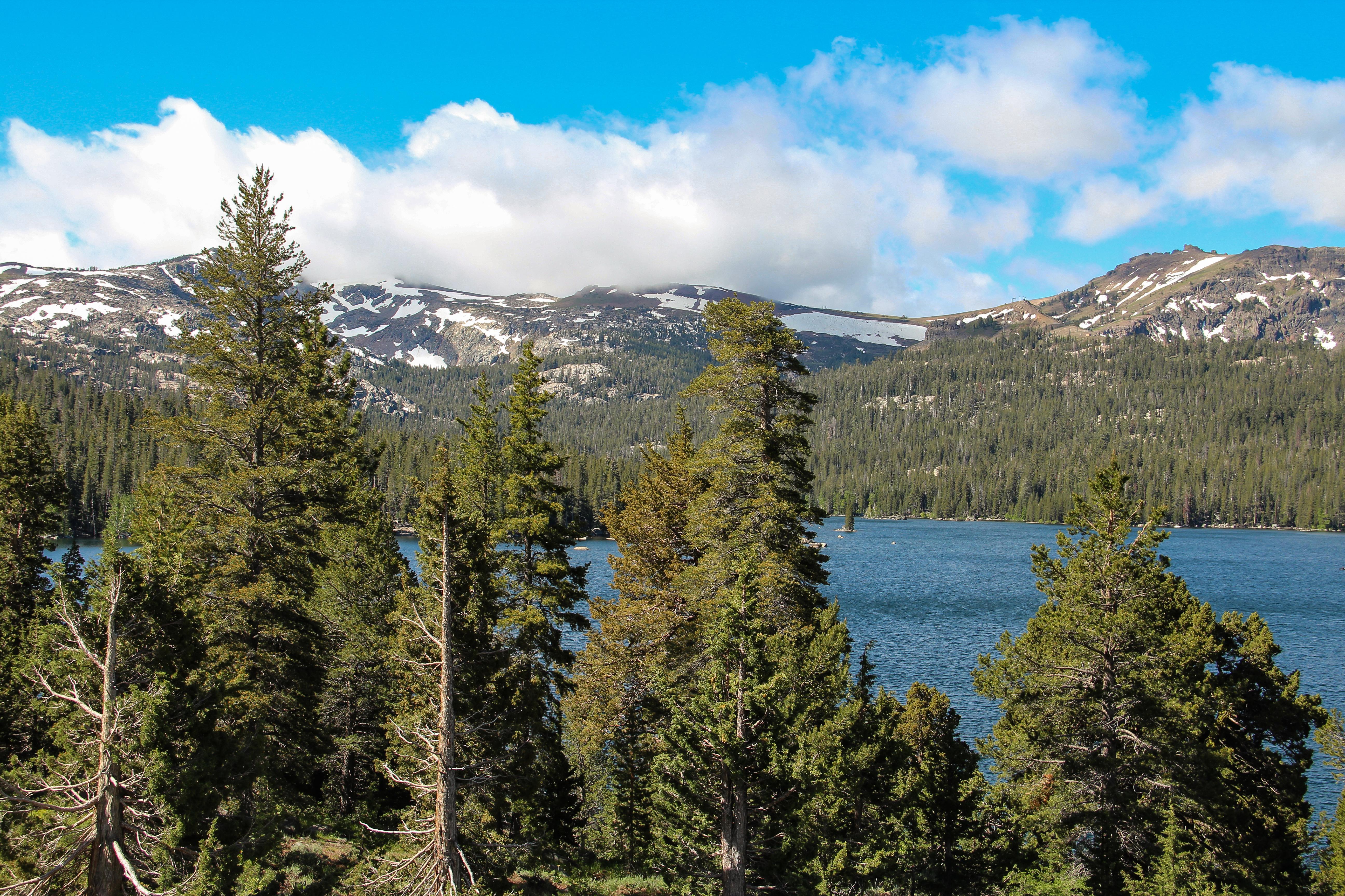
Follow in the footsteps of over 250,000 emigrants who traveled to the gold fields and rich farmlands of California during the 1840s and 1850s: the greatest mass migration in American history. The California National Historic Trail is over 5,000 miles long and covers portions of 10 states. Step into history along more than 1,000 miles of ruts and traces from travelers and their overland wagons.
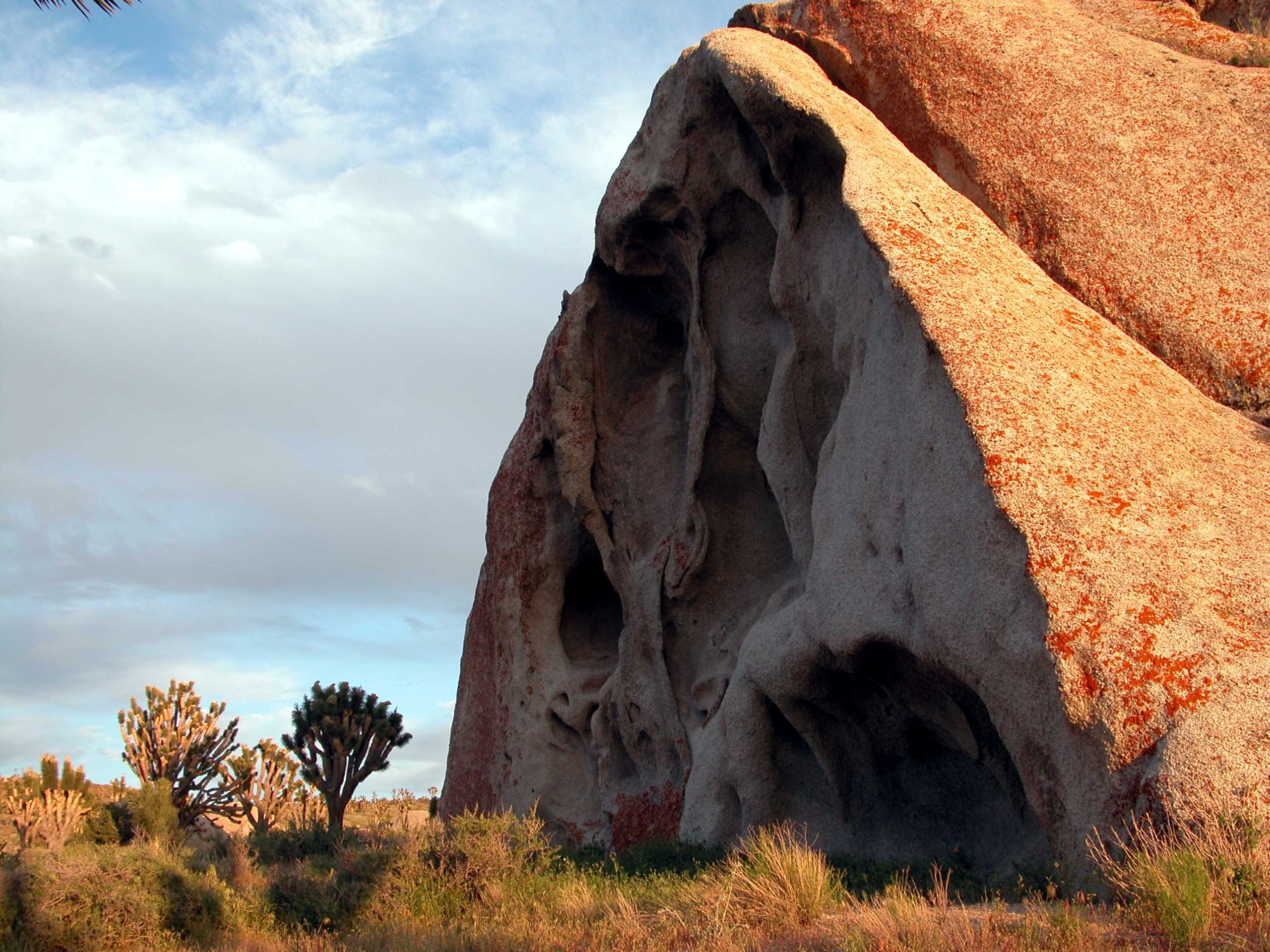
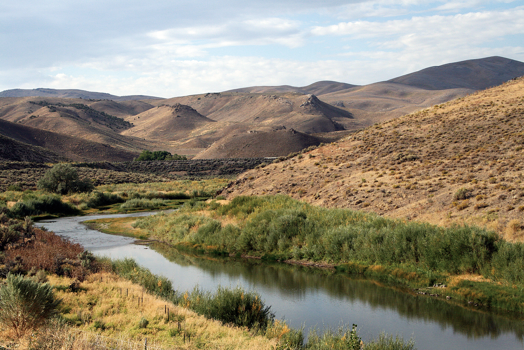
Park Photos
Activities
Operating Hours
California National Historic Trail
The California National Historic Trail is not a clearly marked hiking trail. Instead it is a corridor that passes through communities, urban areas, public lands, and Wilderness. The route travels across a variety of land ownerships and management, including private land. Each location varies as to the hours of operation and access. Please contact individual trail sites before your visit for more information.
| mon | tue | wed | thu | fri | sat | sun |
|---|---|---|---|---|---|---|
| All Day | All Day | All Day | All Day | All Day | All Day | All Day |
Frequently Asked Questions
How much does it cost to enter California National Historic Trail?
California National Historic Trail is free to enter.
What are the best activities at California National Historic Trail?
Popular activities at California National Historic Trail include: Auto and ATV, Scenic Driving, Guided Tours, Self-Guided Tours - Auto, Hiking, Horse Trekking, Horseback Riding, Junior Ranger Program.
What is the weather like at California National Historic Trail?
Due to the length of the California National Historic Trail, be sure to consult local weather sources for the region you'll be visiting. Check out the forecast with the National Weather Service and search for the area you'd like to visit: weather.gov
How do I get to California National Historic Trail?
Those portions of the California National Historic Trail authorized by Congress include nearly 2,000 miles of historic trail that was once the primary "road" taken by farmers, enterprising business managers, gold-seekers, and fortune hunters who chose to make a new life on the California frontier. The route passes through ten states from Missouri to California.
Entrance Fees
Free Admission
Weather
Due to the length of the California National Historic Trail, be sure to consult local weather sources for the region you'll be visiting. Check out the forecast with the National Weather Service and search for the area you'd like to visit: weather.gov
Directions
Those portions of the California National Historic Trail authorized by Congress include nearly 2,000 miles of historic trail that was once the primary "road" taken by farmers, enterprising business managers, gold-seekers, and fortune hunters who chose to make a new life on the California frontier. The route passes through ten states from Missouri to California.
📍 View on Google Maps →Location
Official Resources
NPS Official WebsiteMore Parks in California
Other national park sites you might enjoy