Chickasaw National Recreation Area
National Recreation Area · Oklahoma
NPS Photo

Protected area in Oklahoma, United States
Chickasaw National Recreation Area is a national recreation area in the foothills of the Arbuckle Mountains in south-central Oklahoma near Sulphur in Murray County. It includes the former Platt National Park and Arbuckle Recreation Area.
About Chickasaw National Recreation Area
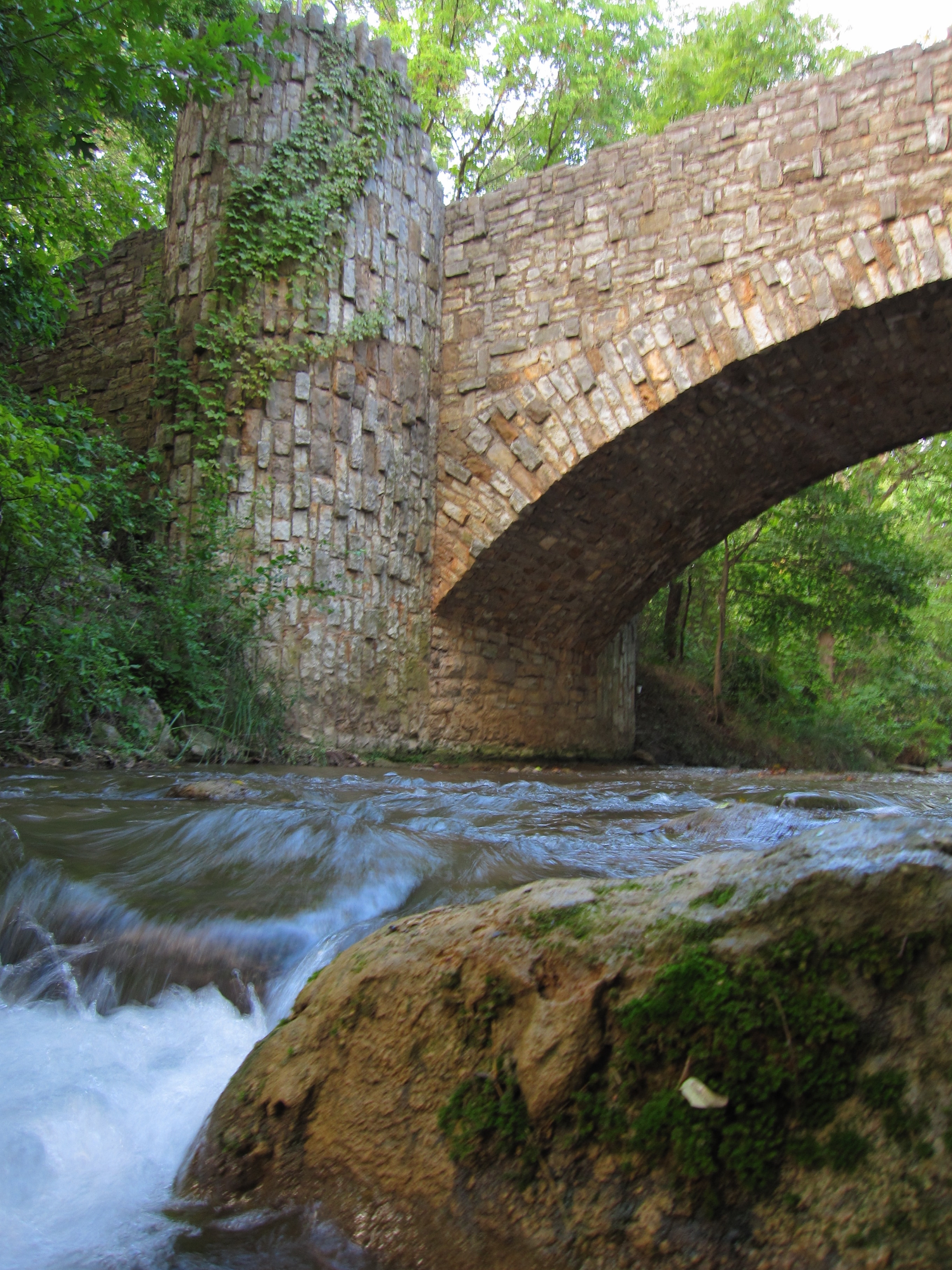
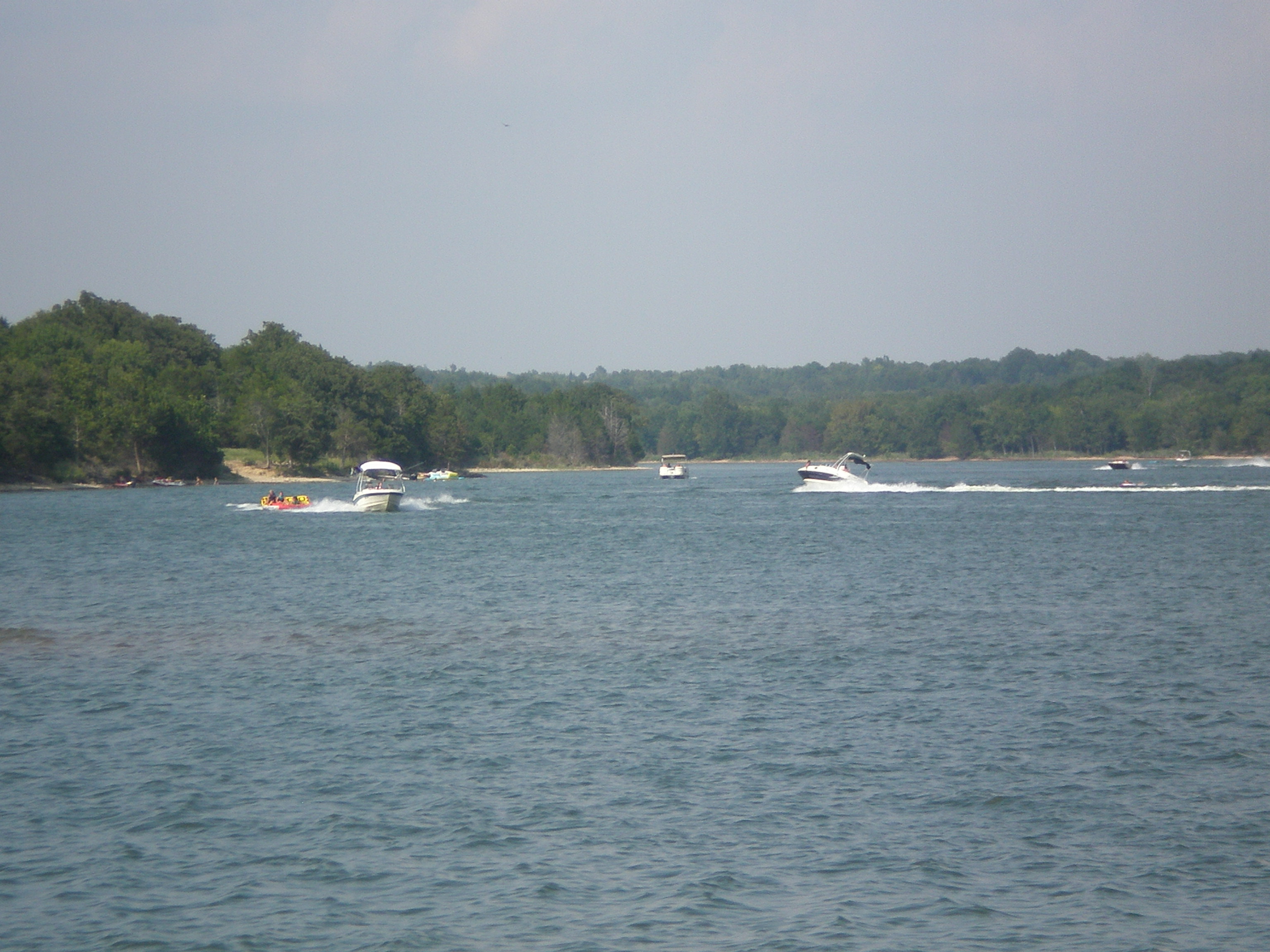
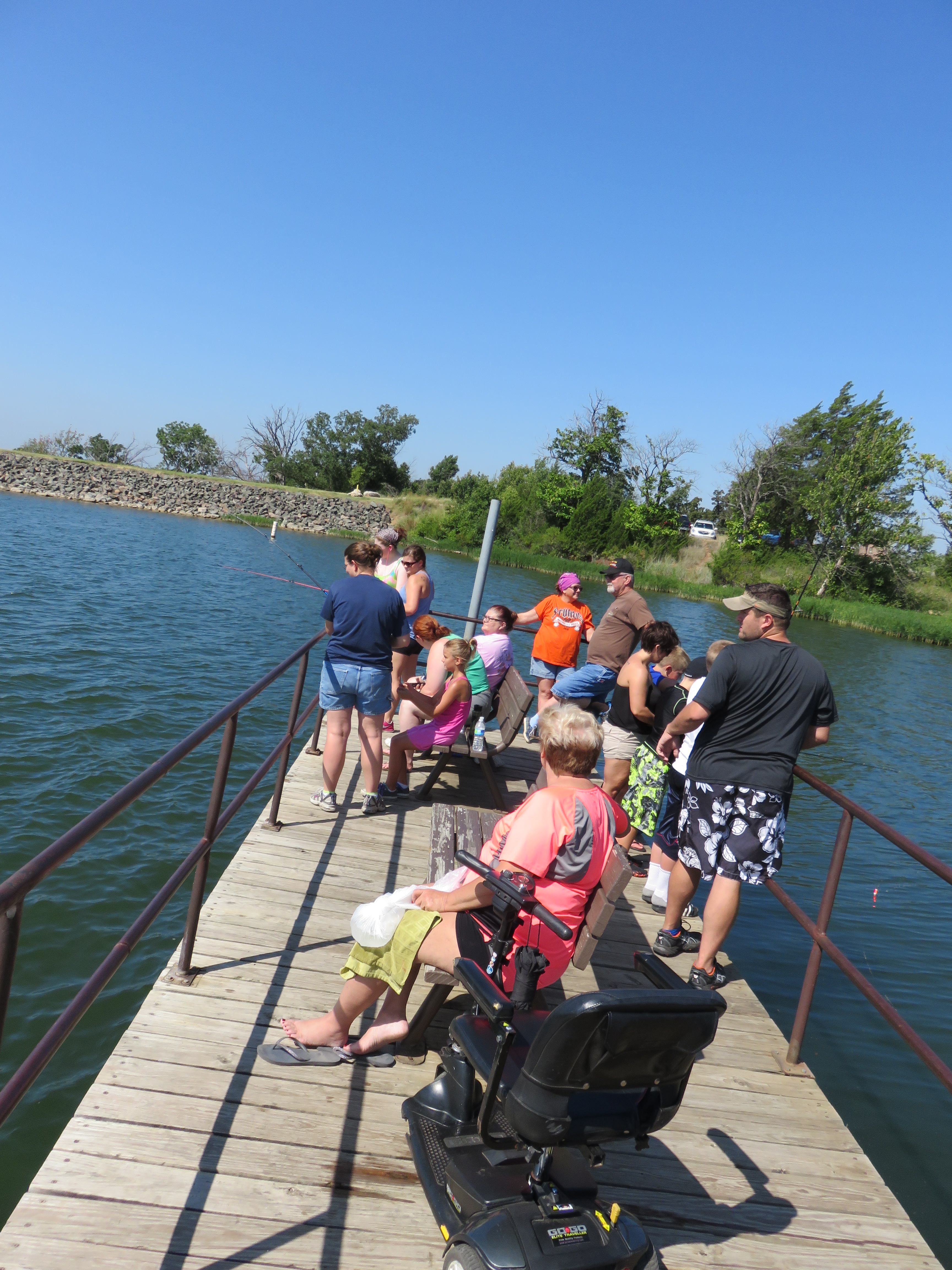
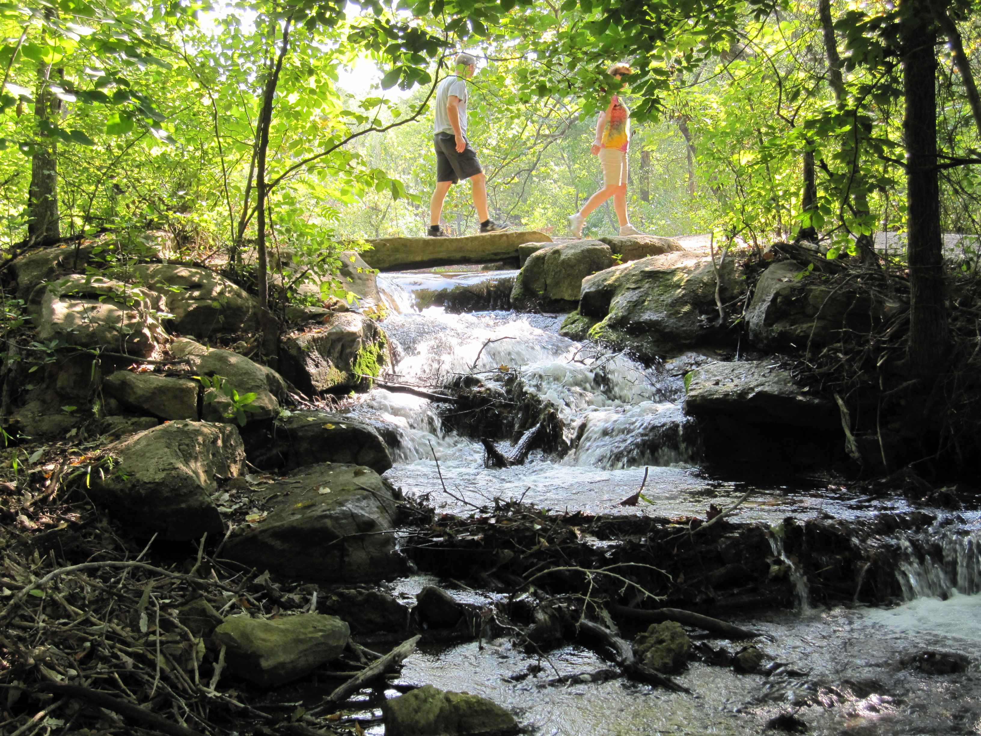
Springs, streams, lakes - whatever its form, water is the attraction at Chickasaw National Recreation Area.
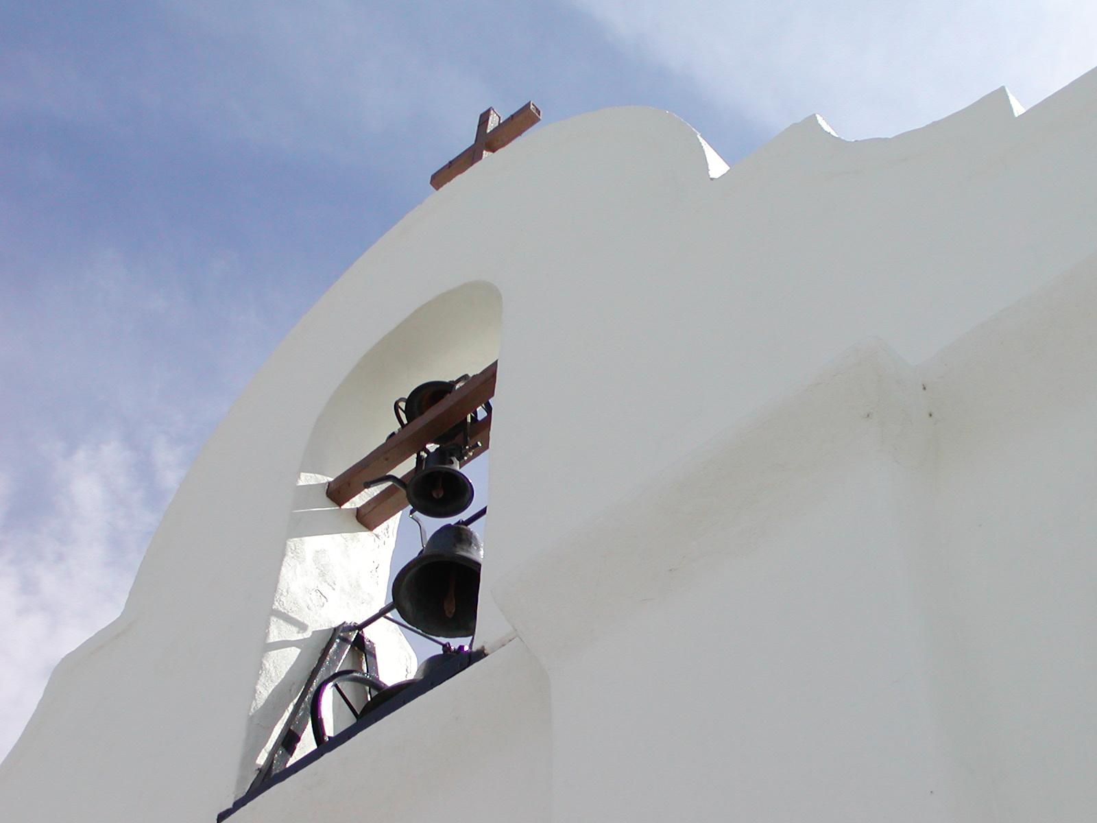
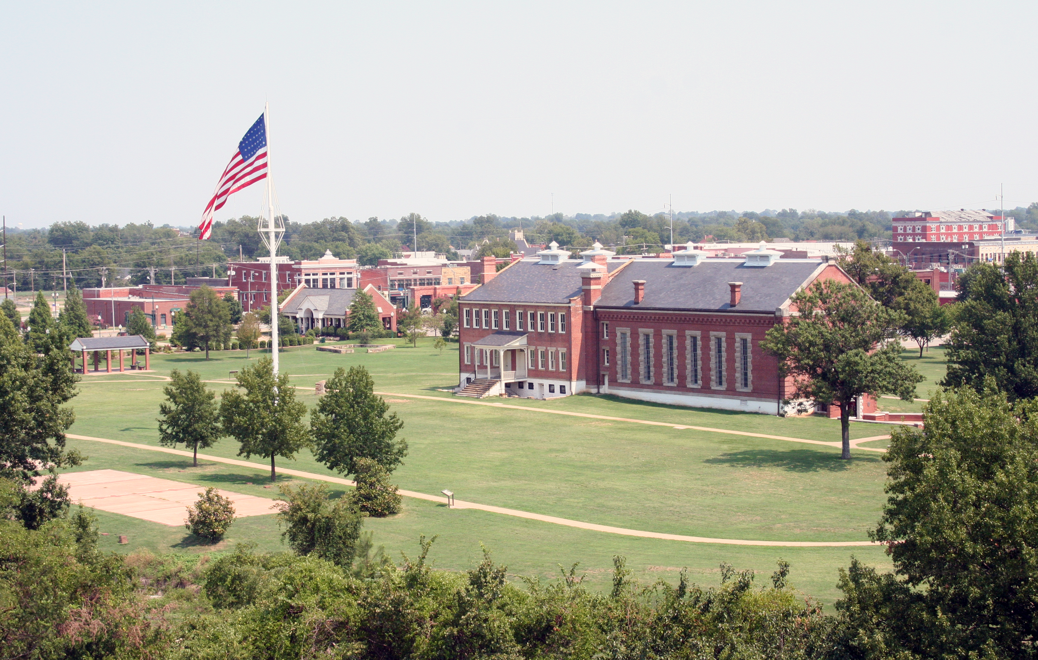
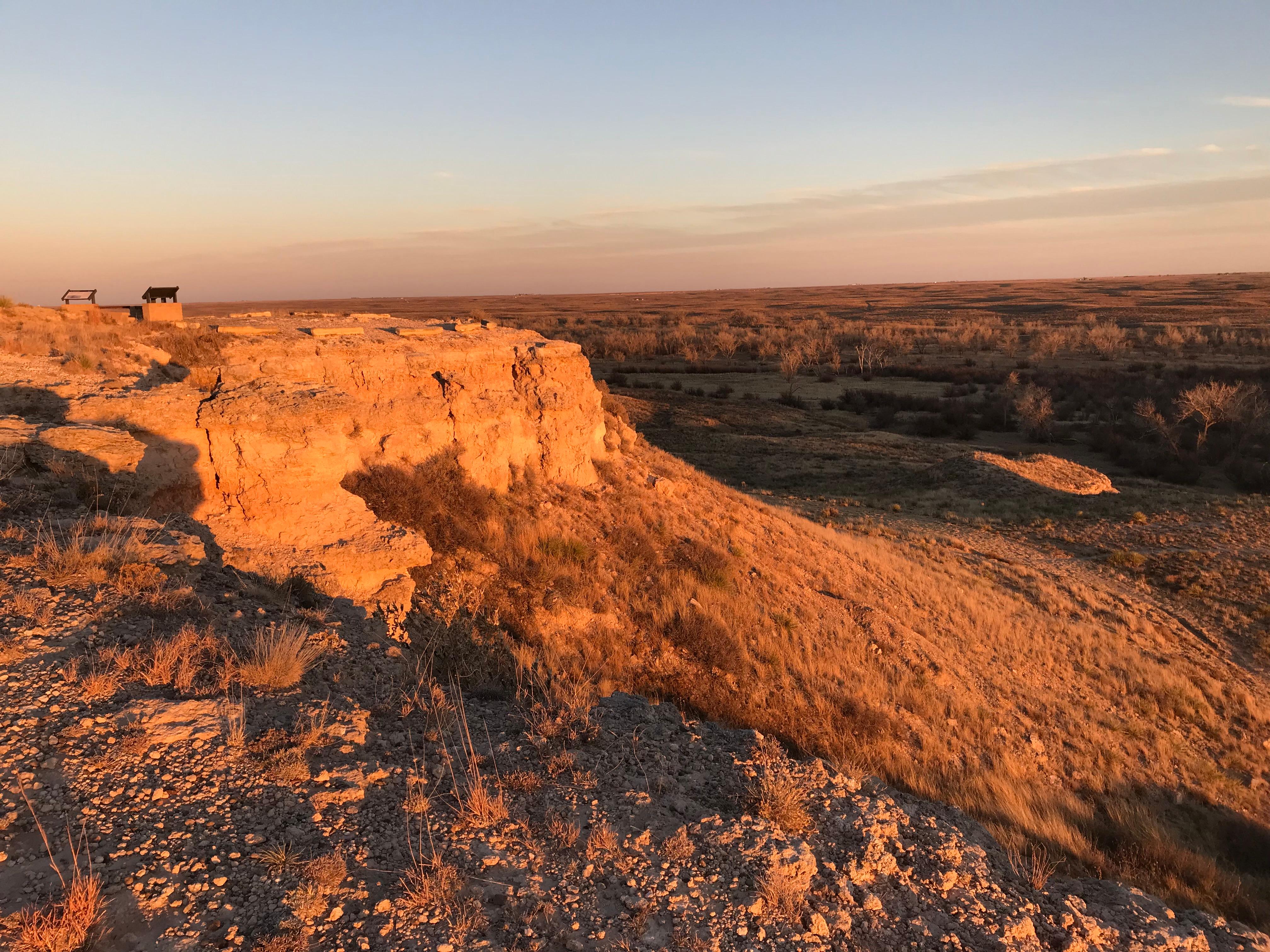
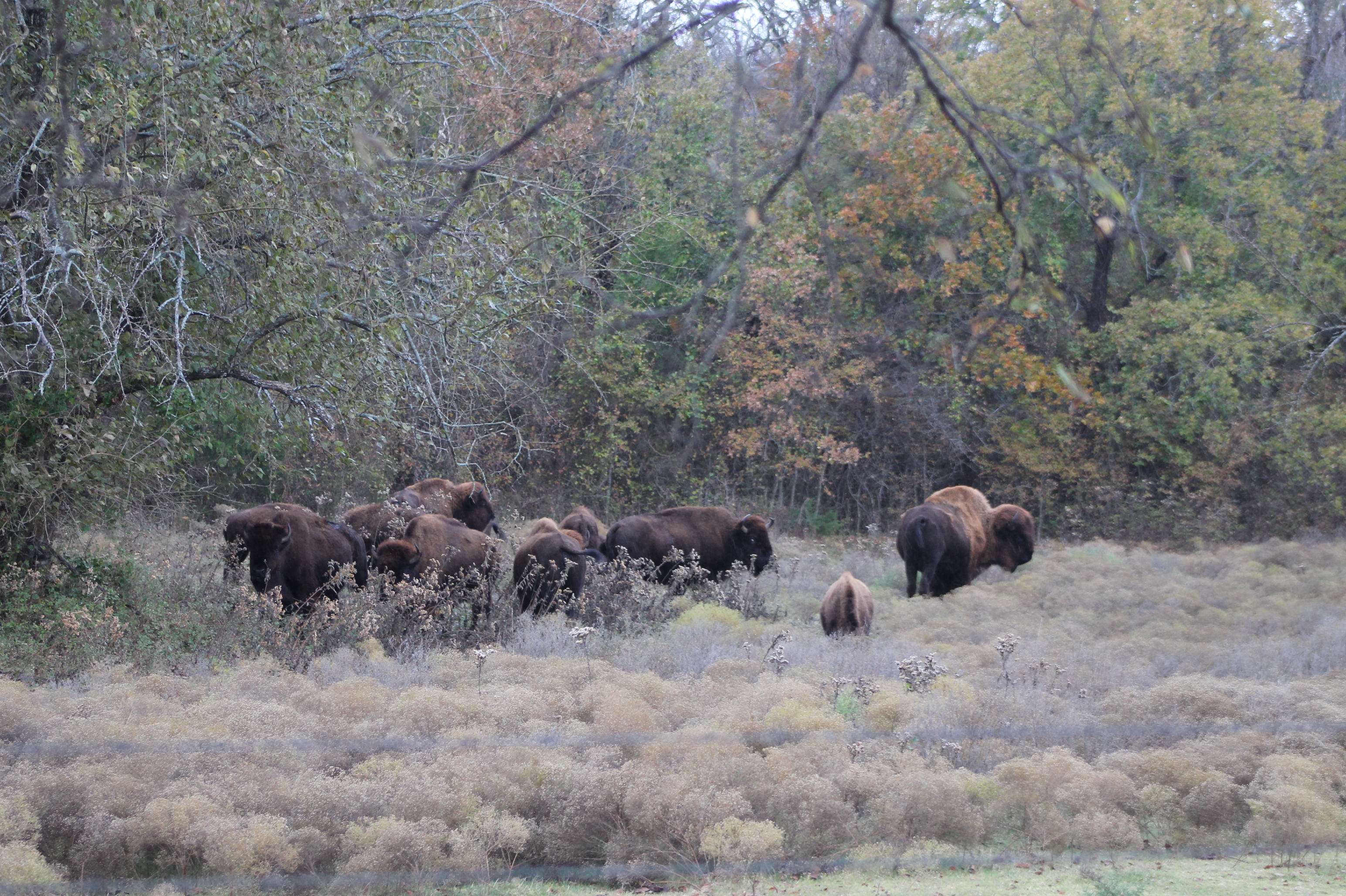
Park Photos
Activities
Operating Hours
Outdoor Areas
Many outdoor areas are available 24 hours a day. Please visit the current conditions page for details.
| mon | tue | wed | thu | fri | sat | sun |
|---|---|---|---|---|---|---|
| All Day | All Day | All Day | All Day | All Day | All Day | All Day |
Frequently Asked Questions
How much does it cost to enter Chickasaw National Recreation Area?
Chickasaw National Recreation Area is free to enter.
What are the best activities at Chickasaw National Recreation Area?
Popular activities at Chickasaw National Recreation Area include: Astronomy, Stargazing, Biking, Mountain Biking, Road Biking, Boating, Motorized Boating, Jet Skiing.
What is the weather like at Chickasaw National Recreation Area?
Summers are hot and humid. Temperatures above 100ºF occur, and humidity often exceeds 50%. Winters are mild and prolonged freezes are rare. Thunderstorms are common April through July.
How do I get to Chickasaw National Recreation Area?
From US I-35 drive through the towns of Davis and towards the town of Sulphur. There are a variety of destinations in the park to choose from.
Entrance Fees
Free Admission
Weather
Summers are hot and humid. Temperatures above 100ºF occur, and humidity often exceeds 50%. Winters are mild and prolonged freezes are rare. Thunderstorms are common April through July.
Directions
From US I-35 drive through the towns of Davis and towards the town of Sulphur. There are a variety of destinations in the park to choose from.
📍 View on Google Maps →Location
Official Resources
NPS Official WebsiteMore Parks in Oklahoma
Other national park sites you might enjoy