Guadalupe Mountains National Park
National Park · Texas
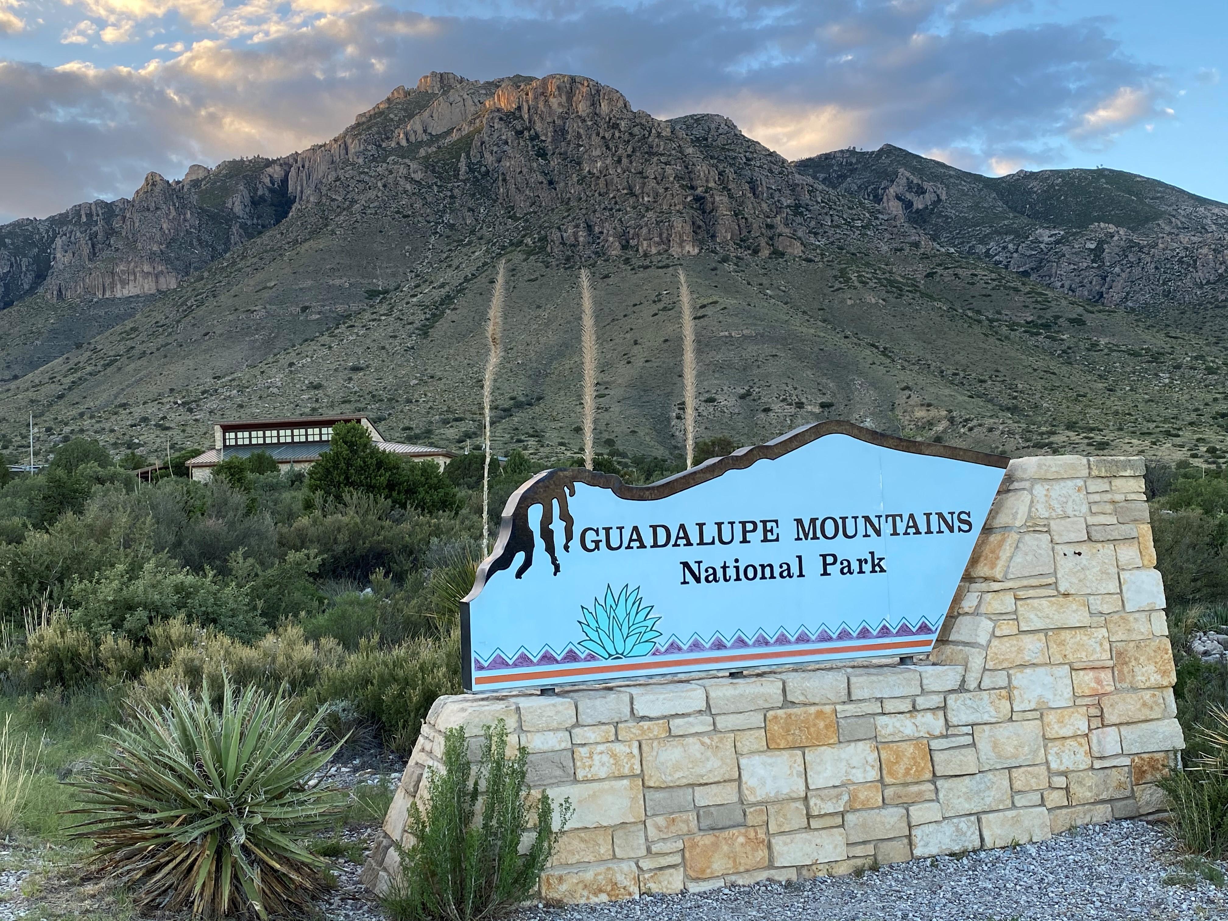
NPS/Bieri

National park in Texas, United States
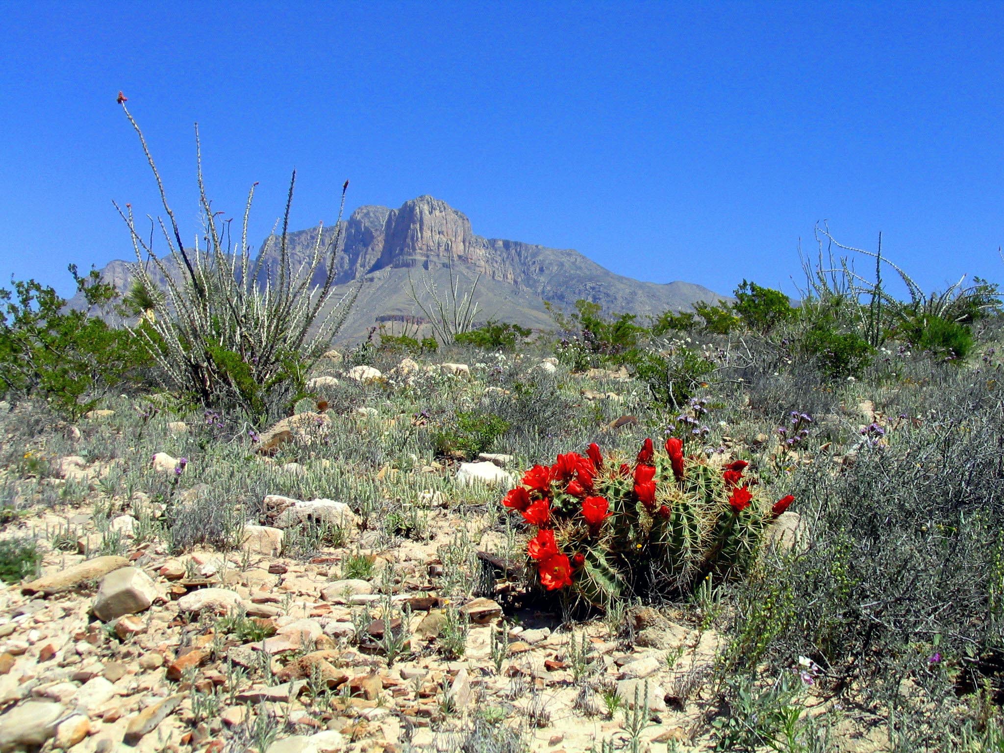
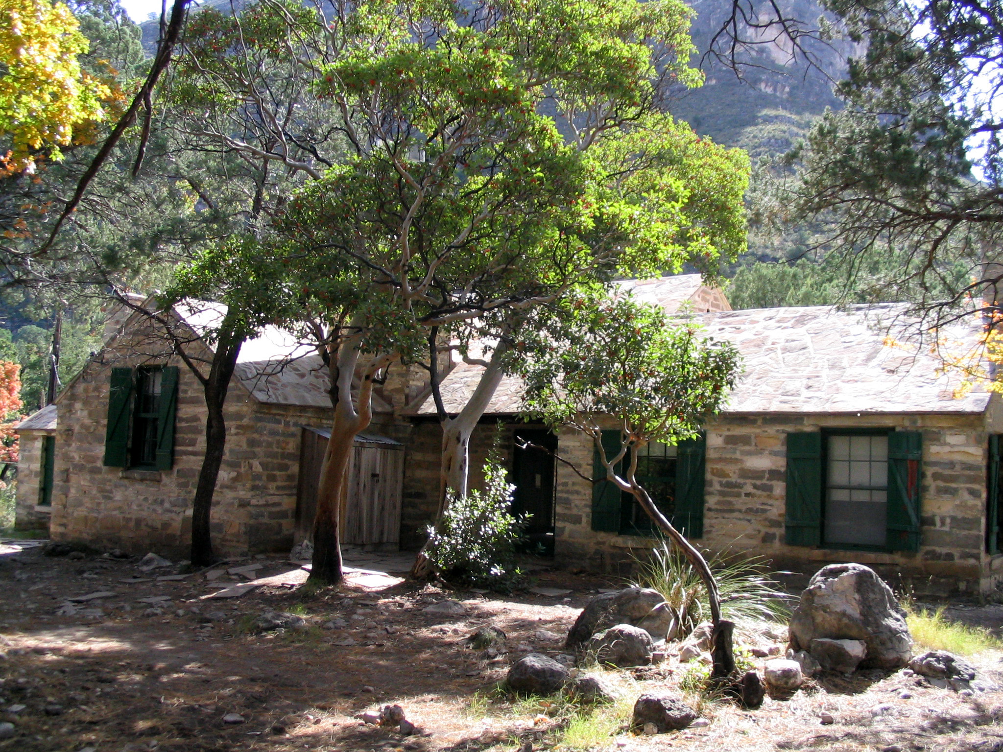
Guadalupe Mountains National Park is a national park of the United States in the Guadalupe Mountains, east of El Paso, Texas. The mountain range includes Guadalupe Peak, the highest point in Texas at 8,751 feet (2,667 m), and El Capitan used as a landmark by travelers on the route later followed by the Butterfield Overland Mail stagecoach line. The ruins of a stagecoach station stand near the Pine Springs visitor center. The restored Frijole Ranch contains a small museum of local history and is the trailhead for Smith Spring. The park covers 86,367 acres in the same mountain range as Carlsbad Caverns National Park, about 25 miles (40 km) to the north in New Mexico. The Guadalupe Peak Trail winds through pinyon pine and Douglas-fir forests as it ascends over 3,000 feet (910 m) to the summit of Guadalupe Peak, with views of El Capitan and the Chihuahuan Desert.
About Guadalupe Mountains National Park
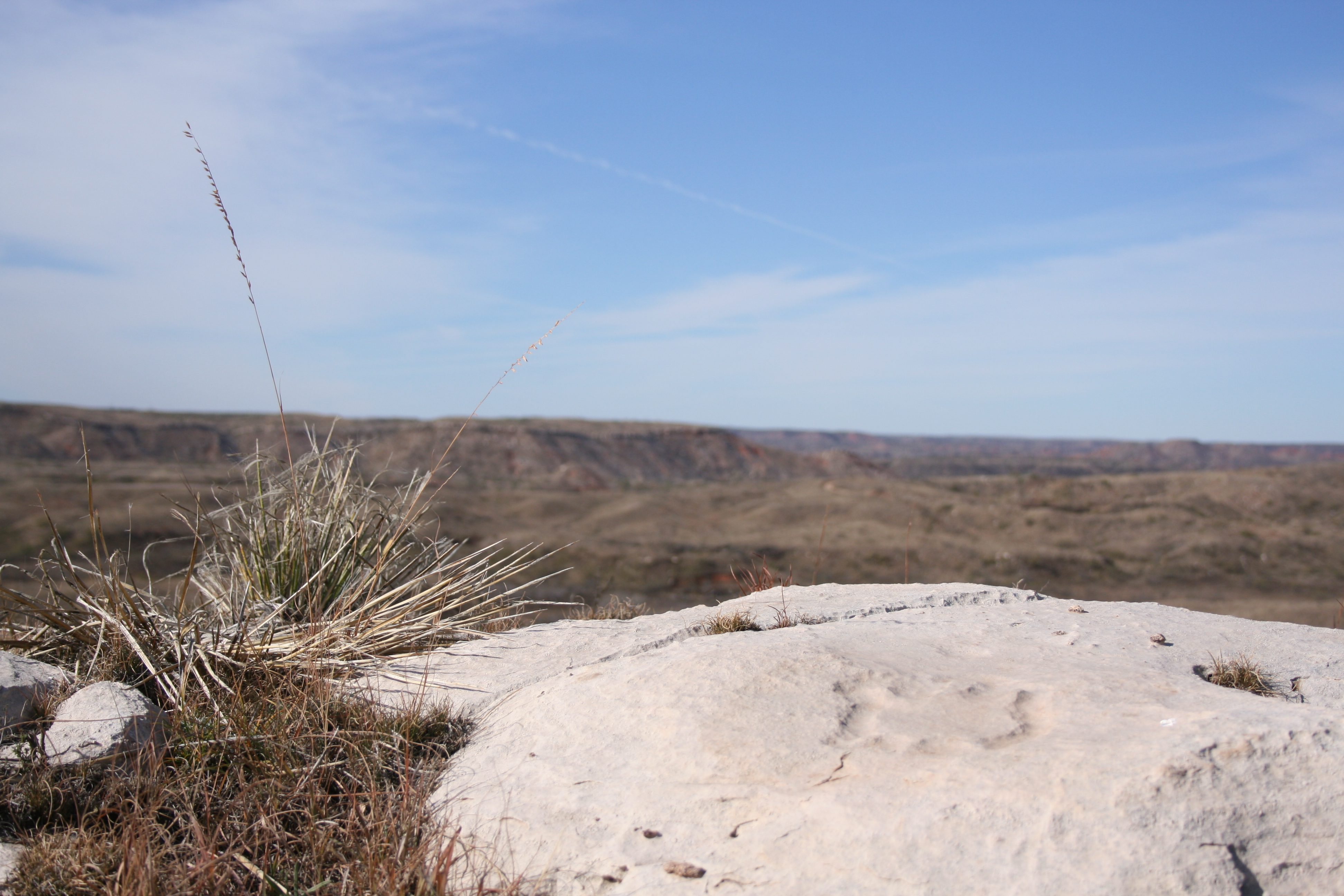
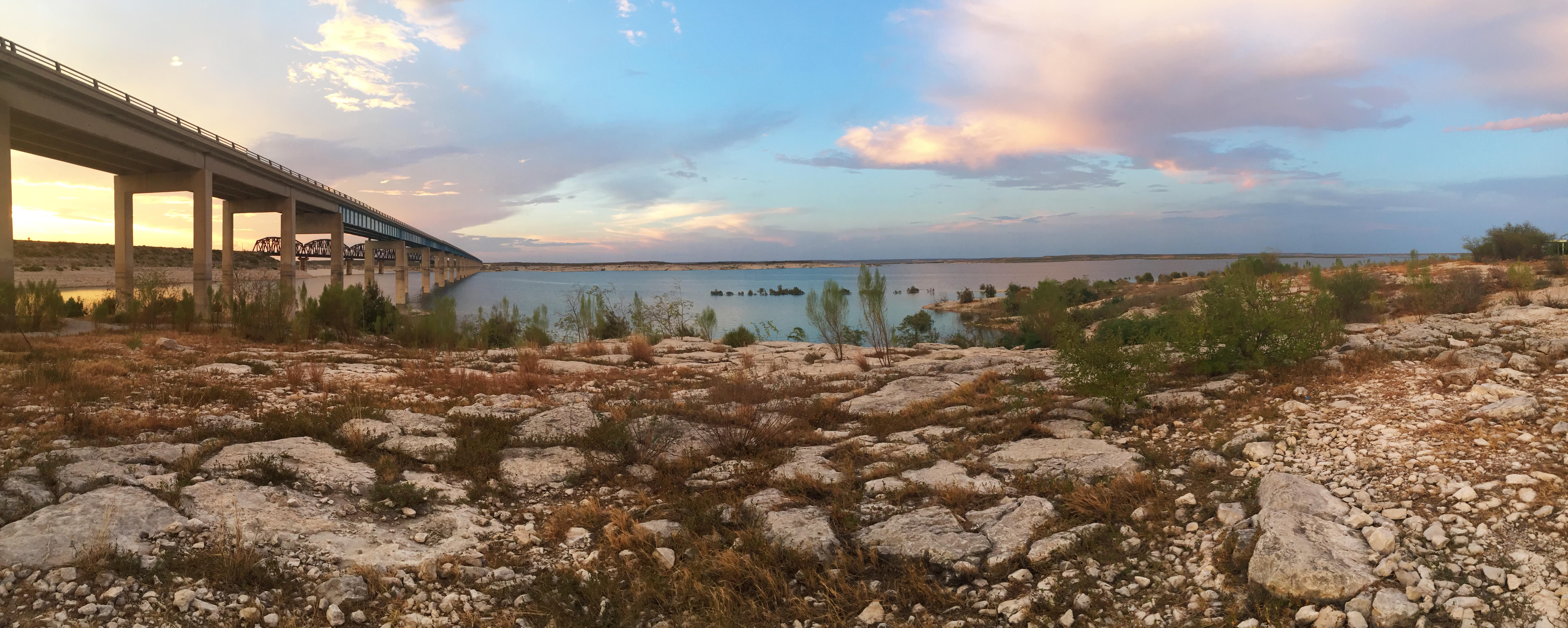
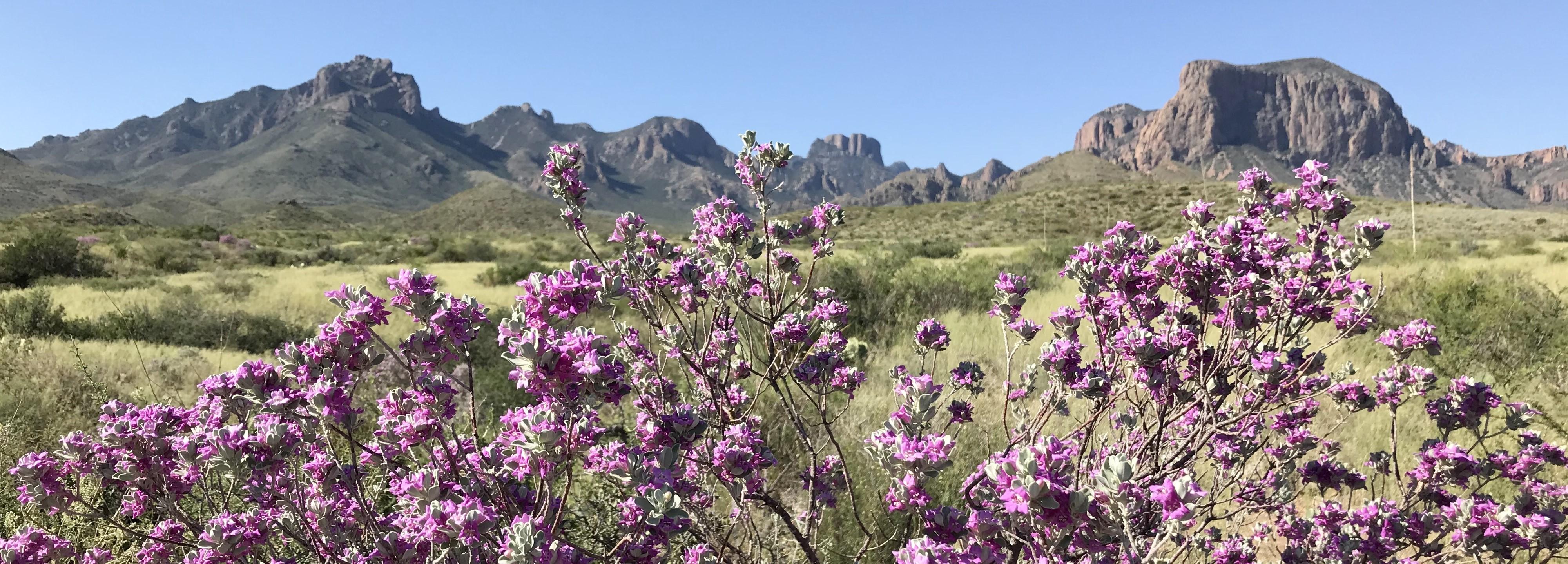
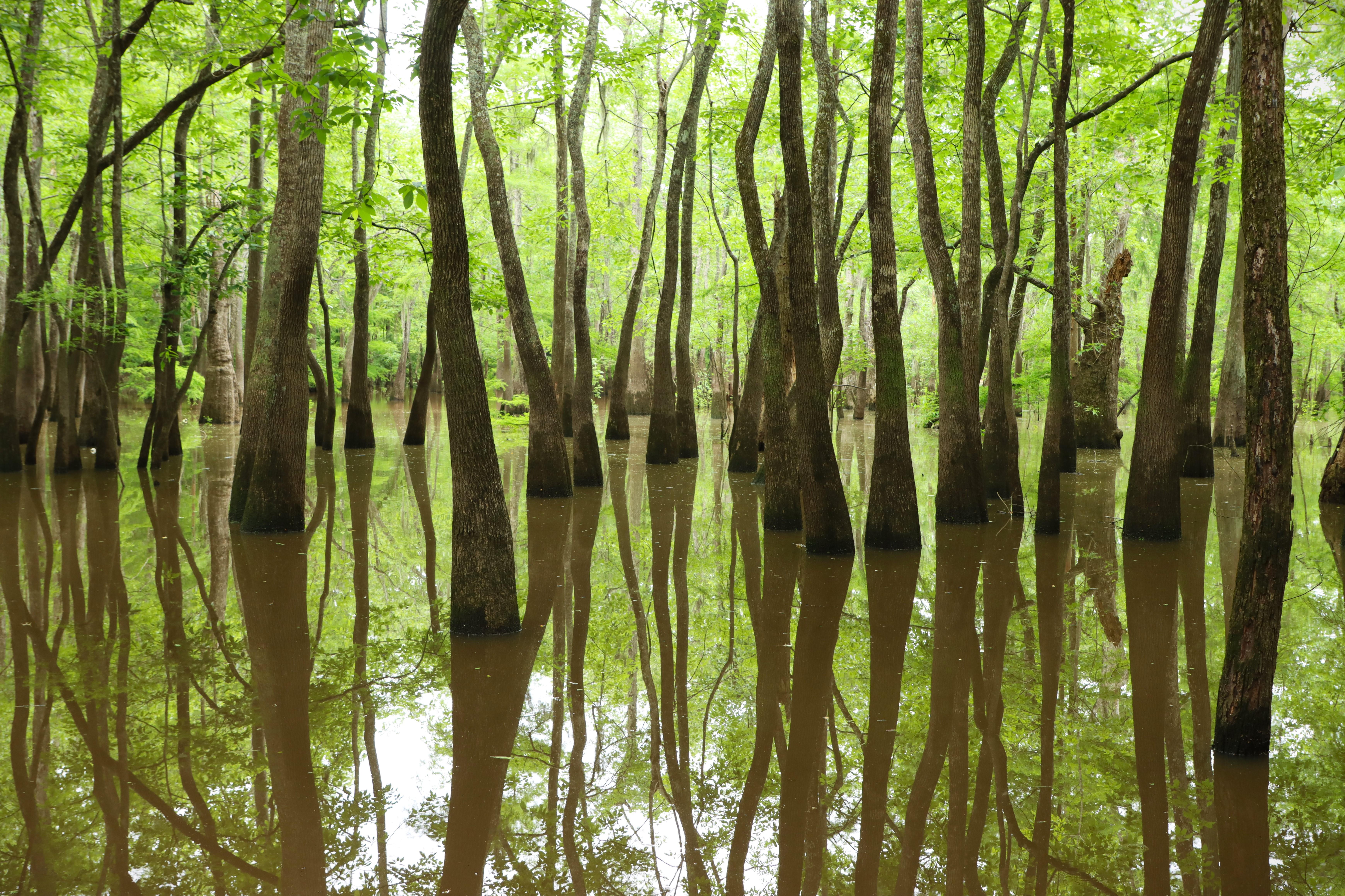
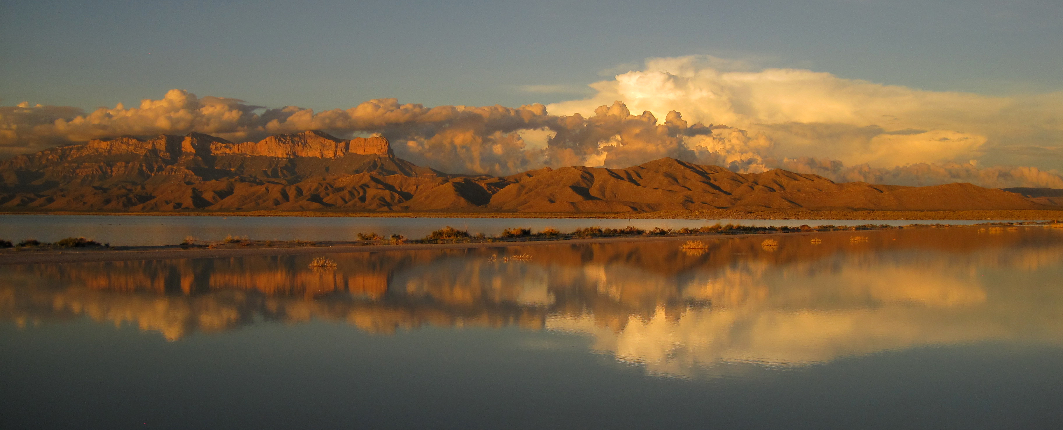
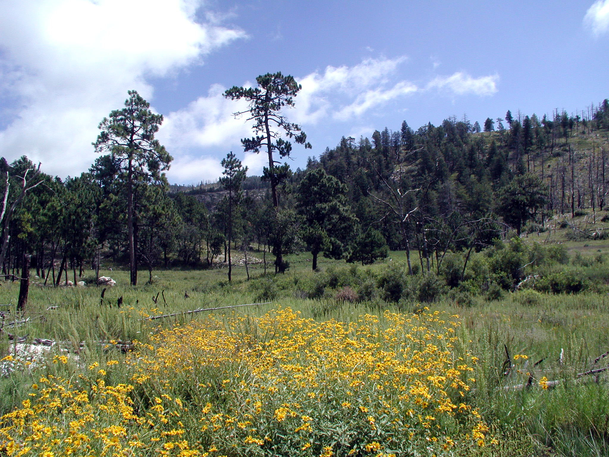
Come experience mountains and canyons, desert and dunes, night skies and spectacular vistas within a place unlike any other. Guadalupe Mountains National Park protects the world's most extensive Permian fossil reef, the four highest peaks in Texas, an environmentally diverse collection of flora and fauna, and the stories of lives shaped through conflict, cooperation and survival.
Park Photos
Activities
Operating Hours
Pine Springs
The Pine Springs area, including the campground, visitor center, trailhead, and associated parking areas are open and accessible all of the time during normal operations. Camping is permitted in designated campsites only.
| mon | tue | wed | thu | fri | sat | sun |
|---|---|---|---|---|---|---|
| All Day | All Day | All Day | All Day | All Day | All Day | All Day |
Salt Basin Dunes
Located on the remote west side of the park, these striking dunes cover nearly 2,000 acres. The Salt Basin Dunes are designated day use only and are accessible for visitation beginning at sunrise to 30 minutes after sunset. Camping is specifically prohibited. The surface of the access road is clay. During rainy weather, the road becomes dangerously slippery; it is unsafe to travel when wet. The speed limit is 25 miles per hour. Watch for livestock on the roadway.
| mon | tue | wed | thu | fri | sat | sun |
|---|---|---|---|---|---|---|
| Sunrise to Sunset | Sunrise to Sunset | Sunrise to Sunset | Sunrise to Sunset | Sunrise to Sunset | Sunrise to Sunset | Sunrise to Sunset |
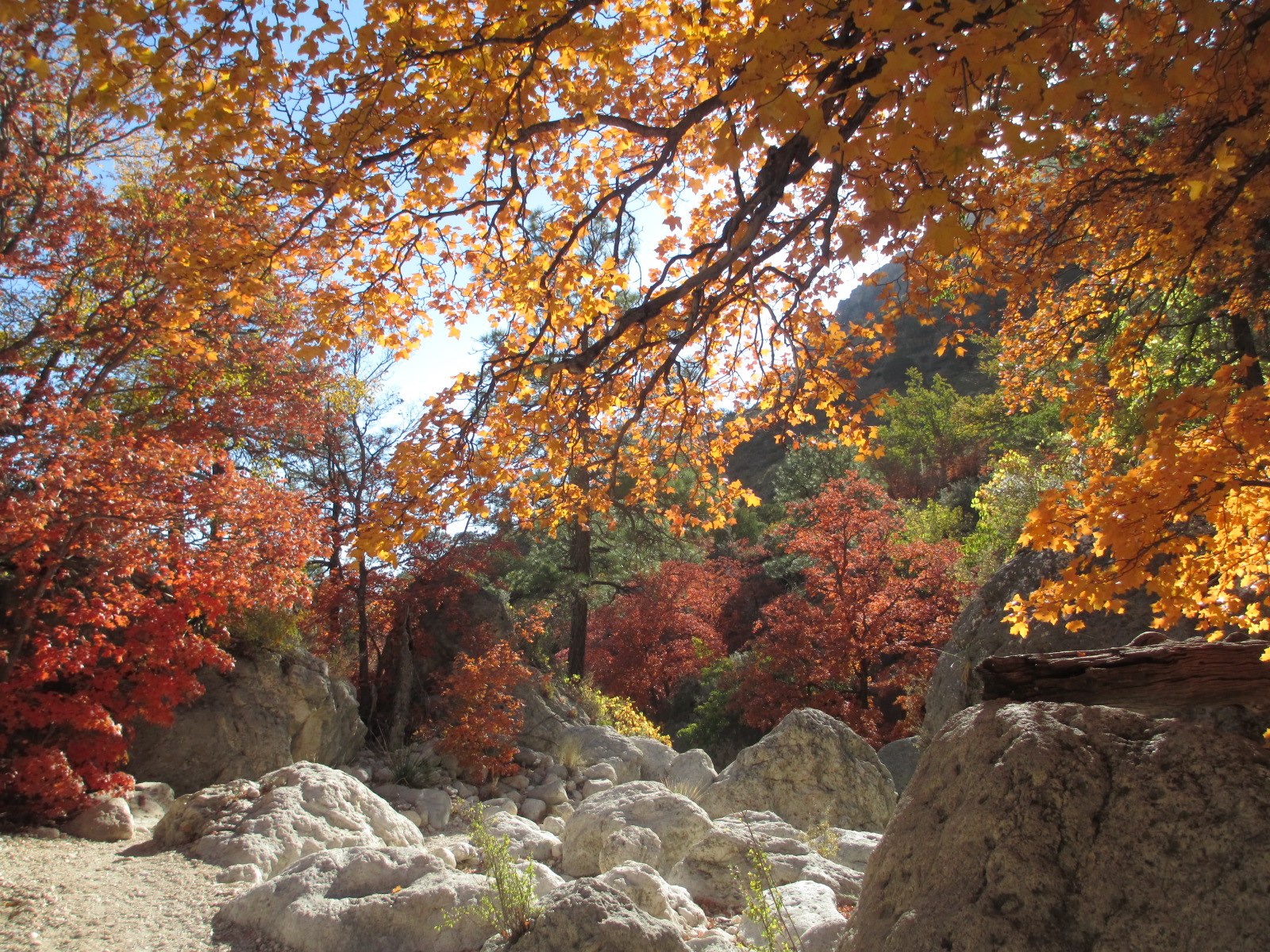
McKittrick Canyon
McKittrick Canyon is designated as day-use only, with visiting hours from 8:00 a.m. - 5:00 p.m. (Mountain Time) daily. Please exit McKittrick Canyon before the posted closing time. The entrance gate on U.S.Highway 62/180 is locked each evening.
| mon | tue | wed | thu | fri | sat | sun |
|---|---|---|---|---|---|---|
| 8:00AM - 5:00PM | 8:00AM - 5:00PM | 8:00AM - 5:00PM | 8:00AM - 5:00PM | 8:00AM - 5:00PM | 8:00AM - 5:00PM | 8:00AM - 5:00PM |
Frijole Ranch
The Frijole Ranch Road provides access to the Frijole Horse Campsites, the Frijole Ranch History Museum, and the associated trailhead. A picnic area is located at the end of the road. Camping is permitted in designated campsites only.
| mon | tue | wed | thu | fri | sat | sun |
|---|---|---|---|---|---|---|
| Sunrise to Sunset | Sunrise to Sunset | Sunrise to Sunset | Sunrise to Sunset | Sunrise to Sunset | Sunrise to Sunset | Sunrise to Sunset |
Dog Canyon
Dog Canyon lies in a secluded, forested canyon on the north end of the park at an elevation of 6,300 feet. Remote and far removed from civilization; it stands at the edge of the wilderness boundary, and offers an ideal location for quiet camping, birding, hiking, and solitude. A visitor center, trailhead, and campground are available. The Dog Canyon district is open all day during normal park operations.
| mon | tue | wed | thu | fri | sat | sun |
|---|---|---|---|---|---|---|
| All Day | All Day | All Day | All Day | All Day | All Day | All Day |
Frequently Asked Questions
How much does it cost to enter Guadalupe Mountains National Park?
Entrance - Per Person: $10.00. An entrance fee of $10 per person (16 years of age and older) is required; entrance fees/passes permit 1-7 consecutive days of use in this national park. Holders of the Annual, Senior, Military, 4th grade and Access Pass can bring in 3 adults free of charge under their pass. Any pass must be displayed in a vehicle while in the national park. Entrance - Education/Academic Groups: $0.00. Entrance fee waivers are available to groups when the purpose of their visit is educational rather than recreational. Completed applications along with required documentation must be submitted via email. Fee waiver requests must be submitted at least six weeks before a scheduled visit to allow for consideration.
What are the best activities at Guadalupe Mountains National Park?
Popular activities at Guadalupe Mountains National Park include: Auto and ATV, Auto Off-Roading, Camping, Backcountry Camping, Car or Front Country Camping, Horse Camping (see also Horse/Stock Use), Group Camping, RV Camping.
What is the weather like at Guadalupe Mountains National Park?
The Guadalupe Mountains are known for high winds year-round; gusts can reach 60MPH or higher. In winter the mountains experiences occasional, light snowfalls which seldom last more than a day. From May through October, temperatures vary with highs between 80F-100F+ with lows in the 40F-60F range. November to April is generally milder with highs in between 50F-70F with lows in the 30F-50F range. Elevations above 8,000’ will be about 10F cooler than headquarters, with corresponding wind-chill.
How do I get to Guadalupe Mountains National Park?
Guadalupe Mountains National Park is located on the north side of US Hwy 62/180. If you are traveling east from El Paso, TX, we are 110 miles East of the city. Follow US Hwy 62/180 North to the Pine Springs Visitor Center. If you are traveling from Van Horn, TX, you will travel north on US 54 and make a right-hand turn at the junction of US 62/180 to arrive at the park. If you are traveling west from Carlsbad, NM, you will travel on US Hwy 62/180 South and cross into Texas. Follow signs to the park.
Entrance Fees
An entrance fee of $10 per person (16 years of age and older) is required; entrance fees/passes permit 1-7 consecutive days of use in this national park. Holders of the Annual, Senior, Military, 4th grade and Access Pass can bring in 3 adults free of charge under their pass. Any pass must be displayed in a vehicle while in the national park.
Entrance fee waivers are available to groups when the purpose of their visit is educational rather than recreational. Completed applications along with required documentation must be submitted via email. Fee waiver requests must be submitted at least six weeks before a scheduled visit to allow for consideration.
Weather
The Guadalupe Mountains are known for high winds year-round; gusts can reach 60MPH or higher. In winter the mountains experiences occasional, light snowfalls which seldom last more than a day. From May through October, temperatures vary with highs between 80F-100F+ with lows in the 40F-60F range. November to April is generally milder with highs in between 50F-70F with lows in the 30F-50F range. Elevations above 8,000’ will be about 10F cooler than headquarters, with corresponding wind-chill.
Directions
Guadalupe Mountains National Park is located on the north side of US Hwy 62/180. If you are traveling east from El Paso, TX, we are 110 miles East of the city. Follow US Hwy 62/180 North to the Pine Springs Visitor Center. If you are traveling from Van Horn, TX, you will travel north on US 54 and make a right-hand turn at the junction of US 62/180 to arrive at the park. If you are traveling west from Carlsbad, NM, you will travel on US Hwy 62/180 South and cross into Texas. Follow signs to the park.
📍 View on Google Maps →Location
Official Resources
NPS Official WebsiteMore Parks in Texas
Other national park sites you might enjoy