Ice Age Floods National Geologic Trail
National Geologic Trail · Washington, Oregon, Idaho, Montana
NPS Photo

Network of routes connecting natural sites
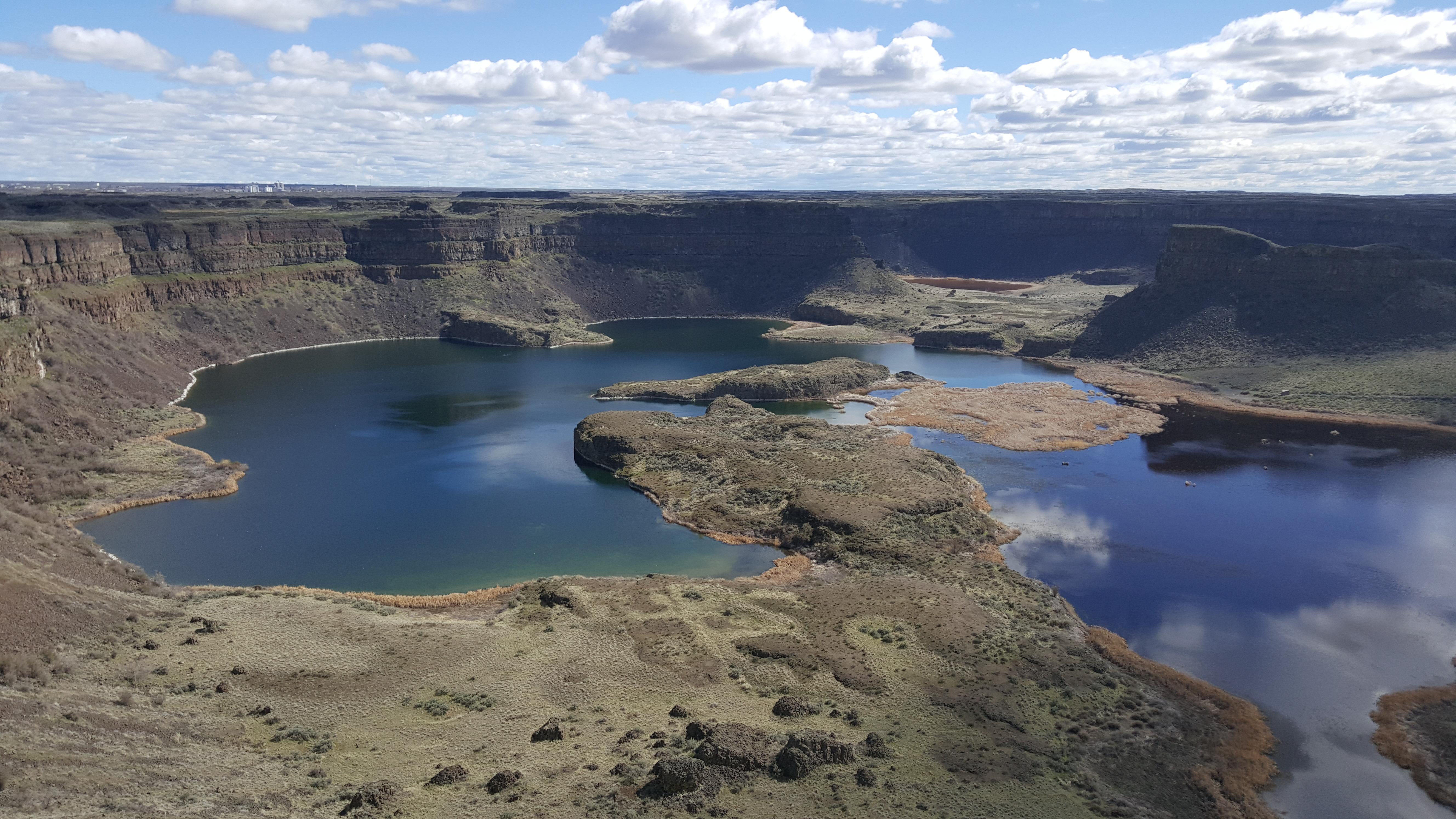
The Ice Age Floods National Geologic Trail is a network of routes connecting natural sites and facilities that provide interpretation of the geological consequences of the Glacial Lake Missoula floods of the last glacial period that occurred about 18,000 to 15,000 years ago. It includes sites in Washington, Oregon, Idaho, and Montana. It was designated as the first National Geologic Trail in the United States in 2009.
About Ice Age Floods National Geologic Trail
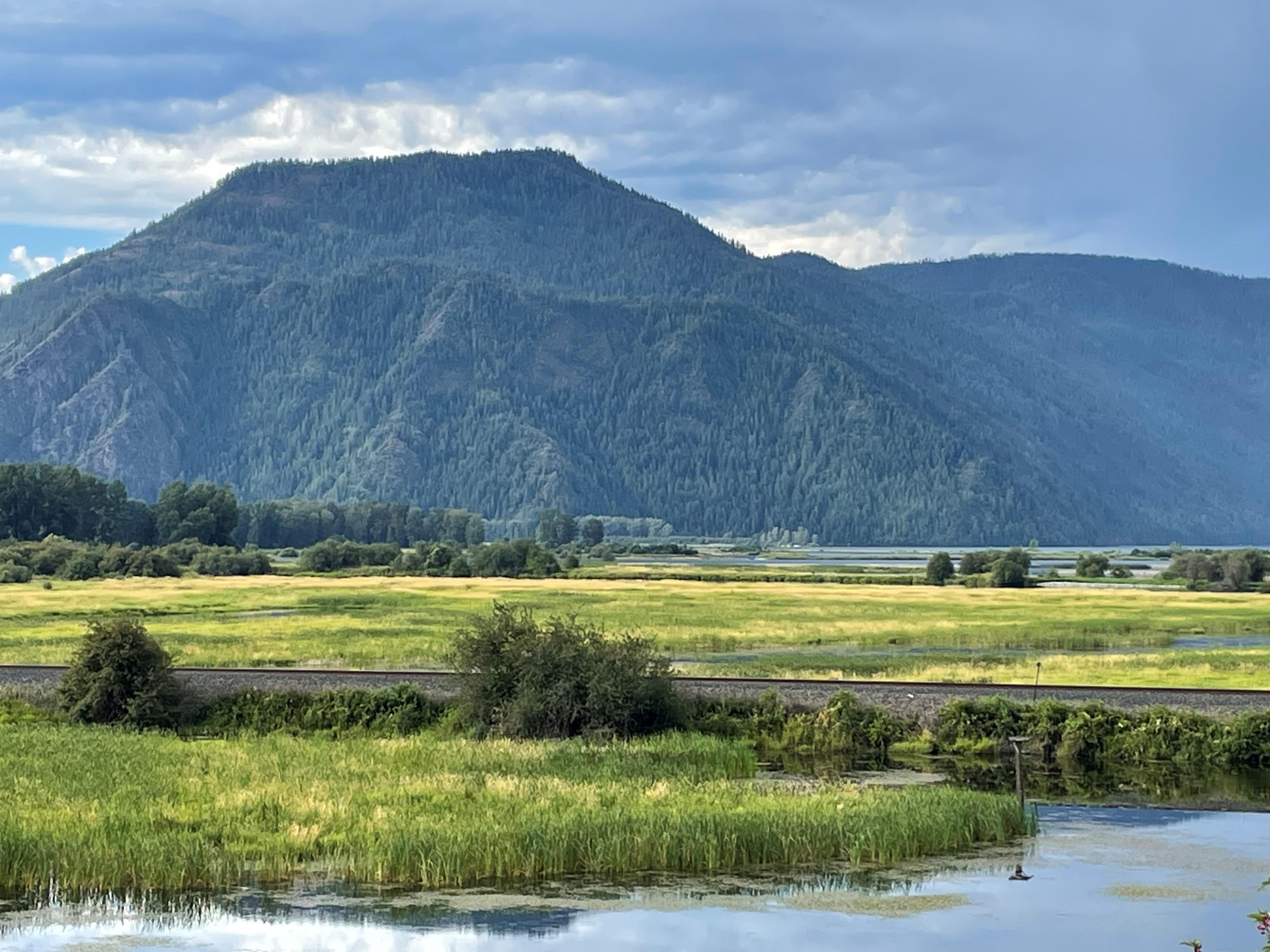
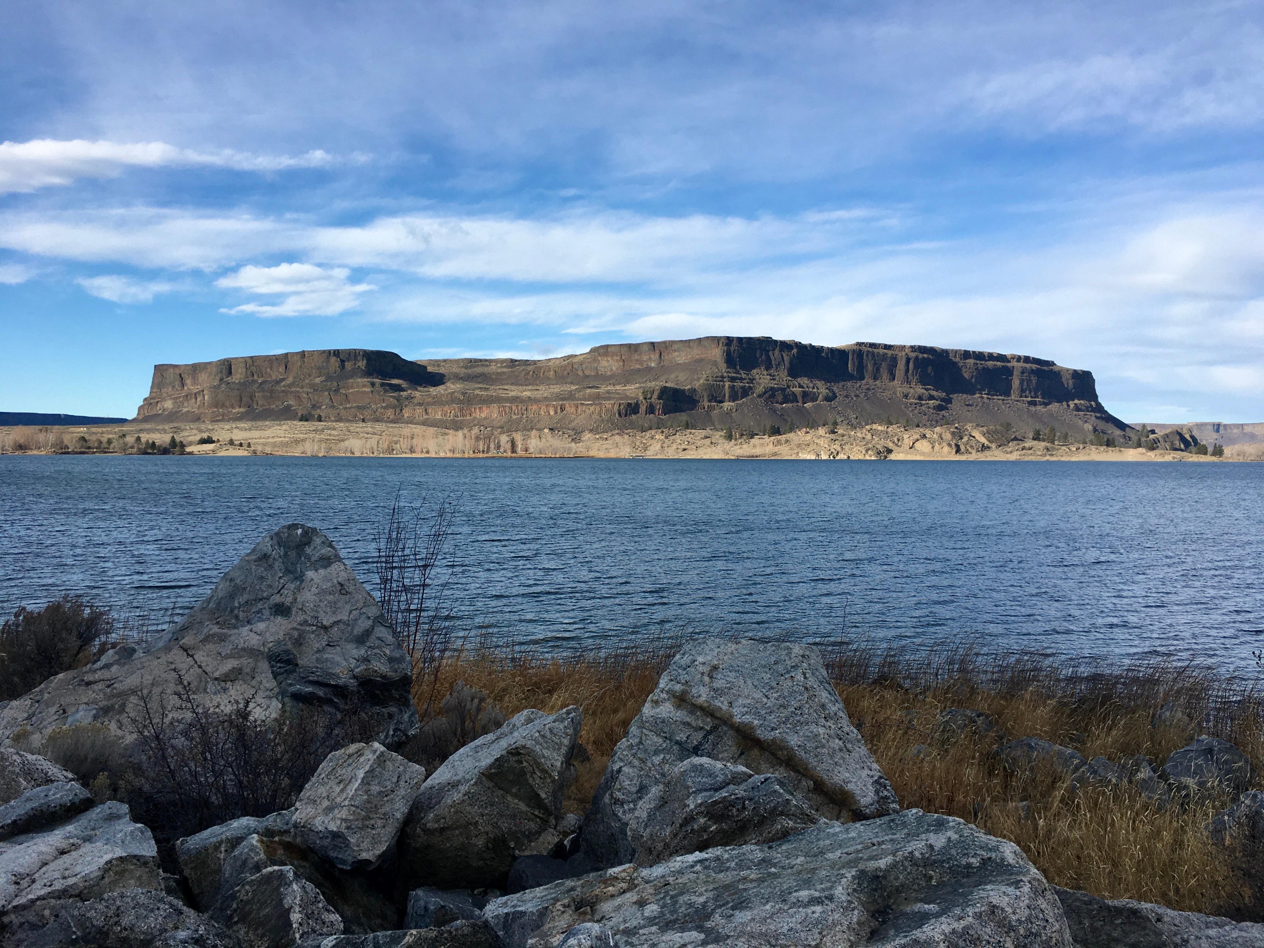
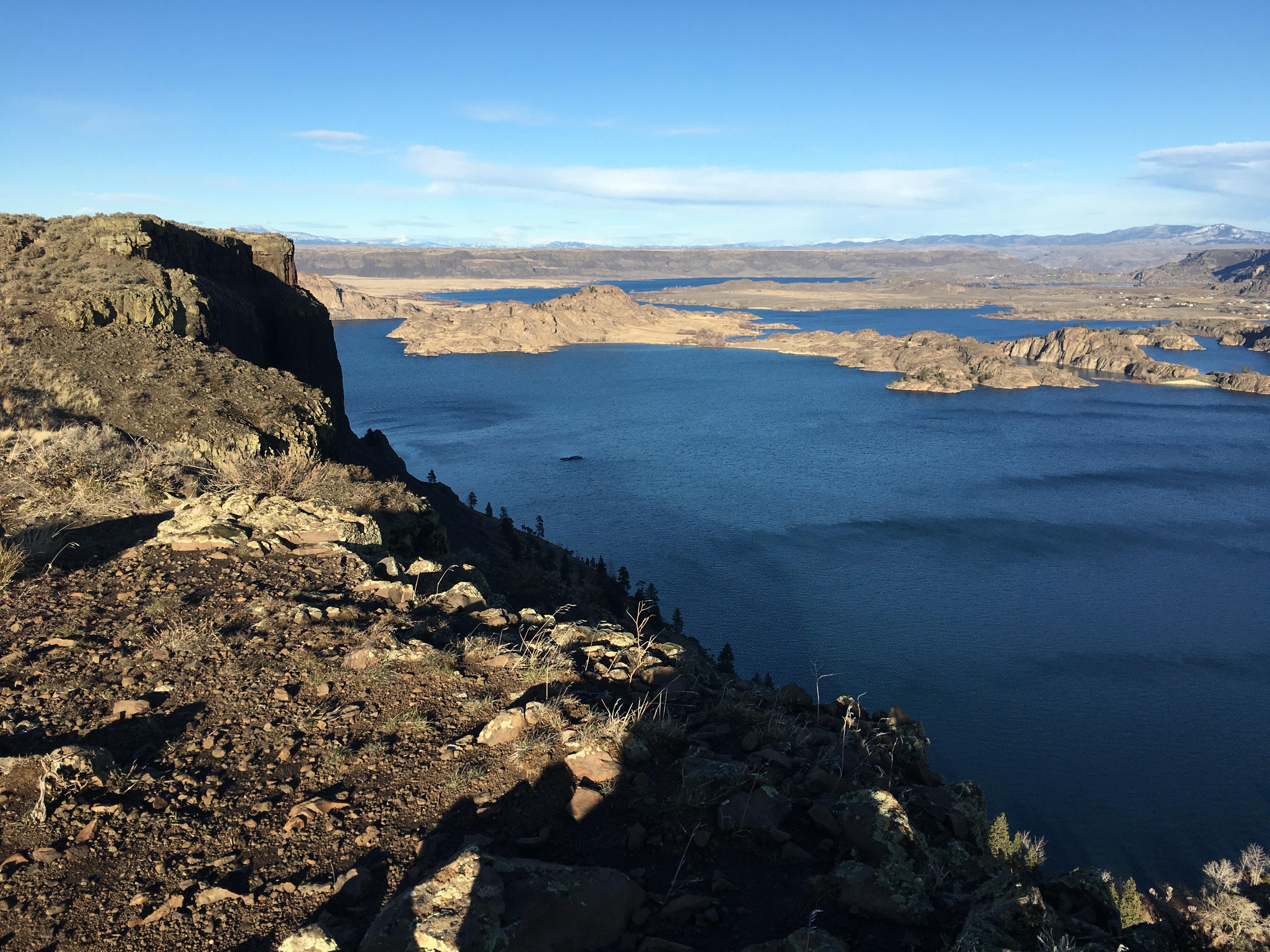
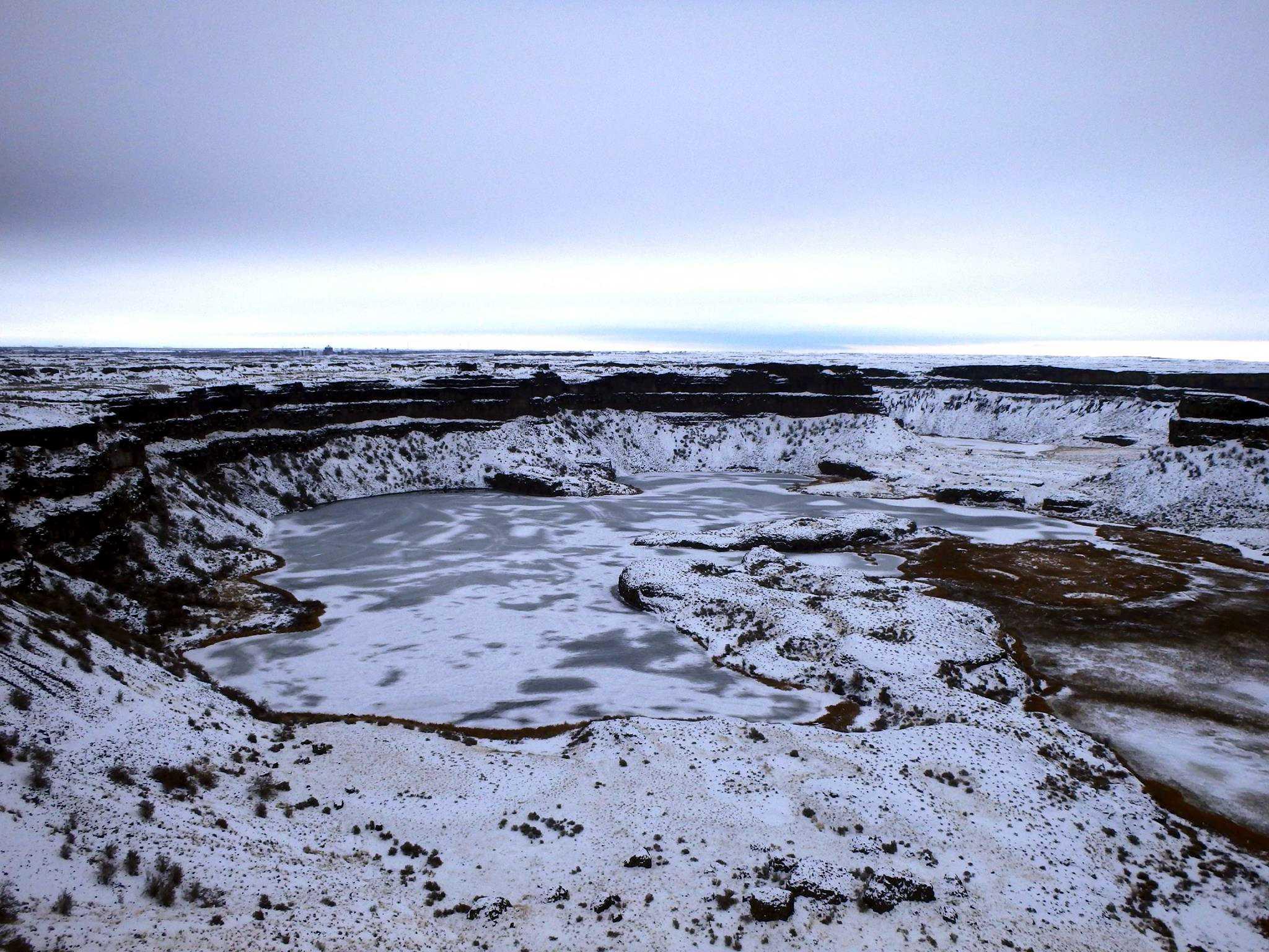
At the end of the last Ice Age, 18,000 to 15,000 years ago, an ice dam in northern Idaho created Glacial Lake Missoula stretching 3,000 square miles around Missoula, Montana. The dam burst and released flood waters across Washington, down the Columbia River into Oregon before reaching the Pacific Ocean. The Ice Age Floods forever changed the lives and landscape of the Pacific Northwest.
Park Photos
Activities
Operating Hours
Ice Age Floods National Geologic Trail
The Ice Age Floods National Geologic Trail is a collection of sites operated and owned by a variety of partners. , Hours of operation and season will vary from site to site. Please check each respective site for more details and information.
| mon | tue | wed | thu | fri | sat | sun |
|---|---|---|---|---|---|---|
| All Day | All Day | All Day | All Day | All Day | All Day | All Day |
Frequently Asked Questions
How much does it cost to enter Ice Age Floods National Geologic Trail?
Ice Age Floods National Geologic Trail is free to enter.
What are the best activities at Ice Age Floods National Geologic Trail?
Popular activities at Ice Age Floods National Geologic Trail include: Guided Tours, Self-Guided Tours - Walking, Self-Guided Tours - Auto, Junior Ranger Program.
What is the weather like at Ice Age Floods National Geologic Trail?
The National Geologic Trail is a collection of sites stretched across a four state area, the weather will vary from site to site. Please check the weather for your local region, or the region you'll be visiting, through their respective sites.
How do I get to Ice Age Floods National Geologic Trail?
To Trail Headquarters from Spokane Take I-90 West At Exit 277, merge onto US-2 toward Davenport/Fairchild AFB/Spokane Airport Just past Wilbur, turn right onto WA-21 Stay left onto Highway 174 Turn right onto WA-155 Stay on WA-155 past Grand Coulee Dam and into the town of Coulee Dam Cross the Columbia River and continue on WA-155 Turn right onto Crest Drive and follow up the hill. The HQ Office is located on the left
Entrance Fees
Free Admission
Weather
The National Geologic Trail is a collection of sites stretched across a four state area, the weather will vary from site to site. Please check the weather for your local region, or the region you'll be visiting, through their respective sites.
Directions
To Trail Headquarters from Spokane Take I-90 West At Exit 277, merge onto US-2 toward Davenport/Fairchild AFB/Spokane Airport Just past Wilbur, turn right onto WA-21 Stay left onto Highway 174 Turn right onto WA-155 Stay on WA-155 past Grand Coulee Dam and into the town of Coulee Dam Cross the Columbia River and continue on WA-155 Turn right onto Crest Drive and follow up the hill. The HQ Office is located on the left
📍 View on Google Maps →Location
Official Resources
NPS Official WebsiteMore Parks in Washington
Other national park sites you might enjoy
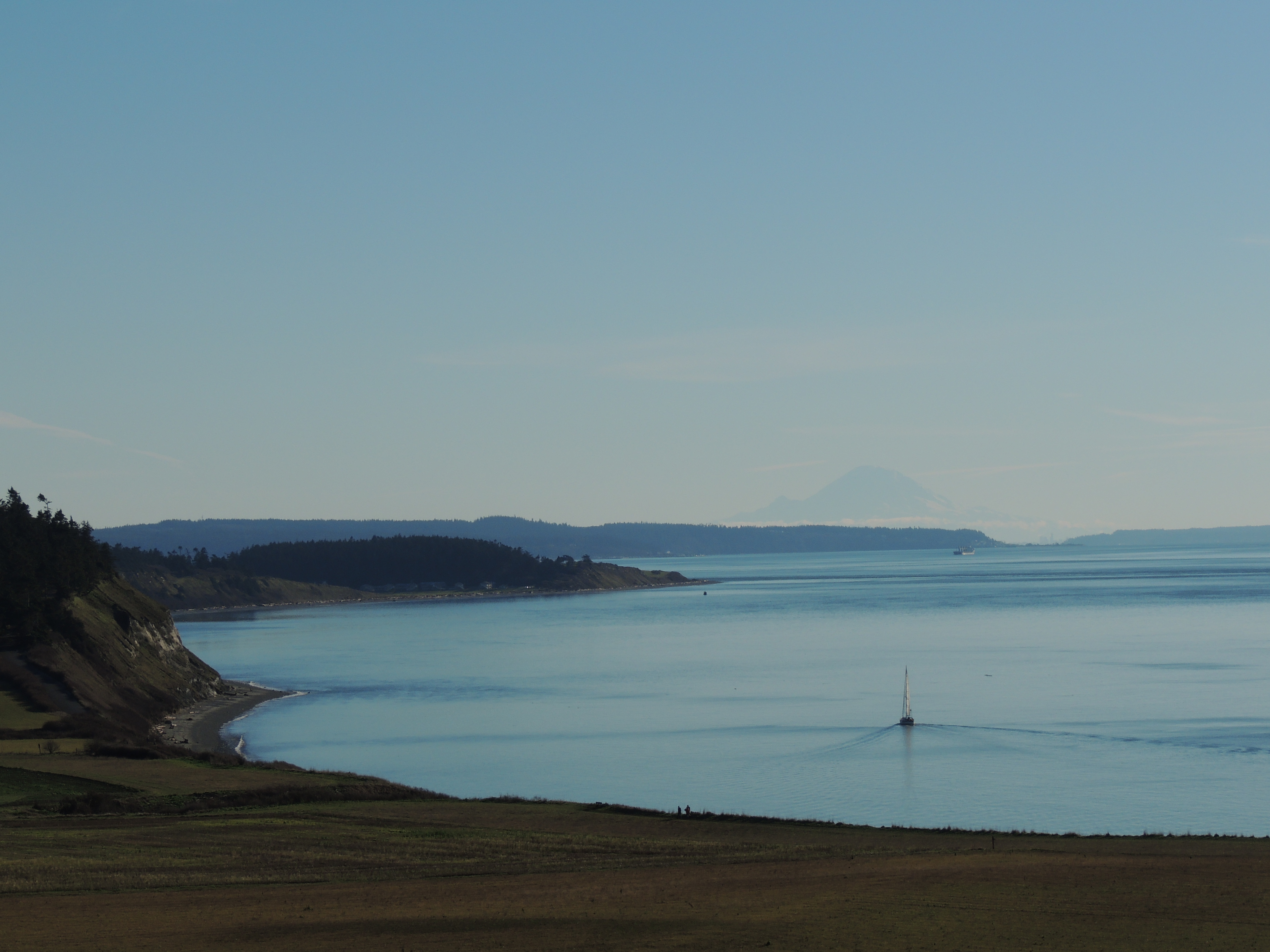
Ebey's Landing National Historical Reserve
National Historical Reserve · Free

Fort Vancouver National Historic Site
National Historic Site · $10

Klondike Gold Rush - Seattle Unit National Historical Park
National Historical Park · Free
Lake Roosevelt National Recreation Area
National Recreation Area · Free