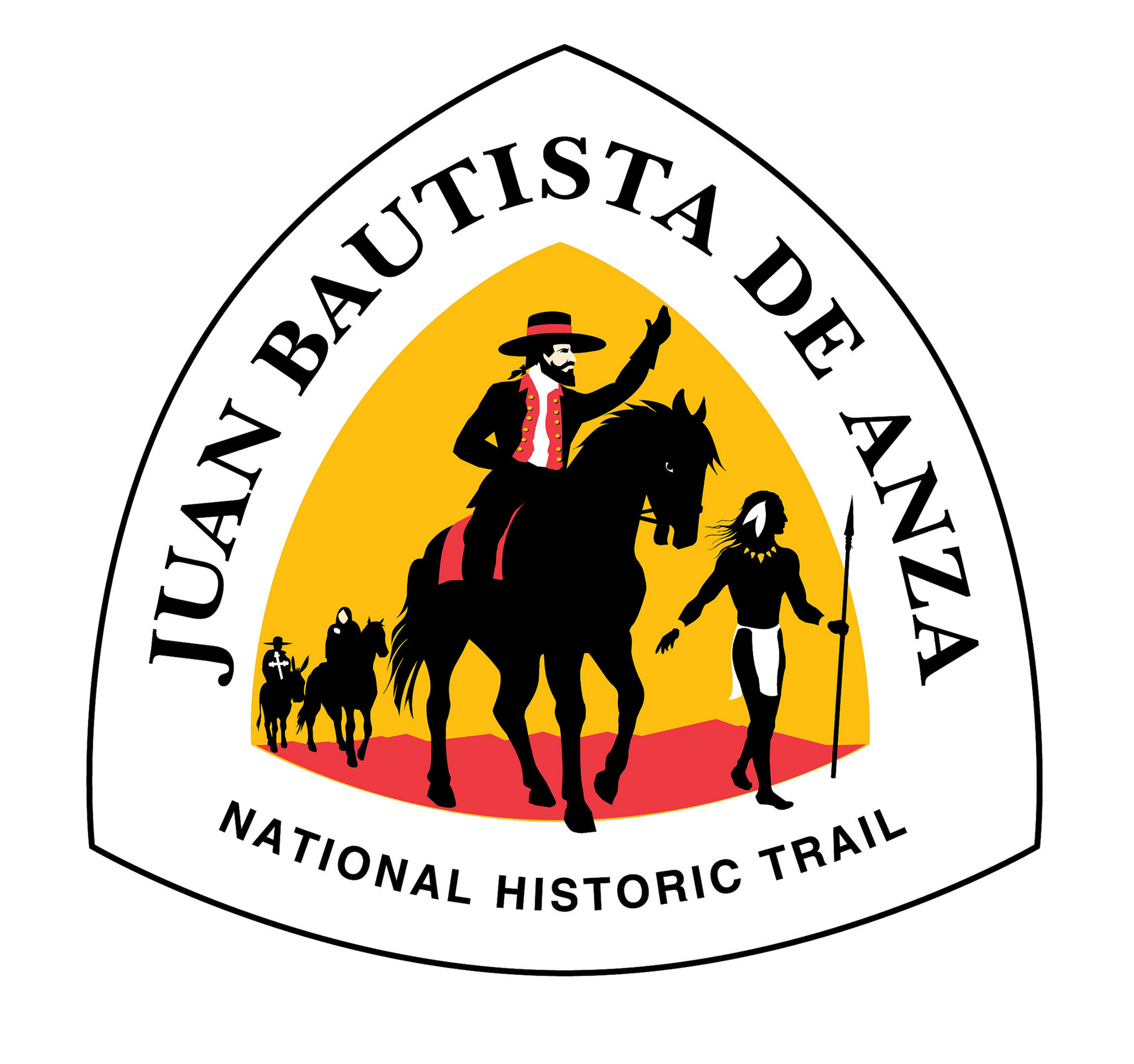
Juan Bautista de Anza National Historic Trail
National Historic Trail · Arizona, California

United States National Park Service unit
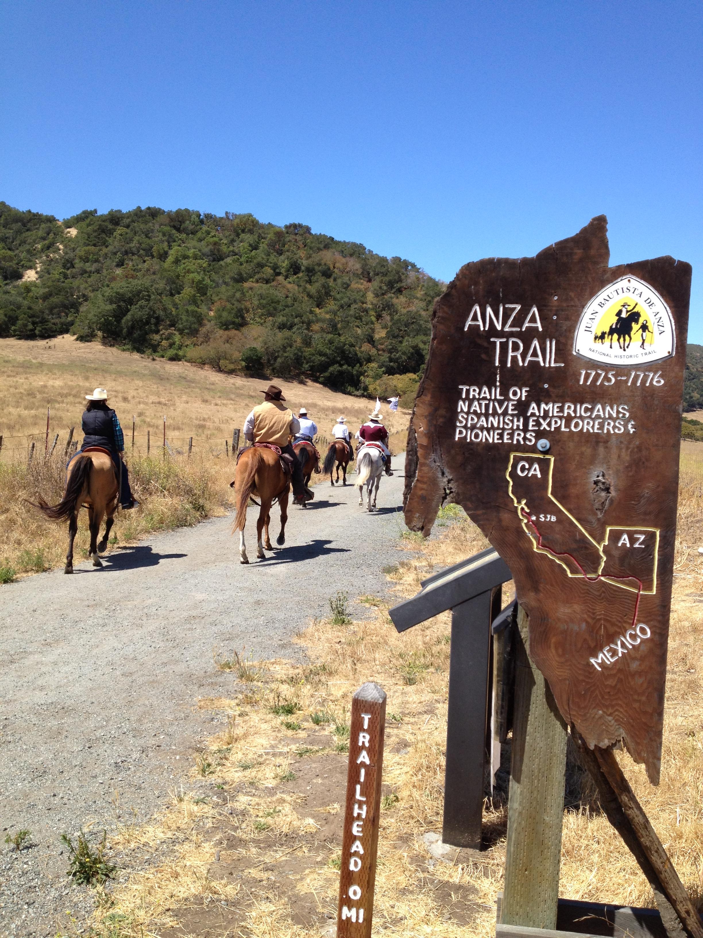
The Juan Bautista de Anza National Historic Trail is a 1,210-mile (1,950 km) trail extending from Nogales on the U.S.-Mexico border in Arizona, through the California desert and coastal areas in Southern California and the Central Coast region to San Francisco. The trail commemorates the 1775–1776 land route that Spanish commander Juan Bautista de Anza took from the Sonora y Sinaloa Province of New Spain in Colonial Mexico through to Las Californias Province. The goal of the trip was to establish a mission and presidio on San Francisco Bay. The trail was an attempt to ease the course of Spanish colonization of California by establishing a major land route north for many to follow. It was used for about five years before being closed by the Quechan (Yuma) Indians in 1781 and kept closed for the next 40 years. It is a National Historic Trail administered by the National Park Service and was also designated a National Millennium Trail.
About Juan Bautista de Anza National Historic Trail
The Juan Bautista de Anza National Historic Trail covers over 1200 miles through the homelands of 70+ Tribal communities. It follows the historic route of the 1775-76 Spanish colonizing expedition from Sonora, Mexico to San Francisco, CA. Whether urban or rural, the trail offers adventure, diverse cultural perspectives, and an opportunity to experience history.
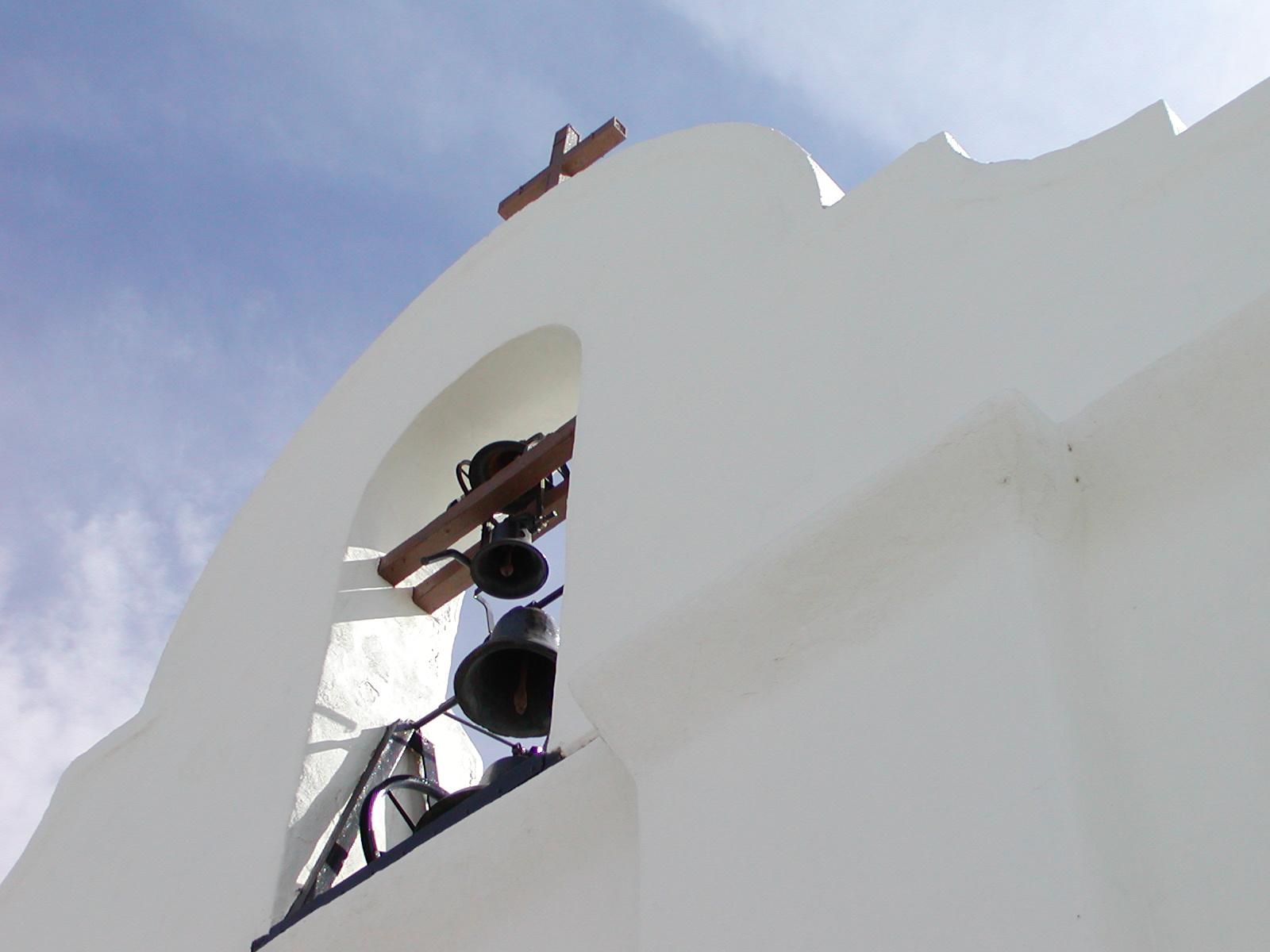
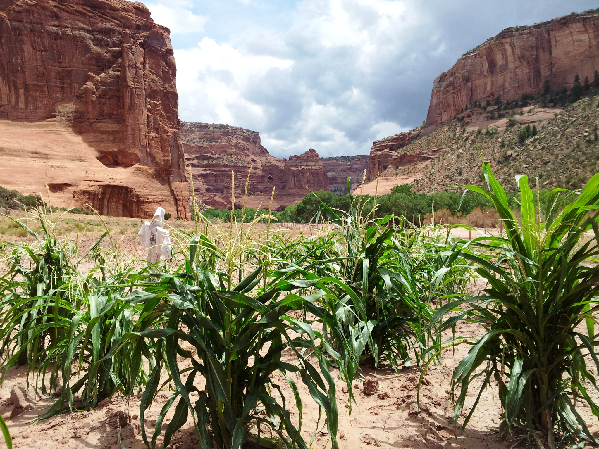
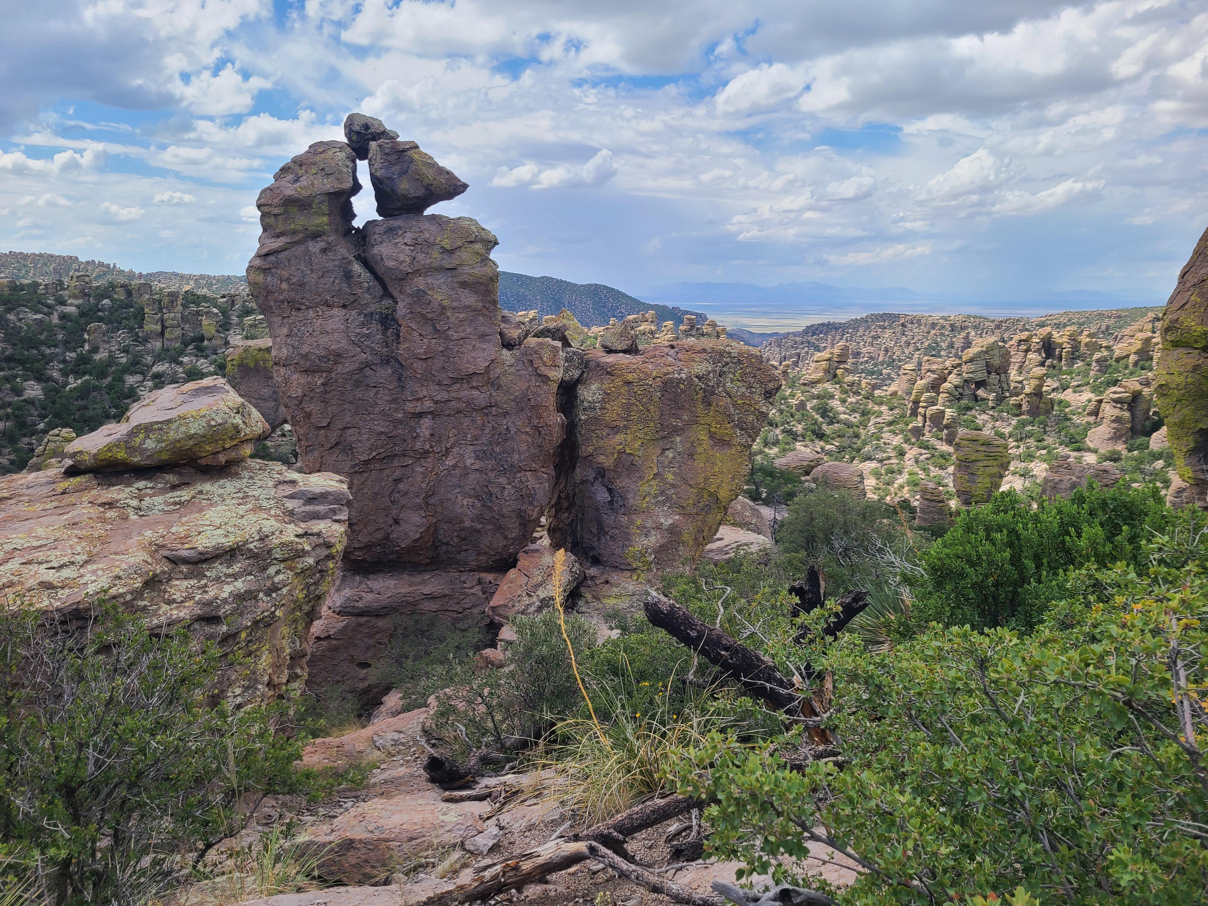
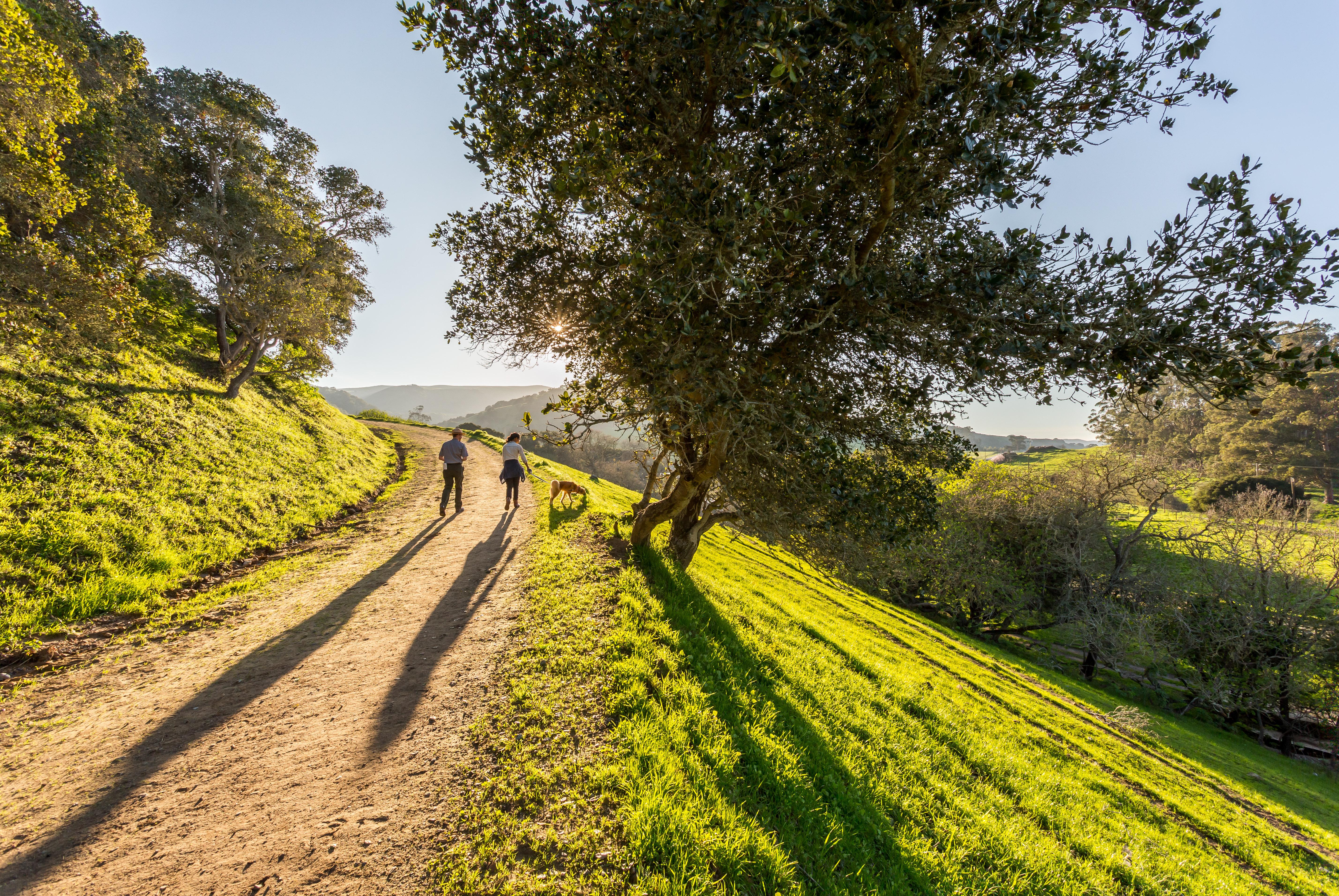
Park Photos

Activities
Operating Hours
Administrative Staff Hours
Hours listed are for the Richmond, California administrative office of the Anza Trail (admin office not currently open to public). The 1,200-mile Anza Trail connects historic, cultural, and recreation sites from Nogales, AZ, to the San Francisco Bay Area that reveal the legacy of our Spanish colonial heritage. To learn more, visit http://www.nps.gov/juba. Each site along the Anza Trail is managed independently. Contact individual sites for hours, directions, and other details.
| mon | tue | wed | thu | fri | sat | sun |
|---|---|---|---|---|---|---|
| 9:30AM - 5:00PM | 9:30AM - 5:00PM | 9:30AM - 5:00PM | 9:30AM - 5:00PM | 9:30AM - 5:00PM | Closed | Closed |
Frequently Asked Questions
How much does it cost to enter Juan Bautista de Anza National Historic Trail?
Juan Bautista de Anza National Historic Trail is free to enter.
What are the best activities at Juan Bautista de Anza National Historic Trail?
Popular activities at Juan Bautista de Anza National Historic Trail include: Auto and ATV, Scenic Driving, Biking, Mountain Biking, Road Biking, Guided Tours, Hiking, Horse Trekking.
What is the weather like at Juan Bautista de Anza National Historic Trail?
The 1,200-mile Anza Trail connects historic, cultural, and recreation sites from Nogales, AZ, to the San Francisco Bay Area. To learn more, visit http://www.nps.gov/juba. Each site along the Anza Trail is managed independently. Contact individual sites for hours, directions, and other details.
How do I get to Juan Bautista de Anza National Historic Trail?
Details listed are for the Richmond, California administrative office of the Anza Trail (administrative office is not currently open to the public). The 1,210-mile Anza Trail connects historic, cultural, and recreation sites from Nogales, AZ, to the San Francisco Bay Area that reveal the legacy of our Spanish colonial heritage. Each site along the Anza Trail is managed independently. Contact individual sites for hours, directions, and other details.
Entrance Fees
Free Admission
Weather
The 1,200-mile Anza Trail connects historic, cultural, and recreation sites from Nogales, AZ, to the San Francisco Bay Area. To learn more, visit http://www.nps.gov/juba. Each site along the Anza Trail is managed independently. Contact individual sites for hours, directions, and other details.
Directions
Details listed are for the Richmond, California administrative office of the Anza Trail (administrative office is not currently open to the public). The 1,210-mile Anza Trail connects historic, cultural, and recreation sites from Nogales, AZ, to the San Francisco Bay Area that reveal the legacy of our Spanish colonial heritage. Each site along the Anza Trail is managed independently. Contact individual sites for hours, directions, and other details.
📍 View on Google Maps →Location
Official Resources
NPS Official WebsiteMore Parks in Arizona
Other national park sites you might enjoy