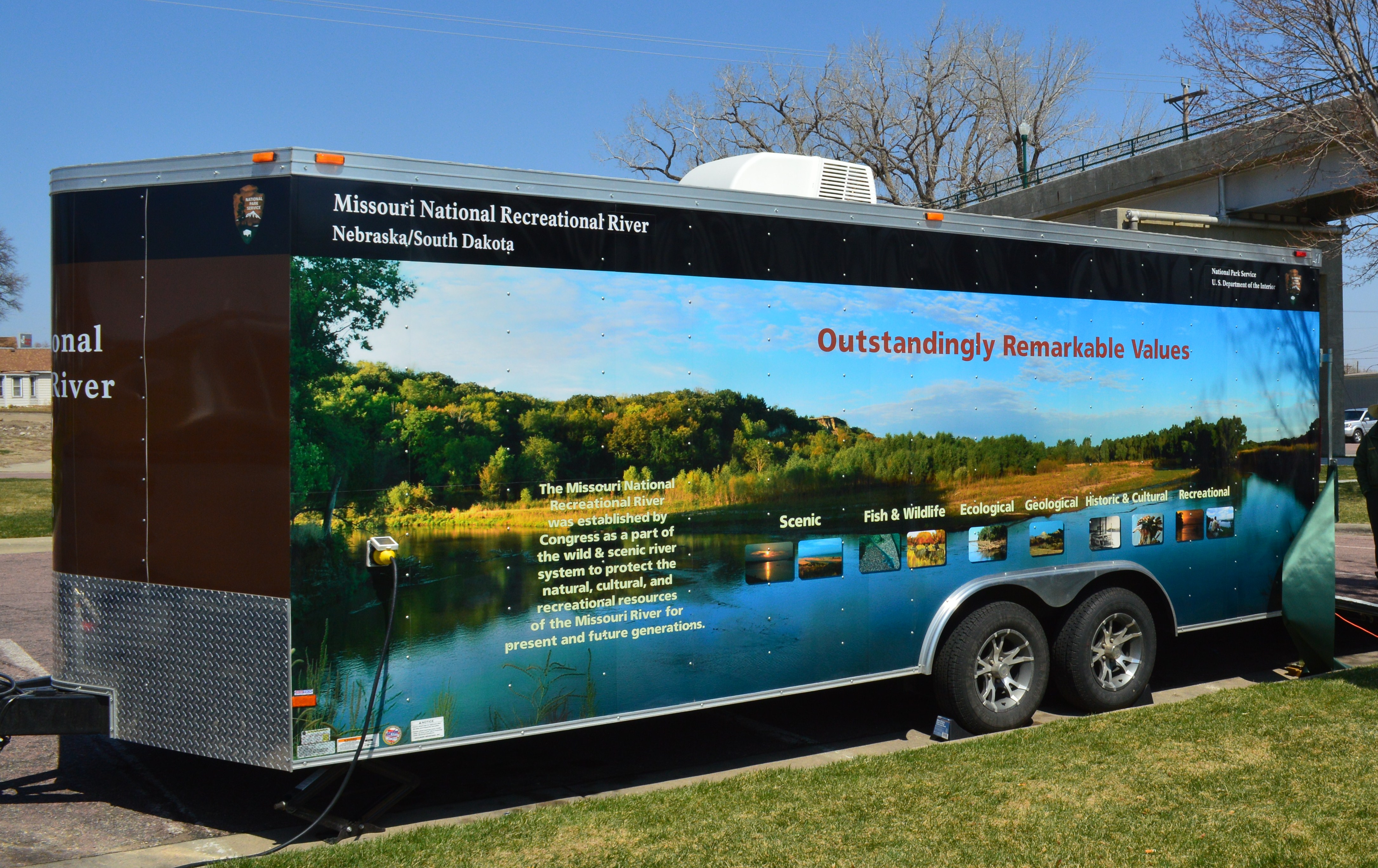
Missouri National Recreational River
National Recreational River · South Dakota, Nebraska
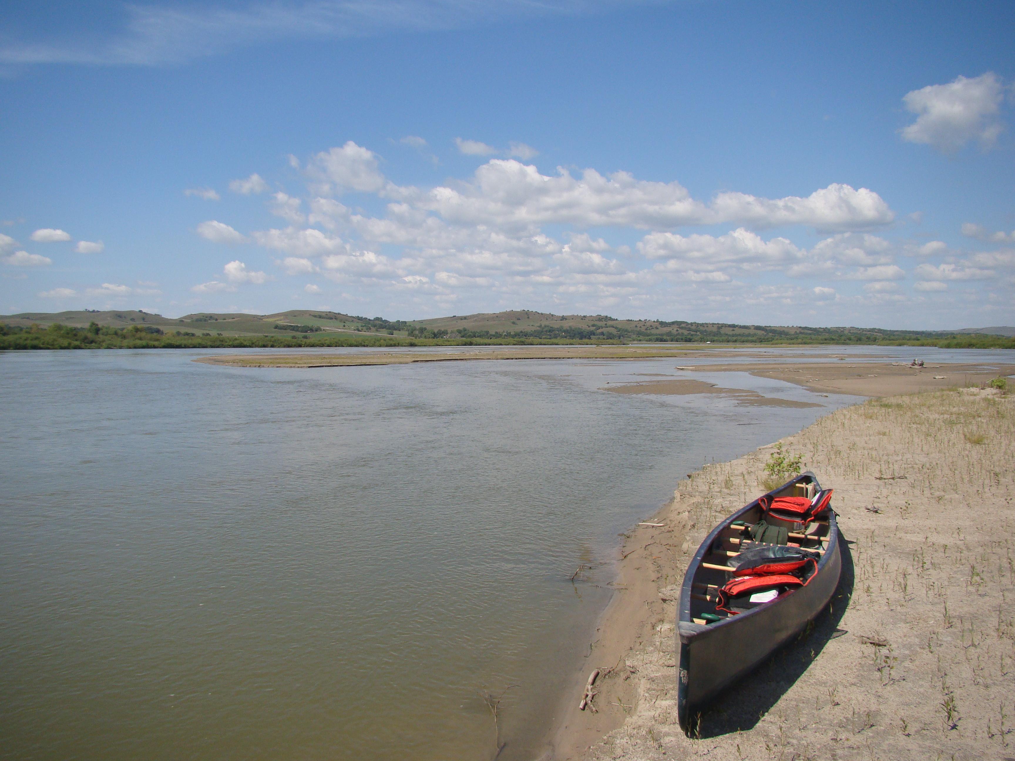
NPS Photo
River in the United States
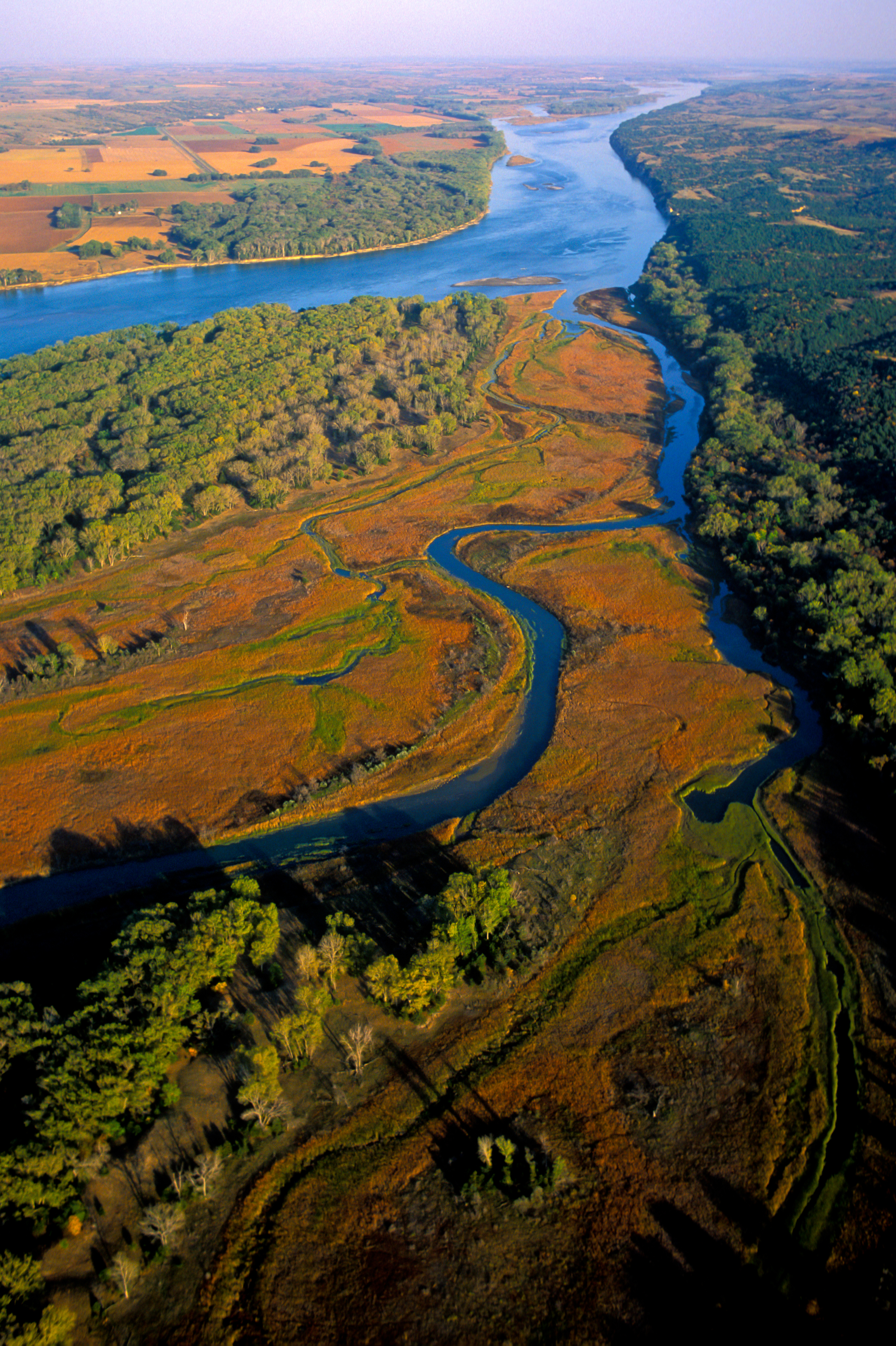
The Missouri National Recreational River is a National Recreational River located on the border between Nebraska and South Dakota. The designation was first applied in 1978 to a 59-mile section of the Missouri River between Gavins Point Dam and Ponca State Park. In 1991, an additional 39-mile section between Fort Randall Dam and Niobrara, Nebraska, was added to the designation. These two stretches of the Missouri River are the only parts of the river between Montana and the mouth of the Missouri that remain undammed or unchannelized. The last 20 miles of the Niobrara River and 6 miles of Verdigre Creek were also added in 1991.
About Missouri National Recreational River
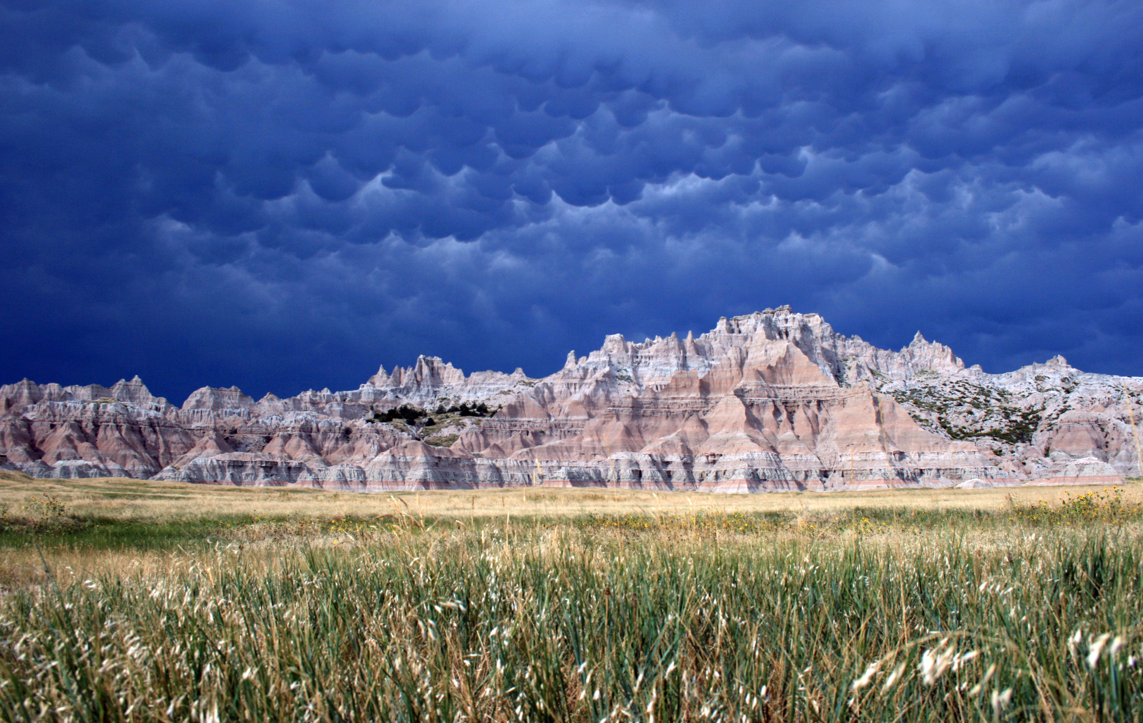
Imagine a 100-mile stretch of North America's longest river, a vestige of the untamed American West. The Missouri National Recreational River is where imagination meets reality. Two free flowing stretches of the Missouri make up the National Park. Relive the past by exploring the wild, untamed and mighty river that continues to flow as nature intended.
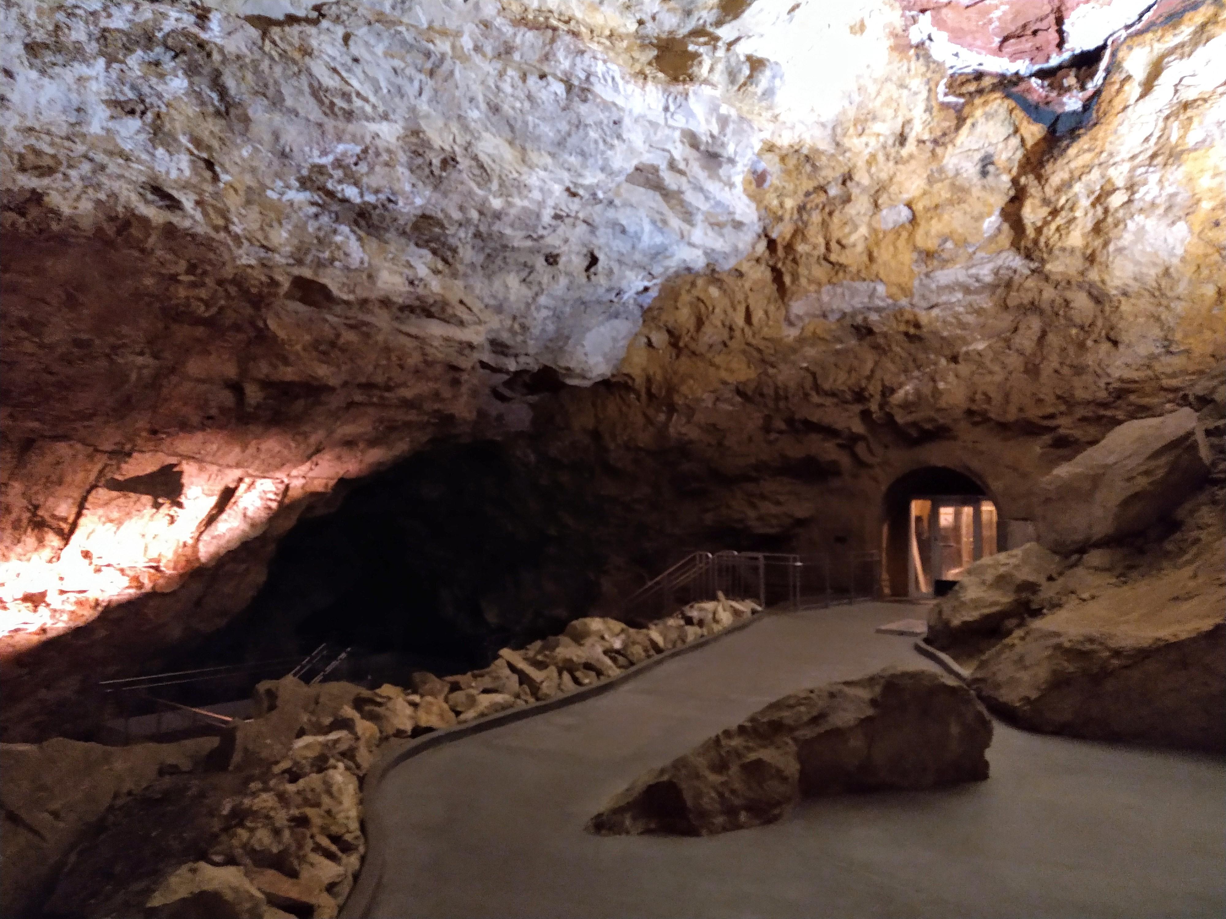
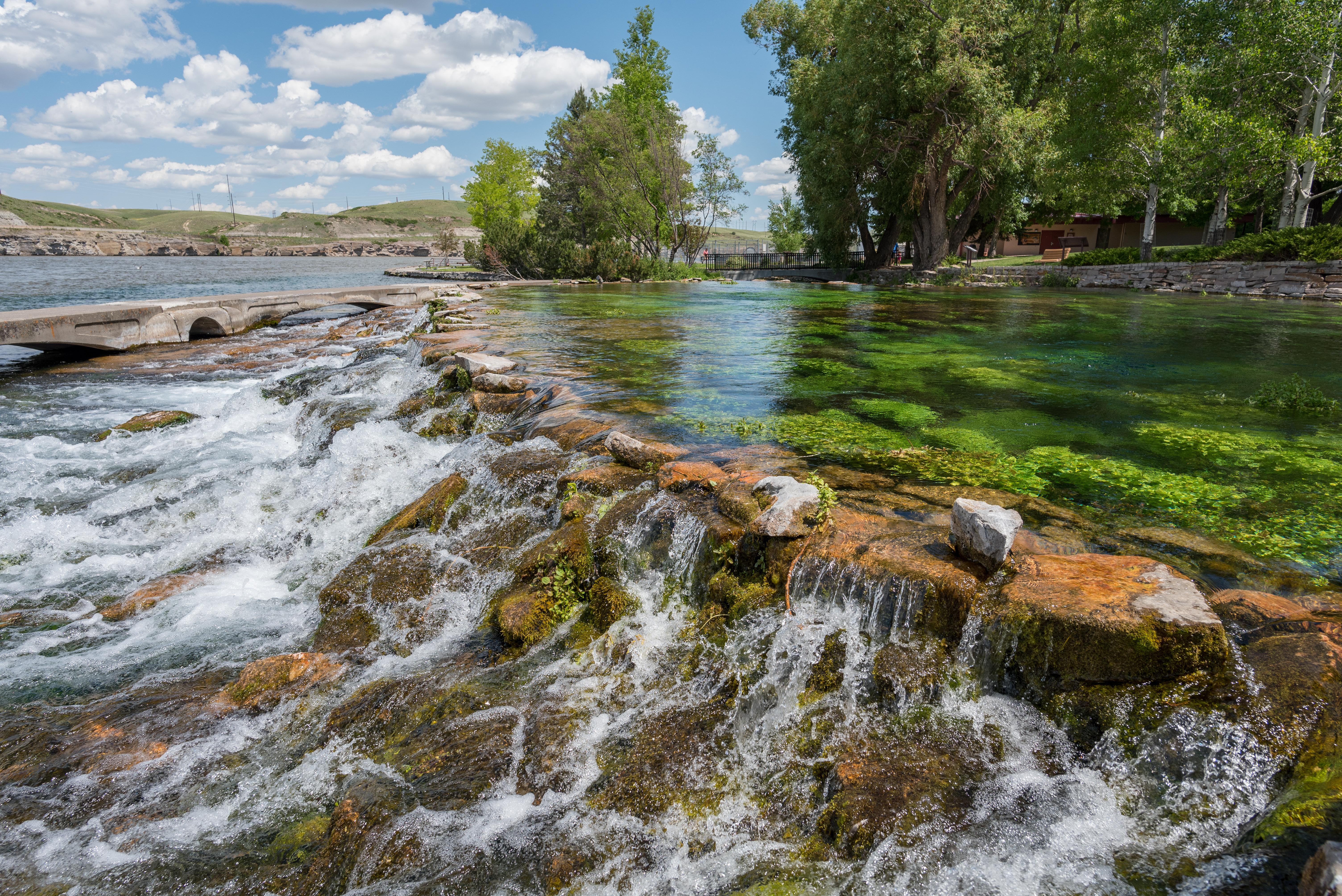
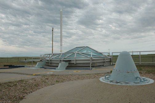
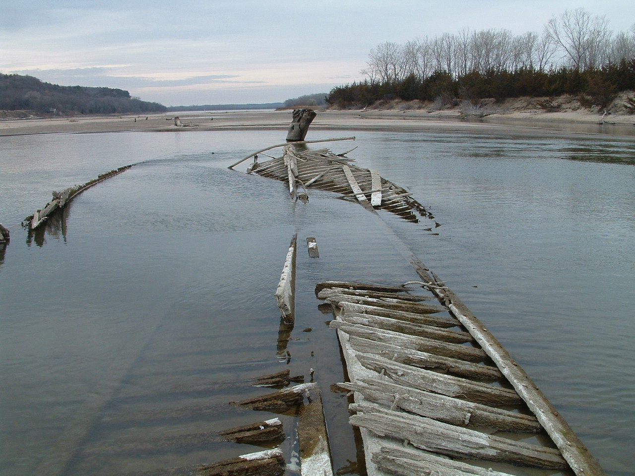
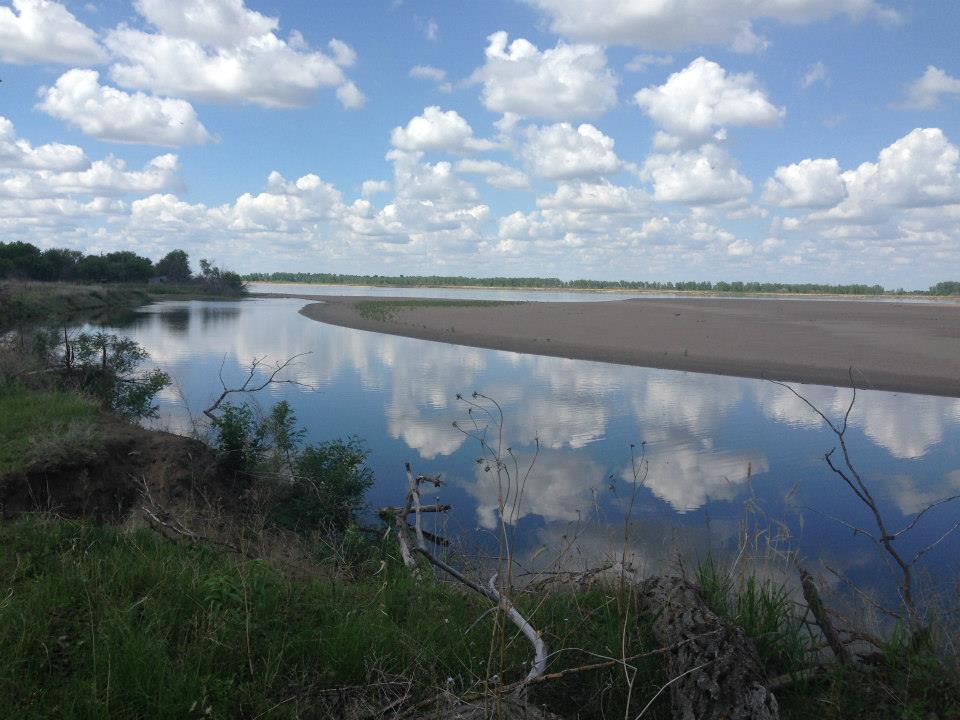
Park Photos
Activities
Operating Hours
Park Hours
The entire park includes the 39-Mile District and 59-Mile District. Both districts are open 24 hours, seven days a week.
| mon | tue | wed | thu | fri | sat | sun |
|---|---|---|---|---|---|---|
| All Day | All Day | All Day | All Day | All Day | All Day | All Day |
Frequently Asked Questions
How much does it cost to enter Missouri National Recreational River?
Missouri National Recreational River is free to enter.
What are the best activities at Missouri National Recreational River?
Popular activities at Missouri National Recreational River include: Auto and ATV, Scenic Driving, Astronomy, Stargazing, Biking, Road Biking, Boating, Camping.
What is the weather like at Missouri National Recreational River?
Rapid weather changes are common along the Missouri National Recreational River corridor. Variations from season to season and from year to year are great. Characteristics of the climate are hot summers and cold winters. Sunshine is abundant, particularly in the summer months. Average annual rainfall is 25 inches. Thunderstorms can be dangerous and visitors should be prepared for them, especially from June until late August. Winter snowfall averages 34 inches annually.
How do I get to Missouri National Recreational River?
The National Park Service headquarters is located at 508 East Second Street in Yankton, South Dakota.
Entrance Fees
Free Admission
Weather
Rapid weather changes are common along the Missouri National Recreational River corridor. Variations from season to season and from year to year are great. Characteristics of the climate are hot summers and cold winters. Sunshine is abundant, particularly in the summer months. Average annual rainfall is 25 inches. Thunderstorms can be dangerous and visitors should be prepared for them, especially from June until late August. Winter snowfall averages 34 inches annually.
Directions
The National Park Service headquarters is located at 508 East Second Street in Yankton, South Dakota.
📍 View on Google Maps →Location
Official Resources
NPS Official WebsiteMore Parks in South Dakota
Other national park sites you might enjoy