Petroglyph National Monument
National Monument · New Mexico
NPS Photo / Daniel Leifheit

United States National Monument and archeological site in New Mexico
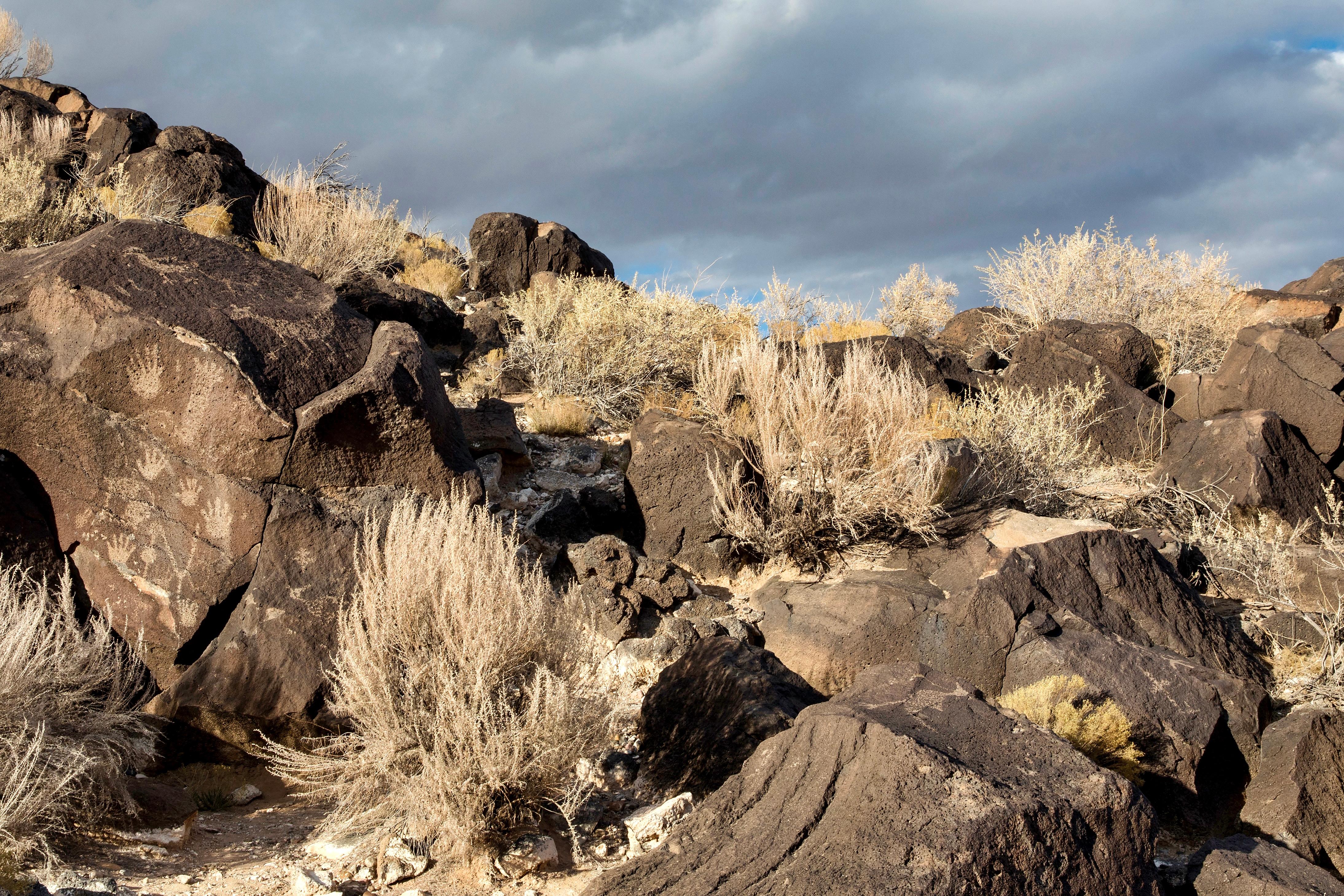
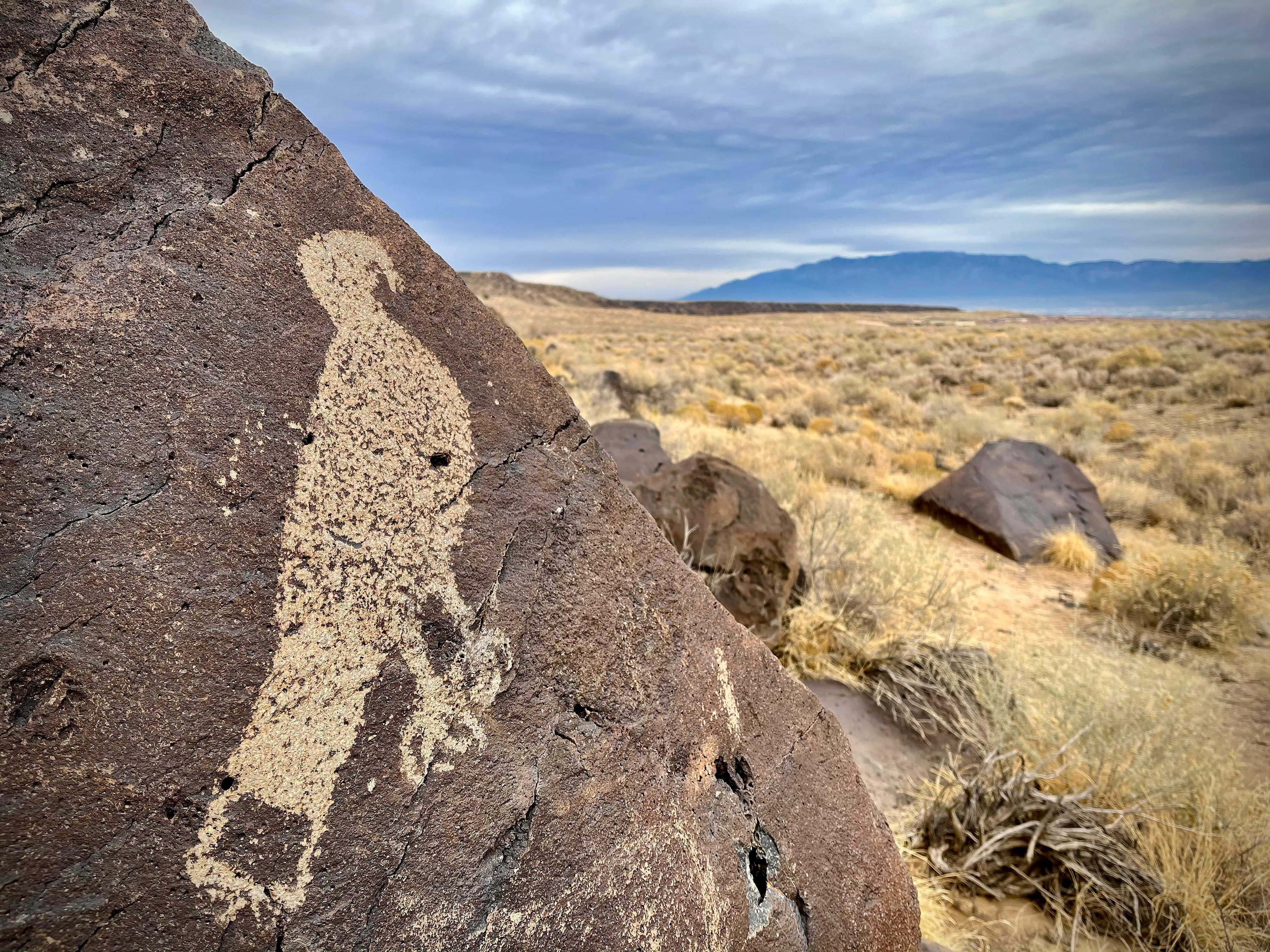
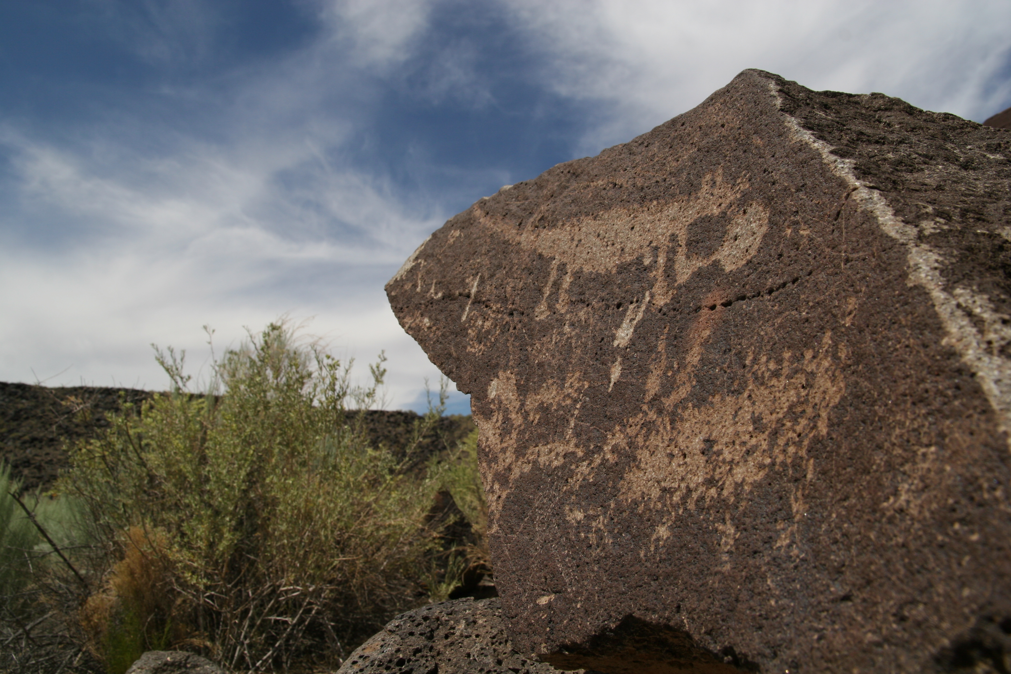
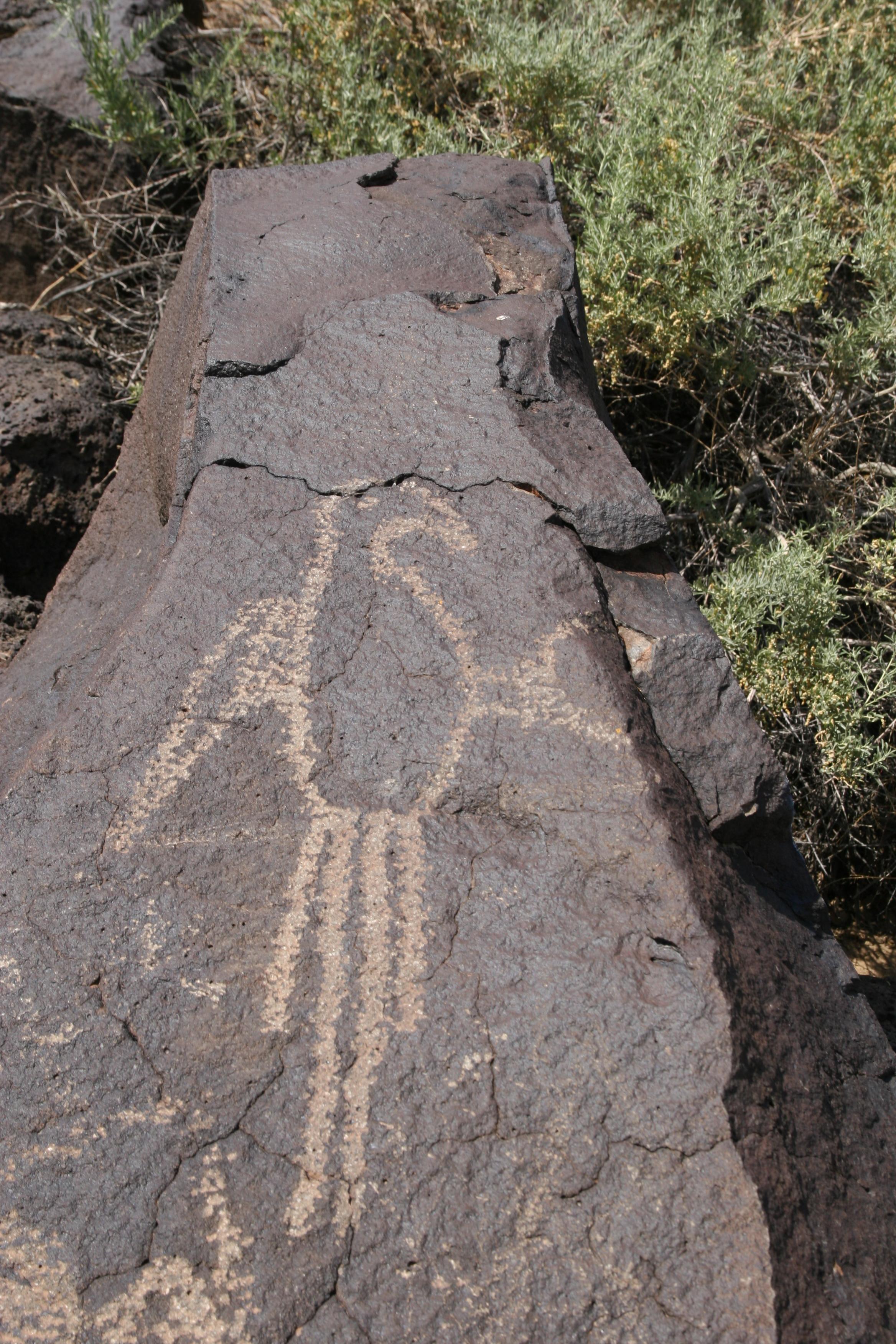
Petroglyph National Monument stretches 17 miles (27 km) along Albuquerque, New Mexico's West Mesa, a volcanic basalt escarpment that dominates the city's western horizon. Authorized June 27, 1990, the 7,236 acres (2,928 ha) monument is cooperatively managed by the National Park Service and the City of Albuquerque. The western boundary of the monument features a chain of dormant fissure volcanoes. Beginning in the northwest corner, Butte volcano is followed to its south by Bond, Vulcan, Black and JA volcanoes.
About Petroglyph National Monument
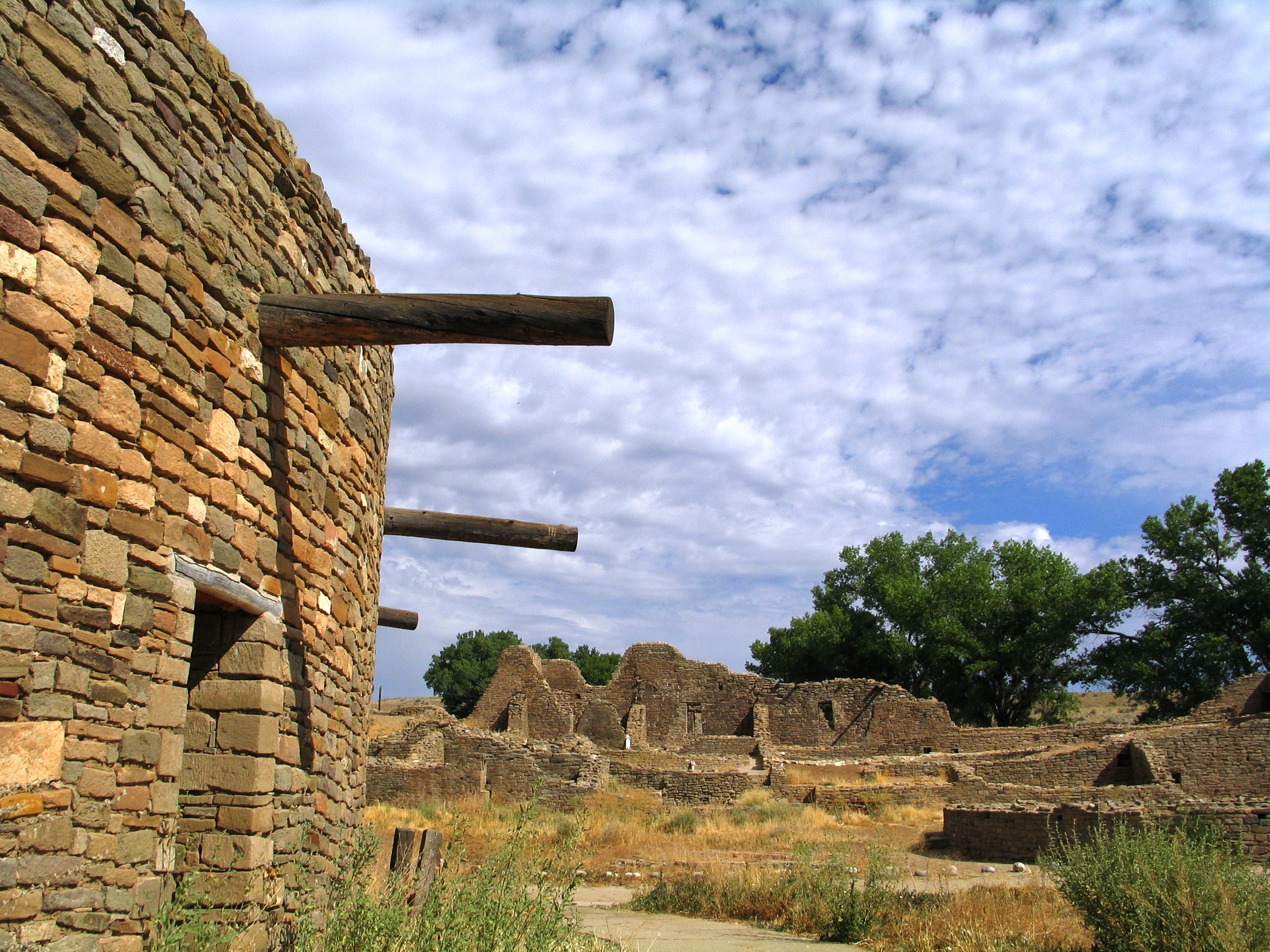
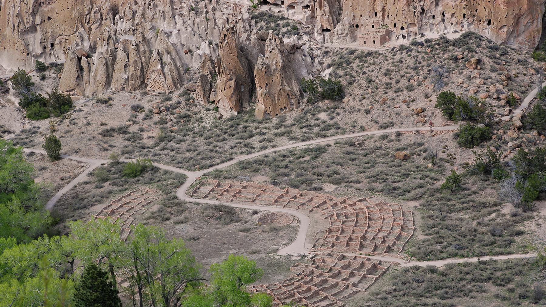
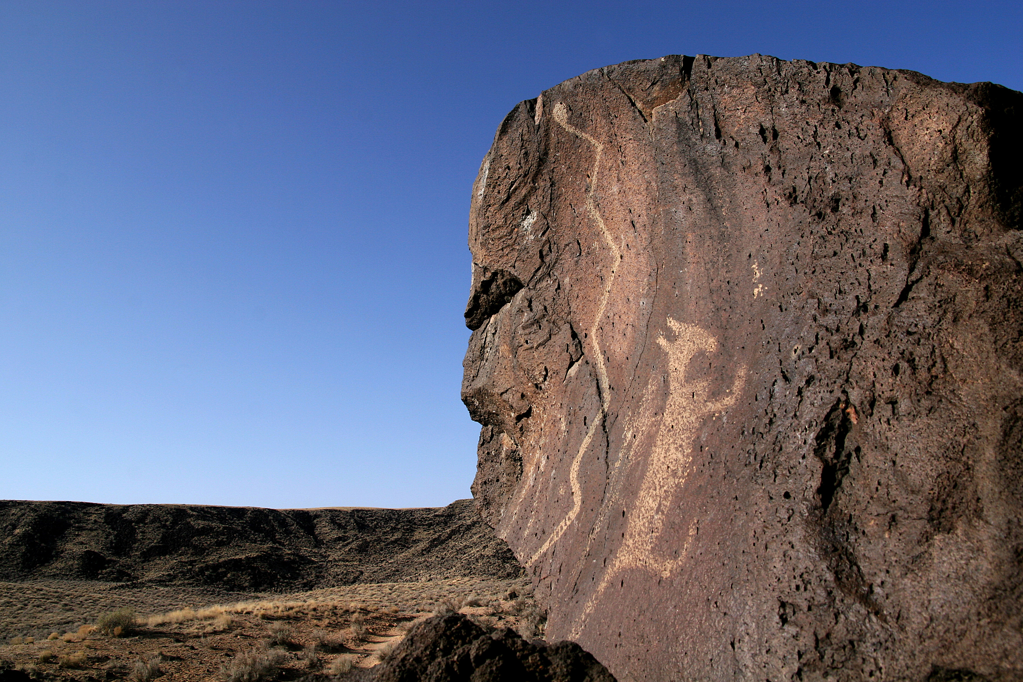
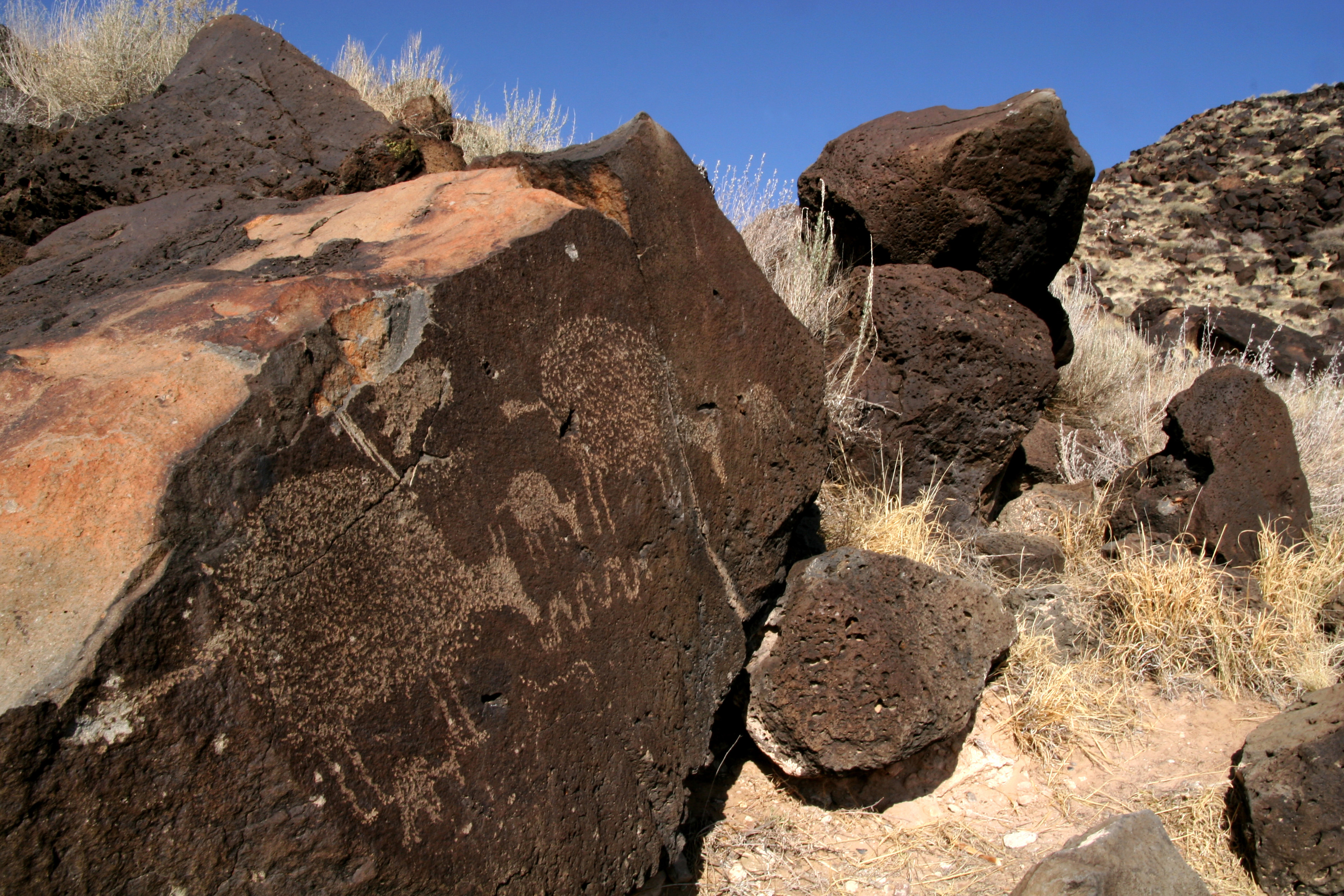
Petroglyph National Monument protects one of the largest petroglyph sites in North America, featuring designs and symbols carved onto volcanic rocks by Native Americans and Spanish settlers 400 to 700 years ago. These images are a valuable record of cultural expression and hold profound spiritual significance for contemporary Native Americans and for the descendants of the early Spanish settlers.
Park Photos
Activities
Operating Hours
Boca Negra Canyon
Staffed by our partner, the City of Albuquerque Open Space, this developed trail system consists of 3 short, paved trails with trail markers. Full-service restroom facility, picnic tables, shaded seating areas and a shaded patio area. See up to 100 petroglyphs in one hour if you walk all 3 trails. Last entry is at 4:00 pm daily and all visitors are swept out at 4:30 pm sharp. Pets not allowed on the petroglyph viewing trails. Trails are not accessible for wheelchairs or strollers.
| mon | tue | wed | thu | fri | sat | sun |
|---|---|---|---|---|---|---|
| 8:30AM - 4:30PM | 8:30AM - 4:30PM | 8:30AM - 4:30PM | 8:30AM - 4:30PM | 8:30AM - 4:30PM | 8:30AM - 4:30PM | 8:30AM - 4:30PM |
Rinconada Canyon
An undeveloped trail system, no water or services are provided. A 2.2-mile round trip trail where up to 300 petroglyphs can be viewed, especially in the back of the canyon. The natural earth surface trail is easy to moderate to walk. Picnic tables are located in the parking lot. A vault toilet is available. No water. Open for hiking on holidays. After hours parking is available outside of the gated parking lot. Lock your vehicle, secure your valuables, do not leave any items visible. Leashed pets allowed.
| mon | tue | wed | thu | fri | sat | sun |
|---|---|---|---|---|---|---|
| 8:00AM - 5:00PM | 8:00AM - 5:00PM | 8:00AM - 5:00PM | 8:00AM - 5:00PM | 8:00AM - 5:00PM | 8:00AM - 5:00PM | 8:00AM - 5:00PM |
Piedras Marcadas Canyon
Nestled in the northernmost tip of the monument, this undeveloped trail system is a 6.5-mile drive from the information center. The petroglyph viewing trail is 1.5 miles in and out. No water, no restroom, no amenities available. See up to 400 petroglyphs. Leashed pets allowed, pick-up waste & put in trash can. The non-gated parking lot is located off Golf Course Rd. at Jill Patricia St. (behind the Valvoline Motor Oil station, use Google maps). Stop by the information center for a free trail guide.
| mon | tue | wed | thu | fri | sat | sun |
|---|---|---|---|---|---|---|
| Sunrise to Sunset | Sunrise to Sunset | Sunrise to Sunset | Sunrise to Sunset | Sunrise to Sunset | Sunrise to Sunset | Sunrise to Sunset |
Volcanoes Day Use Area
No petroglyph viewing available. One to four miles of hiking trails lead you to the scenic overlook or around the bases of the cinder cones. Hiking to the tops of cones is prohibited. No water available. Vault restroom, benches, and trash cans available. Leashed pets allowed. Owners must pick-up waste & place in trash can. Parking lot is located off Atrisco Vista Blvd. (I-40 exit #149) approximately 4.7 miles north of Interstate 40. Stop by the information center for a free trail guide.
| mon | tue | wed | thu | fri | sat | sun |
|---|---|---|---|---|---|---|
| 9:00AM - 5:00PM | 9:00AM - 5:00PM | 9:00AM - 5:00PM | 9:00AM - 5:00PM | 9:00AM - 5:00PM | 9:00AM - 5:00PM | 9:00AM - 5:00PM |
Frequently Asked Questions
How much does it cost to enter Petroglyph National Monument?
Petroglyph National Monument is free to enter.
What are the best activities at Petroglyph National Monument?
Popular activities at Petroglyph National Monument include: Hiking, Front-Country Hiking, Junior Ranger Program, Wildlife Watching, Birdwatching, Park Film, Shopping, Bookstore and Park Store.
What is the weather like at Petroglyph National Monument?
Altitude approx. 5000 ft. Usually sunny and dry, with low relative humidity. Winter temperatures range from 40 to 50 degrees F. Summer temperatures range from 88-99 degrees F. 278 days of sunshine per year. Spring can be windy with 20 to 30 mph sustained winds which can produce periods of blowing sand and dust. For current weather forecast, Google Albuquerque weather.
How do I get to Petroglyph National Monument?
GPS: Lat: 35.139 Long: -106.711 From Interstate 40, take the Unser Blvd. exit (#154) proceed north 3 miles to Western Trail. Turn left or west onto Western Trail and follow road to the Visitor Information Center parking lot. From Interstate 25, take the Paseo del Norte exit (#232) and proceed west to Coors Road exit south (must be in center lane to veer left at the Y). Proceed south on Coors Road to Western Trail. Turn right or west onto Western Trail and follow road to the Visitor Info Center parking lot.
Entrance Fees
Free Admission
Weather
Altitude approx. 5000 ft. Usually sunny and dry, with low relative humidity. Winter temperatures range from 40 to 50 degrees F. Summer temperatures range from 88-99 degrees F. 278 days of sunshine per year. Spring can be windy with 20 to 30 mph sustained winds which can produce periods of blowing sand and dust. For current weather forecast, Google Albuquerque weather.
Directions
GPS: Lat: 35.139 Long: -106.711 From Interstate 40, take the Unser Blvd. exit (#154) proceed north 3 miles to Western Trail. Turn left or west onto Western Trail and follow road to the Visitor Information Center parking lot. From Interstate 25, take the Paseo del Norte exit (#232) and proceed west to Coors Road exit south (must be in center lane to veer left at the Y). Proceed south on Coors Road to Western Trail. Turn right or west onto Western Trail and follow road to the Visitor Info Center parking lot.
📍 View on Google Maps →Location
Official Resources
NPS Official WebsiteMore Parks in New Mexico
Other national park sites you might enjoy