Saint Croix National Scenic Riverway
National Scenic Riverway · Wisconsin, Minnesota
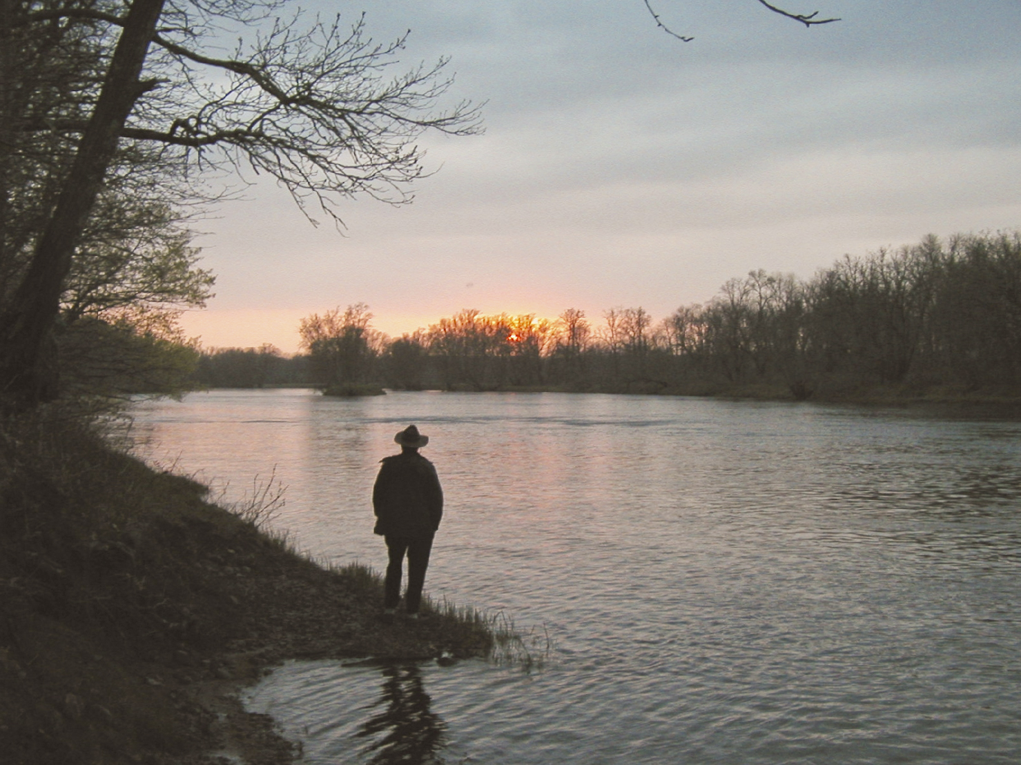
NPS / Pete Wintersteen

250 miles of riverways in Wisconsin (US) managed by the National Park Service
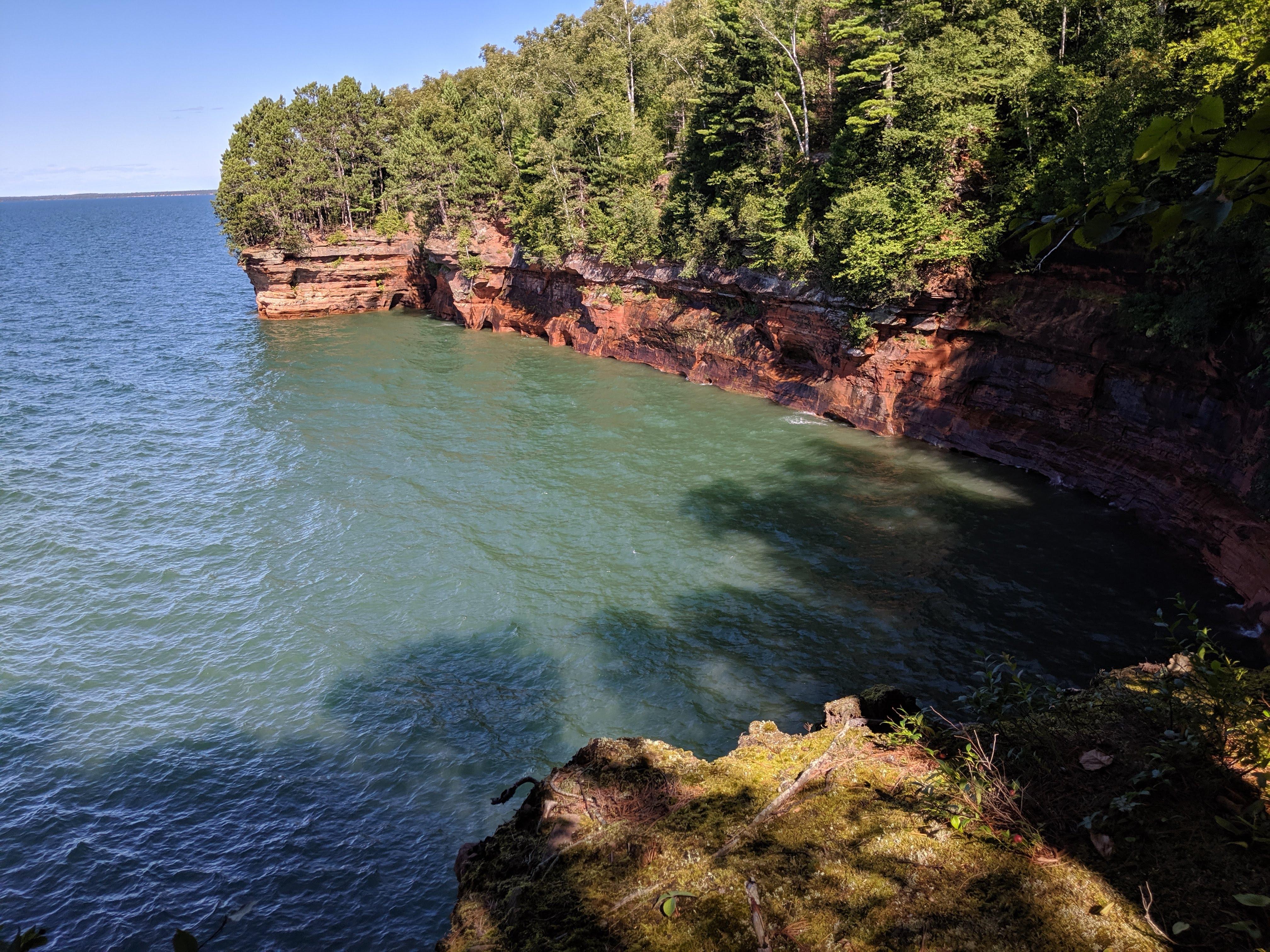
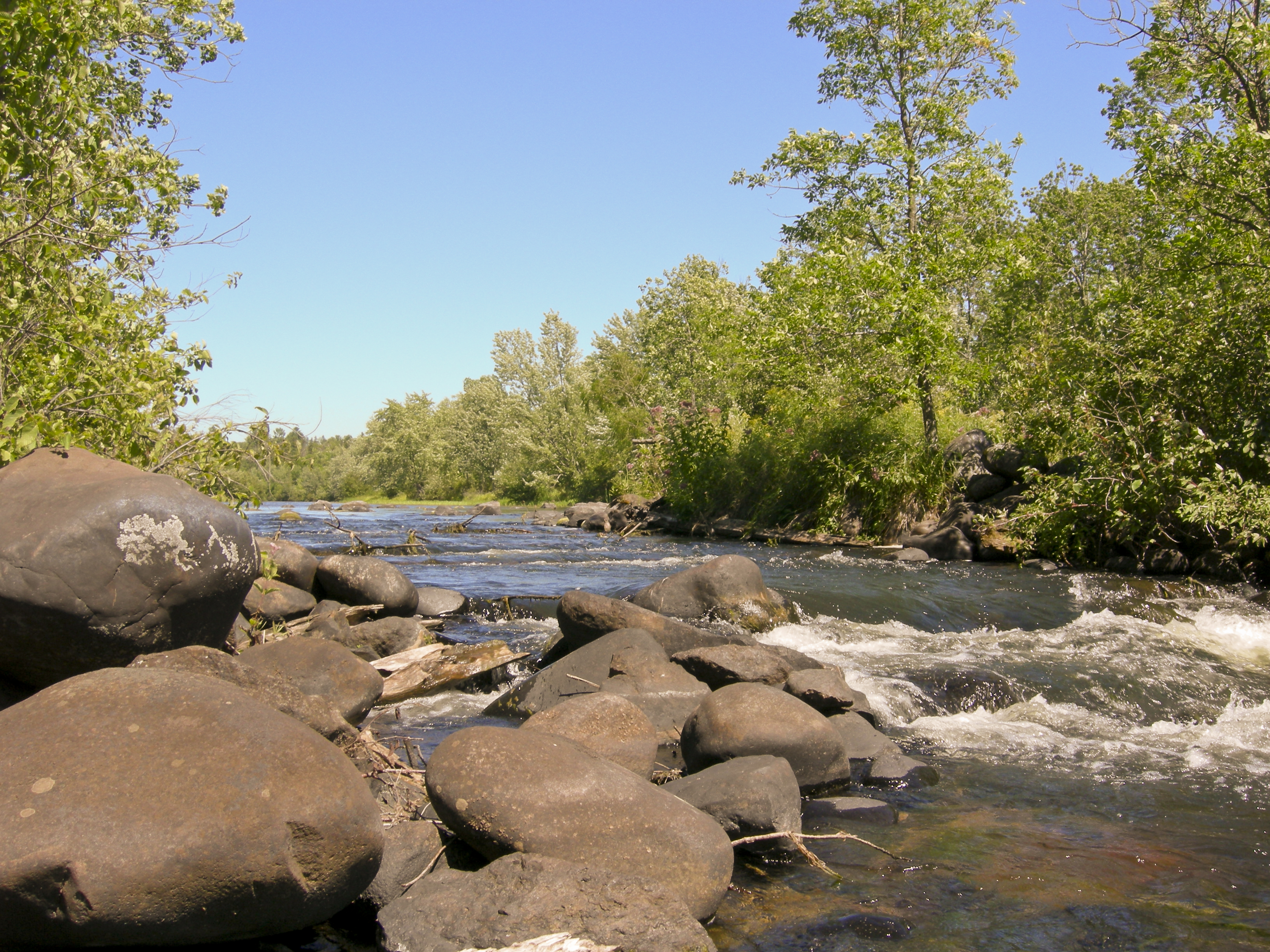
The Saint Croix National Scenic Riverway is a federally protected system of riverways located in eastern Minnesota and northwestern Wisconsin. It protects 252 miles (406 km) of river, including the St. Croix River, and the Namekagon River, as well as adjacent land along the rivers. The St. Croix National Scenic Riverway is one of the original eight National Wild and Scenic Rivers, largely as a result of legislation by senators Walter Mondale of Minnesota and Gaylord Nelson of Wisconsin. The largest scenic riverway east of the Mississippi River, it lies within parts of eight counties in Wisconsin: Bayfield, Burnett, Douglas, Pierce, Polk, St. Croix, Sawyer, and Washburn; and three in Minnesota: Chisago, Pine, and Washington.
About Saint Croix National Scenic Riverway
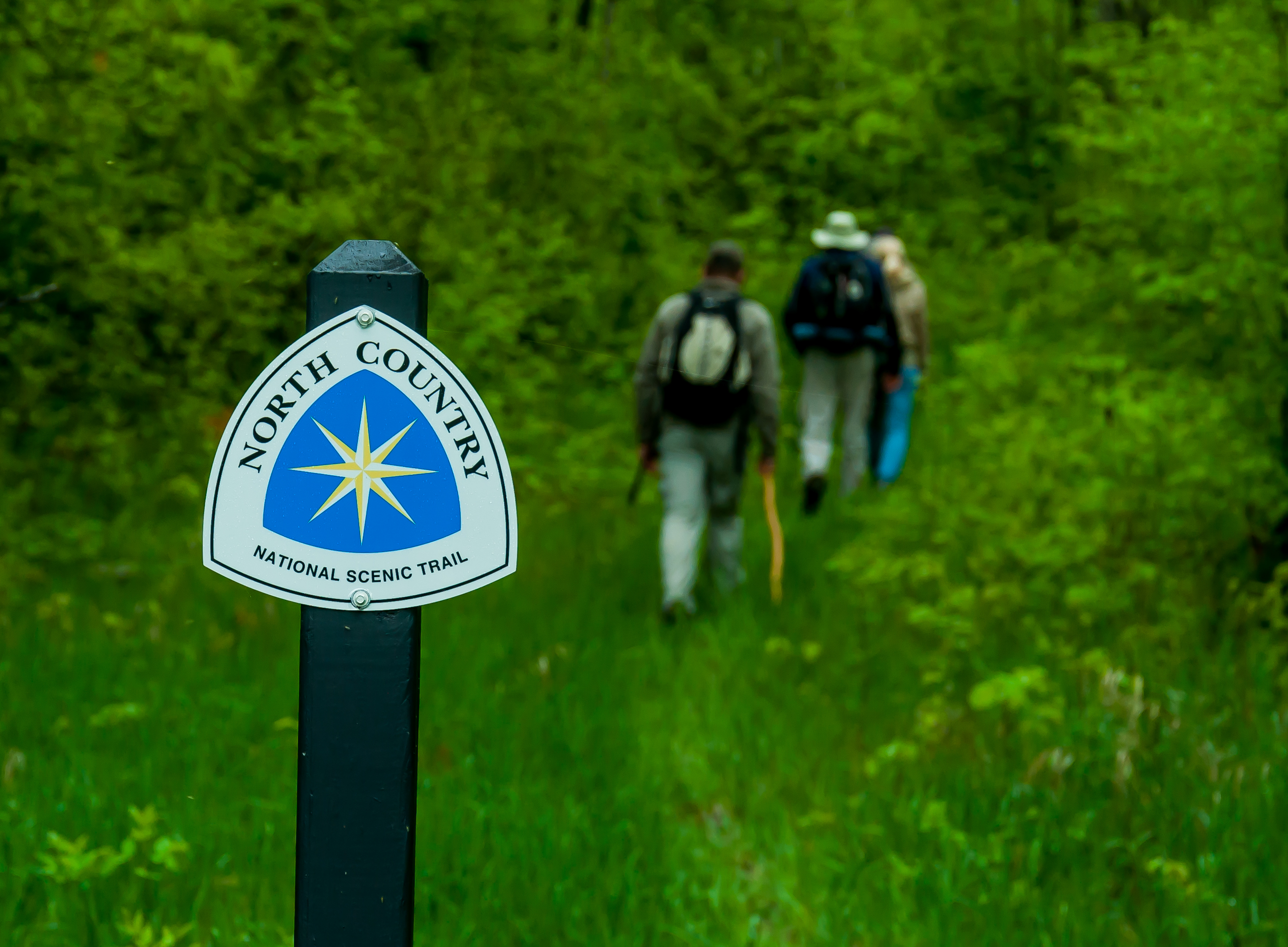
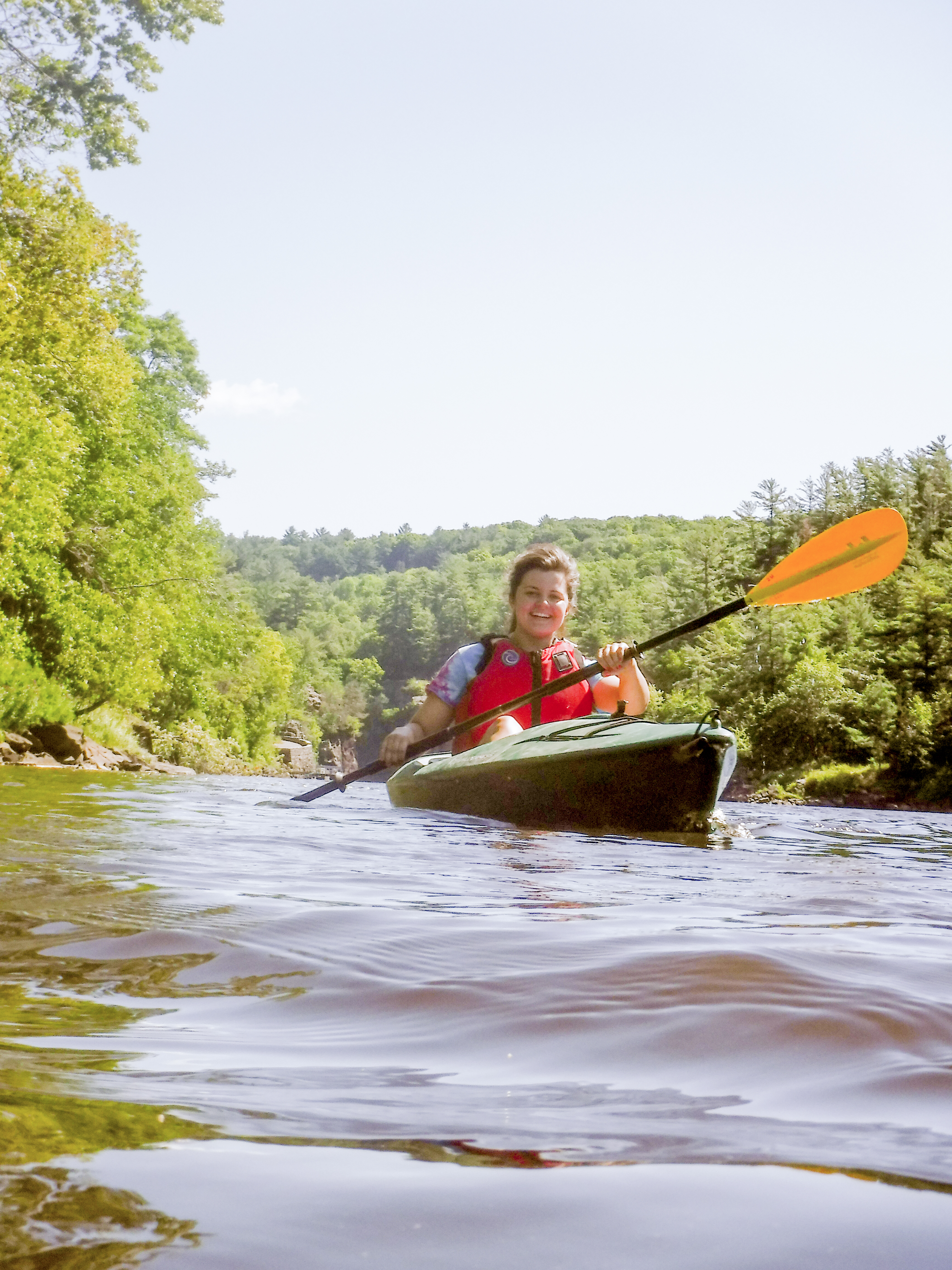
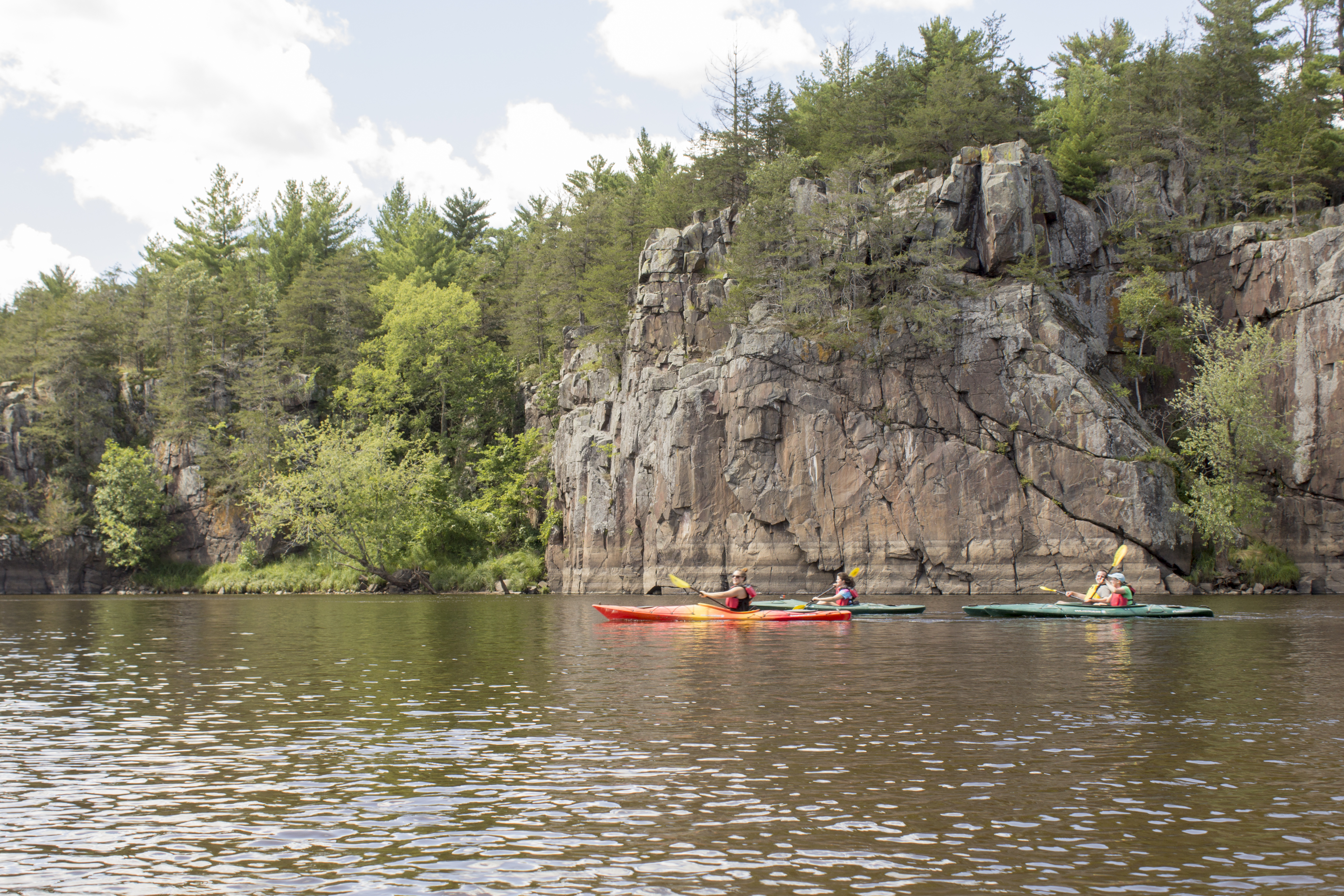
Grab your paddle and your longing for adventure and head to the St. Croix and Namekagon rivers! Together they form the St. Croix National Scenic Riverway, offering over 200 miles of clean water that glides and rushes through a forested landscape. Paddle, boat, fish, and camp among this wild and scenic beauty. Hiking and historic towns also beckon.
Park Photos
Activities
Operating Hours
St. Croix National Scenic Riverway
The St. Croix and Namekagon rivers are open all-day, year-round except for periods of dangerous water conditions. Access to landings and trails is seasonal.
| mon | tue | wed | thu | fri | sat | sun |
|---|---|---|---|---|---|---|
| All Day | All Day | All Day | All Day | All Day | All Day | All Day |
Frequently Asked Questions
How much does it cost to enter Saint Croix National Scenic Riverway?
Saint Croix National Scenic Riverway is free to enter.
What are the best activities at Saint Croix National Scenic Riverway?
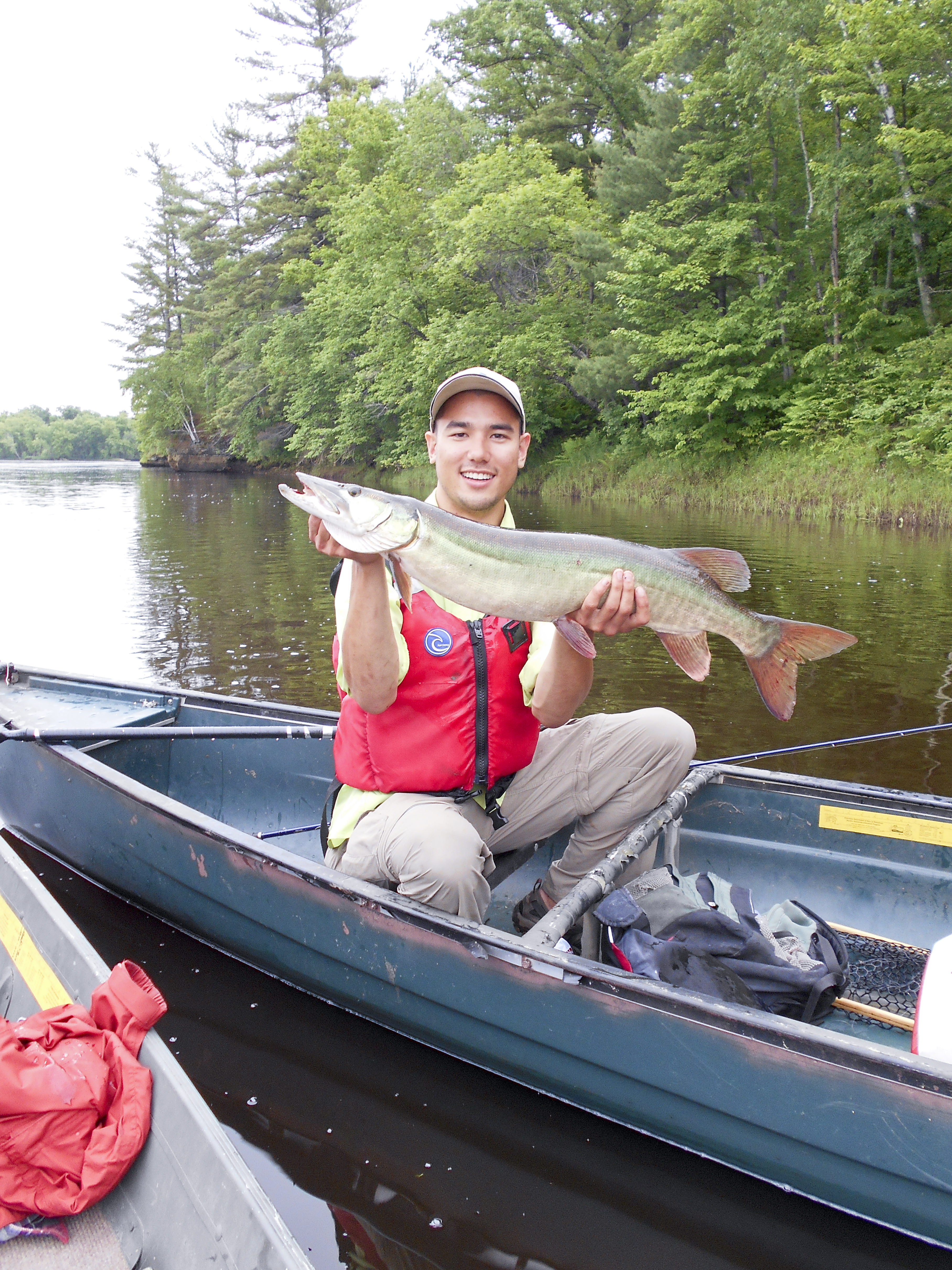
Popular activities at Saint Croix National Scenic Riverway include: Boating, Motorized Boating, Camping, Canoe or Kayak Camping, Fishing, Freshwater Fishing, Fly Fishing, Hands-On.
What is the weather like at Saint Croix National Scenic Riverway?
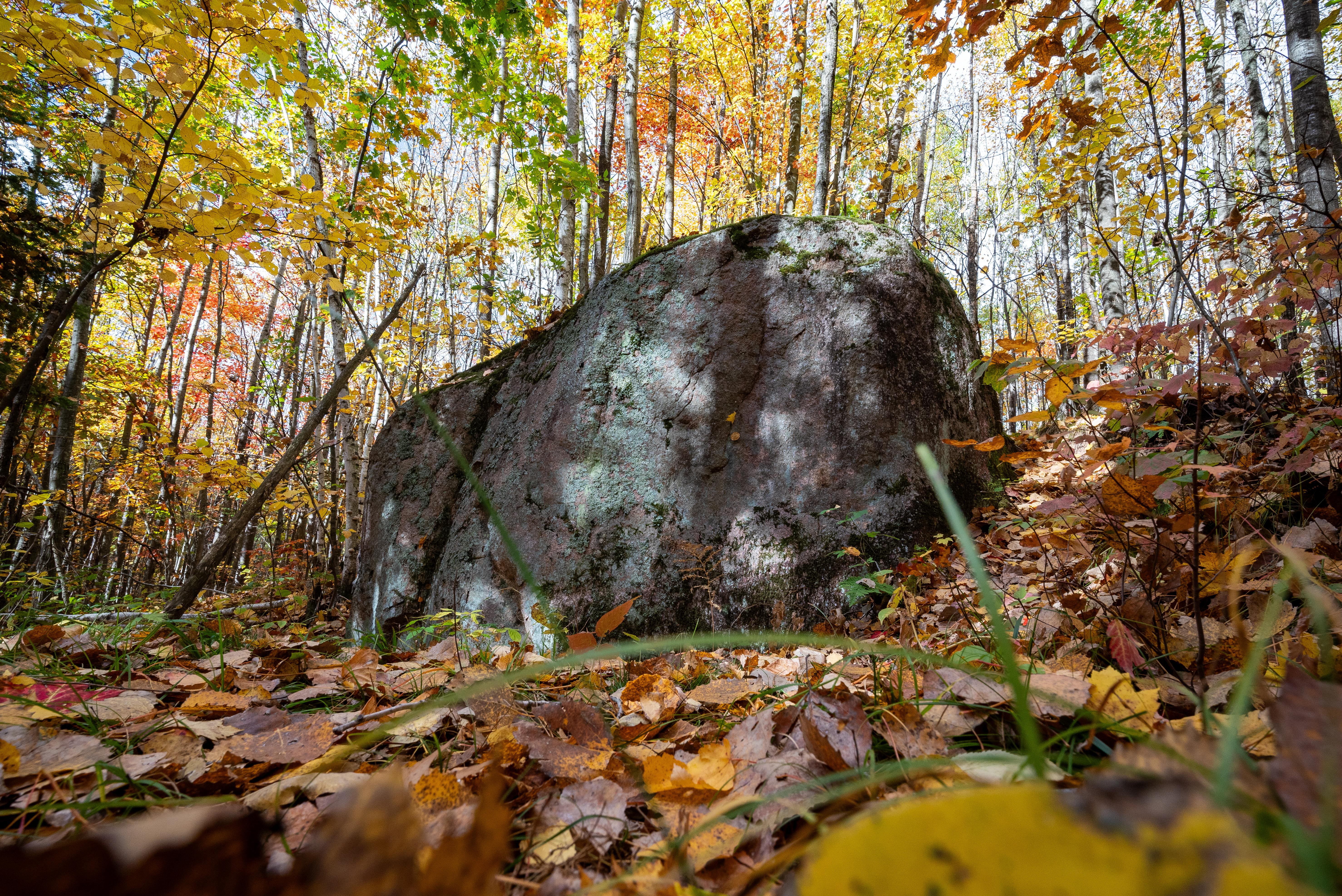
Access to the Riverway is year-round. Early spring temperatures can reach into the 40's resulting in high, fast, and cold water from melting snow and ice. Summers are warm and humid. Severe weather can be experienced anytime from mid-spring through late summer. Fall colors begin in late September with high temperatures averaging in the 60's. Winter can set in early with high temperatures in the teens, lows falling below zero, and occasional heavy snow. The rivers can begin to freeze over by early December.
How do I get to Saint Croix National Scenic Riverway?
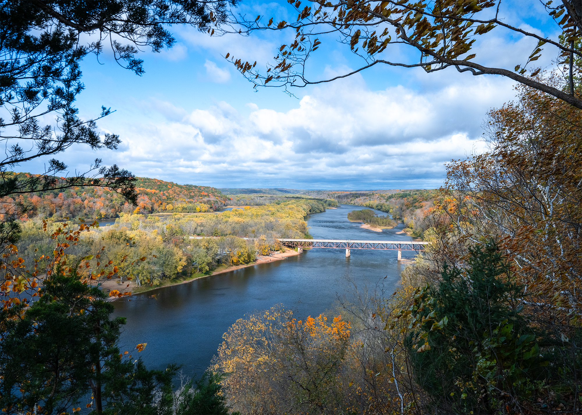
The St. Croix National Scenic Riverway stretches for over 200 miles in northwest Wisconsin and east-central Minnesota. The Namekagon River flows entirely in Wisconsin while the St. Croix River serves as a border between the two states for much of its length. With many different access points there are numerous opportunities for day trips as well as multi-day paddling adventures. Visitor centers are located on the Namekagon River in Trego, Wisconsin, and on the St. Croix River in St. Croix Falls, Wisconsin.
Entrance Fees
Free Admission
Weather
Access to the Riverway is year-round. Early spring temperatures can reach into the 40's resulting in high, fast, and cold water from melting snow and ice. Summers are warm and humid. Severe weather can be experienced anytime from mid-spring through late summer. Fall colors begin in late September with high temperatures averaging in the 60's. Winter can set in early with high temperatures in the teens, lows falling below zero, and occasional heavy snow. The rivers can begin to freeze over by early December.
Directions
The St. Croix National Scenic Riverway stretches for over 200 miles in northwest Wisconsin and east-central Minnesota. The Namekagon River flows entirely in Wisconsin while the St. Croix River serves as a border between the two states for much of its length. With many different access points there are numerous opportunities for day trips as well as multi-day paddling adventures. Visitor centers are located on the Namekagon River in Trego, Wisconsin, and on the St. Croix River in St. Croix Falls, Wisconsin.
📍 View on Google Maps →Location
Official Resources
NPS Official WebsiteMore Parks in Wisconsin
Other national park sites you might enjoy