Yukon - Charley Rivers National Preserve
National Preserve · Alaska
NPS Photo / Josh Spice

United States national preserve in Alaska
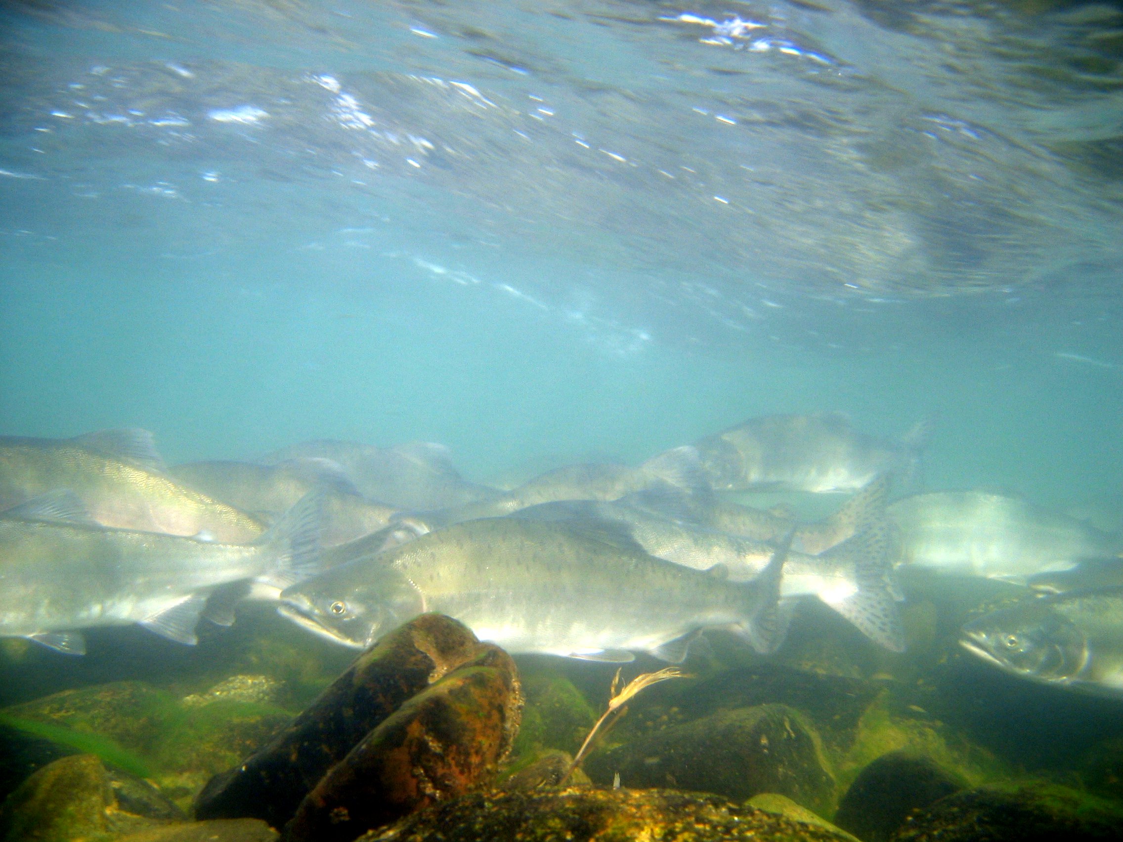
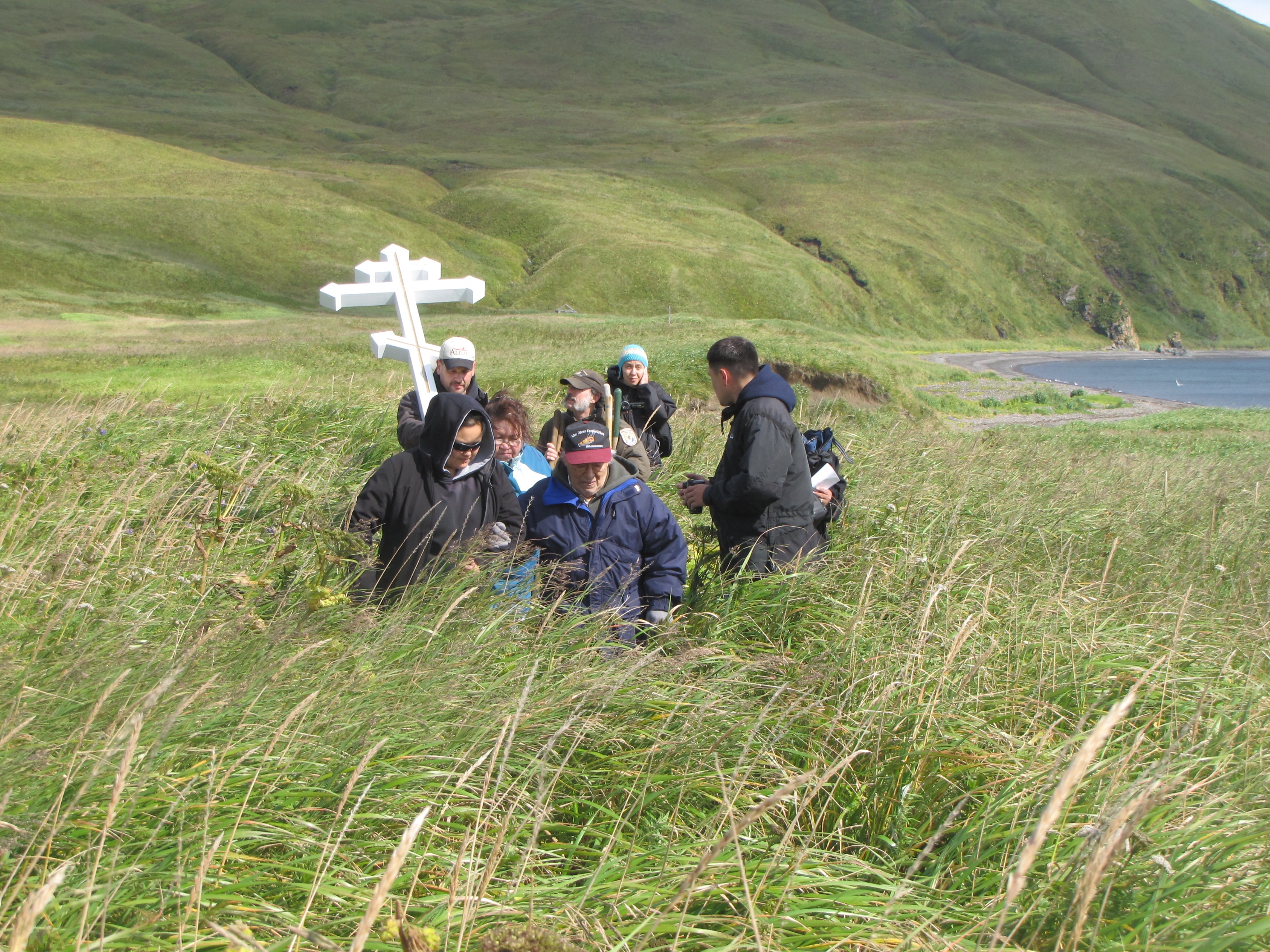
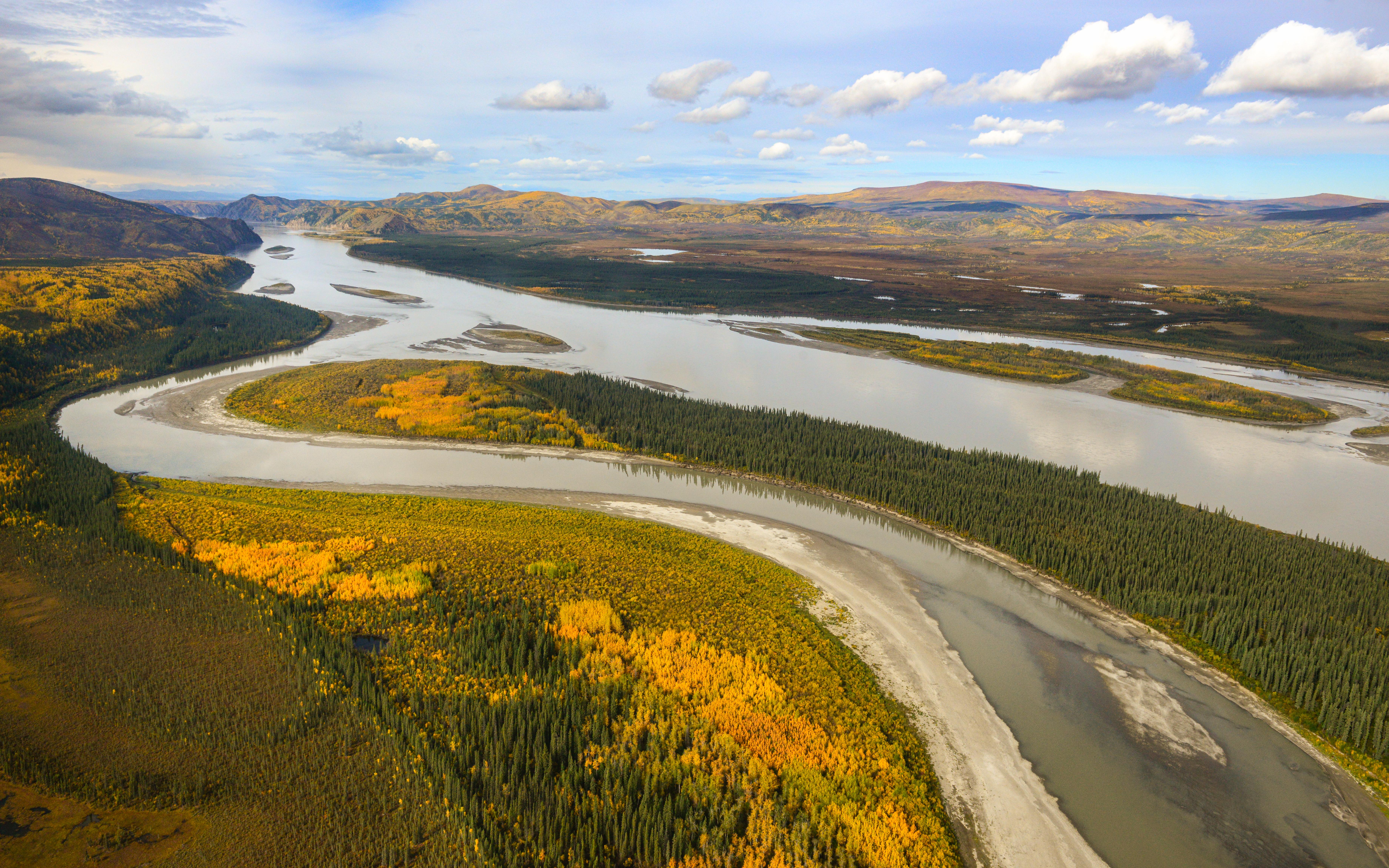
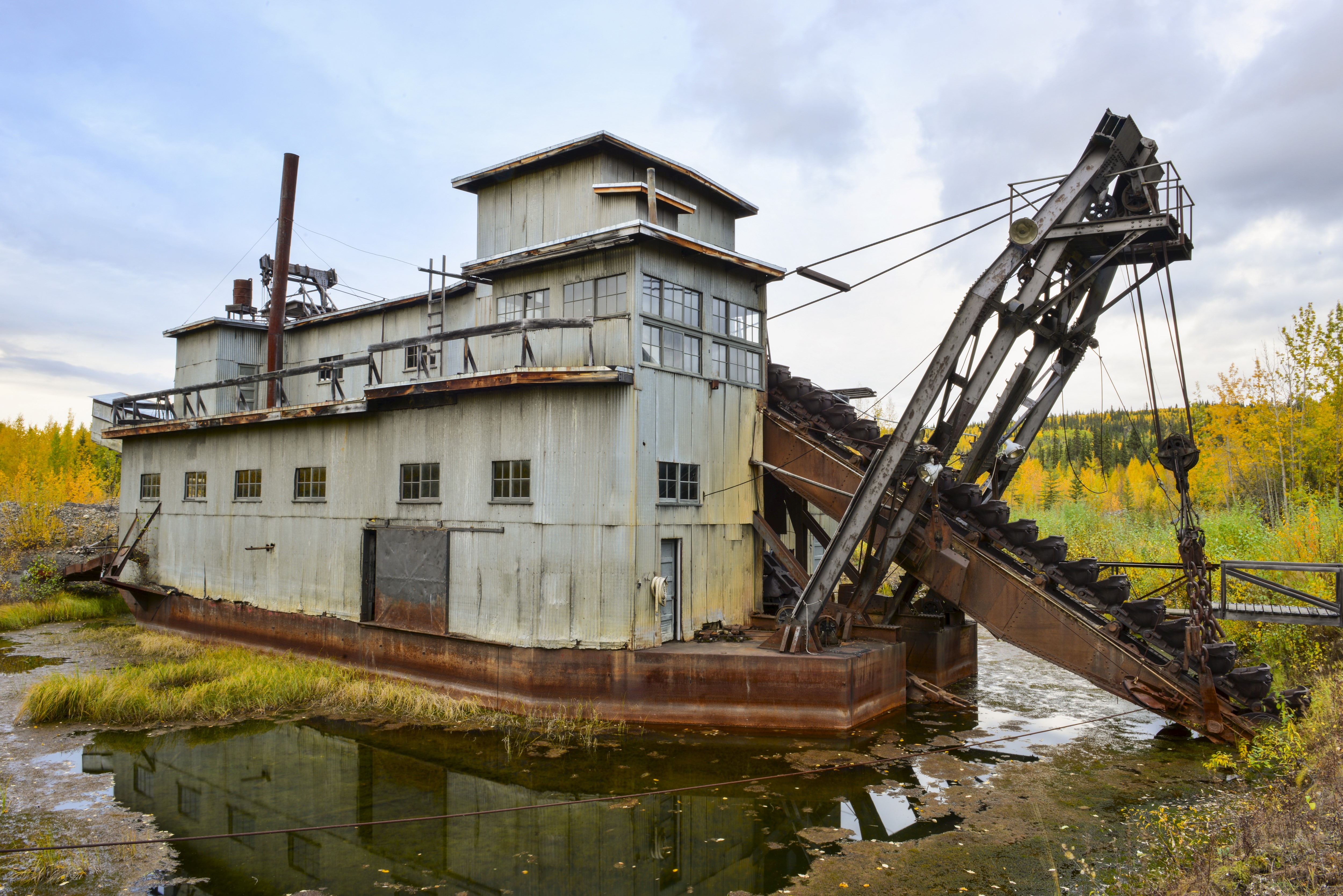
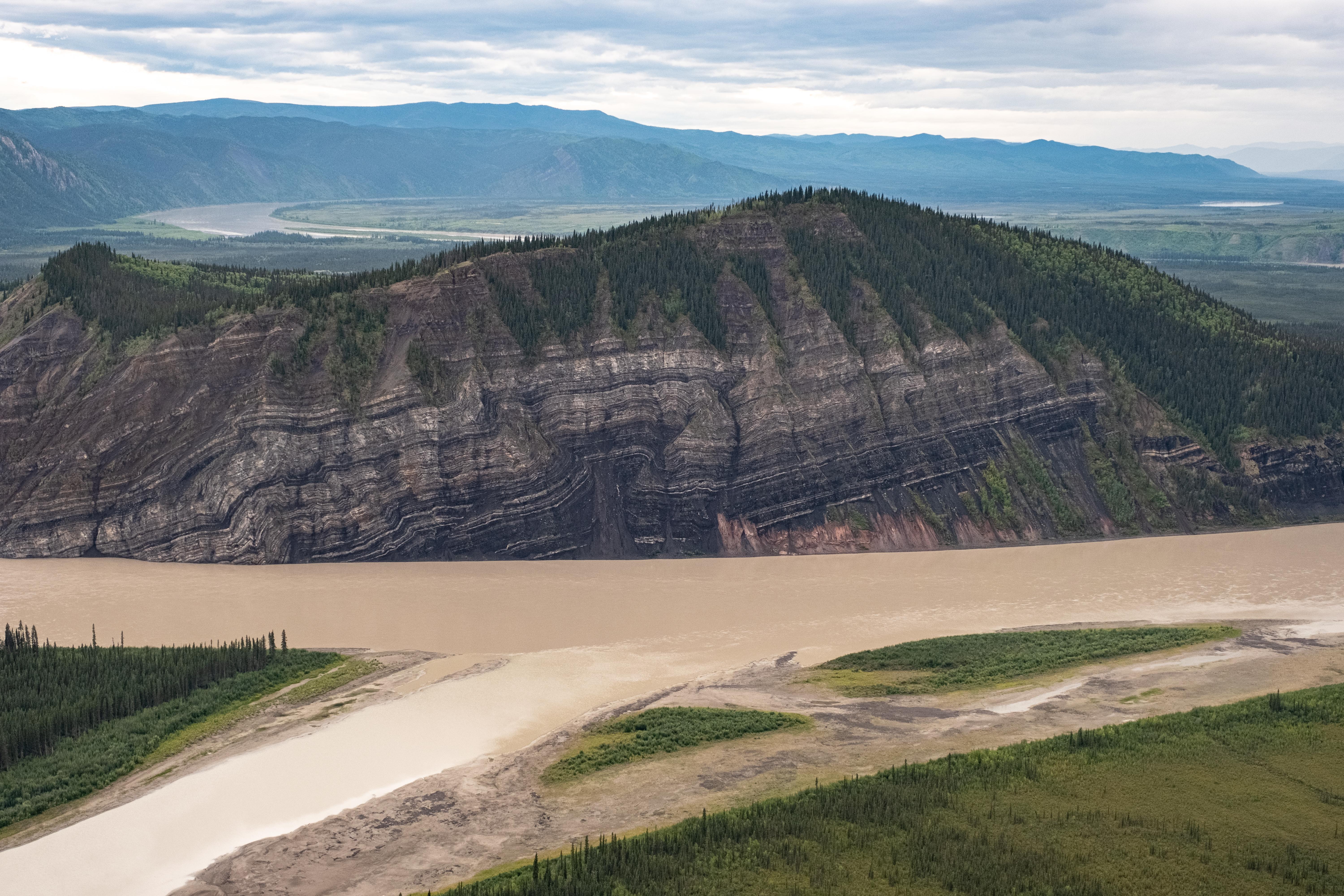
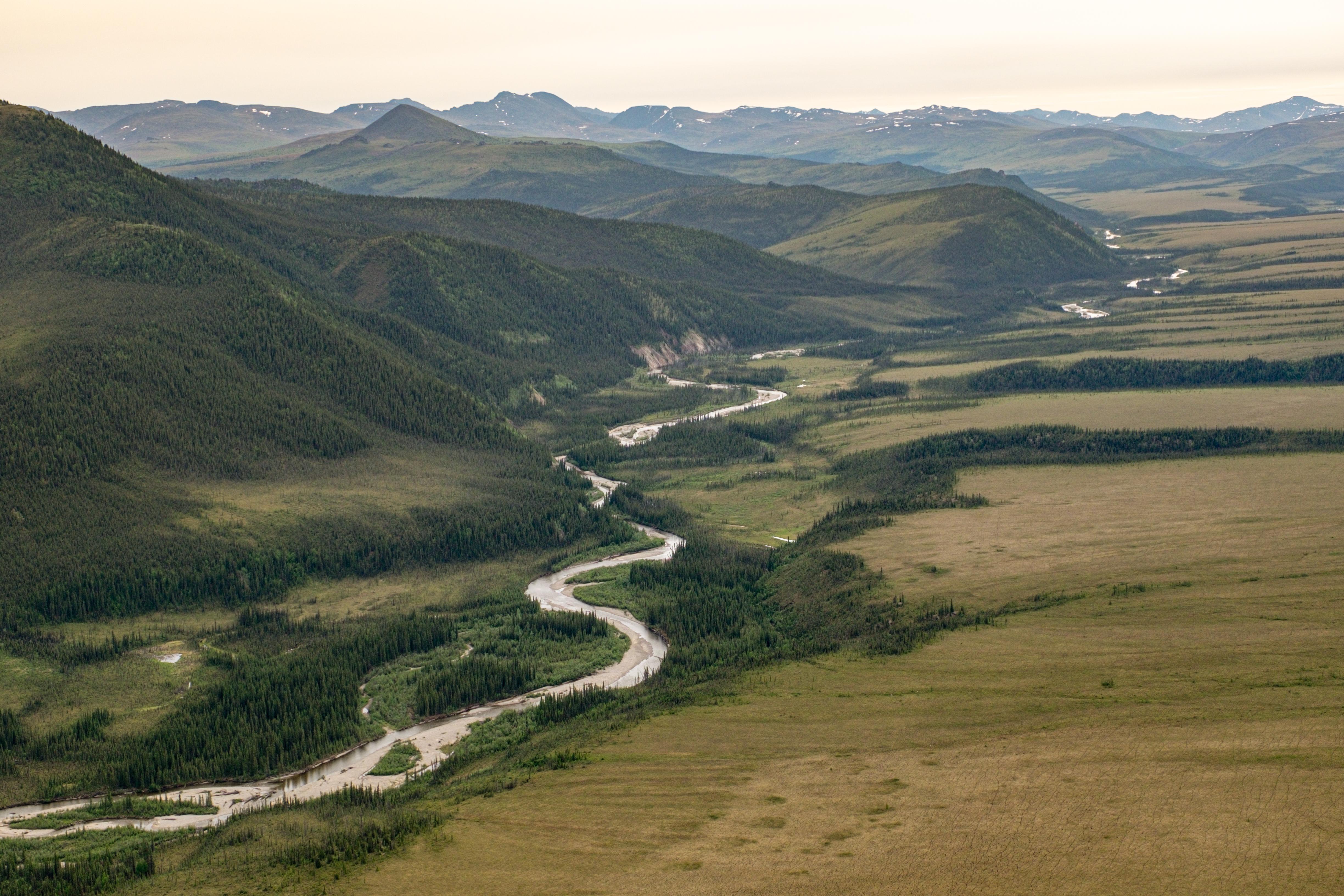
Yukon–Charley Rivers National Preserve is a United States national preserve located in east central Alaska along the border with Canada. Managed by the National Park Service, the preserve encompasses 130 miles (208 km) of the 1,800-mile (3,000 km) Yukon River and the entire Charley River basin. The preserve protects the undeveloped Charley River and a significant portion of the upper Yukon. The interior Alaskan region experiences extremes of weather, with temperatures that can vary from −50 °F (−46 °C) in winter to 97 °F (36 °C) in summertime. The Yukon provided a means of access to the region, which is entirely roadless, during the late 19th century and early 20th centuries. Gold rushes in Alaska brought prospectors, who operated gold dredges to recover significant quantities of placer gold from area creeks. Today the preserve includes part of the route of the annual Yukon Quest dogsled race, which runs every February. During the summer float trips are popular on the Yukon and Charley Rivers.
About Yukon - Charley Rivers National Preserve
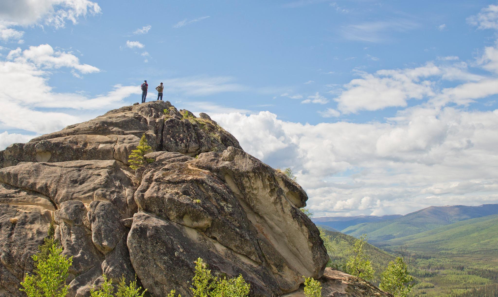
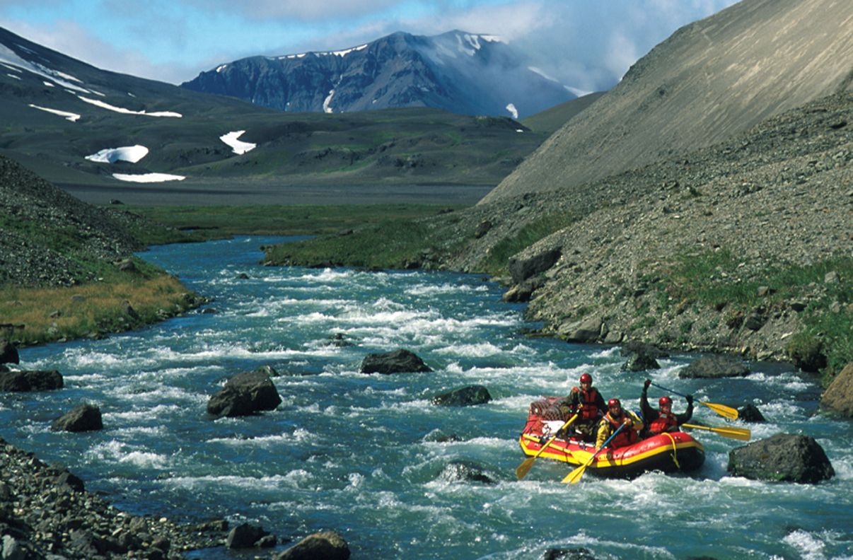
Located in Interior Alaska, Yukon-Charley Rivers offers exploration in a largely untouched landscape. Whether you float the mighty Yukon River or paddle the Charley River's whitewater, your memories will last a lifetime. Geology, cultural history, gold rush remnants, wildlife, and vast scenery will be a part of your experience. But, the strongest element will be solitude. Your adventure awaits.
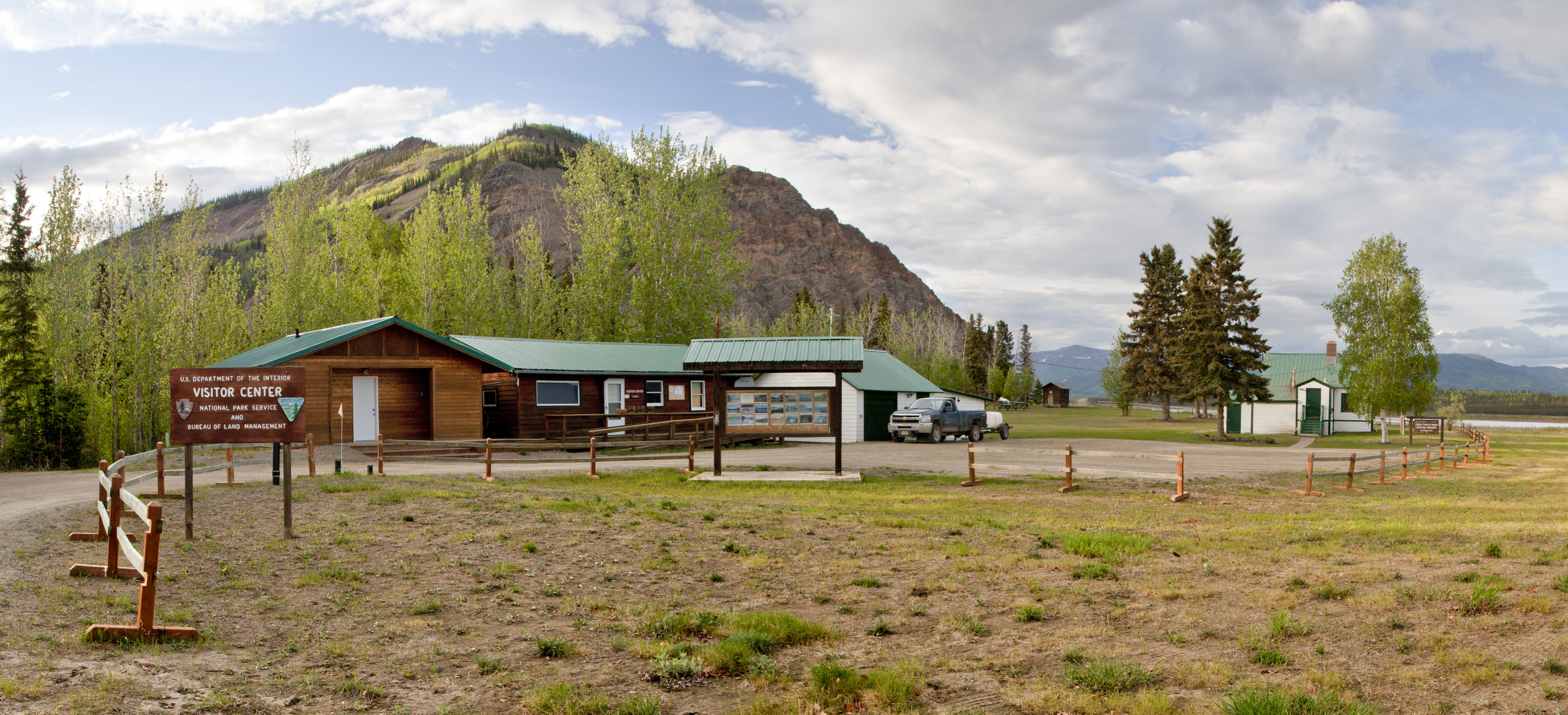
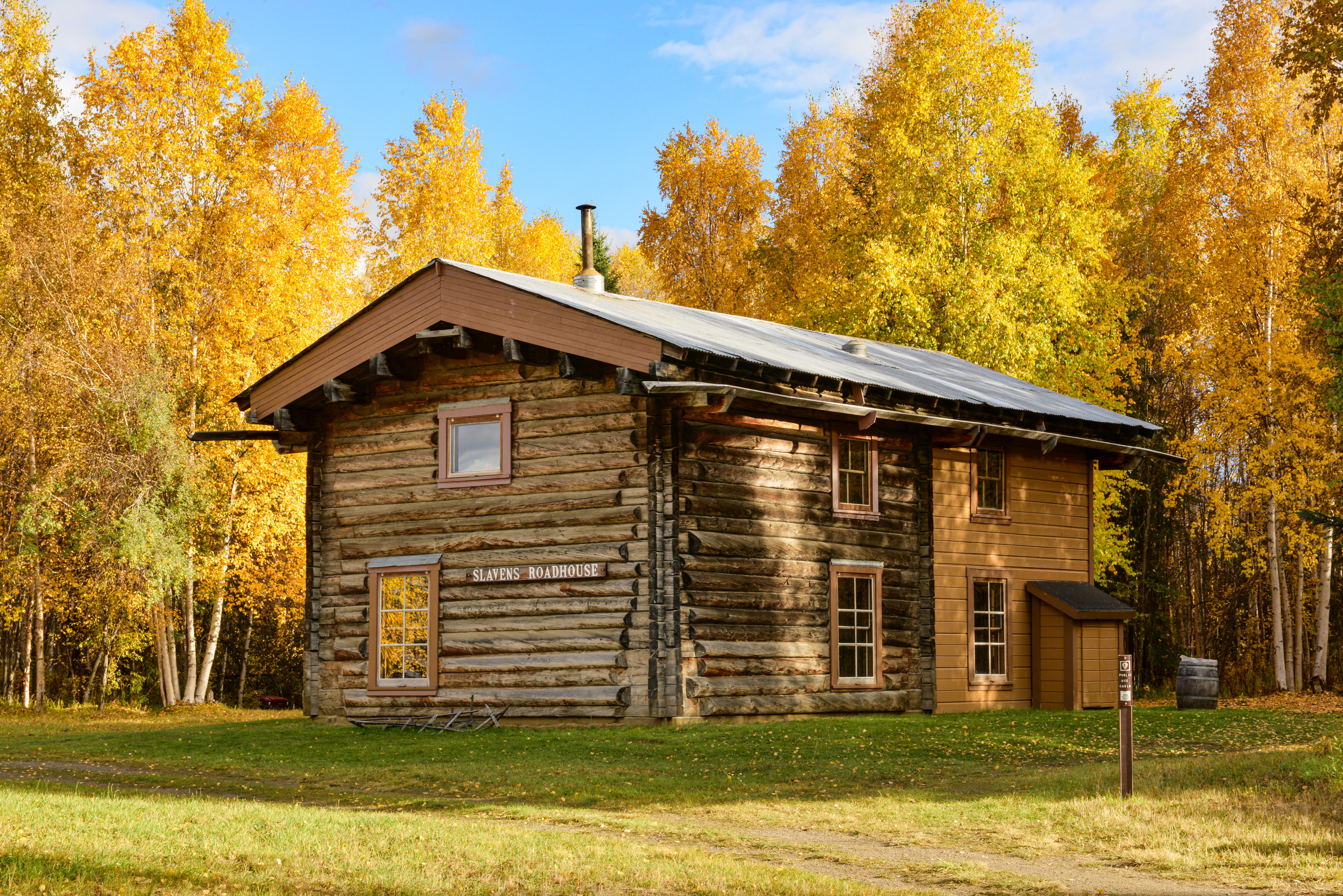
Park Photos
Activities
Operating Hours
Open 24-hours
The preserve is open 24-hours a day
| mon | tue | wed | thu | fri | sat | sun |
|---|---|---|---|---|---|---|
| All Day | All Day | All Day | All Day | All Day | All Day | All Day |
Frequently Asked Questions
How much does it cost to enter Yukon - Charley Rivers National Preserve?
Yukon - Charley Rivers National Preserve is free to enter.
What are the best activities at Yukon - Charley Rivers National Preserve?
Popular activities at Yukon - Charley Rivers National Preserve include: Boating, Motorized Boating, Camping, Backcountry Camping, Canoe or Kayak Camping, Dog Sledding, Fishing, Hiking.
What is the weather like at Yukon - Charley Rivers National Preserve?
The area that Yukon-Charley Rivers encompasses is generally classified as sub-arctic, with exceptionally cold winters, relatively warm summers, low annual precipitation, and generally high winds.
How do I get to Yukon - Charley Rivers National Preserve?
Although there is no direct highway connection to Yukon-Charley Rivers National Preserve, visitors are able to access the preserve by either air travel from Fairbanks, or water or air travel from two small towns on the road system(Eagle and Circle), near the preserve boundaries.
Entrance Fees
Free Admission
Weather
The area that Yukon-Charley Rivers encompasses is generally classified as sub-arctic, with exceptionally cold winters, relatively warm summers, low annual precipitation, and generally high winds.
Directions
Although there is no direct highway connection to Yukon-Charley Rivers National Preserve, visitors are able to access the preserve by either air travel from Fairbanks, or water or air travel from two small towns on the road system(Eagle and Circle), near the preserve boundaries.
📍 View on Google Maps →Location
Official Resources
NPS Official WebsiteMore Parks in Alaska
Other national park sites you might enjoy