Appalachian National Scenic Trail
National Scenic Trail · Connecticut, Georgia, Massachusetts, Maryland, Maine, North Carolina, New Hampshire, New Jersey, New York, Pennsylvania, Tennessee, Virginia, Vermont, West Virginia
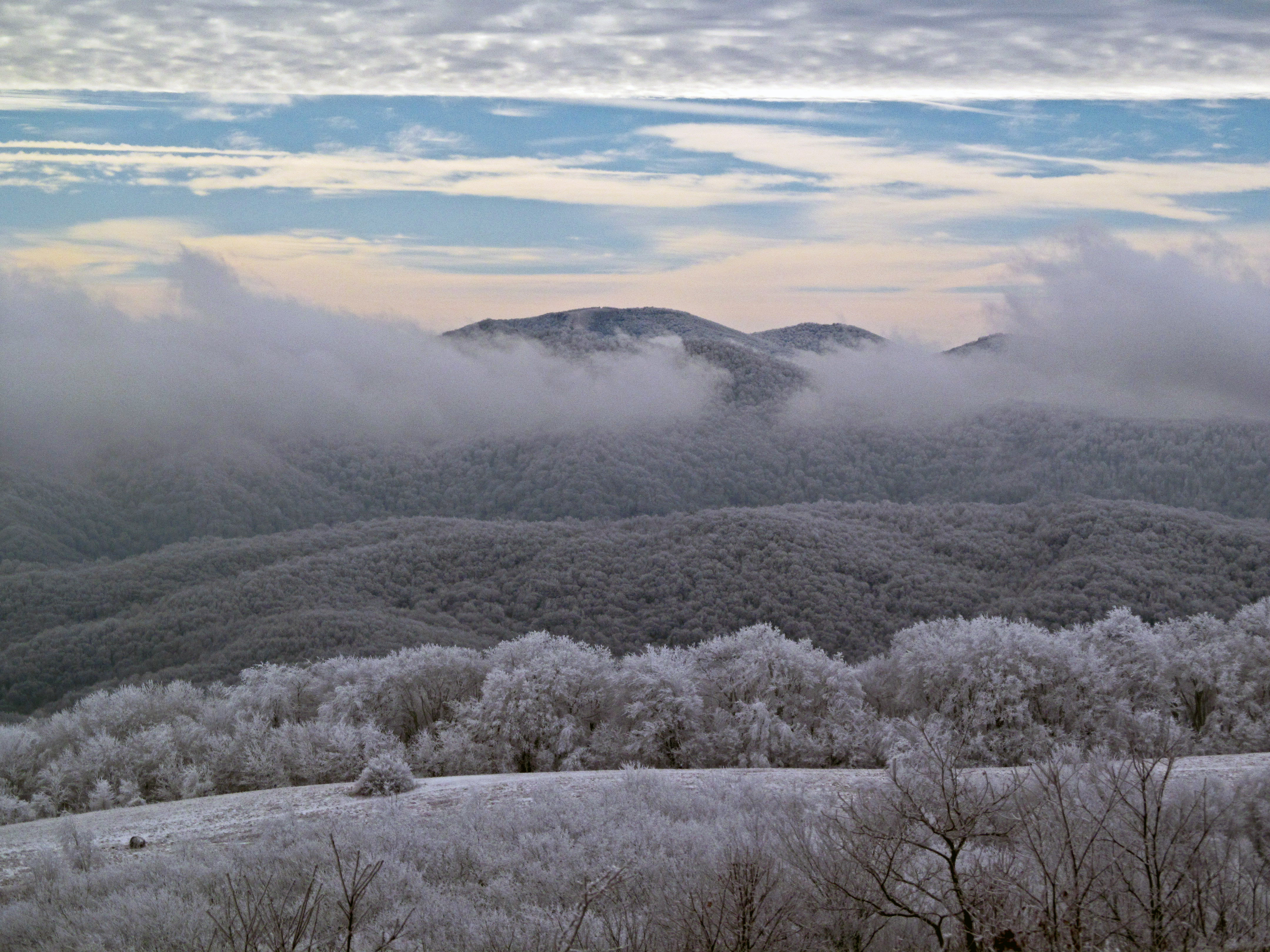
Photo Credit: ATC/Benjamin Hays
Hiking trail going through 14 US states
The Appalachian Trail, also called the A.T., is a hiking trail in the Eastern United States, extending almost 2,200 miles (3,540 km) between Springer Mountain in Georgia and Mount Katahdin in Maine, and passing through 14 states. The Appalachian Trail Conservancy claims the Appalachian Trail to be the world's longest hiking-only trail. More than three million people hike segments of it each year.
About Appalachian National Scenic Trail
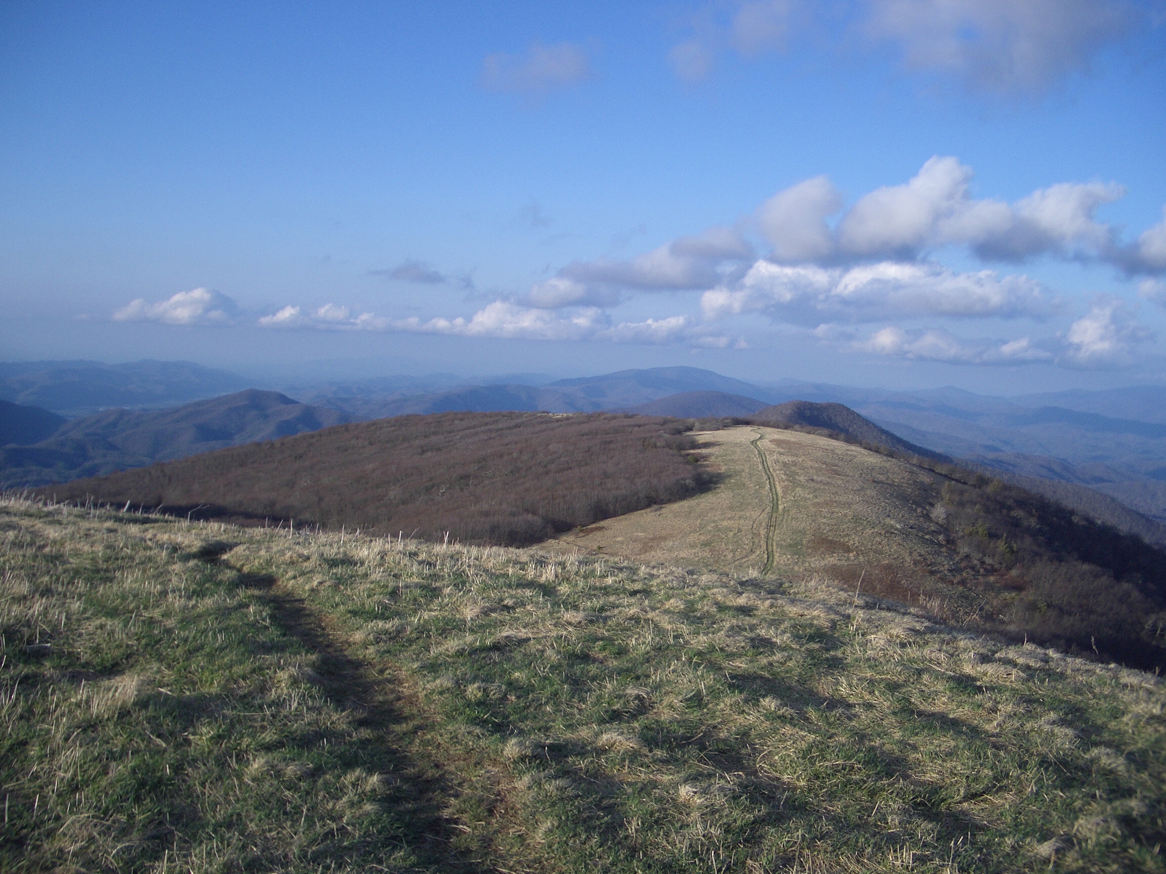
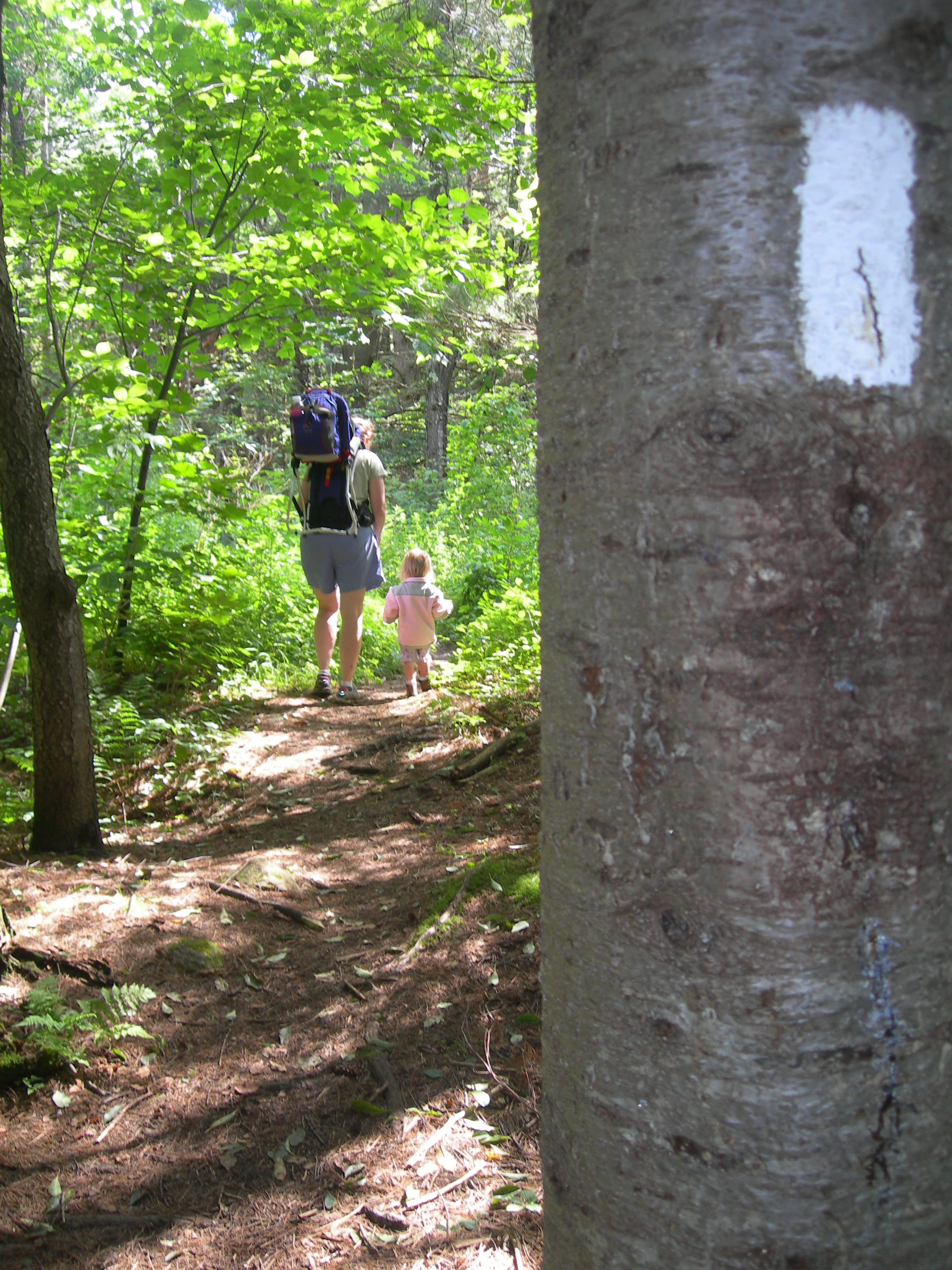
The Appalachian Trail is a 2,190+ mile long public footpath that traverses the scenic, wooded, pastoral, wild, and culturally resonant lands of the Appalachian Mountains. Conceived in 1921, built by private citizens, and completed in 1937, today the trail is managed by the National Park Service, US Forest Service, Appalachian Trail Conservancy, numerous state agencies and thousands of volunteers.
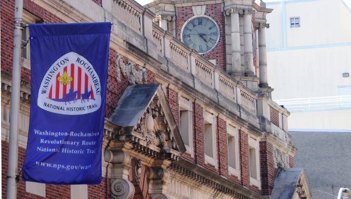
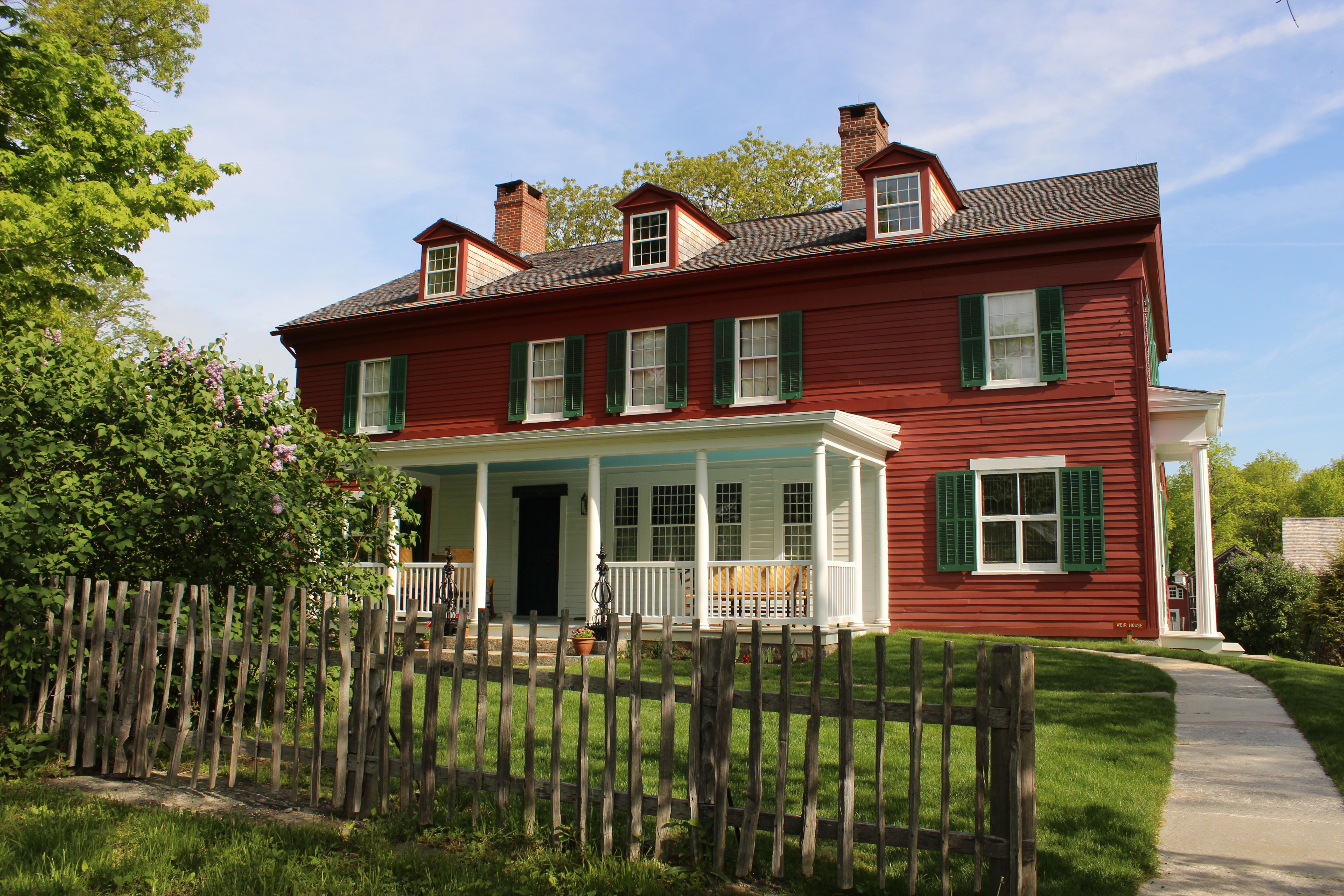
Park Photos

Activities
Operating Hours
Appalachian National Scenic Trail
In general, the Appalachian Trail is open year-round. The northern terminus at Mount Katahdin in Maine is within Baxter State Park, which may be closed in winter months, depending on weather conditions. Particular sections of the Trail, and less-developed roads accessing the Trail, may be closed temporarily for a number of reasons, but otherwise the trail is open.
| mon | tue | wed | thu | fri | sat | sun |
|---|---|---|---|---|---|---|
| All Day | All Day | All Day | All Day | All Day | All Day | All Day |
Frequently Asked Questions
How much does it cost to enter Appalachian National Scenic Trail?
Appalachian National Scenic Trail is free to enter.
What are the best activities at Appalachian National Scenic Trail?
Popular activities at Appalachian National Scenic Trail include: Astronomy, Stargazing, Camping, Backcountry Camping, Compass and GPS, Orienteering, Guided Tours, Self-Guided Tours - Walking.
What is the weather like at Appalachian National Scenic Trail?
It is your responsibility to be prepared for all weather conditions, including extreme and unexpected weather changes year-round. As the trail runs from Georgia to Maine there will be different weather conditions depending on your location. For weather along specific sections of the trail and at specific shelters, please refer to: http://www.atweather.org/
How do I get to Appalachian National Scenic Trail?
There are many points of access along the Appalachian Trail, whether it is by car, train, bus or plane. For more detailed directions, please refer to the "Directions" section of our park webpage.
Entrance Fees
Free Admission
Weather
It is your responsibility to be prepared for all weather conditions, including extreme and unexpected weather changes year-round. As the trail runs from Georgia to Maine there will be different weather conditions depending on your location. For weather along specific sections of the trail and at specific shelters, please refer to: http://www.atweather.org/
Directions
There are many points of access along the Appalachian Trail, whether it is by car, train, bus or plane. For more detailed directions, please refer to the "Directions" section of our park webpage.
📍 View on Google Maps →Location
Official Resources
NPS Official WebsiteMore Parks in Connecticut
Other national park sites you might enjoy