
New England National Scenic Trail
National Scenic Trail · Massachusetts, Connecticut
AMC Photo

Hiking trail in the United States
The New England National Scenic Trail (NET) is a National Scenic Trail in southern New England, which includes most of the three single trails Metacomet-Monadnock Trail, Mattabesett Trail and Metacomet Trail. After the Metacomet-Monadnock-Mattabesett trail system, the trail is sometimes called the Triple-M Trail. The 215-mile (346 km) route extends through 41 communities from Guilford, Connecticut, at Long Island Sound over the Metacomet Ridge, through the highlands of the Pioneer Valley of Massachusetts, to the New Hampshire state border. (The remainder of the M-M Trail to the summit of Mount Monadnock in southern New Hampshire is not included in the designation.) This includes a now (2013) complete connector trail (the Menunkatuck Trail) from the southernmost location of the Mattabesett Trail (in northern Guilford, Connecticut) to the sea (Long Island Sound) and a deviation of the Metacomet-Monadnock Trail in Massachusetts, to lead the trail through state-owned land instead of largely unprotected land.
About New England National Scenic Trail
From the Sound to the summits: the New England Trail covers 235 miles from Long Island Sound across long ridges to scenic mountain summits in Connecticut and Massachusetts. The trail offers panoramic vistas and close-ups of New England’s natural and cultural landscape: traprock ridges, historic village centers, farmlands, unfragmented forests, quiet streams, steep river valleys and waterfalls.
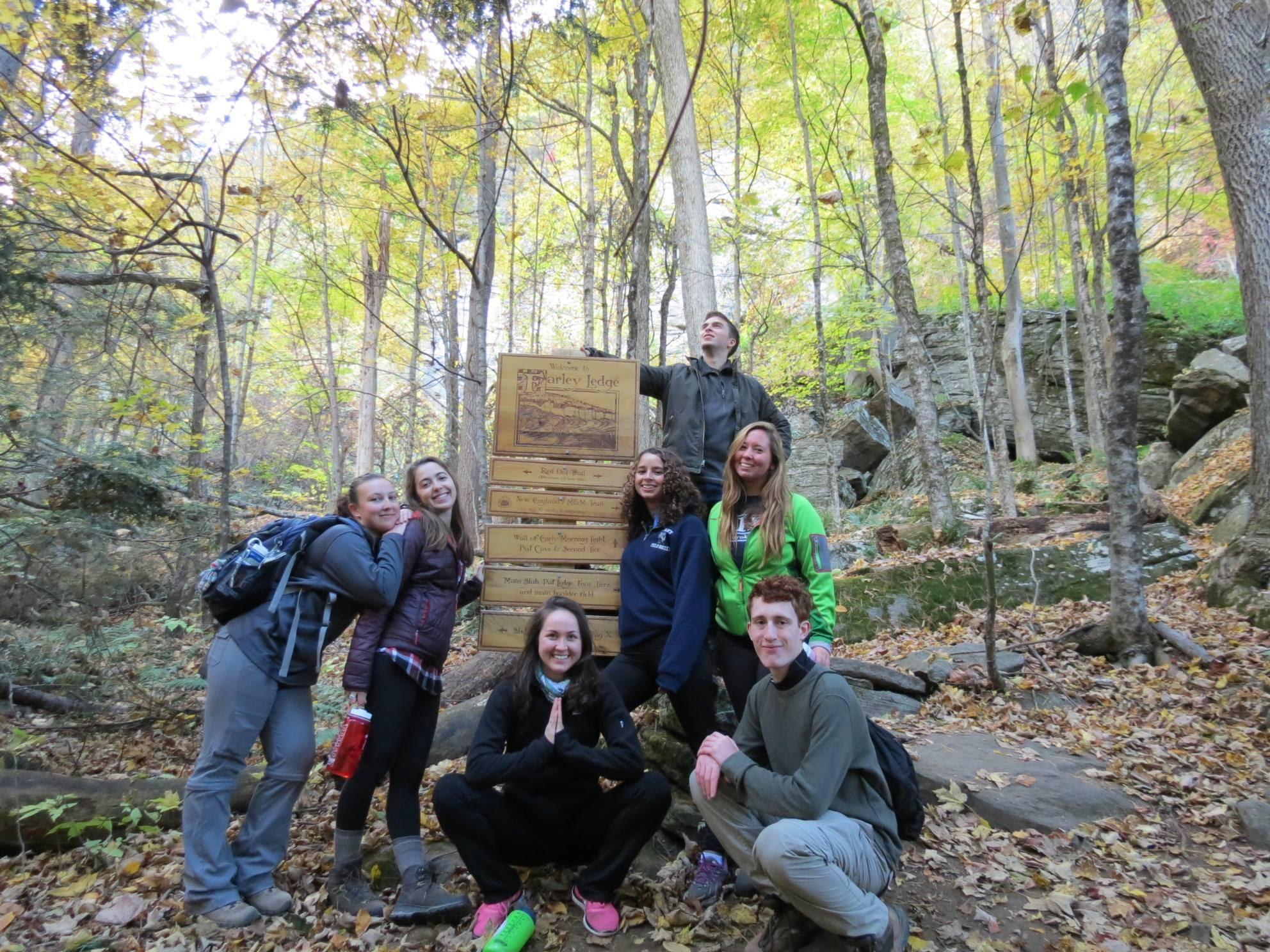
Park Photos


Activities
Operating Hours
New England Trail Hours
As the New England trail crosses private property and state land, many locations along the trail do not permit night hiking or overnight parking. Before going out on a hike, check the hours of local parks for parking and hiking regulations.
| mon | tue | wed | thu | fri | sat | sun |
|---|---|---|---|---|---|---|
| Sunrise to Sunset | Sunrise to Sunset | Sunrise to Sunset | Sunrise to Sunset | Sunrise to Sunset | Sunrise to Sunset | Sunrise to Sunset |
Frequently Asked Questions
How much does it cost to enter New England National Scenic Trail?
New England National Scenic Trail is free to enter.
What are the best activities at New England National Scenic Trail?
Popular activities at New England National Scenic Trail include: Camping, Backcountry Camping, Food, Dining, Hiking, Backcountry Hiking, Front-Country Hiking, Snowshoeing.
What is the weather like at New England National Scenic Trail?
Temperatures range from warm, humid summer days to cold New England winter days.
How do I get to New England National Scenic Trail?
More than 100 public roads cross the New England Trail, and there are trail head parking areas at or near many of these crossings. Detailed Trail Maps are available from Appalachian Mountain Club and Connecticut Forest & Park Association. For Massachusetts maps, visit the AMC Berkshire Chapter; for Connecticut, visit the CFPA Bookstore. Direct access by bus is available at several points in Connecticut and Massachusetts. Train service is available at two points – in Guilford, CT and Northampton, MA.
Entrance Fees
Free Admission
Weather
Temperatures range from warm, humid summer days to cold New England winter days.
Directions
More than 100 public roads cross the New England Trail, and there are trail head parking areas at or near many of these crossings. Detailed Trail Maps are available from Appalachian Mountain Club and Connecticut Forest & Park Association. For Massachusetts maps, visit the AMC Berkshire Chapter; for Connecticut, visit the CFPA Bookstore. Direct access by bus is available at several points in Connecticut and Massachusetts. Train service is available at two points – in Guilford, CT and Northampton, MA.
📍 View on Google Maps →Location
Official Resources
NPS Official WebsiteMore Parks in Massachusetts
Other national park sites you might enjoy