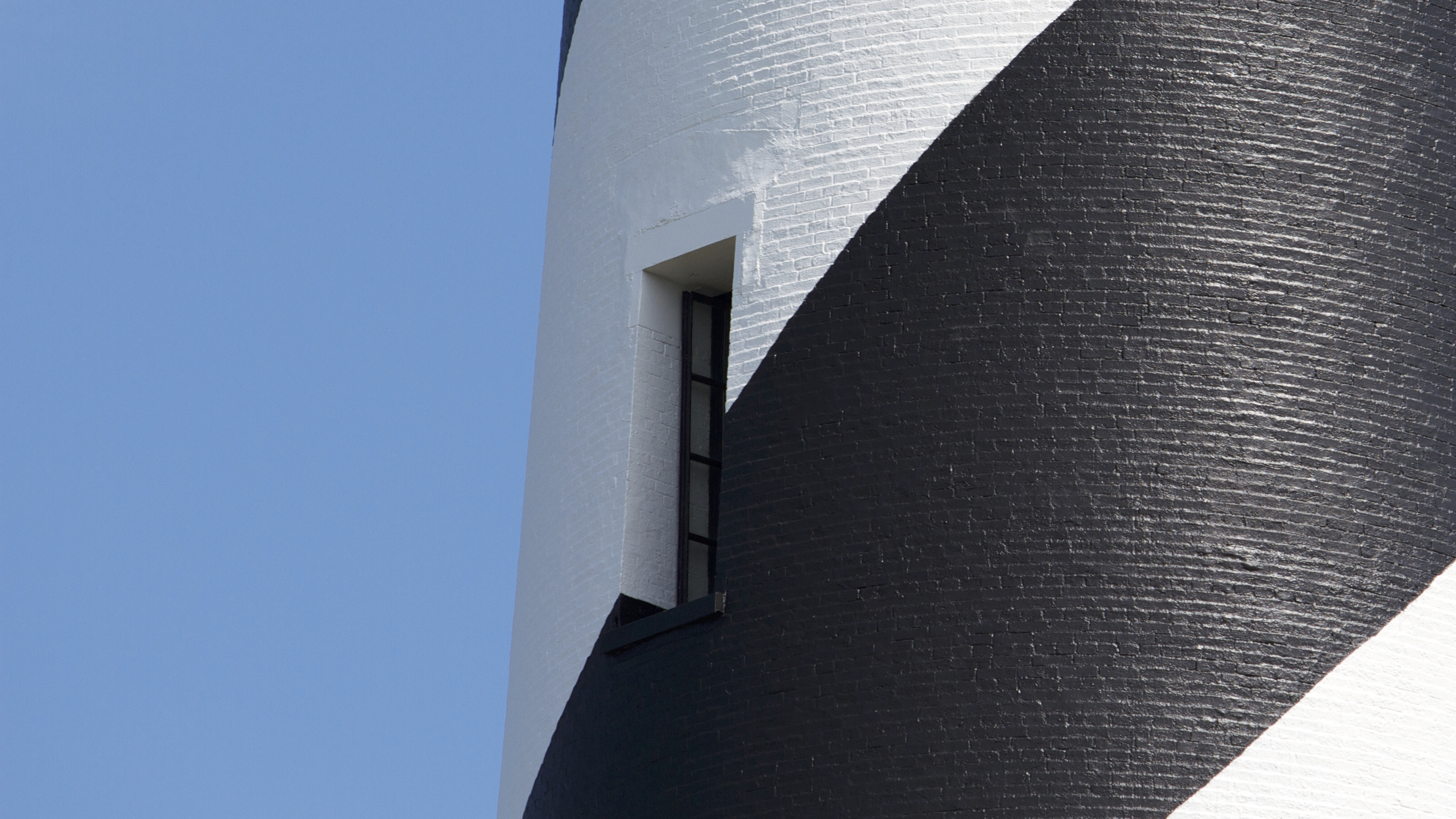
Cape Hatteras National Seashore
National Seashore · North Carolina
NPS Photo

National seashore in North Carolina, US
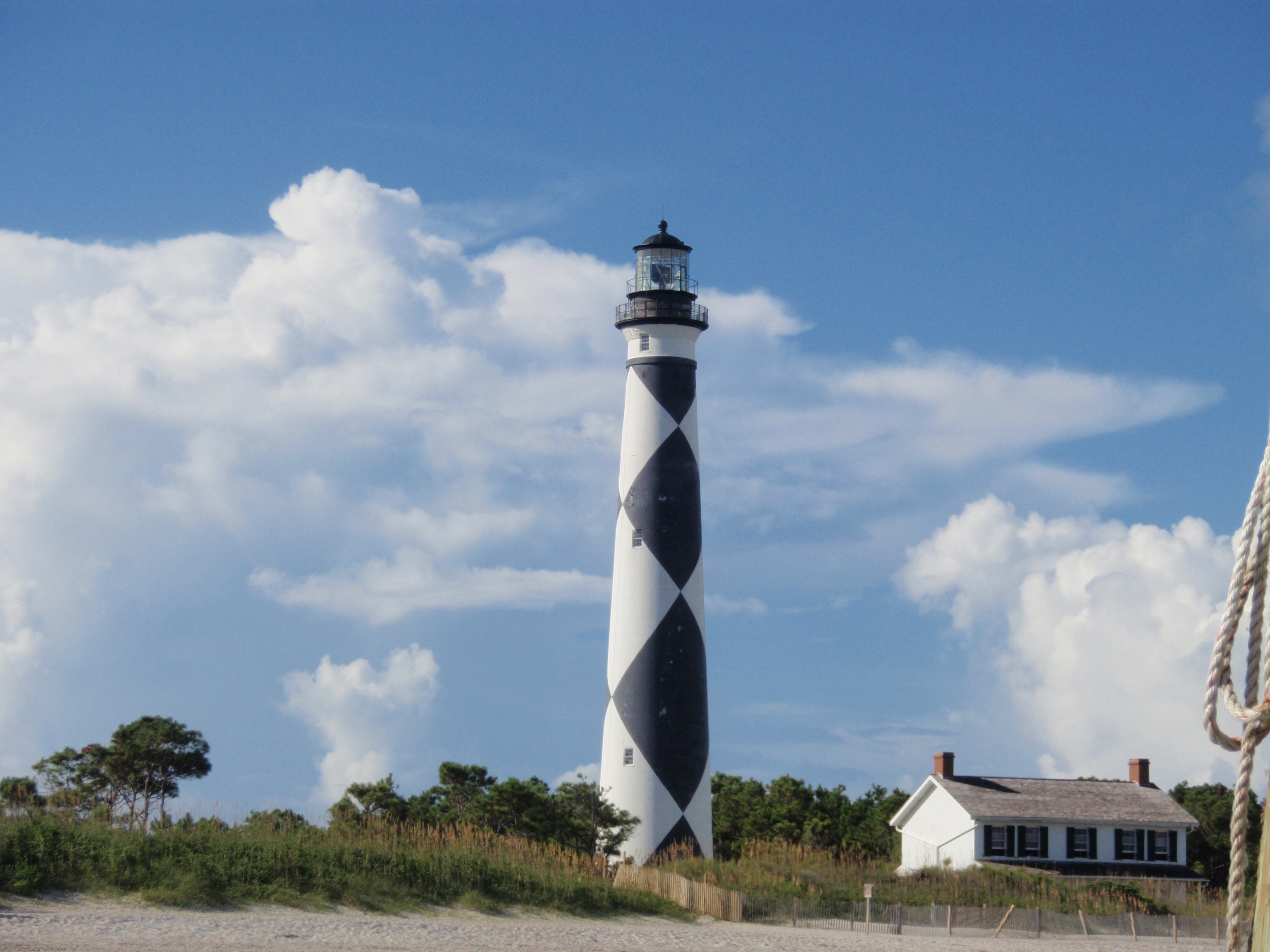
Cape Hatteras National Seashore is a United States national seashore which preserves the portion of the Outer Banks of North Carolina from Bodie Island to Ocracoke Island, stretching over 70 miles (110 km), and is managed by the National Park Service. Included within this section of barrier islands along N.C. 12, but outside the national seashore boundaries, are Pea Island National Wildlife Refuge and several communities, such as Rodanthe, Buxton, and Ocracoke. Cape Hatteras is a combination of natural and cultural resources and provides a wide variety of recreational opportunities.
About Cape Hatteras National Seashore
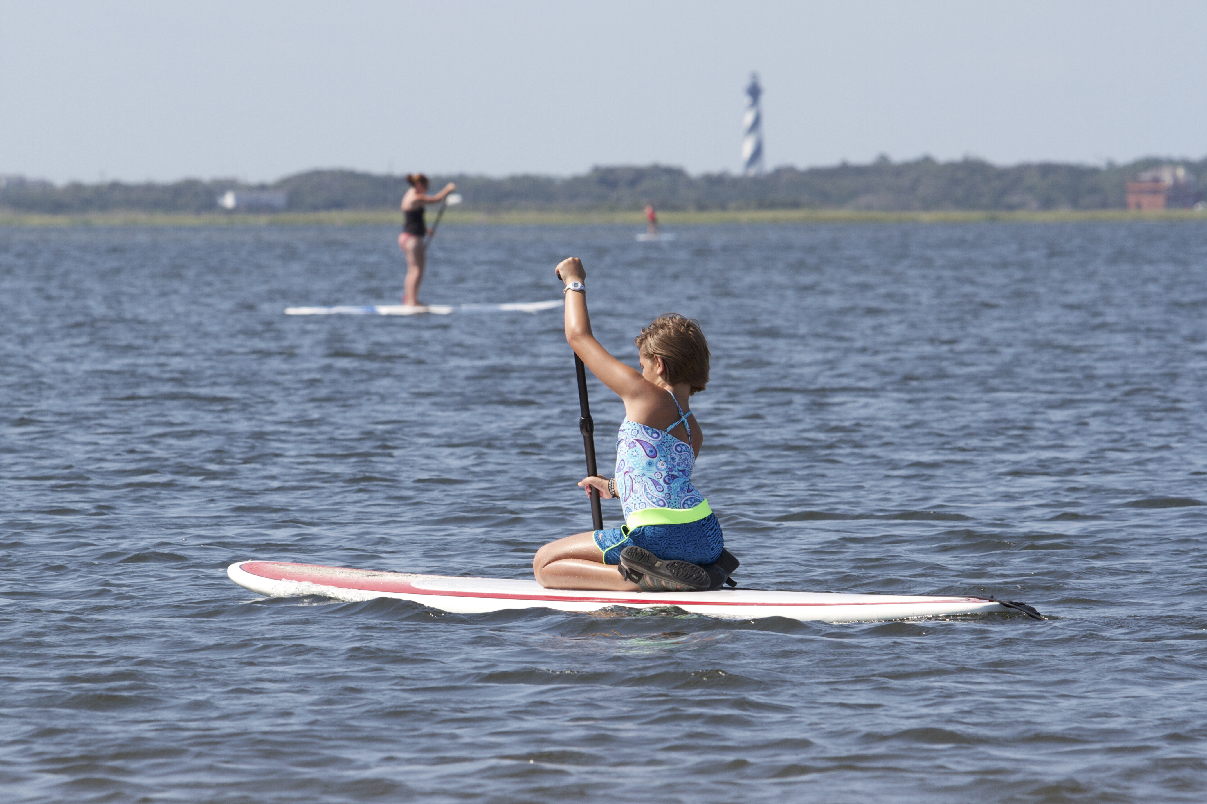
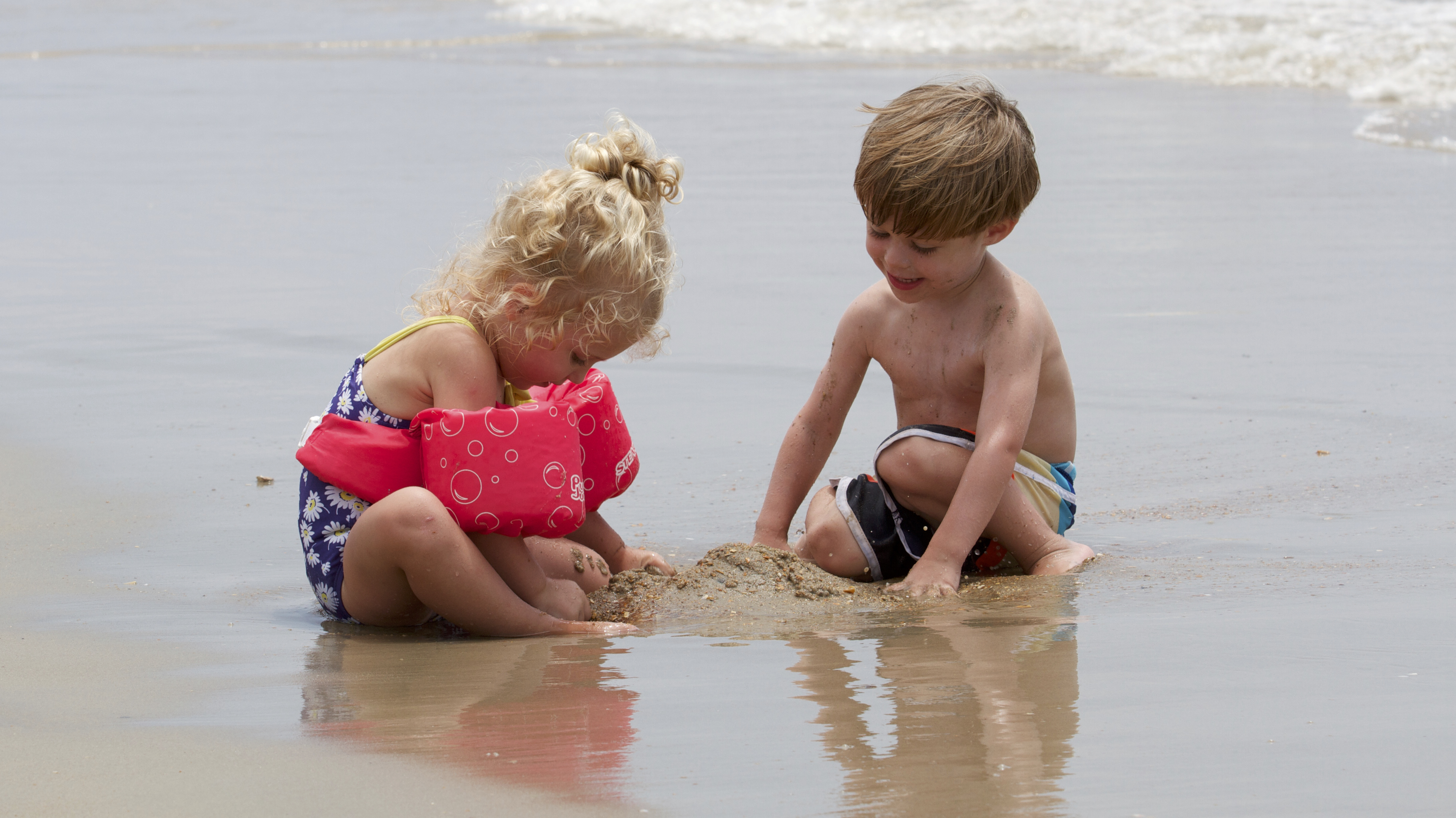
The sound of ocean waves, the starry night sky, or the calm of the salt marshes, you can experience it all. Shaped by the forces of water, wind, and storms these islands are ever changing. The plants, wildlife, and people who live here adapt continually. Whether you are enjoying the beach, kayaking the sound, or climbing the Cape Hatteras Lighthouse there is something for everyone to explore!
Park Photos
Activities
Operating Hours
Park Grounds
The grounds of Cape Hatteras National Seashore are always open for visitors, though there are resource closures that seasonally affect different parts of the beach.
| mon | tue | wed | thu | fri | sat | sun |
|---|---|---|---|---|---|---|
| All Day | All Day | All Day | All Day | All Day | All Day | All Day |
Frequently Asked Questions
How much does it cost to enter Cape Hatteras National Seashore?
Cape Hatteras National Seashore is free to enter.
What are the best activities at Cape Hatteras National Seashore?
Popular activities at Cape Hatteras National Seashore include: Auto and ATV, Auto Off-Roading, Astronomy, Stargazing, Camping, Car or Front Country Camping, Group Camping, RV Camping.
What is the weather like at Cape Hatteras National Seashore?
The weather along the Outer Banks varies throughout the year and even throughout the day. Please check the National Weather Service information at http://www.weather.gov/mhx/ for forecast information.
How do I get to Cape Hatteras National Seashore?
Cape Hatteras National Seashore is located along NC-12 in the Outer Banks of North Carolina. You can reach the seashore from the north by following US 158 to Nag Heads, NC and the turn-off to NC-12 and Cape Hatteras National Seashore. From the south, you can take NCDOT ferries from Swanquarter, NC and Cedar Island, NC to the village of Ocracoke on Ocracoke Island. The provided physical address is the location of the Cape Hatteras Lighthouse, roughly in the middle of the park.
Entrance Fees
Free Admission
Weather
The weather along the Outer Banks varies throughout the year and even throughout the day. Please check the National Weather Service information at http://www.weather.gov/mhx/ for forecast information.
Directions
Cape Hatteras National Seashore is located along NC-12 in the Outer Banks of North Carolina. You can reach the seashore from the north by following US 158 to Nag Heads, NC and the turn-off to NC-12 and Cape Hatteras National Seashore. From the south, you can take NCDOT ferries from Swanquarter, NC and Cedar Island, NC to the village of Ocracoke on Ocracoke Island. The provided physical address is the location of the Cape Hatteras Lighthouse, roughly in the middle of the park.
📍 View on Google Maps →Location
Official Resources
NPS Official WebsiteMore Parks in North Carolina
Other national park sites you might enjoy