César E. Chávez National Monument
National Monument · California
NPS

U.S. National Monument in Keene, Kern County, California
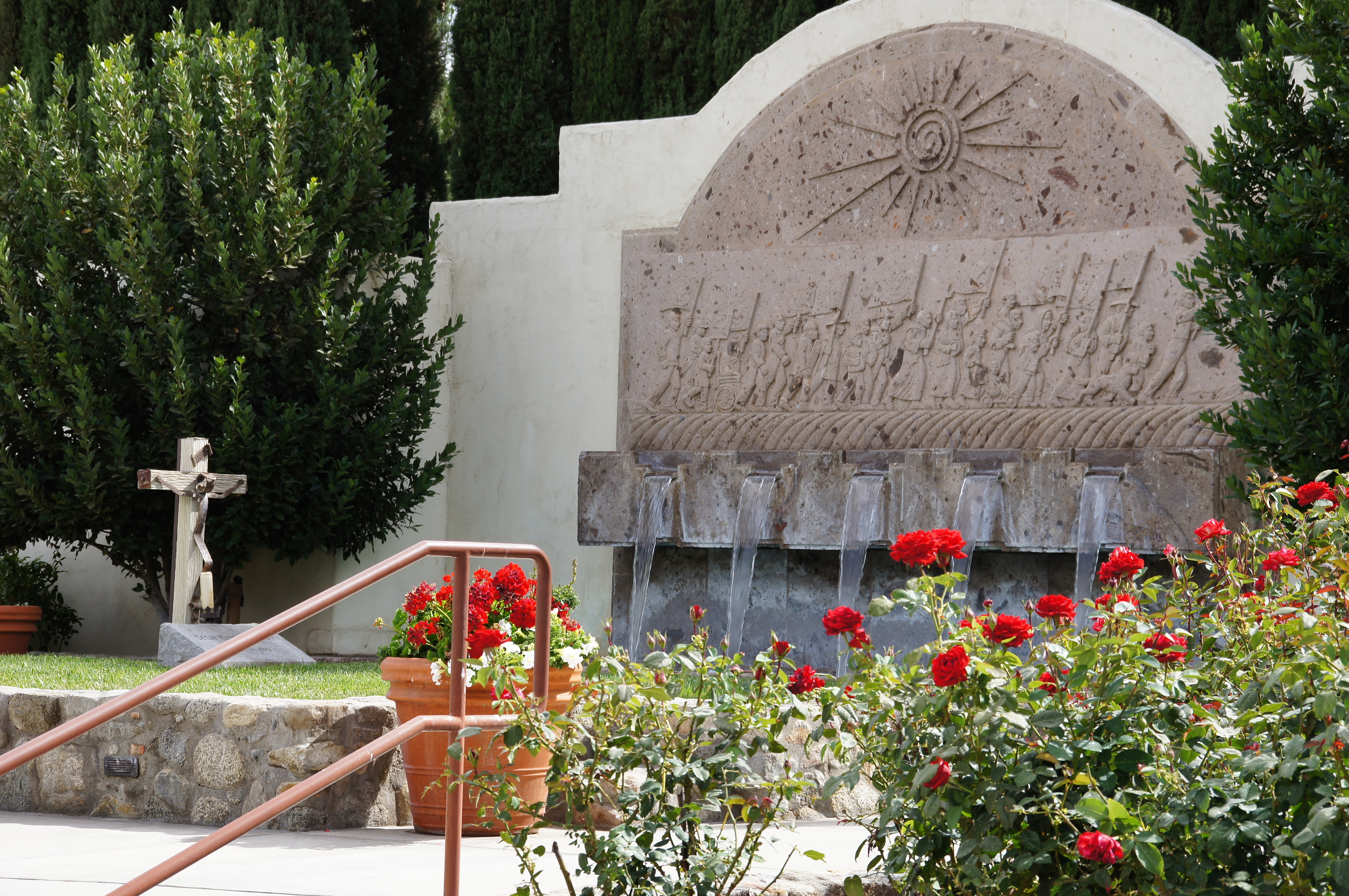
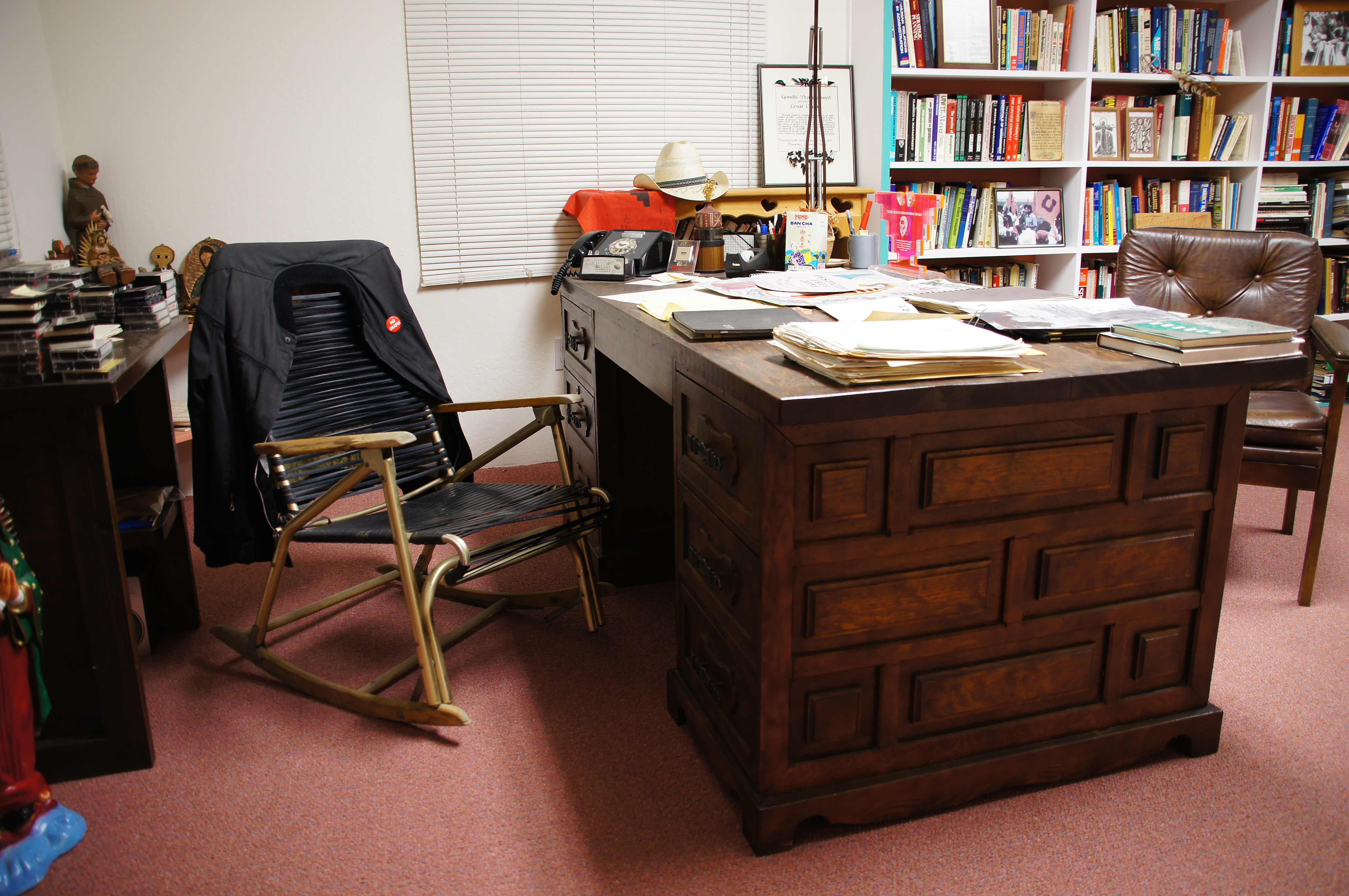
César E. Chávez National Monument, also known as Nuestra Señora Reina de la Paz, is a 116-acre (47 ha) U.S. National Monument in Keene, Kern County, California, located about 32 miles away from Bakersfield, California. The property was the headquarters of the United Farm Workers (UFW), and home to César Chávez from the early 1970s until his death in 1993.
About César E. Chávez National Monument
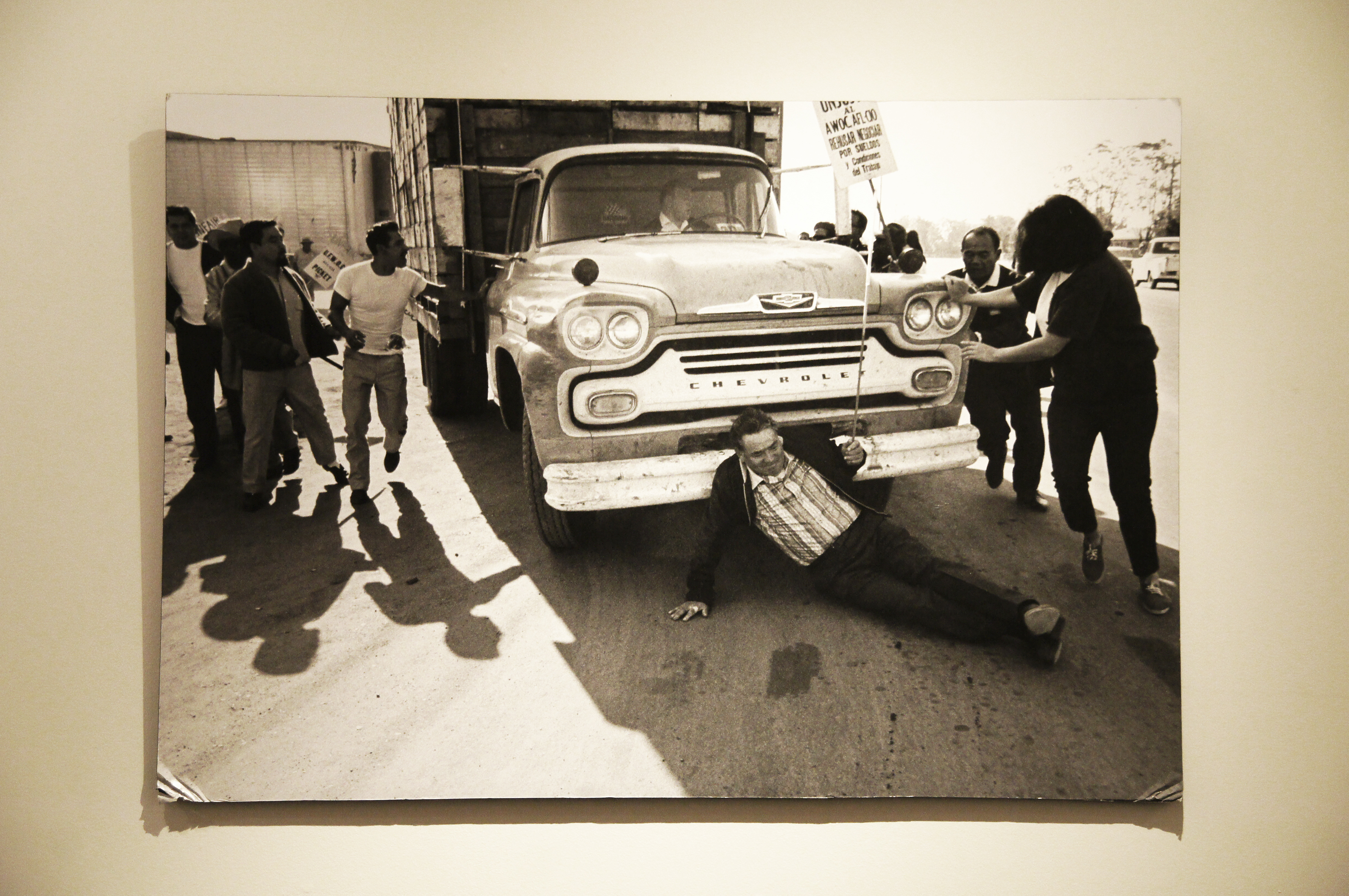
Yes, we can! Widely recognized as the most important Latino leader in the United States during the twentieth century, Cesar Chavez led farm workers and supporters in the establishment of the country's first permanent agricultural union. His leadership brought sustained international attention to the plight of U.S. farm workers, and secured for them higher wages and safer working conditions.
Park Photos
Activities
Operating Hours
César E. Chávez National Monument Hours
The monument is open daily from 10:00 am to 4:00 pm except for the following holidays: Easter Sunday, Thanksgiving Day and the Friday after, Christmas Eve and Christmas Day, and New Year's Eve and New Year's Day.
| mon | tue | wed | thu | fri | sat | sun |
|---|---|---|---|---|---|---|
| 10:00AM - 4:00PM | 10:00AM - 4:00PM | 10:00AM - 4:00PM | 10:00AM - 4:00PM | 10:00AM - 4:00PM | 10:00AM - 4:00PM | 10:00AM - 4:00PM |
Frequently Asked Questions
How much does it cost to enter César E. Chávez National Monument?
César E. Chávez National Monument is free to enter.
What are the best activities at César E. Chávez National Monument?
Popular activities at César E. Chávez National Monument include: Guided Tours, Self-Guided Tours - Auto, Museum Exhibits, Shopping, Gift Shop and Souvenirs.
What is the weather like at César E. Chávez National Monument?
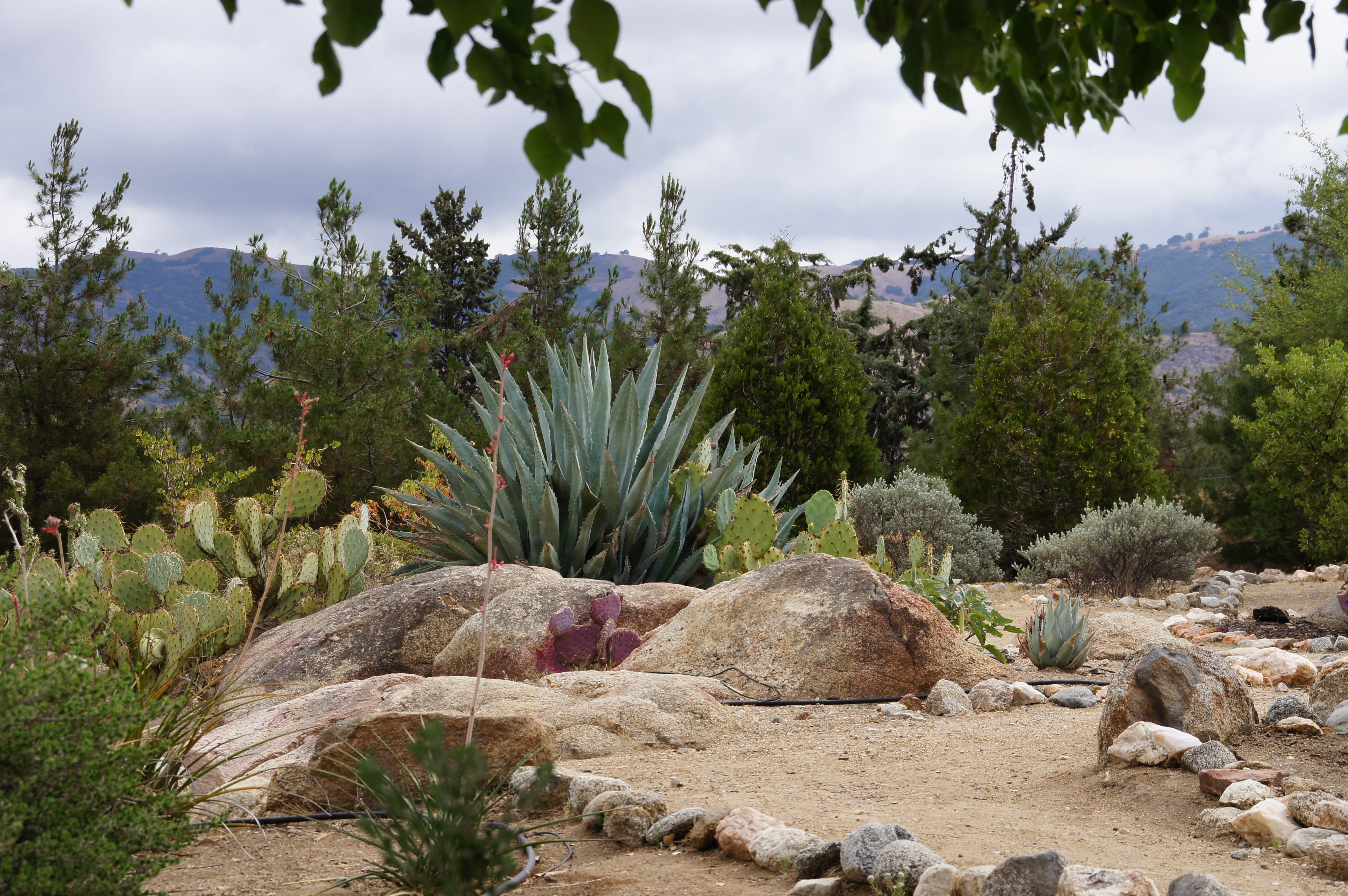
The climate in this area is mild, with warm, dry summers and cool winters. The Tehachapi Mountains are quite warm and sunny in summer, with temperatures typically around 90° F but occasionally exceeding 100° F during July, the warmest month. In winter, temperatures range between 30°-50° F. Frosty mornings are common, and roads may be icy. Before you visit, check the local weather forecast below. Weather can change rapidly.
How do I get to César E. Chávez National Monument?
The monument is located near the small town of Keene, California on Highway 58. From Highway 58, take exit 138 toward Keene, then turn right (east) on Woodford-Tehachapi Road. Travel about 0.5 miles (0.8 km) east on Woodford-Tehachapi Road and the entrance to César E. Chávez National Monument will be on your left.
Entrance Fees
Free Admission
Weather
The climate in this area is mild, with warm, dry summers and cool winters. The Tehachapi Mountains are quite warm and sunny in summer, with temperatures typically around 90° F but occasionally exceeding 100° F during July, the warmest month. In winter, temperatures range between 30°-50° F. Frosty mornings are common, and roads may be icy. Before you visit, check the local weather forecast below. Weather can change rapidly.
Directions
The monument is located near the small town of Keene, California on Highway 58. From Highway 58, take exit 138 toward Keene, then turn right (east) on Woodford-Tehachapi Road. Travel about 0.5 miles (0.8 km) east on Woodford-Tehachapi Road and the entrance to César E. Chávez National Monument will be on your left.
📍 View on Google Maps →Location
Official Resources
NPS Official WebsiteMore Parks in California
Other national park sites you might enjoy