Cumberland Island National Seashore
National Seashore · Georgia
NPS Photo

Protected area in Camden County, Georgia, US
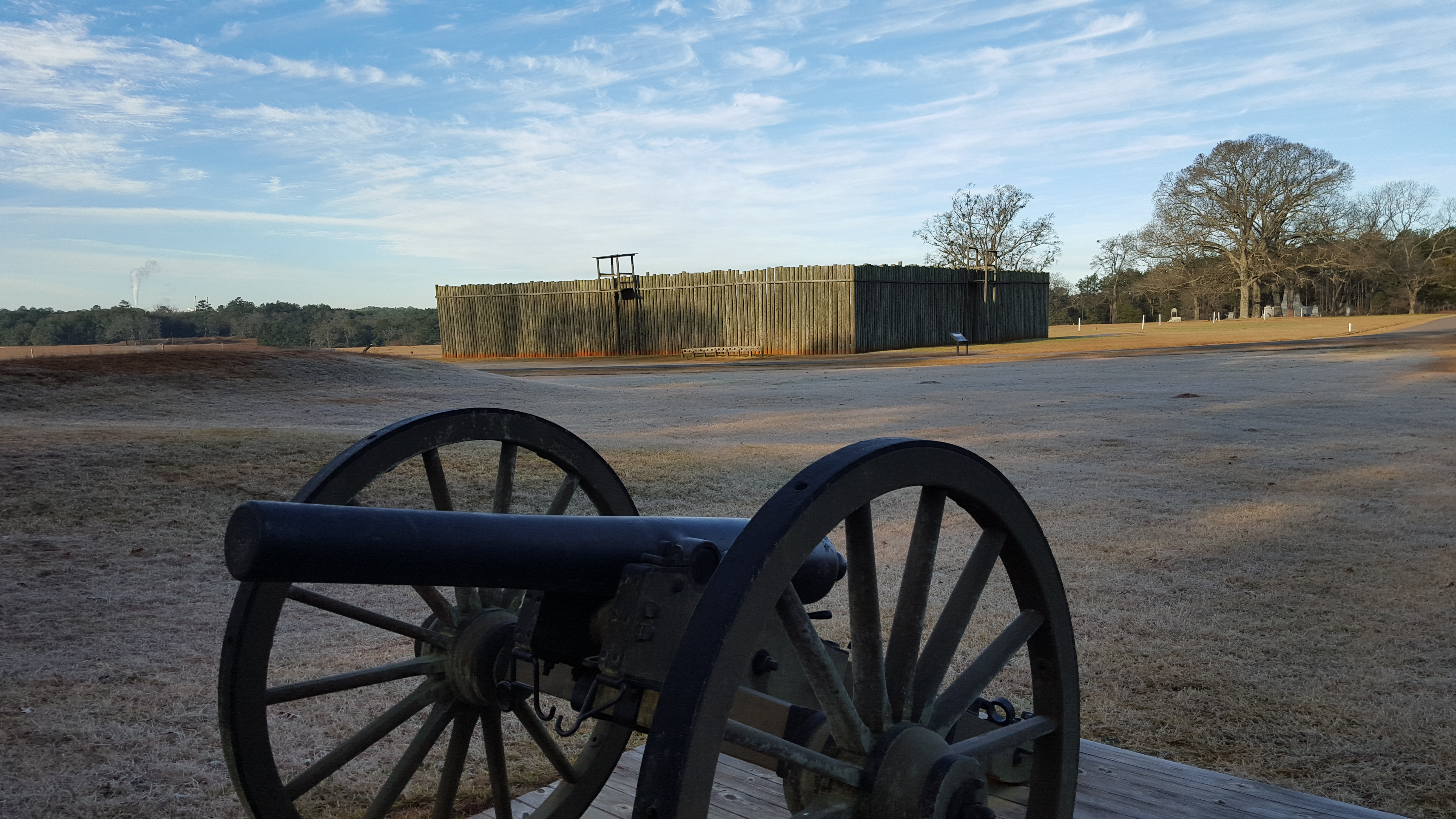
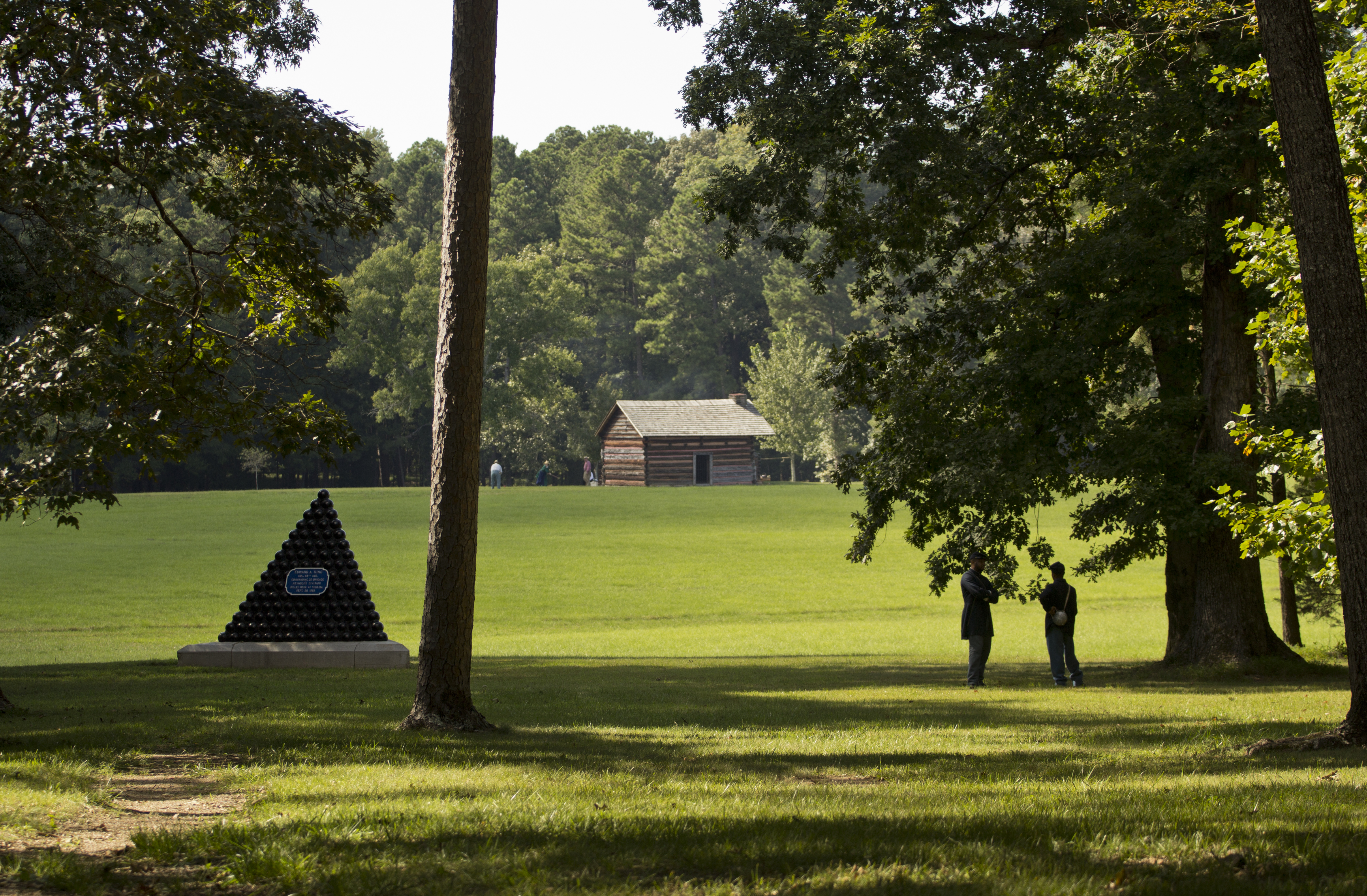
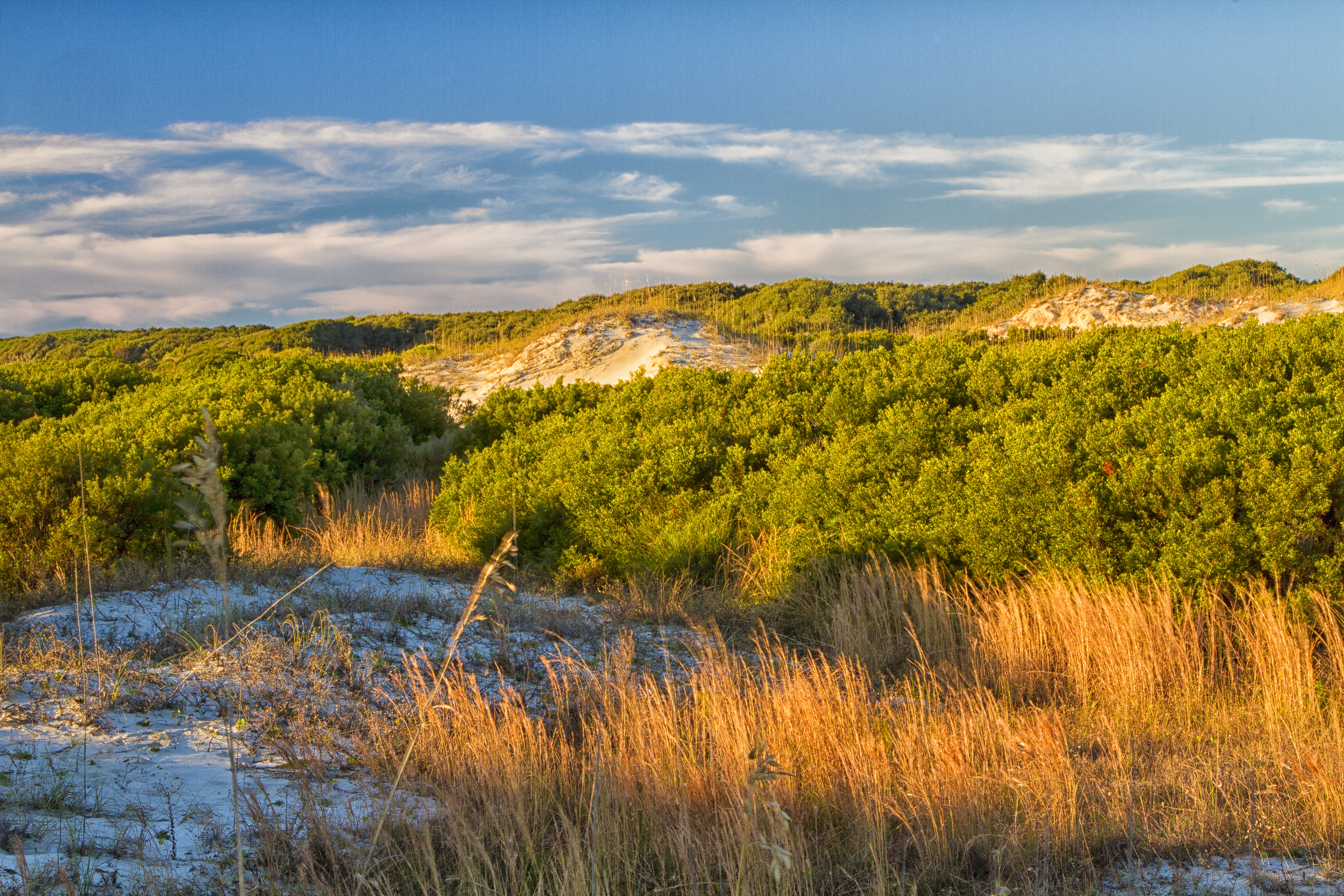
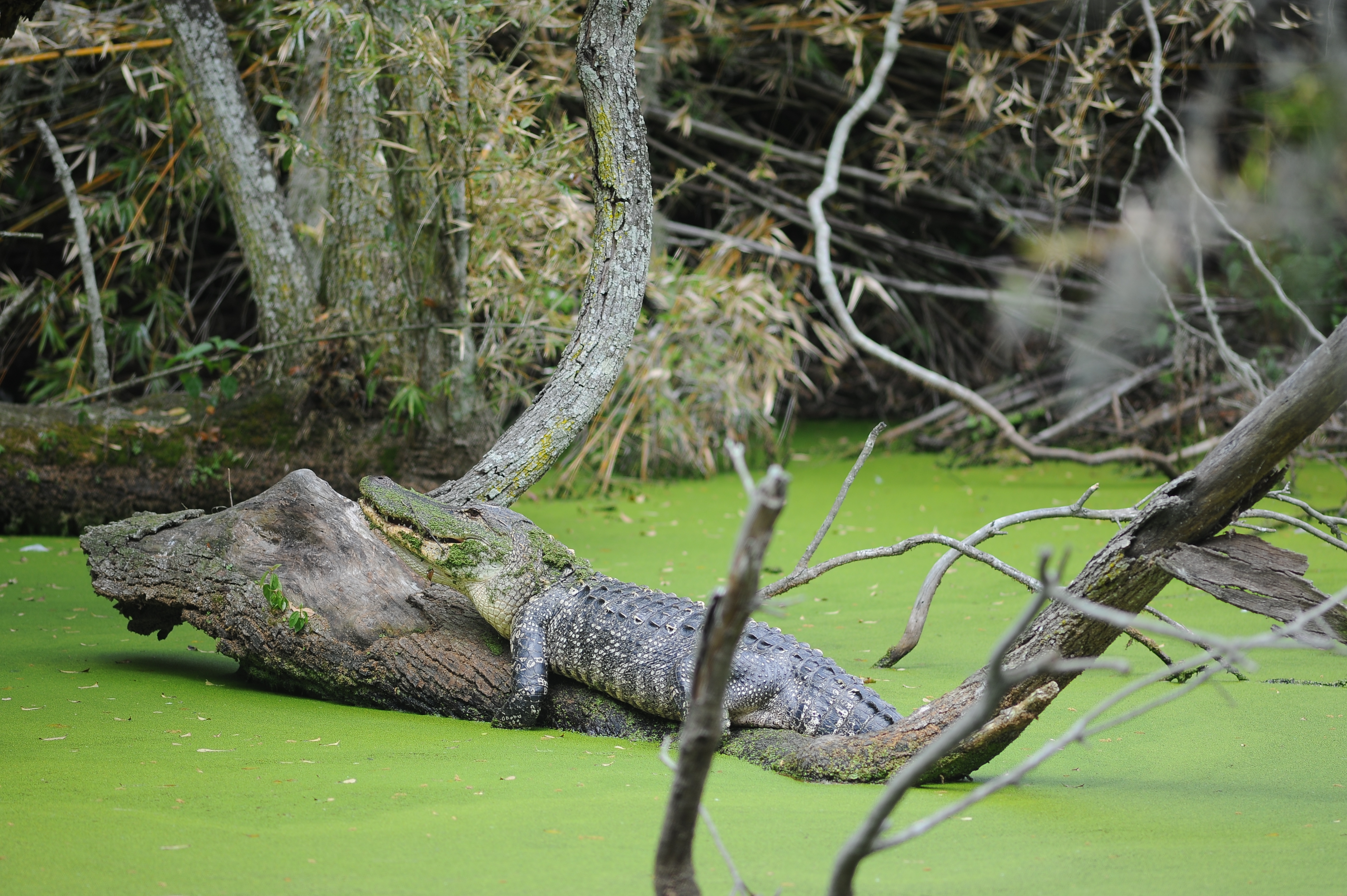
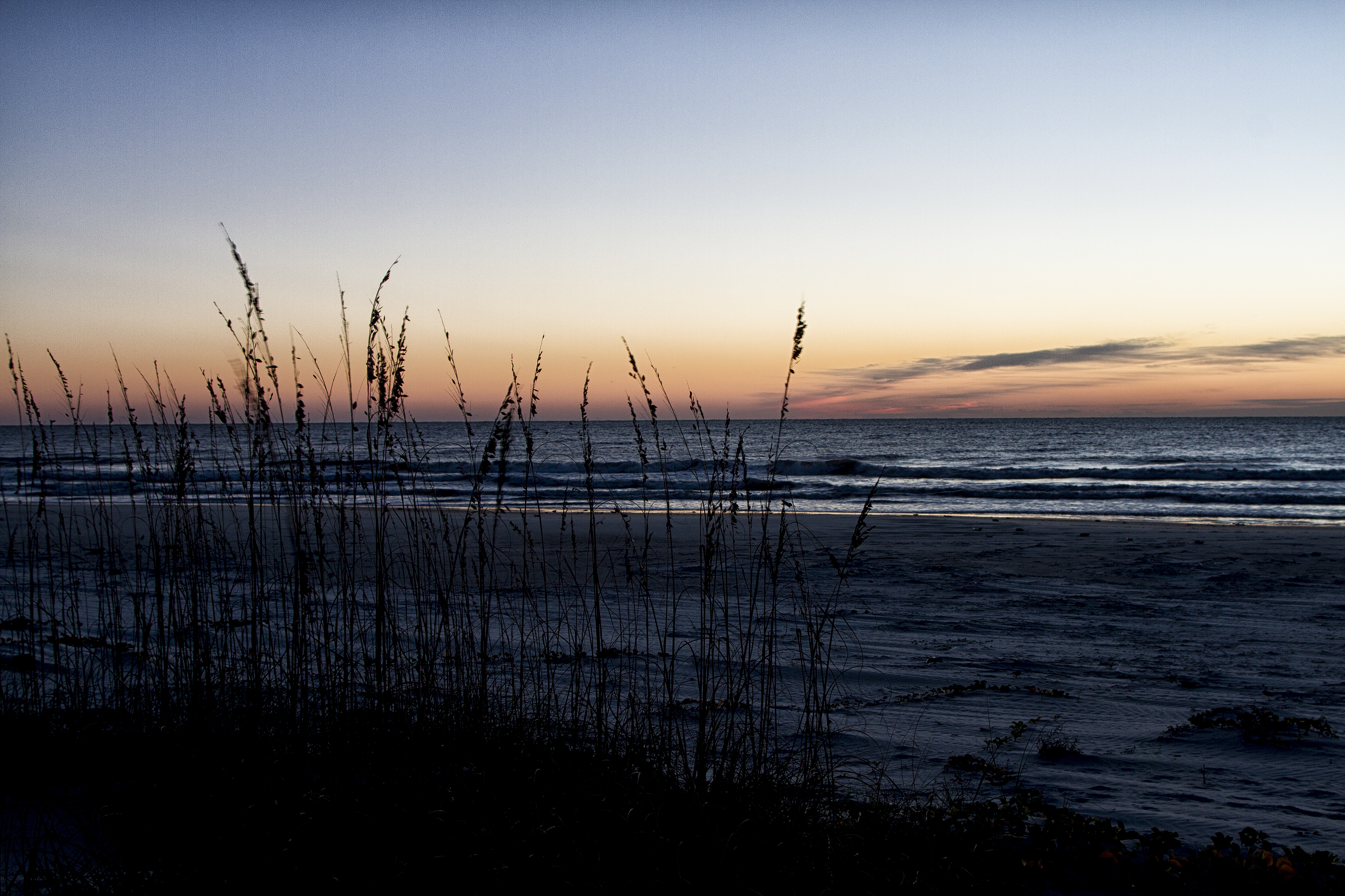
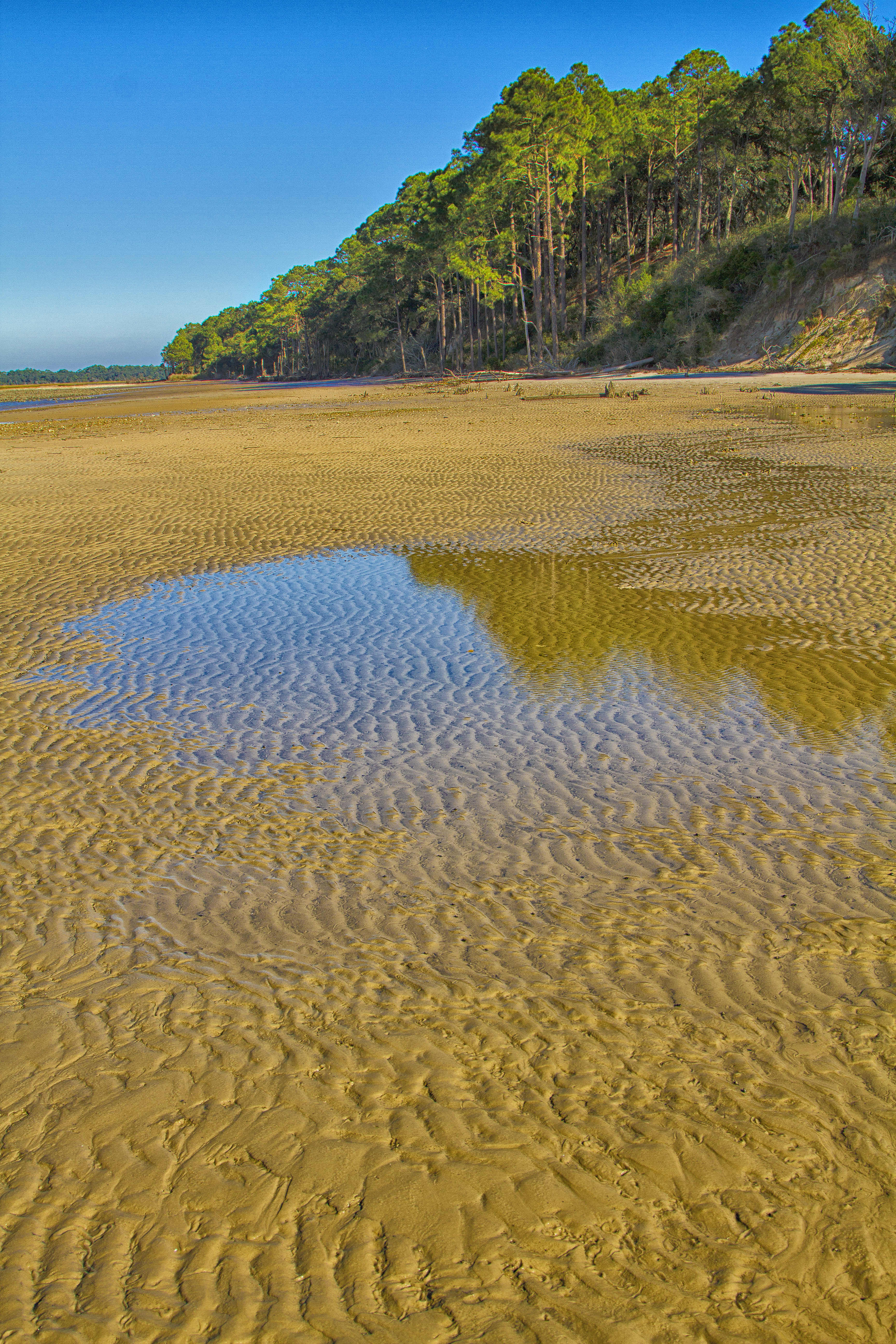
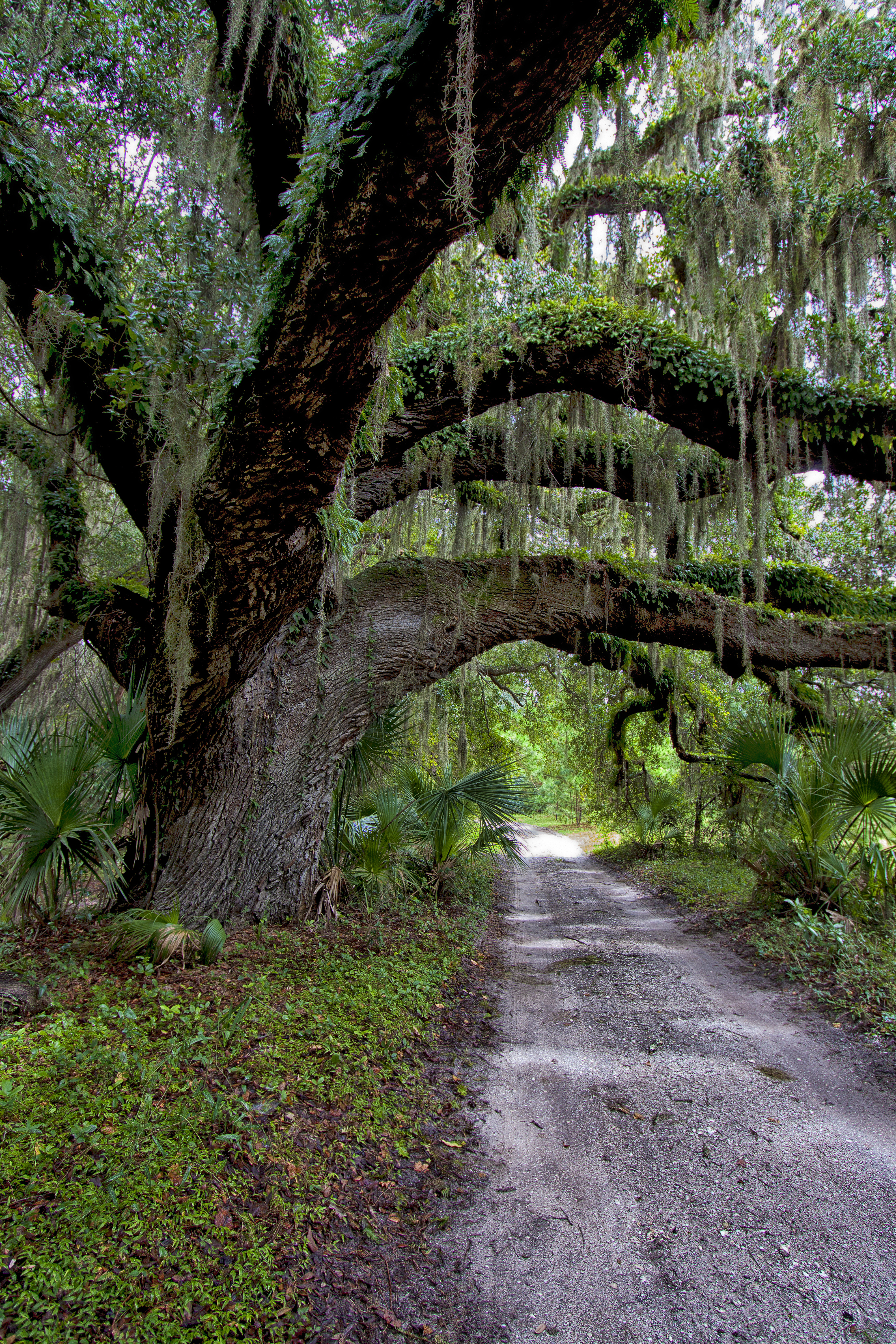
Cumberland Island National Seashore preserves most of Cumberland Island in Camden County, Georgia, the largest of Georgia's Golden Isles. The seashore features beaches and dunes, marshes, and freshwater lakes. The national seashore also preserves and interprets many historic sites and structures.
About Cumberland Island National Seashore
St Marys is the gateway to Cumberland Island, Georgia's largest and southernmost barrier island. Here pristine maritime forests, undeveloped beaches and wide marshes whisper the stories of both man and nature. Natives, missionaries, enslaved African Americans and Wealthy Industrialists all walked here. Cumberland Island is also home to over 9,800 acres of Congressionally designated Wilderness.
Park Photos

Activities
Operating Hours
Cumberland Island National Seashore
The park is open 24 hours a day, all year. The island is only accessible by boat. The visitor center, other facilities, ferry operations, and docks for private boats all have separate hours, however; please see descriptions of those facilities elsewhere.
| mon | tue | wed | thu | fri | sat | sun |
|---|---|---|---|---|---|---|
| Sunrise to Sunset | Sunrise to Sunset | Sunrise to Sunset | Sunrise to Sunset | Sunrise to Sunset | Sunrise to Sunset | Sunrise to Sunset |
Frequently Asked Questions
How much does it cost to enter Cumberland Island National Seashore?
Entrance - Per Person: $15.00. Cumberland Island National Seashore has a per-person entrance fee. This fee is waived for America the Beautiful pass holder plus three adults. Must present pass at time of check-in.
What are the best activities at Cumberland Island National Seashore?
Popular activities at Cumberland Island National Seashore include: Biking, Boating, Camping, Guided Tours, Hiking, Hunting and Gathering, Hunting, Swimming.
What is the weather like at Cumberland Island National Seashore?
Cumberland Island’s climate is hot and humid during summer when temperatures tend to be in the 80's (>26 C) and mild during winter when temperatures tend to be in the 60's (<20 C). The warmest month of the year is July with an average high of 90 degrees F (32 C), while the coldest is January with an average low of 45 degrees F (44 C). Visit the Current Conditions page for an up-to-date local forecast: https://www.nps.gov/cuis/planyourvisit/conditions.htm#weather
How do I get to Cumberland Island National Seashore?
Cumberland Island is only accessible by ferry or private boat. These directions are to the mainland visitor center in St. Marys, GA. Driving Directions To reach the visitor center from Interstate 95: •Take Exit 3 for US 40 •Take US 40 East toward “Historic Downtown St. Marys” •US 40 becomes Osborne Rd. Continue on until you reach the waterfront •Turn right on St. Marys Rd •The visitor center will be two blocks down on your left (113 St. Marys St W, St Marys GA 31558)
Entrance Fees
Cumberland Island National Seashore has a per-person entrance fee. This fee is waived for America the Beautiful pass holder plus three adults. Must present pass at time of check-in.
Weather
Cumberland Island’s climate is hot and humid during summer when temperatures tend to be in the 80's (>26 C) and mild during winter when temperatures tend to be in the 60's (<20 C). The warmest month of the year is July with an average high of 90 degrees F (32 C), while the coldest is January with an average low of 45 degrees F (44 C). Visit the Current Conditions page for an up-to-date local forecast: https://www.nps.gov/cuis/planyourvisit/conditions.htm#weather
Directions
Cumberland Island is only accessible by ferry or private boat. These directions are to the mainland visitor center in St. Marys, GA. Driving Directions To reach the visitor center from Interstate 95: •Take Exit 3 for US 40 •Take US 40 East toward “Historic Downtown St. Marys” •US 40 becomes Osborne Rd. Continue on until you reach the waterfront •Turn right on St. Marys Rd •The visitor center will be two blocks down on your left (113 St. Marys St W, St Marys GA 31558)
📍 View on Google Maps →Location
Official Resources
NPS Official WebsiteMore Parks in Georgia
Other national park sites you might enjoy