Gauley River National Recreation Area
National Recreation Area · West Virginia
NPS Photo

Protected area in West Virginia, United States
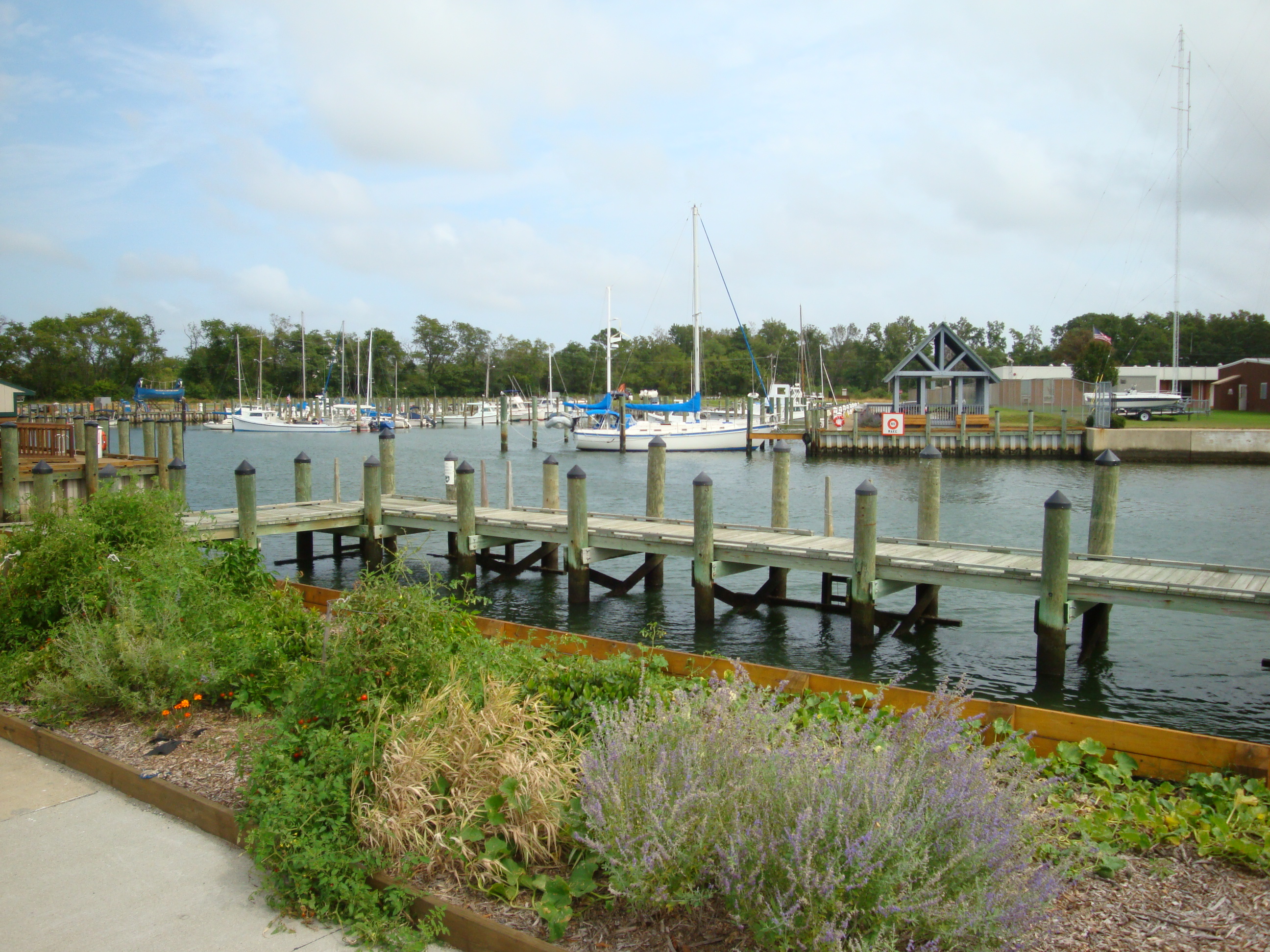
The Gauley River National Recreation Area, located near Summersville, West Virginia, protects a 25-mile (40 km) portion of the Gauley River and a 5.5-mile (8.9 km) segment of the Meadow River in southern West Virginia. Little of the national recreation area is accessible via roads; one must travel via the river. At the upstream end of the park is the Summersville Dam, the only area of the park accessible by vehicle.
About Gauley River National Recreation Area
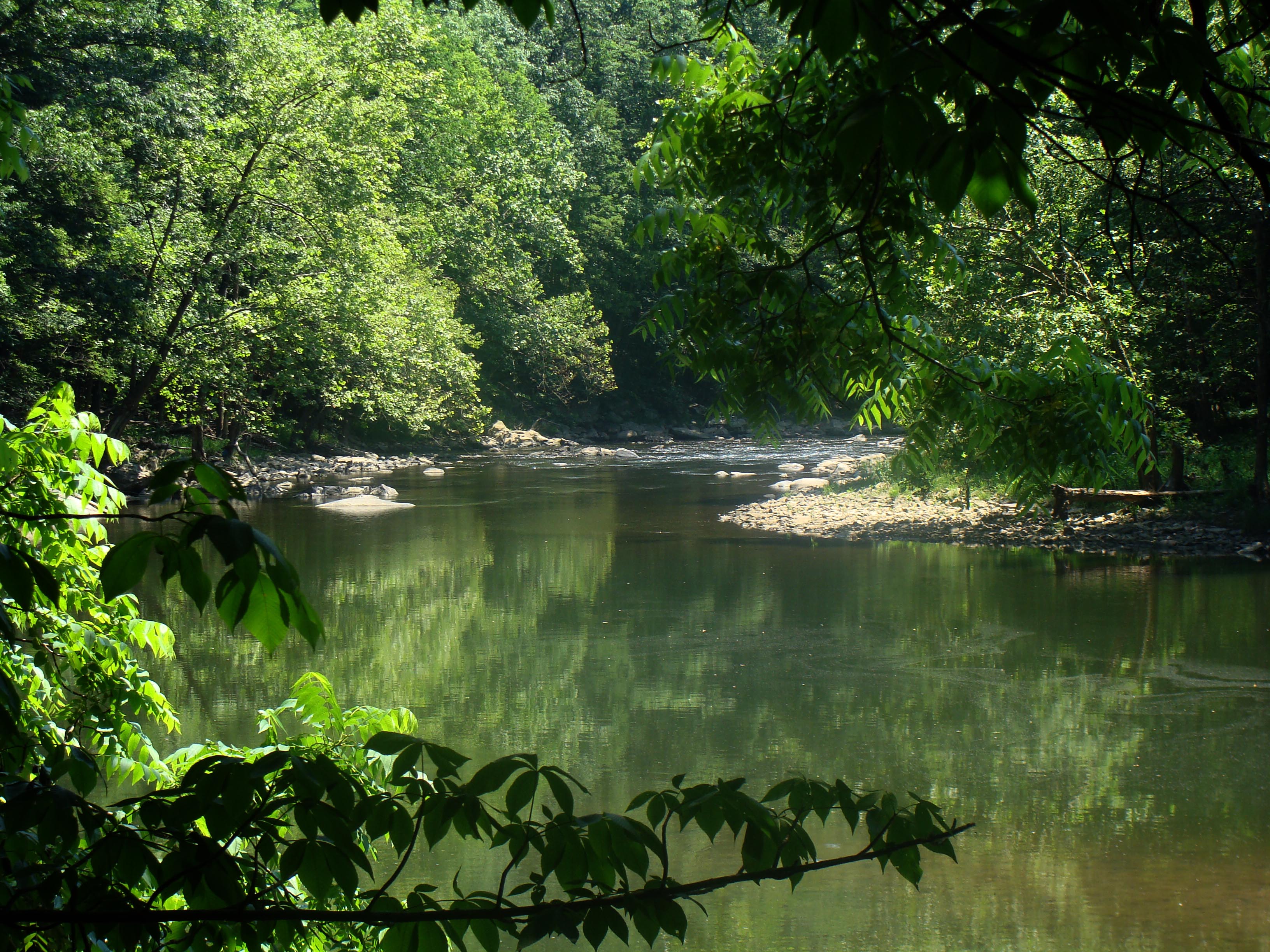
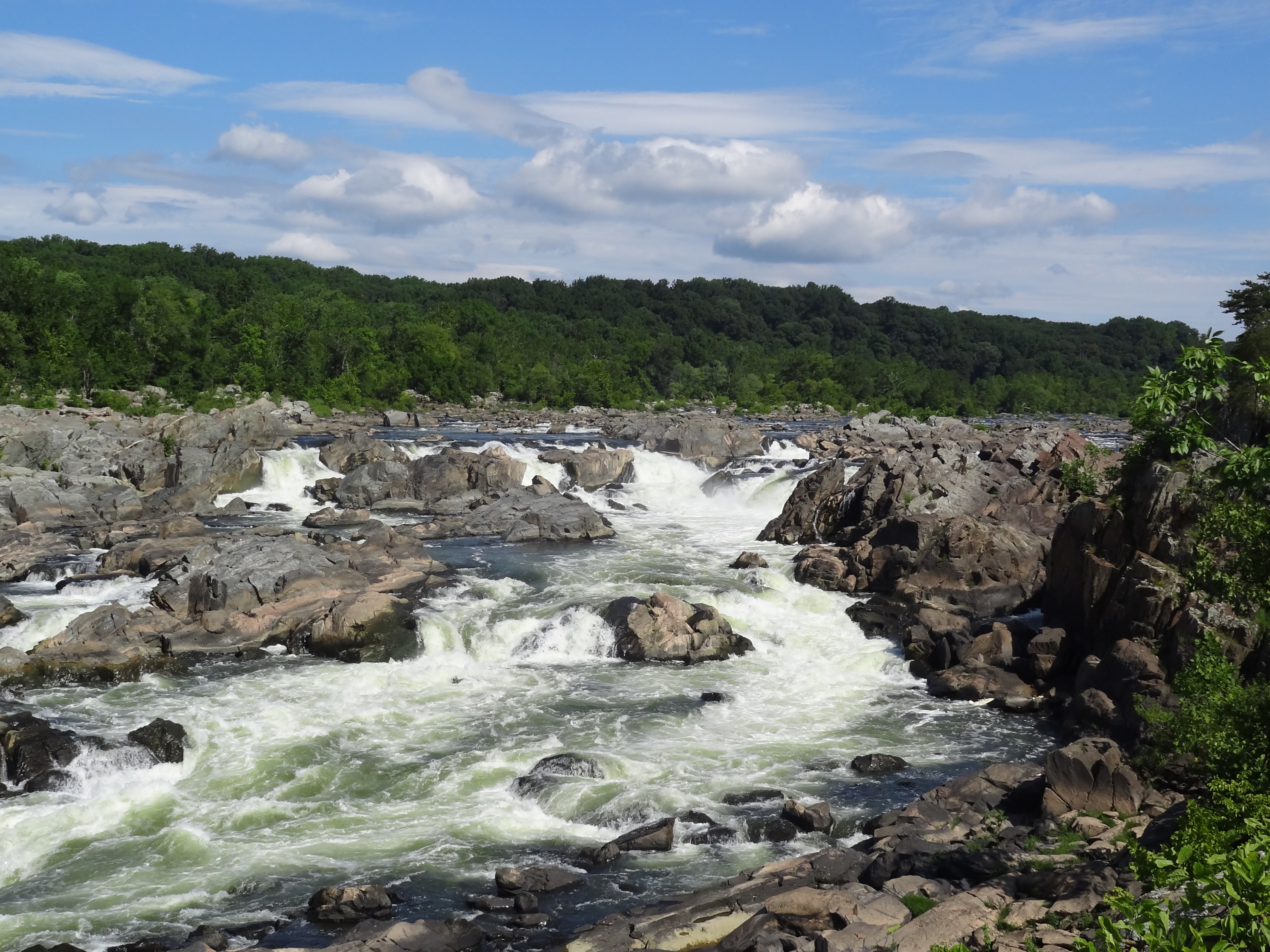
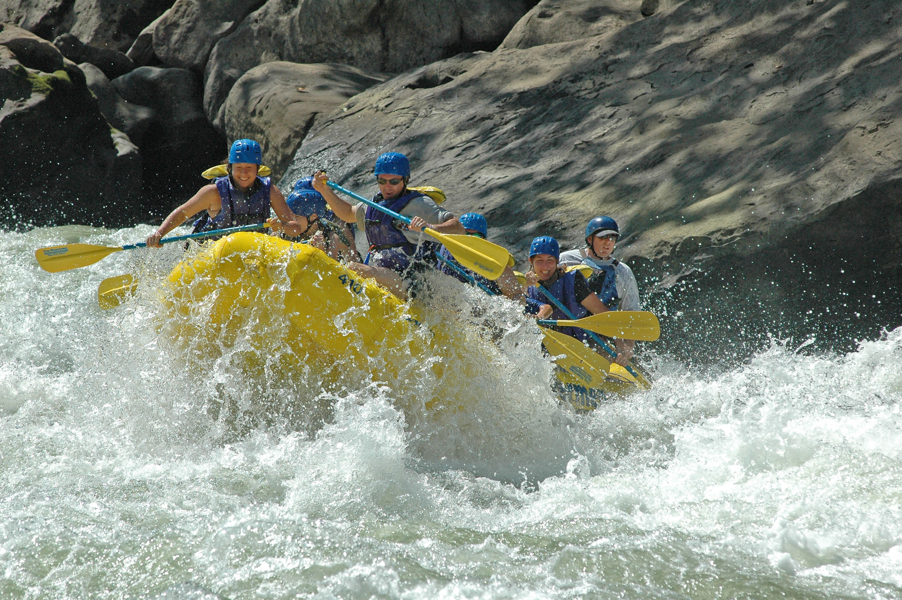
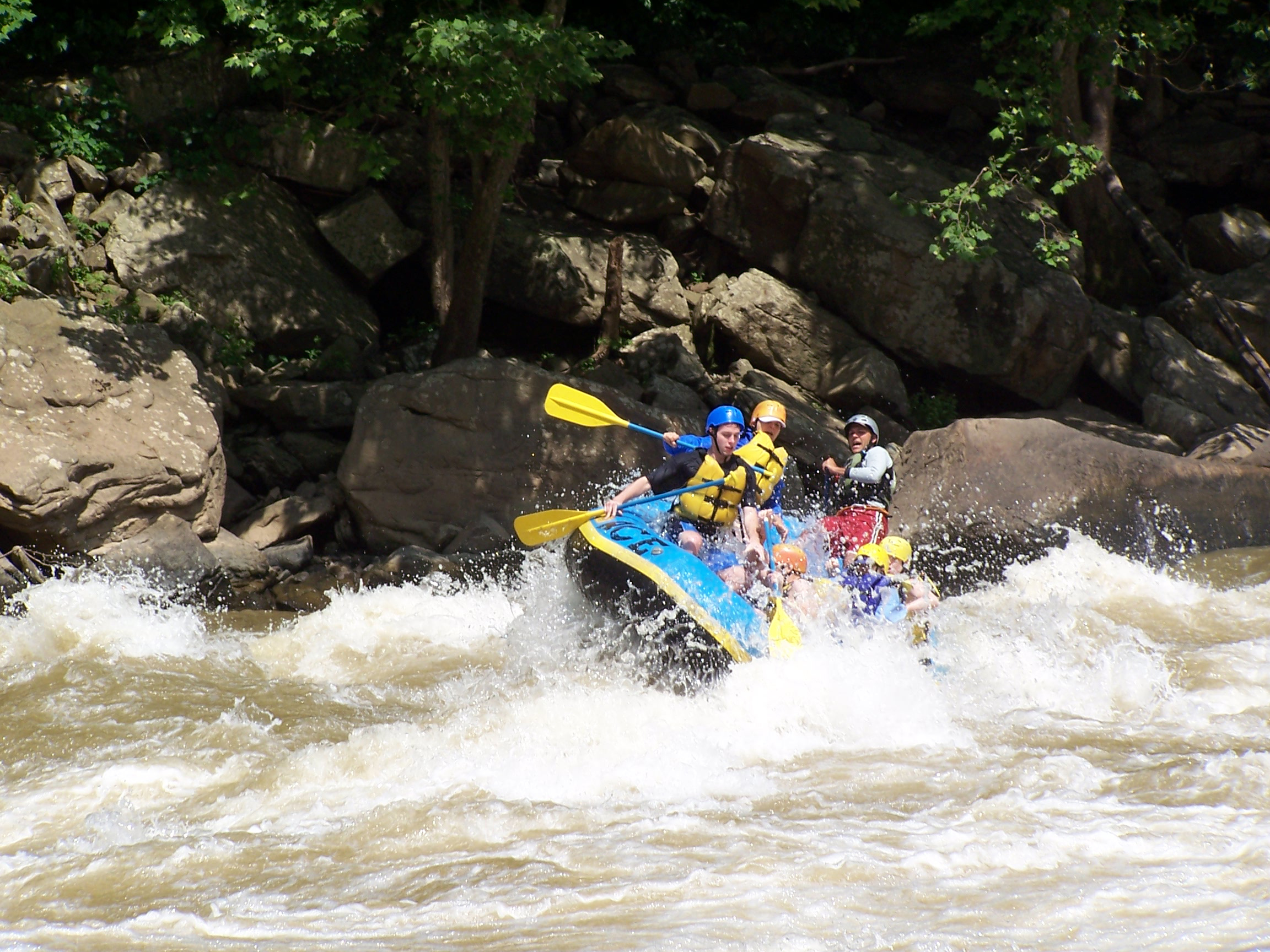
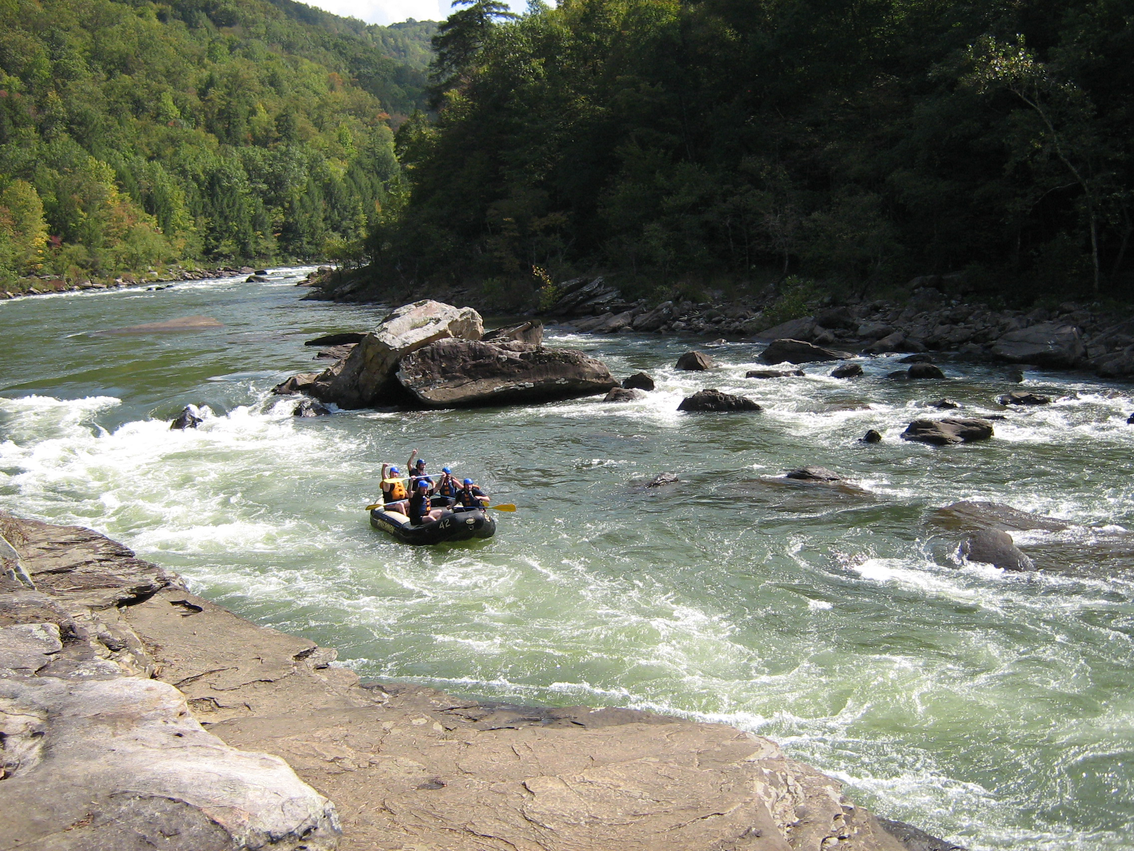
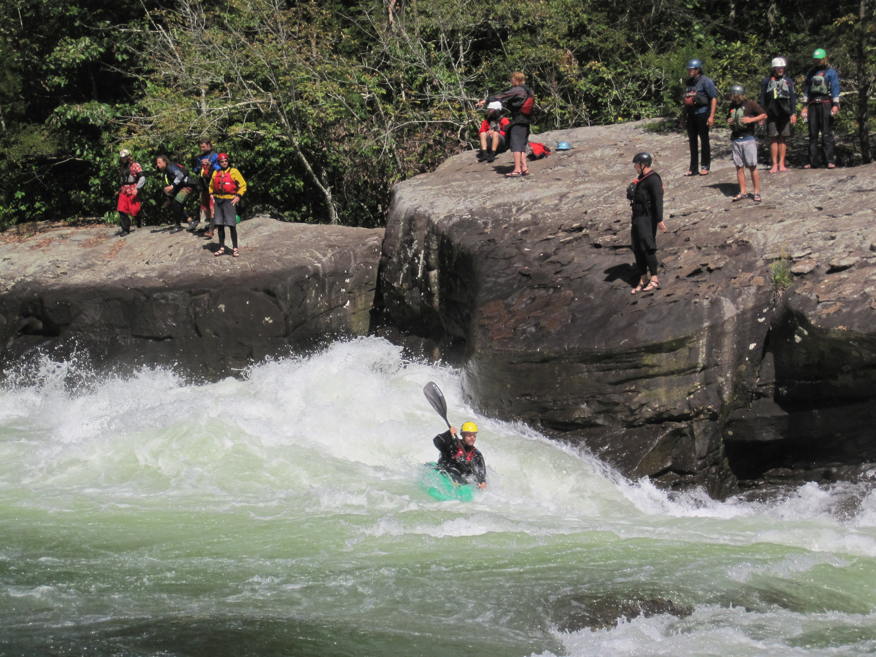
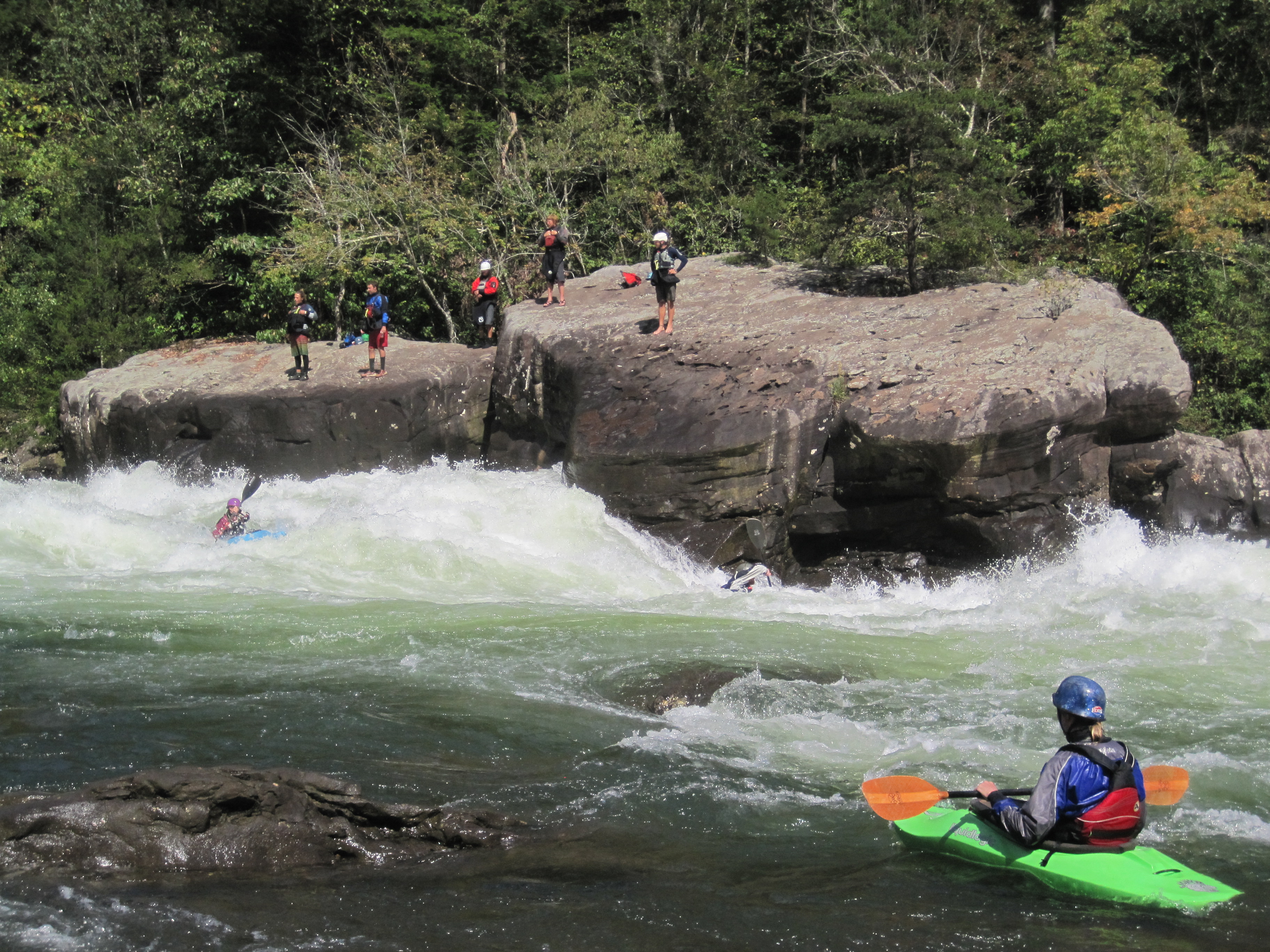
The 25 miles of free-flowing Gauley River and the six miles of the Meadow River pass through scenic gorges and valleys containing a wide variety of natural and cultural features. The Gauley River contains several class V+ rapids, making it one of the most adventurous white water boating rivers in the east.
Park Photos
Activities
Operating Hours
Gauley River National Recreation Area
The area is open year round. The official Gauley boating season is from early September through mid October. Boating is occasionally possible at other times, depending on water releases from Summersville Dam. There is no visitor center for Gauley River National Recreation Area. Please visit the Canyon Rim Visitor Center for New River Gorge National Park and Preserve for information.
| mon | tue | wed | thu | fri | sat | sun |
|---|---|---|---|---|---|---|
| All Day | All Day | All Day | All Day | All Day | All Day | All Day |
Frequently Asked Questions
How much does it cost to enter Gauley River National Recreation Area?
Gauley River National Recreation Area is free to enter.
What are the best activities at Gauley River National Recreation Area?
Popular activities at Gauley River National Recreation Area include: Boating, Camping, Car or Front Country Camping, RV Camping, Fishing, Freshwater Fishing, Paddling, Kayaking.
What is the weather like at Gauley River National Recreation Area?
Weather in the Appalachian Mountains can be unpredictable and can change quickly. Always be prepared for the possibility of sudden storms. Weather in the mountains is often cooler and wetter than the surrounding area. On average, the warmest month is July. The maximum average precipitation also occurs in July.
How do I get to Gauley River National Recreation Area?
Plane The largest airport is at Charleston, about 65 miles from Summersville. There are also small airports at Summersville and Beckley. Car The main entrance to Gauley River National Recreation Area is located off US Route 19 south of Summersville and north of Fayetteville, West Virginia. Turn off US Route 19 onto WV Route 129 toward Summersville Dam. Take the second left after you cross over the dam and follow the signs to Gauley River.
Entrance Fees
Free Admission
Weather
Weather in the Appalachian Mountains can be unpredictable and can change quickly. Always be prepared for the possibility of sudden storms. Weather in the mountains is often cooler and wetter than the surrounding area. On average, the warmest month is July. The maximum average precipitation also occurs in July.
Directions
Plane The largest airport is at Charleston, about 65 miles from Summersville. There are also small airports at Summersville and Beckley. Car The main entrance to Gauley River National Recreation Area is located off US Route 19 south of Summersville and north of Fayetteville, West Virginia. Turn off US Route 19 onto WV Route 129 toward Summersville Dam. Take the second left after you cross over the dam and follow the signs to Gauley River.
📍 View on Google Maps →Location
Official Resources
NPS Official WebsiteMore Parks in West Virginia
Other national park sites you might enjoy