Katahdin Woods and Waters National Monument
National Monument · Maine
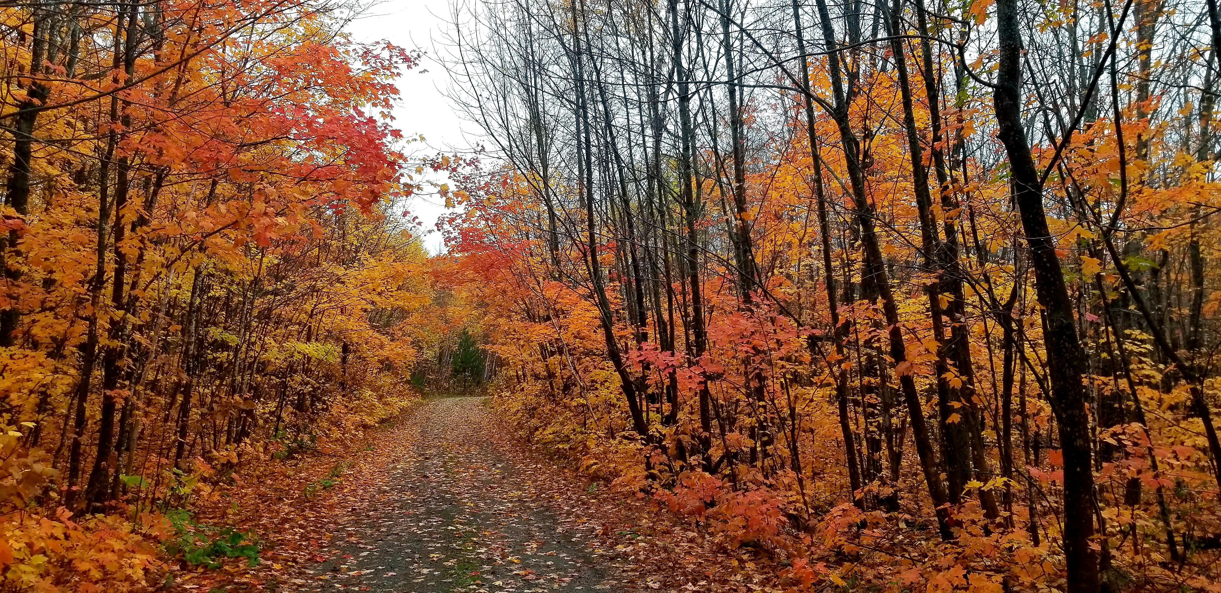
Jason Gablaski

Protected area in Maine, US
Katahdin Woods and Waters National Monument is a U.S. national monument spanning 87,563 acres of mountains and forestland in northern Penobscot County, Maine, including a section of the East Branch Penobscot River. The monument is located on the eastern border of Maine's Baxter State Park. Native animals include moose, bobcats, bald eagles, salmon, and Canada lynx.
About Katahdin Woods and Waters National Monument
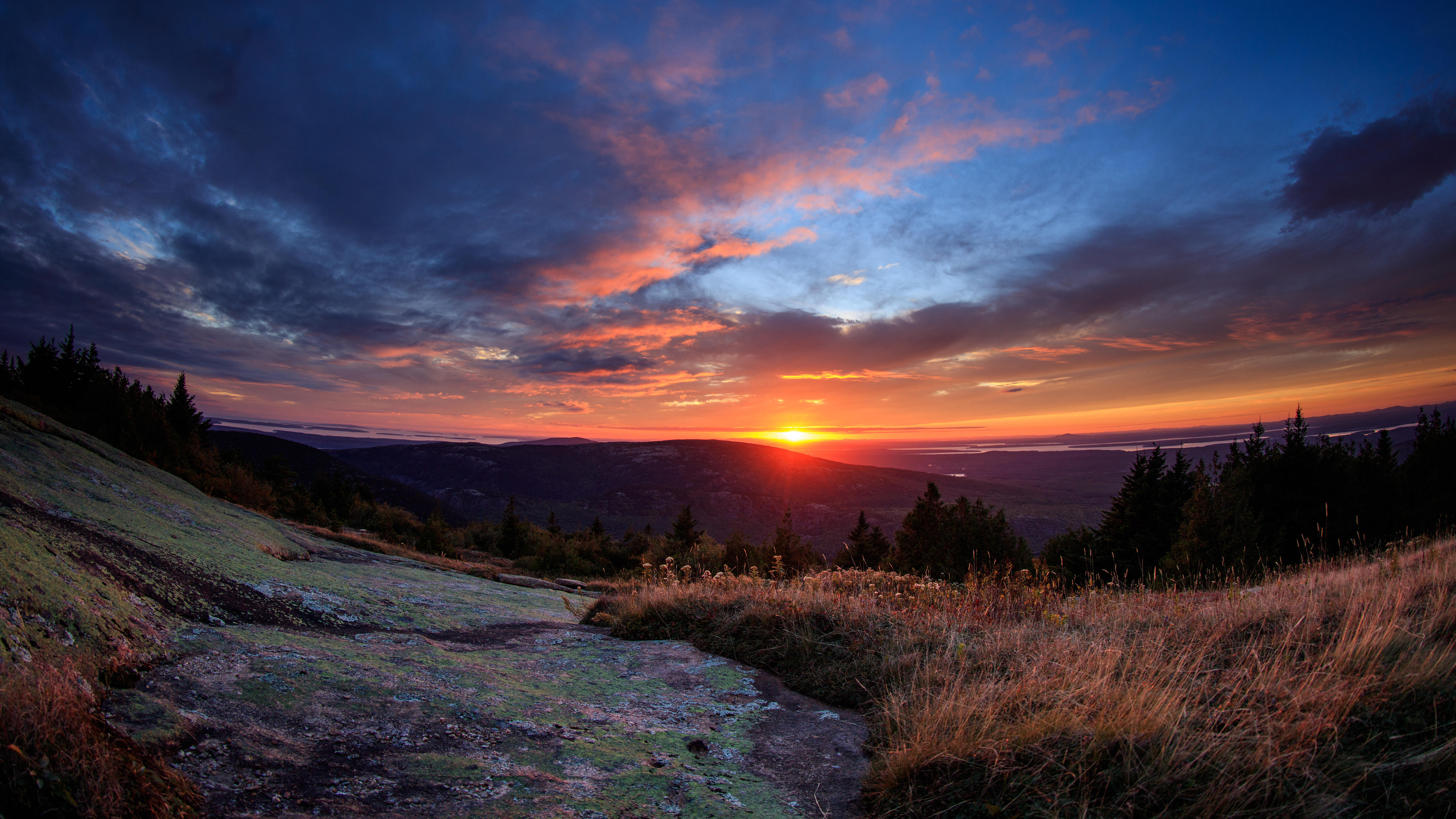
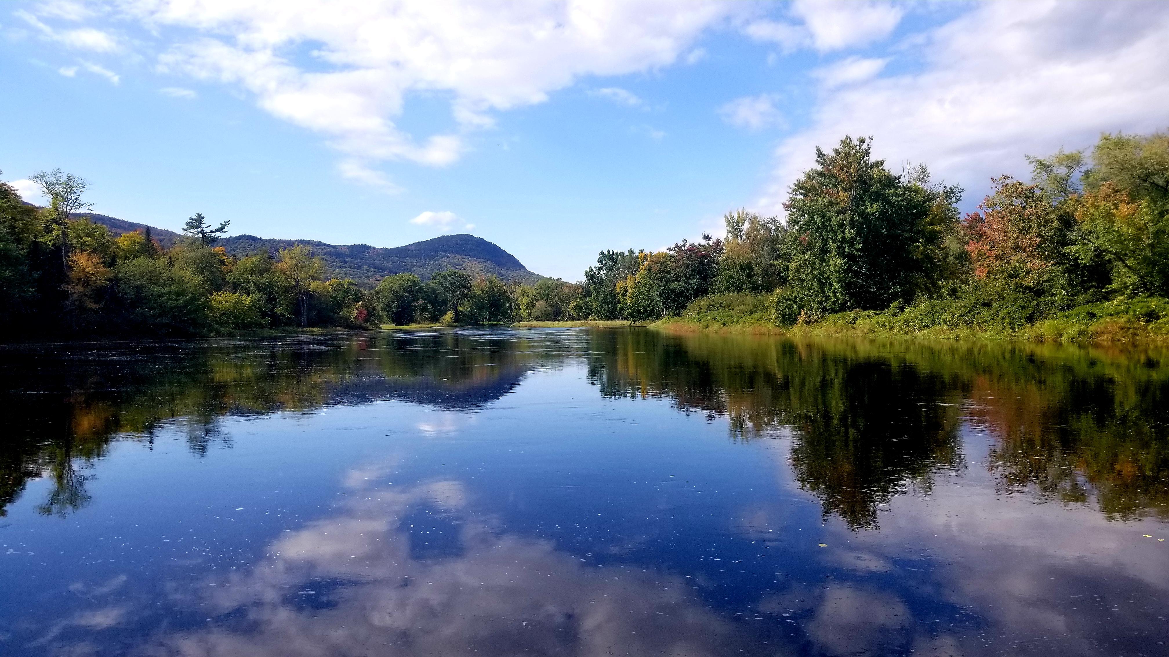
Spread across a wild landscape offering spectacular views of Katahdin, Katahdin Woods and Waters invites discovery of its rivers, streams, woods, flora, fauna, geology, and the night skies that have attracted humans for millennia.
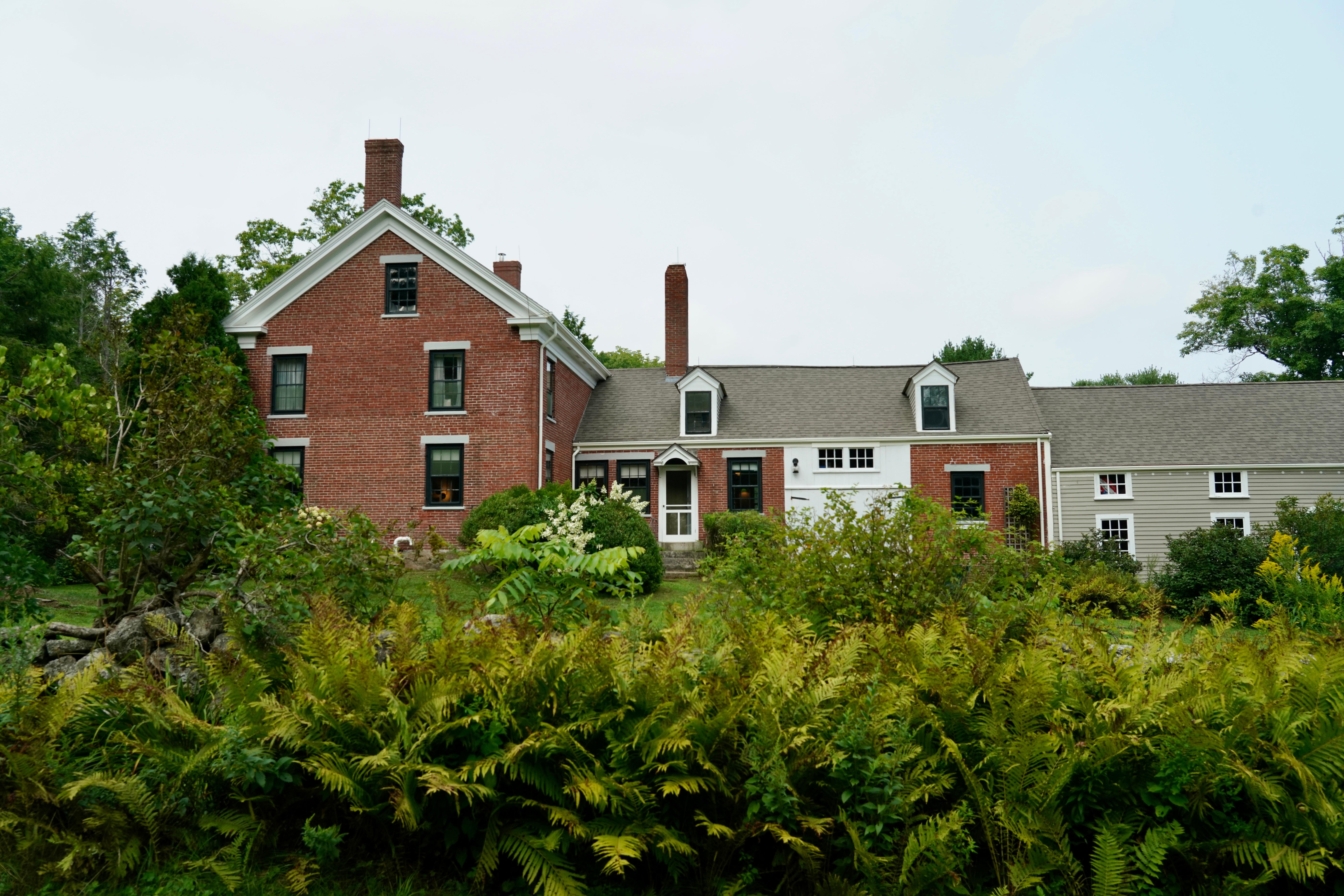
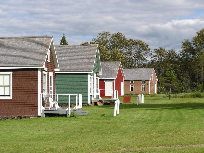
Park Photos
Activities
Operating Hours
Katahdin Woods and Waters National Monument
Katahdin Woods and Waters National Monument is open year-round. From mid-November to late May, the north entrance and Katahdin Loop Road are closed to wheeled vehicles. Two gates on the Swift Brook Road leading to the southern sections of the monument are managed by a neighboring timber company and may be closed to wheeled vehicles as well from mid-November to late May.
| mon | tue | wed | thu | fri | sat | sun |
|---|---|---|---|---|---|---|
| All Day | All Day | All Day | All Day | All Day | All Day | All Day |
North Entrance
The north entrance to Katahdin Woods and Waters National Monument is reached by turning on Messer Pond Road (also known as New River Road) from Maine Route 159/Grand Lake Road. This entrance is typically open to wheeled vehicle traffic from late May-late October.
| mon | tue | wed | thu | fri | sat | sun |
|---|---|---|---|---|---|---|
| All Day | All Day | All Day | All Day | All Day | All Day | All Day |
South Entrance
The south entrance to Katahdin Woods and Waters National Monument is reached via Maine Route 11 and Swift Brook Road. This entrance is typically open to wheeled vehicle traffic from late May-late October. Swift Brook Road is a private logging road. Two gates across this private logging road leading into the monument are managed by a neighboring timber company that determines when road conditions are appropriate to open the gates for the summer season.
| mon | tue | wed | thu | fri | sat | sun |
|---|---|---|---|---|---|---|
| All Day | All Day | All Day | All Day | All Day | All Day | All Day |
Katahdin Loop Road
The Katahdin Loop Road is typically open to wheeled vehicle traffic from late May-late October. The Loop Road is accessed via Maine Route 11 and Swift Brook Road. Swift Brook Road is a private logging road and a neighboring timber company manages the two gates on the road leading into the monument. The timber company determines when the gates will open and close for the season depending on road conditions. The National Park Service manages the gate to the Katahdin Loop Road.
| mon | tue | wed | thu | fri | sat | sun |
|---|---|---|---|---|---|---|
| All Day | All Day | All Day | All Day | All Day | All Day | All Day |
Frequently Asked Questions
How much does it cost to enter Katahdin Woods and Waters National Monument?
Katahdin Woods and Waters National Monument is free to enter.
What are the best activities at Katahdin Woods and Waters National Monument?
Popular activities at Katahdin Woods and Waters National Monument include: Astronomy, Stargazing, Biking, Camping, Fishing, Hiking, Backcountry Hiking, Front-Country Hiking.
What is the weather like at Katahdin Woods and Waters National Monument?
Northern Maine experiences all four seasons. Summer temperatures range from 45-90F (7-30C). Fall temperatures range from 30-70F (-1-21C). Typically, the first frost is in mid-October and first snowfall begins in November and can continue through April with an average accumulation of 73 inches (185 cm). Winter temperatures range from 14-35F (-10 - 2C). Spring temperatures range from 30-70F (-1-21C).
How do I get to Katahdin Woods and Waters National Monument?
Katahdin Woods and Waters National Monument is located in north central Maine. Drive approximately 1.5 hours north of Bangor, Maine to reach Route 11 (Katahdin Woods and Waters Scenic Byway). Route 11 is the main route to the entrances to the park. Take Route 11 to Route 159 and Grand Lake Road to access the North Entrance. Follow Route 11 to Swift Brook Road to enter the South Entrance. Take Route 11 to Route 159 and American Thread Road to access the Seboeis Parcel.
Entrance Fees
Free Admission
Weather
Northern Maine experiences all four seasons. Summer temperatures range from 45-90F (7-30C). Fall temperatures range from 30-70F (-1-21C). Typically, the first frost is in mid-October and first snowfall begins in November and can continue through April with an average accumulation of 73 inches (185 cm). Winter temperatures range from 14-35F (-10 - 2C). Spring temperatures range from 30-70F (-1-21C).
Directions
Katahdin Woods and Waters National Monument is located in north central Maine. Drive approximately 1.5 hours north of Bangor, Maine to reach Route 11 (Katahdin Woods and Waters Scenic Byway). Route 11 is the main route to the entrances to the park. Take Route 11 to Route 159 and Grand Lake Road to access the North Entrance. Follow Route 11 to Swift Brook Road to enter the South Entrance. Take Route 11 to Route 159 and American Thread Road to access the Seboeis Parcel.
📍 View on Google Maps →Location
Official Resources
NPS Official WebsiteMore Parks in Maine
Other national park sites you might enjoy