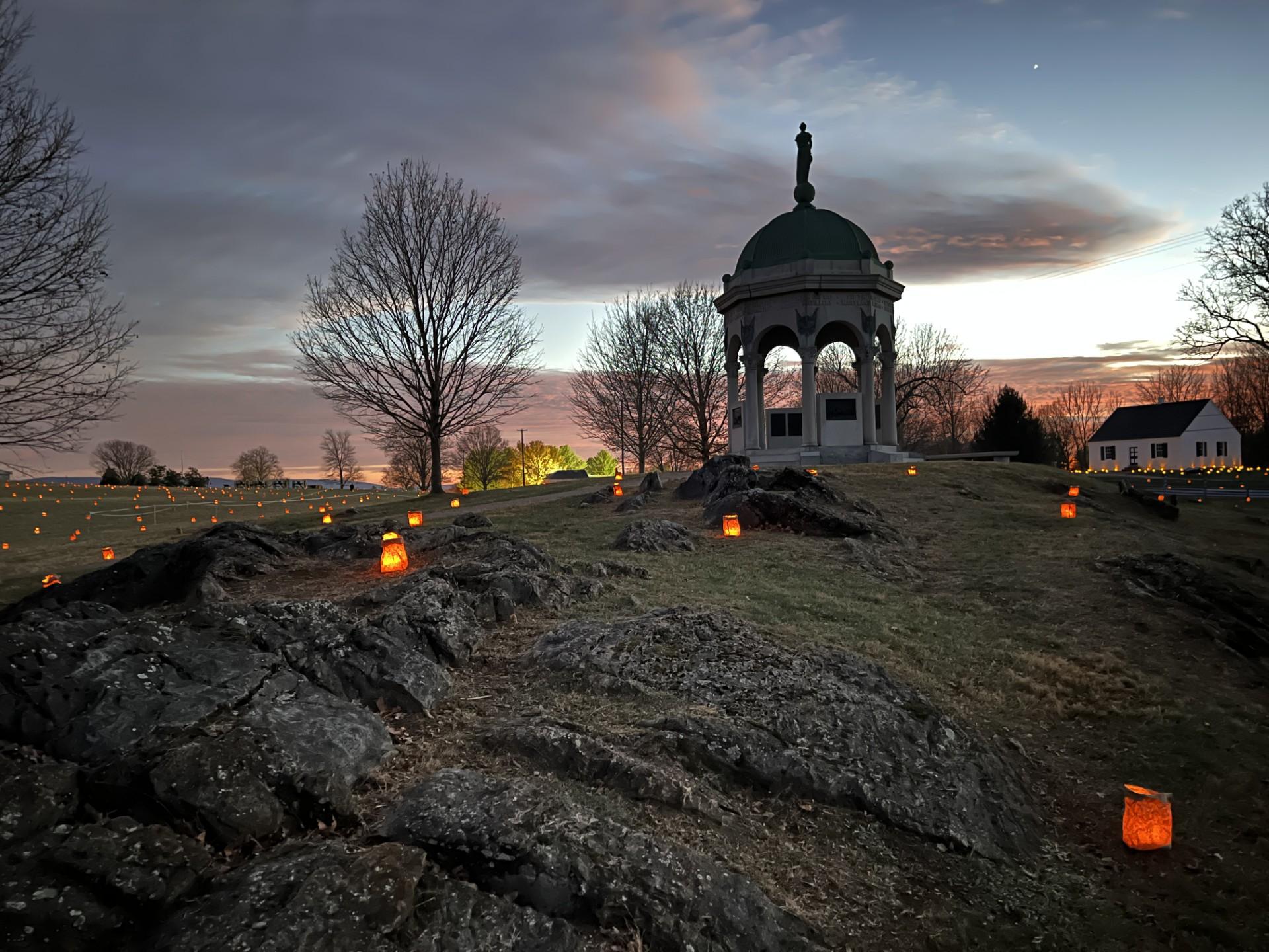
Monocacy National Battlefield
National Battlefield · Maryland
NPS Photo
Historic battlefield in Maryland, USA
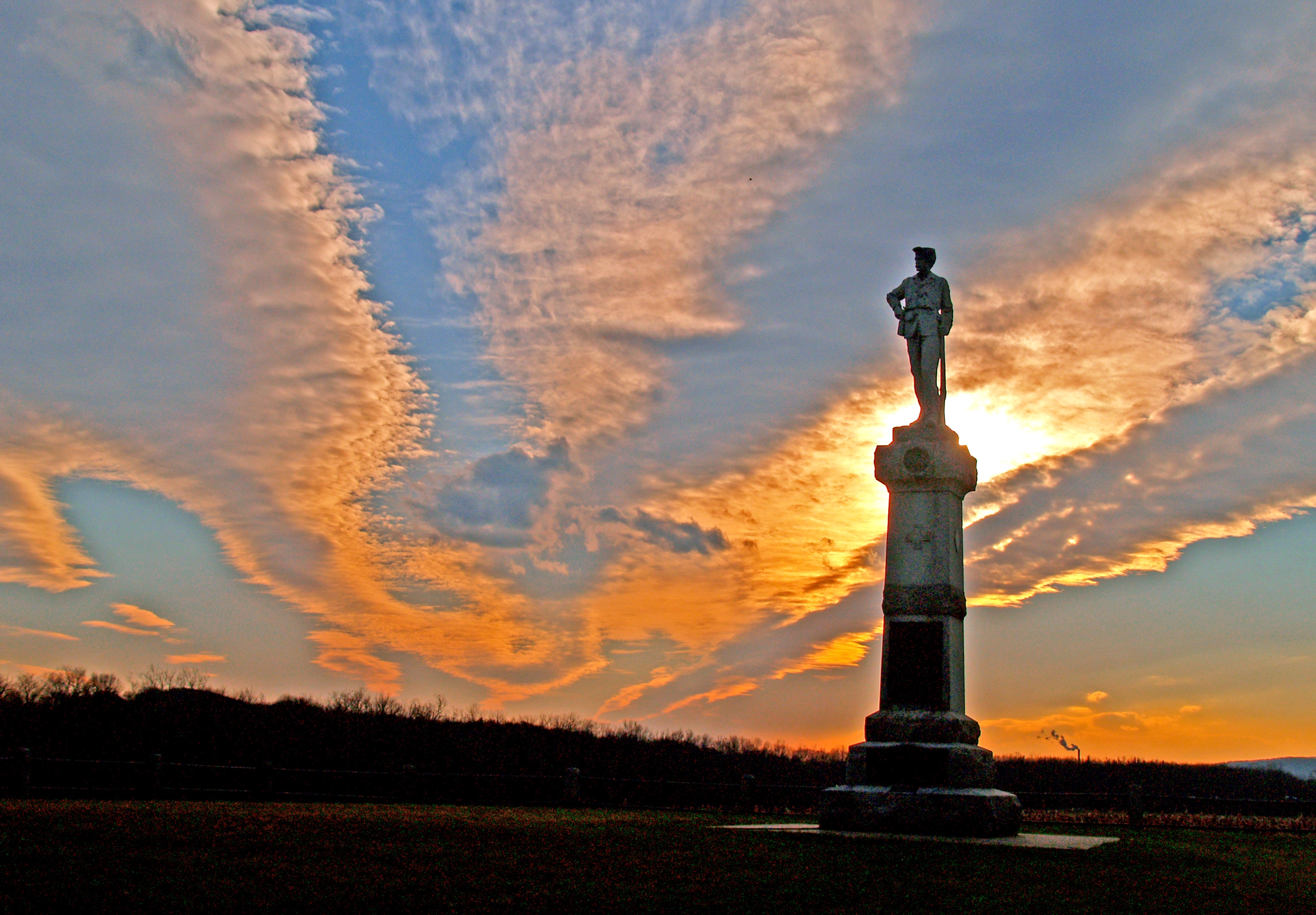
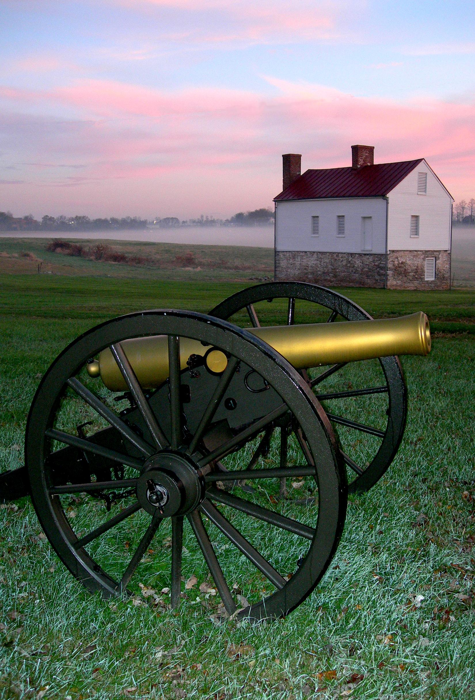
Monocacy National Battlefield is a unit of the National Park Service, the site of the Battle of Monocacy in the American Civil War fought on July 9, 1864. The battlefield straddles the Monocacy River southeast of the city of Frederick, Maryland. The battle, labeled "The Battle That Saved Washington," was one of the last the Confederates would carry out in Union territory. The two opposing leaders were General Jubal Early, fighting for the South, and General Lew Wallace, fighting for the North.
About Monocacy National Battlefield
During the summer of 1864, the Confederacy carried out a bold plan to turn the tide of the Civil War in their favor. They planned to capture Washington, DC and influence the election of 1864. On July 9, however, Federal soldiers outnumbered three to one, fought gallantly along the banks of the Monocacy River in an effort to buy time for Union reinforcement to arrive in Washington, DC.
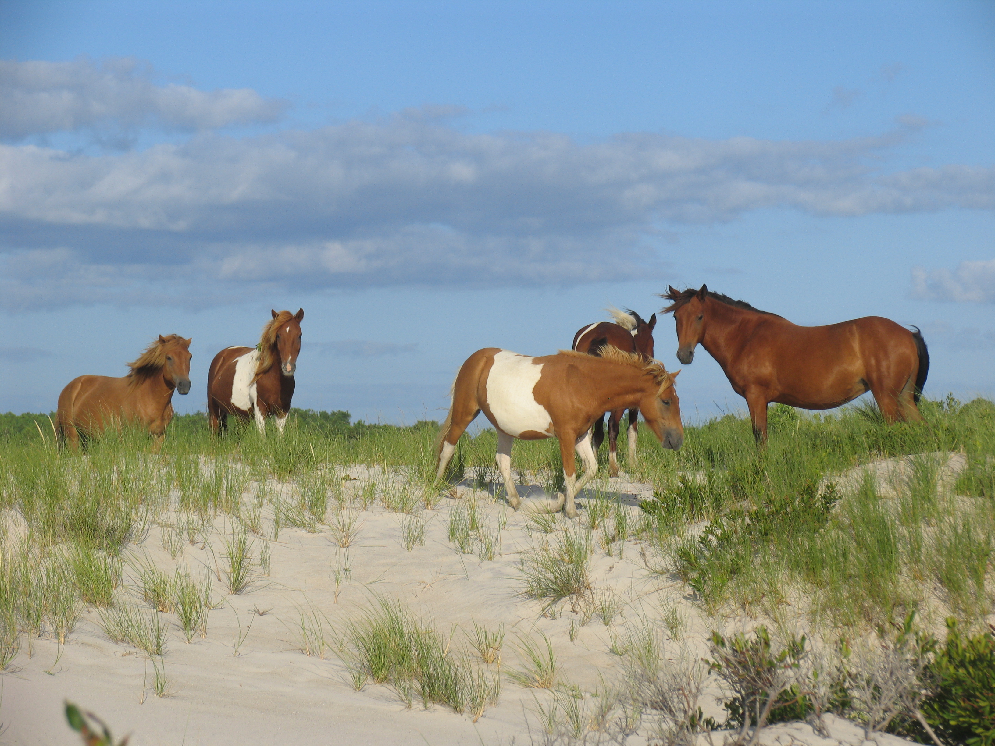
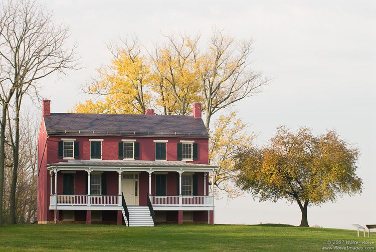
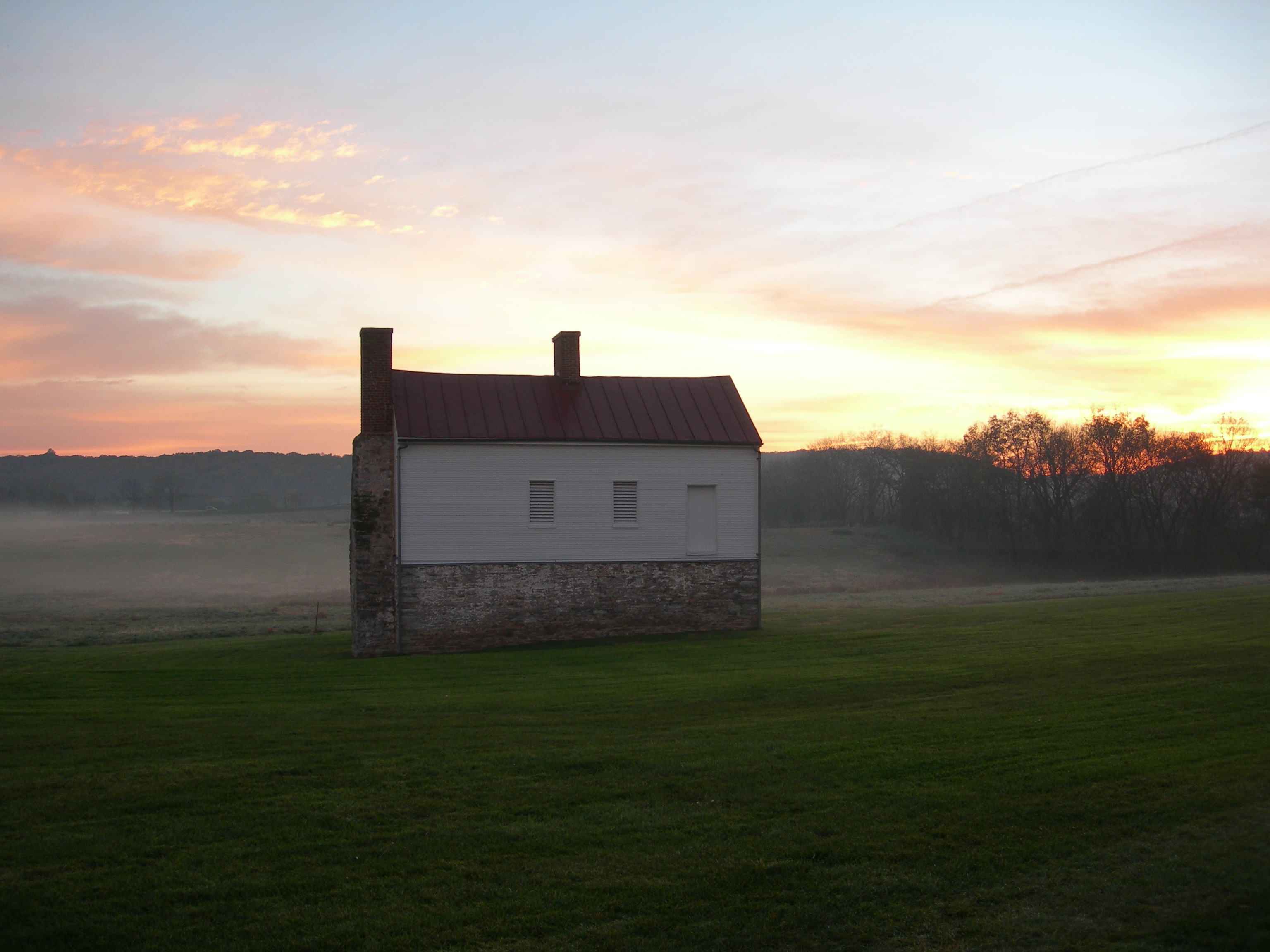
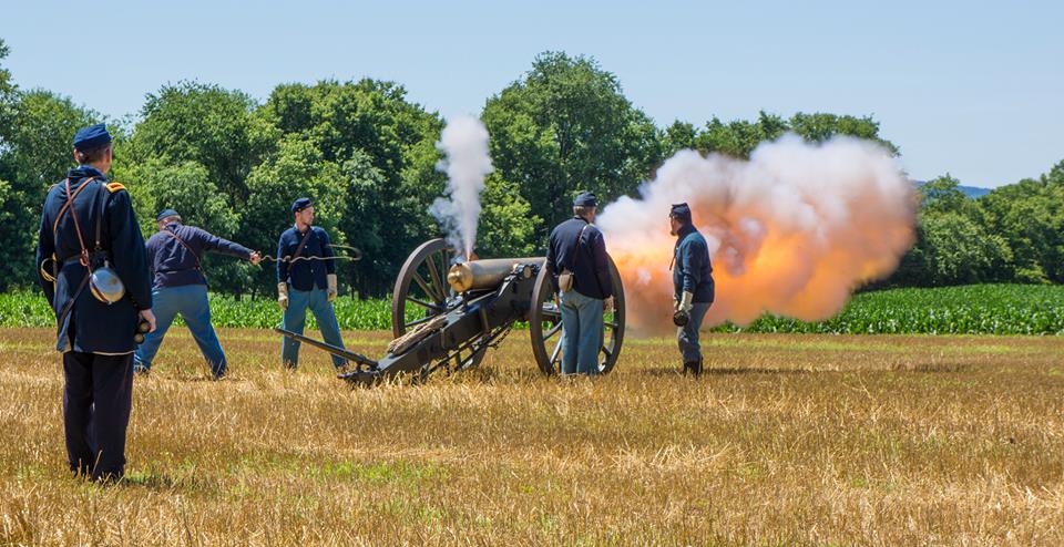
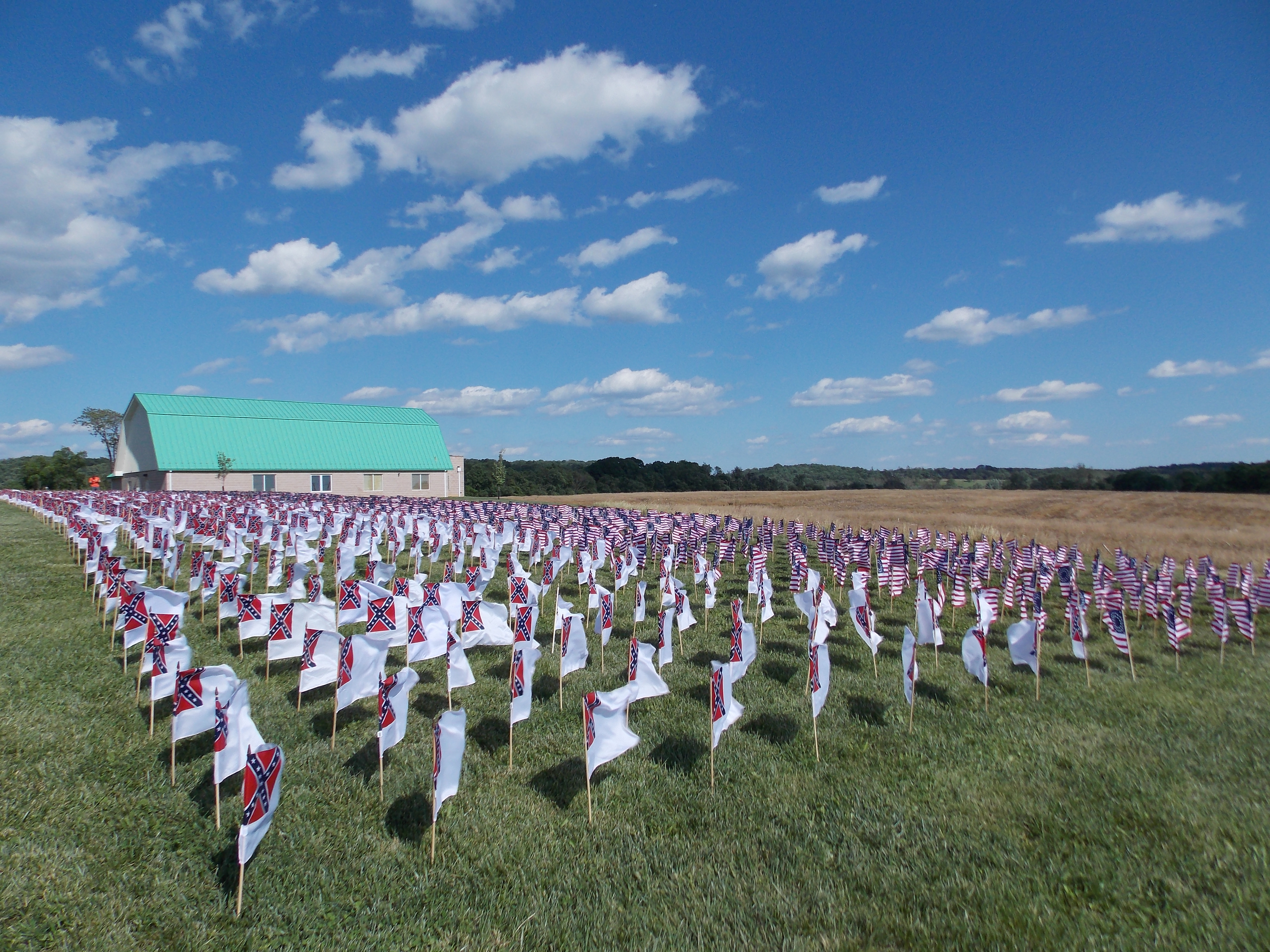
Park Photos
Activities
Operating Hours
Monocacy National Battlefield
The park grounds are open daily from 7:30 until 20 minutes after sunset.
| mon | tue | wed | thu | fri | sat | sun |
|---|---|---|---|---|---|---|
| 7:30AM - Sunset | 7:30AM - Sunset | 7:30AM - Sunset | 7:30AM - Sunset | 7:30AM - Sunset | 7:30AM - Sunset | 7:30AM - Sunset |
Frequently Asked Questions
How much does it cost to enter Monocacy National Battlefield?
Monocacy National Battlefield is free to enter.
What are the best activities at Monocacy National Battlefield?
Popular activities at Monocacy National Battlefield include: Auto and ATV, Scenic Driving, Guided Tours, Self-Guided Tours - Walking, Self-Guided Tours - Auto, Hiking, Front-Country Hiking, Living History.
What is the weather like at Monocacy National Battlefield?
Spring (March - May) Temperatures: Average high is 67 degrees with a low of 53 degrees Summer (June - August) Temperatures: Average high is 87 degrees with a low of 65 degrees Fall (September - November) Temperatures: Average high is 68 degrees with a low of 48 degrees Winter (December - February) Temperatures: Average high is 45 degrees with a low of 27 degrees (Source: www.usclimatedata.com)
How do I get to Monocacy National Battlefield?
From the North (U.S. 15) or West (Hagerstown): Use I-70 east and take Exit 54. Bear right then take a left onto Rt. 355. The visitor center will be on the left. From the East (Baltimore): Use I-70 west and take Exit 54. Bear left then take a left onto Rt. 355. The visitor center will be on the left. From the South (Washington): Use I-270 north to I-70 east and take Exit 54. Bear right then take a left onto Rt. 355. The visitor center will be on the the left.
Entrance Fees
Free Admission
Weather
Spring (March - May) Temperatures: Average high is 67 degrees with a low of 53 degrees Summer (June - August) Temperatures: Average high is 87 degrees with a low of 65 degrees Fall (September - November) Temperatures: Average high is 68 degrees with a low of 48 degrees Winter (December - February) Temperatures: Average high is 45 degrees with a low of 27 degrees (Source: www.usclimatedata.com)
Directions
From the North (U.S. 15) or West (Hagerstown): Use I-70 east and take Exit 54. Bear right then take a left onto Rt. 355. The visitor center will be on the left. From the East (Baltimore): Use I-70 west and take Exit 54. Bear left then take a left onto Rt. 355. The visitor center will be on the left. From the South (Washington): Use I-270 north to I-70 east and take Exit 54. Bear right then take a left onto Rt. 355. The visitor center will be on the the left.
📍 View on Google Maps →Location
Official Resources
NPS Official WebsiteMore Parks in Maryland
Other national park sites you might enjoy