Salem Maritime National Historical Park
National Historical Park · Massachusetts
NPS Photo / Robert Grant

National Historical Park of the United States
The Salem Maritime National Historical Park is a National Historical Park consisting of 12 historic structures, one replica tall-ship, and about 9 acres of land along the waterfront of Salem Harbor in Salem, Massachusetts, United States. Salem Maritime was the first National Historic Site established in the United States, but was redesignated as the Salem Maritime National Historical Park on July 16, 2025. It interprets the Triangle Trade during the colonial period, in cotton, rum, sugar and slaves; the actions of privateers during the American Revolution; and global maritime trade with the Far East, after independence. The National Park Service manages both the National Historical Park and a Regional Visitor Center in downtown Salem. The National Park Service (NPS) is an agency of the United States Department of the Interior.
About Salem Maritime National Historical Park
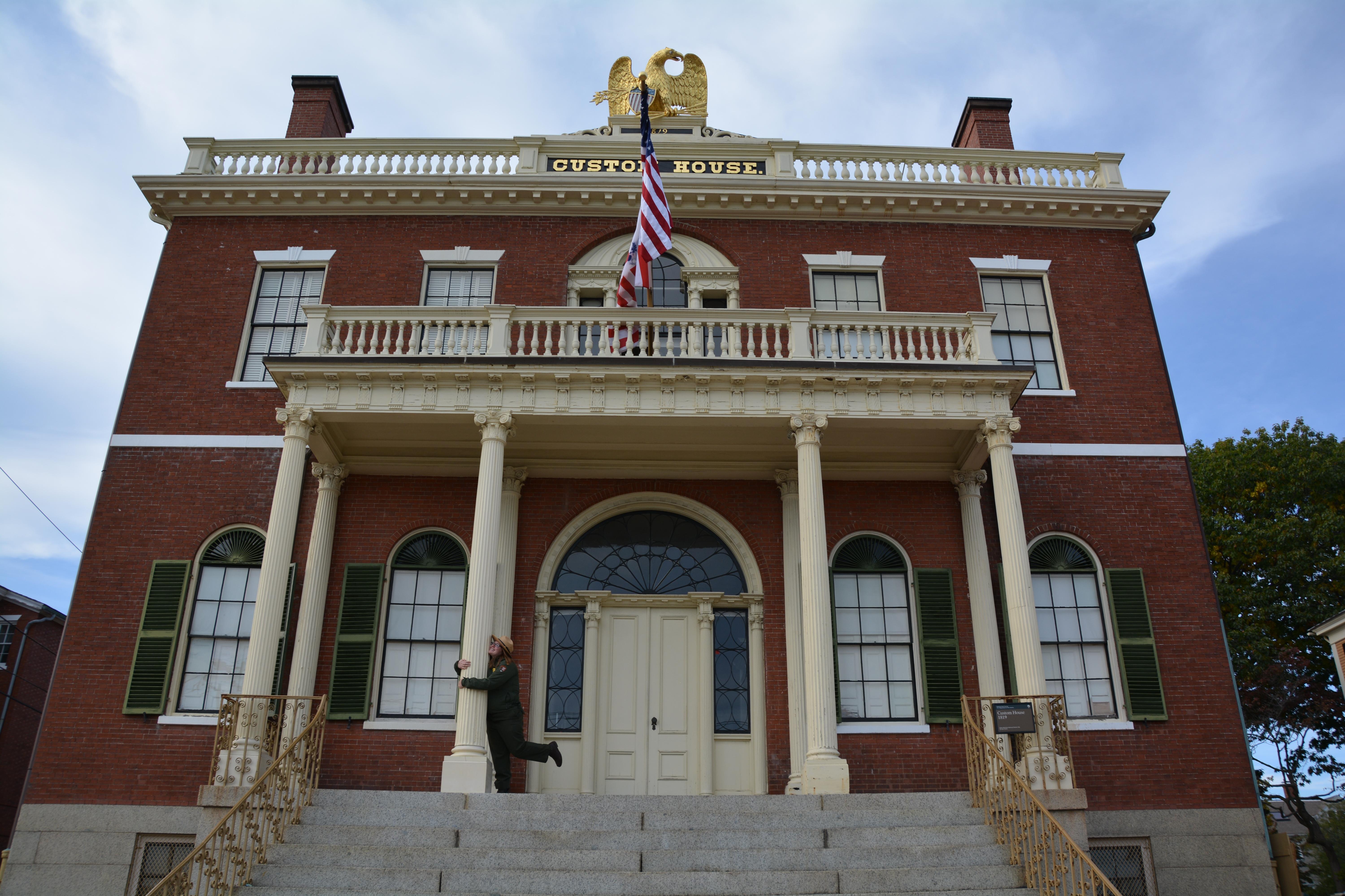
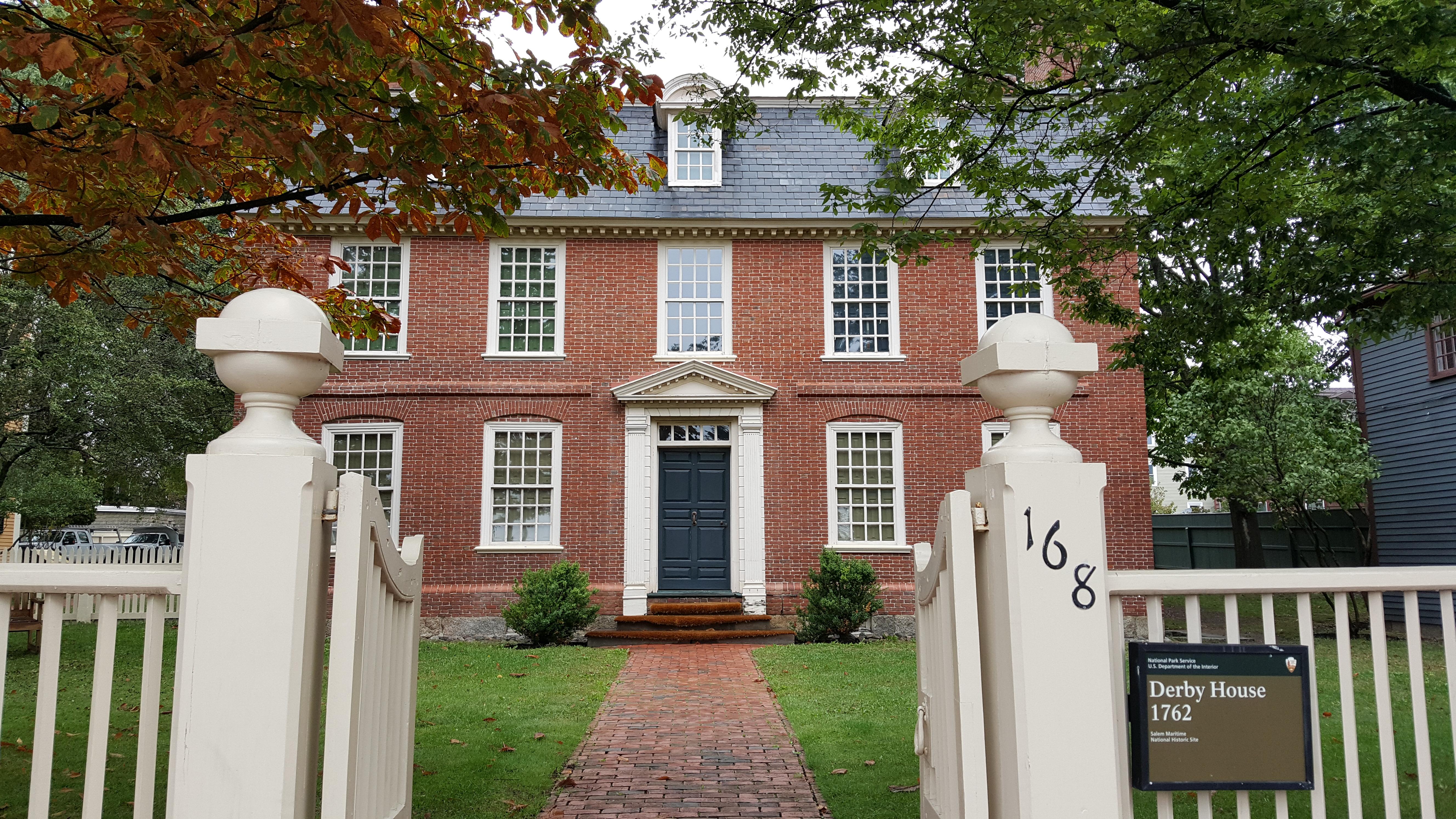
Originally established in 1938 as the first National Historic Site in the United States, Salem Maritime National Historical Park consists of nine acres of land and twelve historic structures along the Salem waterfront, as well as a downtown visitor center. Located in the urban setting of Salem, the park preserves and interprets over 600 years of New England's maritime history and global stories.
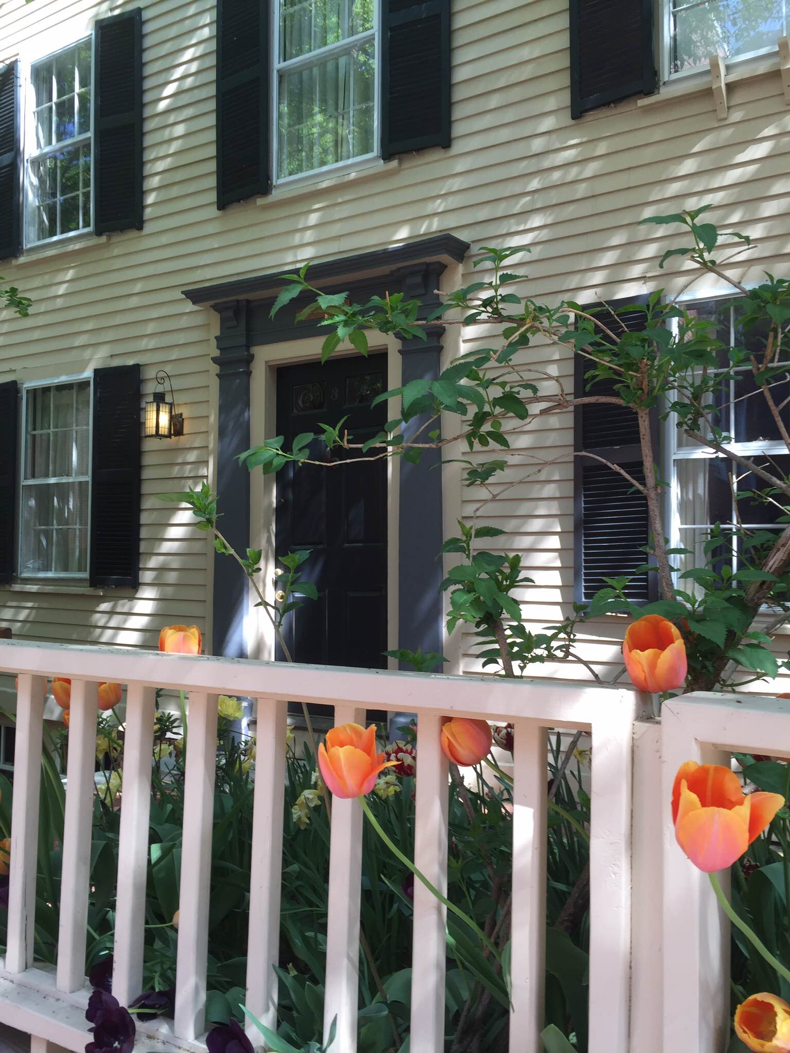
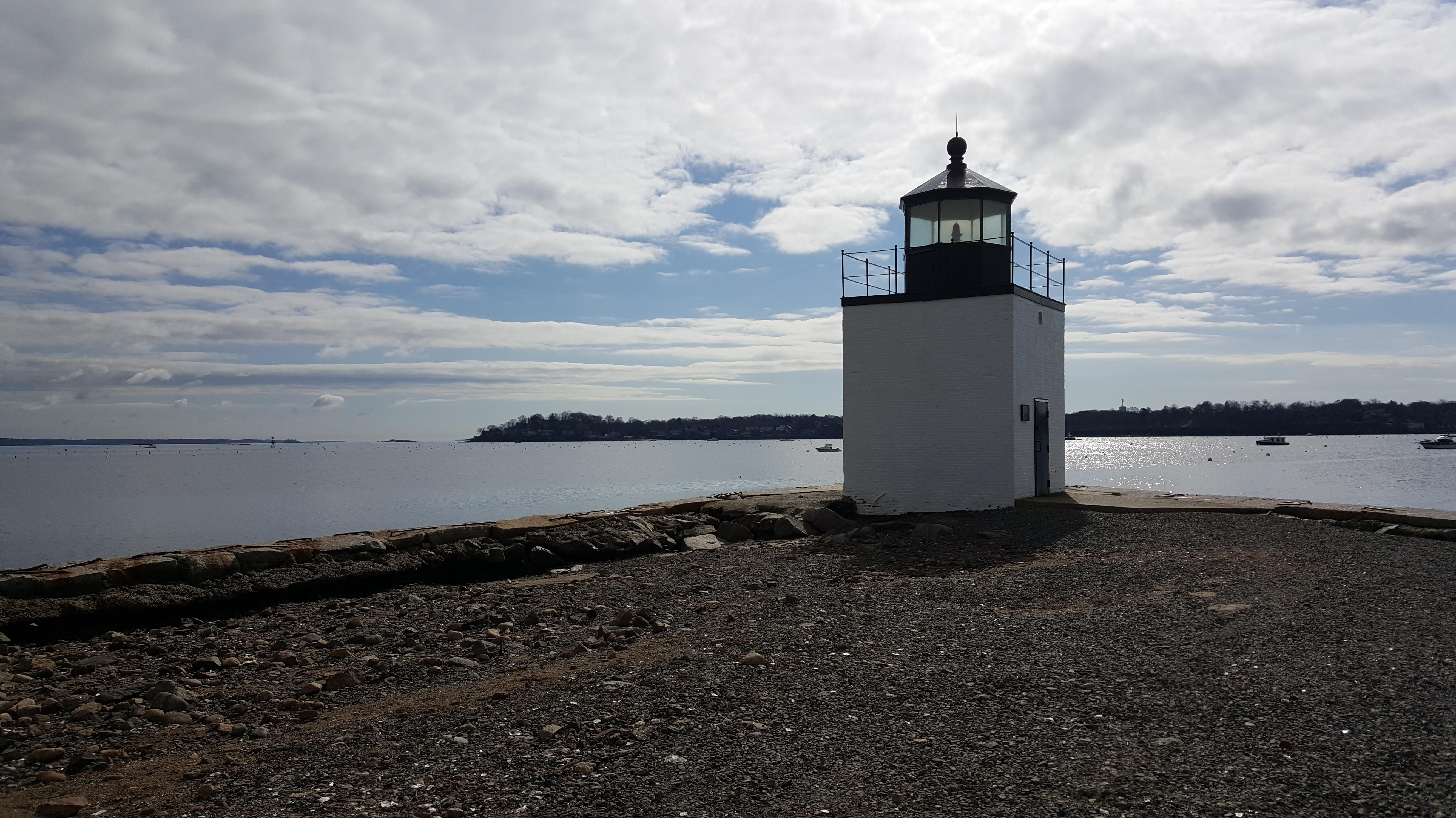
Park Photos
Activities
Operating Hours
Park Grounds
All outdoor spaces including the grounds, gardens, waterfront, and wharves are accessible 7 days a week. Please check the Visitor Center hours to learn more about which facilities are open.
| mon | tue | wed | thu | fri | sat | sun |
|---|---|---|---|---|---|---|
| All Day | All Day | All Day | All Day | All Day | All Day | All Day |
Frequently Asked Questions
How much does it cost to enter Salem Maritime National Historical Park?
Salem Maritime National Historical Park is free to enter.
What are the best activities at Salem Maritime National Historical Park?
Popular activities at Salem Maritime National Historical Park include: Guided Tours, Self-Guided Tours - Walking, Self-Guided Tours - Auto, Junior Ranger Program, Park Film, Museum Exhibits, Shopping, Bookstore and Park Store.
What is the weather like at Salem Maritime National Historical Park?
New England weather is unpredictable year-round. Monthly averages, in degrees Fahrenheit, are: January: 37 high, 20 low February: 40 high, 23 low March: 47 high, 30 low April: 57 high, 38 low May: 67 high, 48 low June: 76 high, 58 low July: 82 high, 63 low August: 80 high, 62 low September: 73 high, 55 low October: 62 high, 45 low November: 52 high, 37 low December: 42 high, 27 low
How do I get to Salem Maritime National Historical Park?
Salem Maritime National Historical Park is located in downtown Salem, Massachusetts and is accessible by vehicle, commuter rail, bus, ferry, and recreational boat.
Entrance Fees
Free Admission
Weather
New England weather is unpredictable year-round. Monthly averages, in degrees Fahrenheit, are: January: 37 high, 20 low February: 40 high, 23 low March: 47 high, 30 low April: 57 high, 38 low May: 67 high, 48 low June: 76 high, 58 low July: 82 high, 63 low August: 80 high, 62 low September: 73 high, 55 low October: 62 high, 45 low November: 52 high, 37 low December: 42 high, 27 low
Directions
Salem Maritime National Historical Park is located in downtown Salem, Massachusetts and is accessible by vehicle, commuter rail, bus, ferry, and recreational boat.
📍 View on Google Maps →Location
Official Resources
NPS Official WebsiteMore Parks in Massachusetts
Other national park sites you might enjoy