Sand Creek Massacre National Historic Site
National Historic Site · Colorado
NPS Photo/Shawn G. Gillette

National Historic Site of the United States
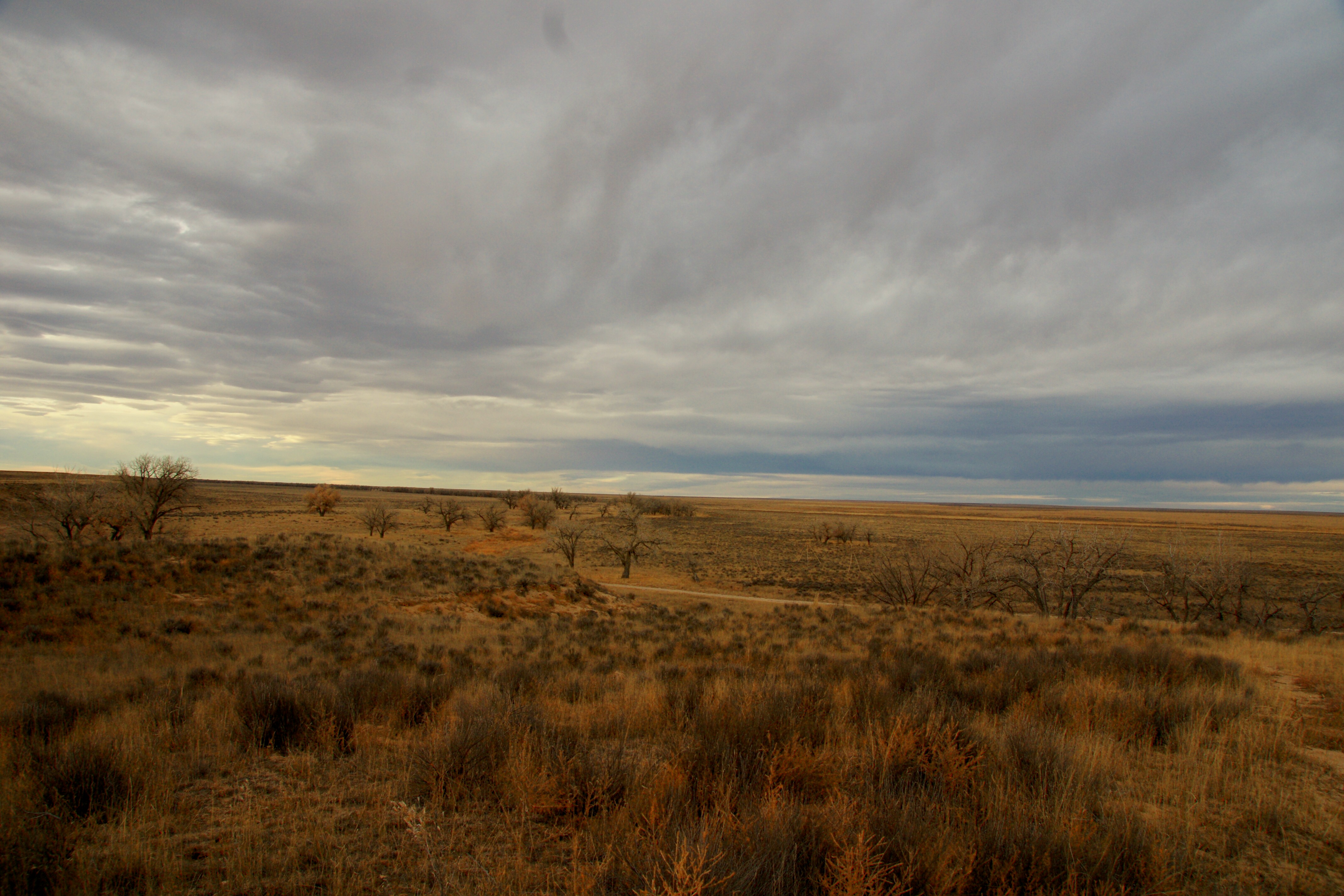
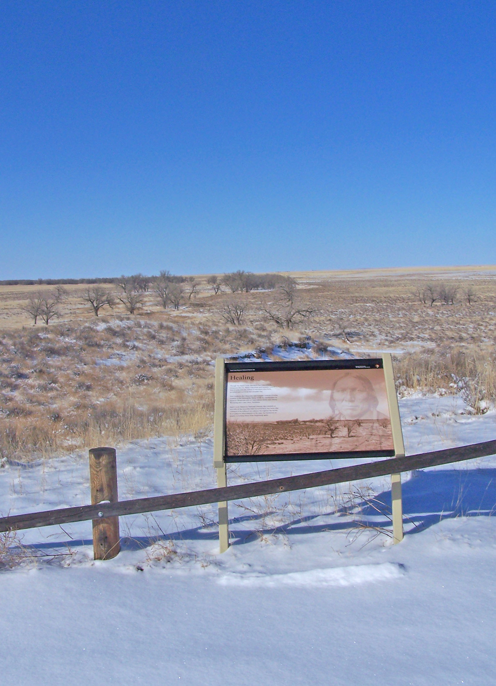
Sand Creek Massacre National Historic Site is a National Historic Site in Kiowa County, Colorado, commemorating the Sand Creek massacre that occurred here on November 29, 1864. The site is considered sacred after the unprovoked assault on an encampment of approximately 750 Native people resulted in the murder of hundreds of men, women and children. Near Eads and Chivington, the site is about 170 miles (270 km) southeast of Denver and about 125 miles (200 km) east of Pueblo. A few basic park facilities have been opened at this site.
About Sand Creek Massacre National Historic Site
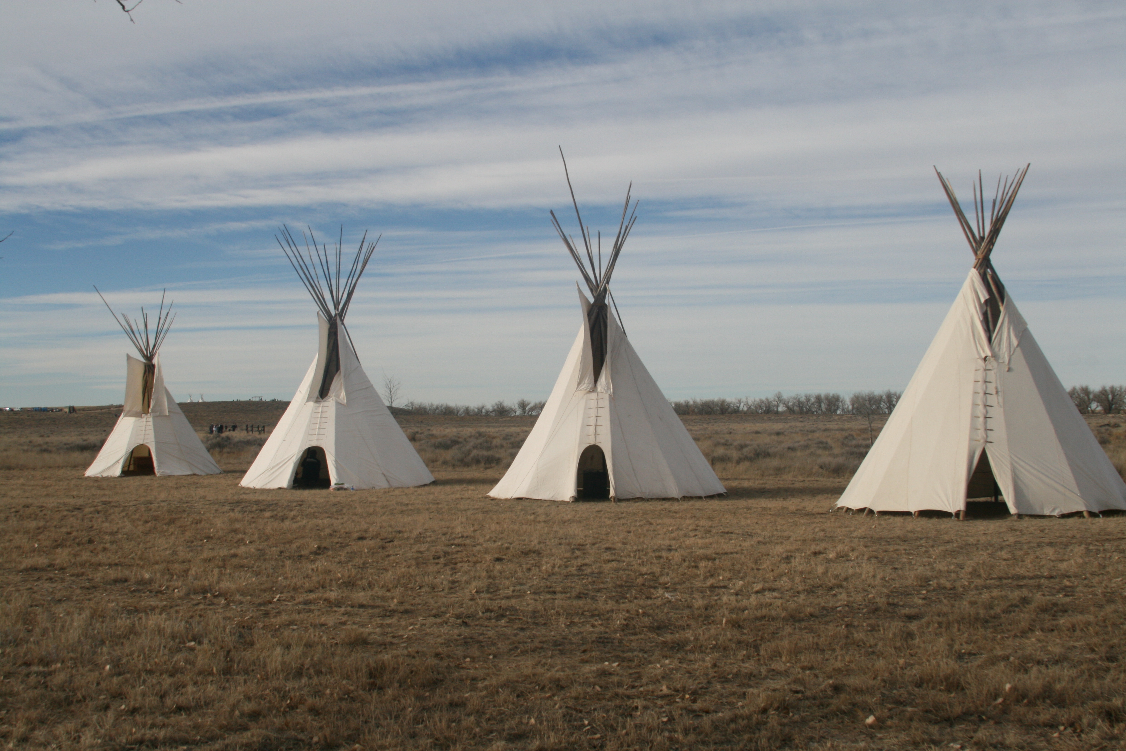
On November 29th, 1864, Chiefs Black Kettle, White Antelope, Left Hand and others were encamped with around 750 Arapaho and Cheyenne people in a valley by the Big Sandy Creek. A hope for peace, brought forth by Black Kettle was in the balance. It was a tragic day where the blood of the Cheyenne and Arapaho was shed, and a painful memory for generations of Native Americans was made.
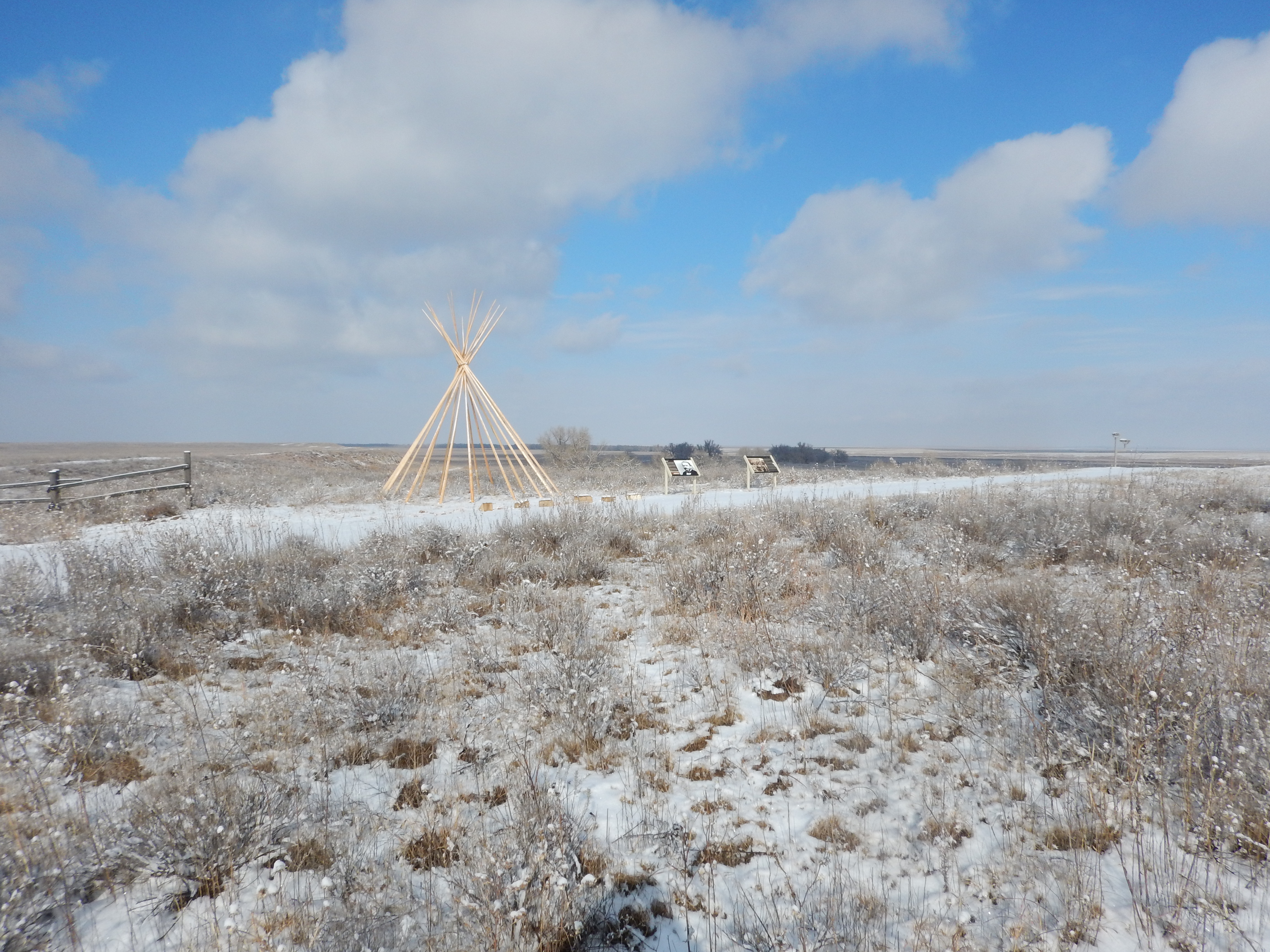
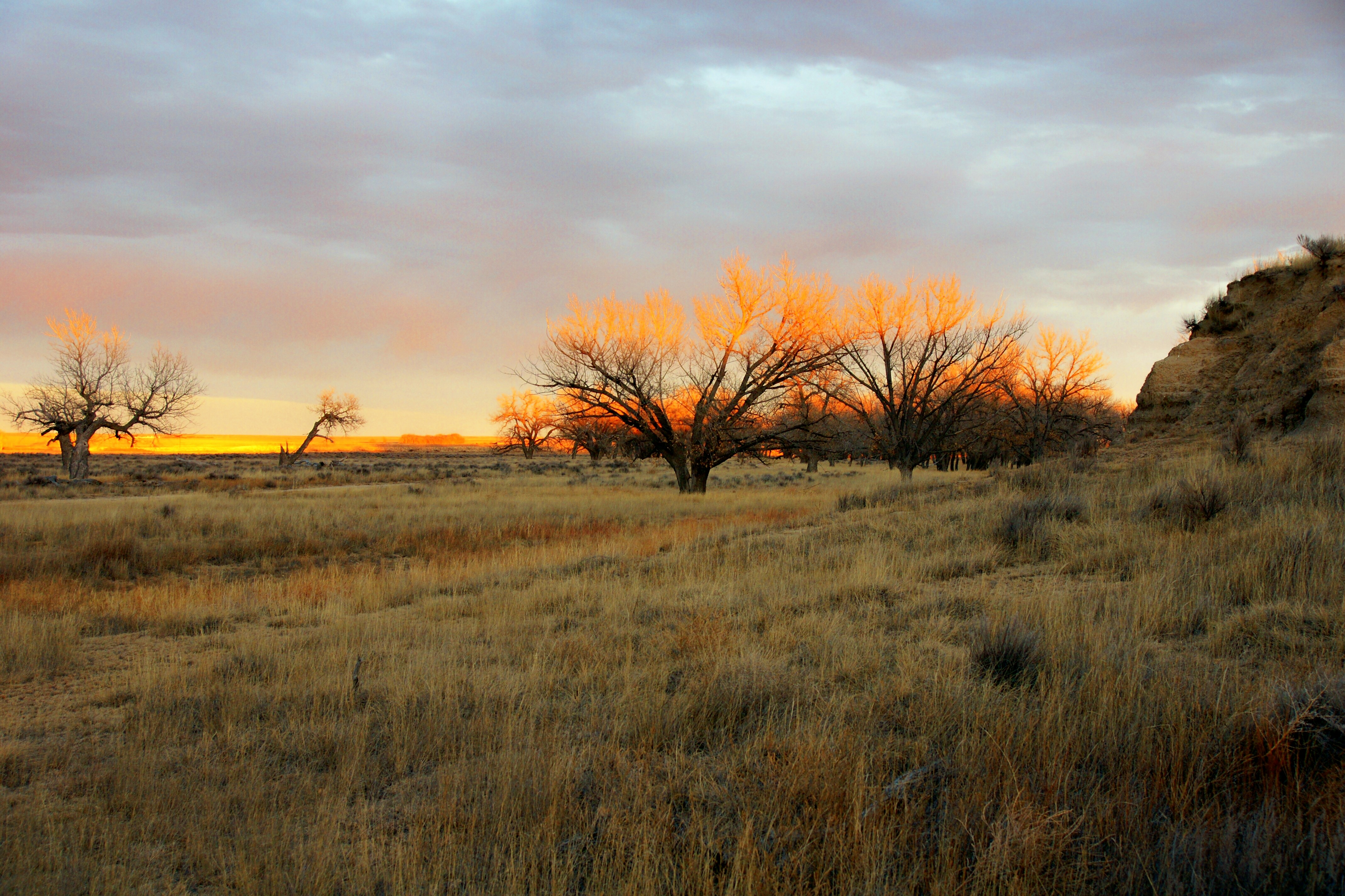
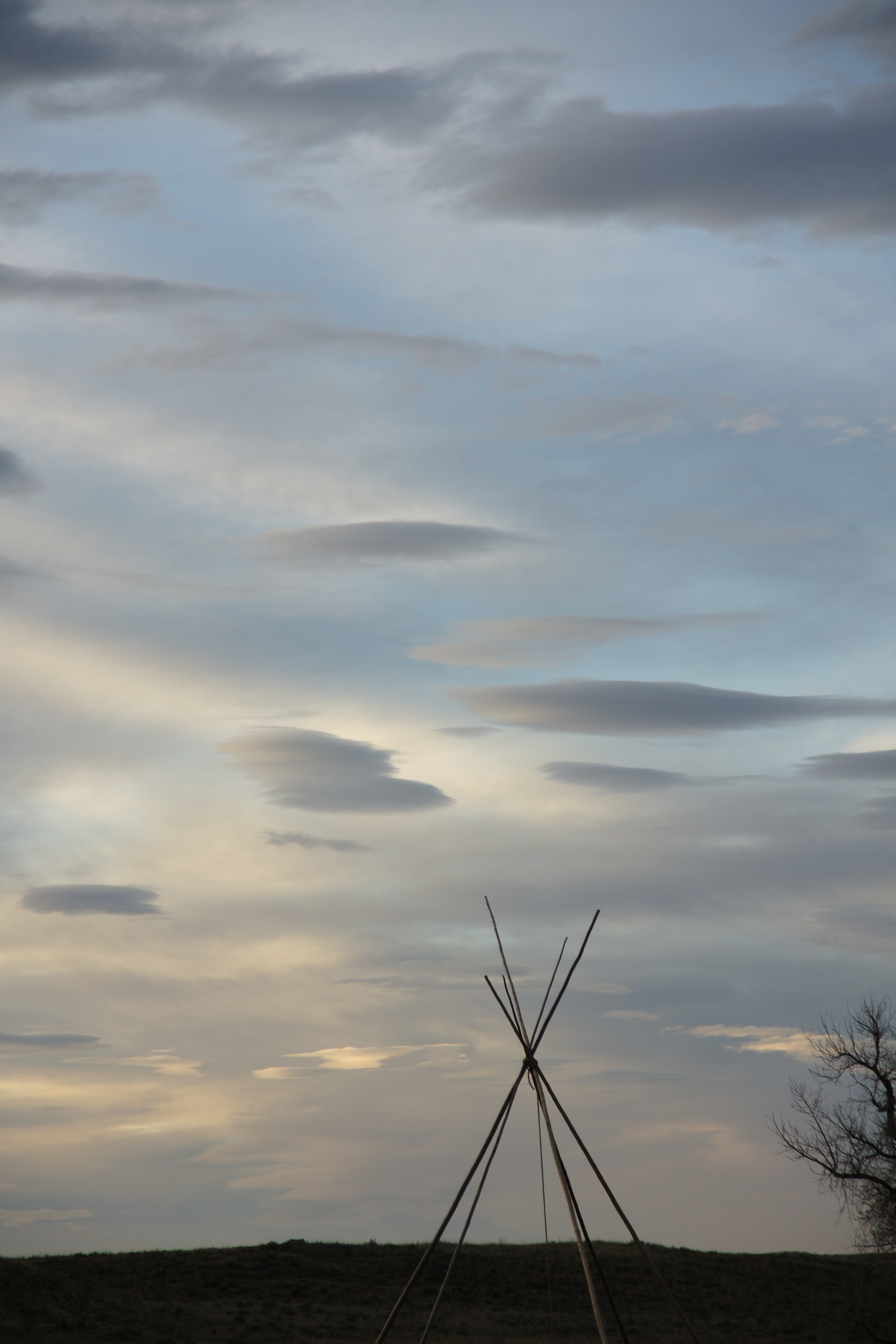
Park Photos
Activities
Operating Hours
Sand Creek Massacre National Historic Site
The park is located 23 miles outside of the town of Eads, Colorado and is open five days a week. Please view the directions tab for more information.
| mon | tue | wed | thu | fri | sat | sun |
|---|---|---|---|---|---|---|
| 9:00AM - 4:00PM | Closed | Closed | 9:00AM - 4:00PM | 9:00AM - 4:00PM | 9:00AM - 4:00PM | 9:00AM - 4:00PM |
Frequently Asked Questions
How much does it cost to enter Sand Creek Massacre National Historic Site?
Sand Creek Massacre National Historic Site is free to enter.
What are the best activities at Sand Creek Massacre National Historic Site?
Popular activities at Sand Creek Massacre National Historic Site include: Guided Tours, Hiking, Wildlife Watching, Birdwatching, Shopping, Bookstore and Park Store.
What is the weather like at Sand Creek Massacre National Historic Site?
Weather conditions at the park vary considerably. Temperatures range from over 100°F in summer to under 20°F in winter. Visitors can expect blowing dust and sand year-round, especially during infrequent storms. Some of these storms produce violent tornadoes or large blizzards, so prepare accordingly, and contact the on-duty Ranger to ask about road conditions at (719)-438-5916
How do I get to Sand Creek Massacre National Historic Site?
The Sand Creek Massacre is located in Kiowa County, Colorado. To visit the site, follow Colorado State Highway 96 east off Highway 287 near Eads, or west off Highway 385 at Sheridan Lake. Near Chivington, turn north onto County Road 54/Chief White Antelope Way or at Brandon, turn north onto County Road 59. Follow these roads to their intersections with County Road W. The park entrance is along CR W a mile east (right) of CR 54 or several miles west (left) of CR 59.
Entrance Fees
Free Admission
Weather
Weather conditions at the park vary considerably. Temperatures range from over 100°F in summer to under 20°F in winter. Visitors can expect blowing dust and sand year-round, especially during infrequent storms. Some of these storms produce violent tornadoes or large blizzards, so prepare accordingly, and contact the on-duty Ranger to ask about road conditions at (719)-438-5916
Directions
The Sand Creek Massacre is located in Kiowa County, Colorado. To visit the site, follow Colorado State Highway 96 east off Highway 287 near Eads, or west off Highway 385 at Sheridan Lake. Near Chivington, turn north onto County Road 54/Chief White Antelope Way or at Brandon, turn north onto County Road 59. Follow these roads to their intersections with County Road W. The park entrance is along CR W a mile east (right) of CR 54 or several miles west (left) of CR 59.
📍 View on Google Maps →Location
Official Resources
NPS Official WebsiteMore Parks in Colorado
Other national park sites you might enjoy