Tallgrass Prairie National Preserve
National Preserve · Kansas
NPS

Protected area in Kansas, US
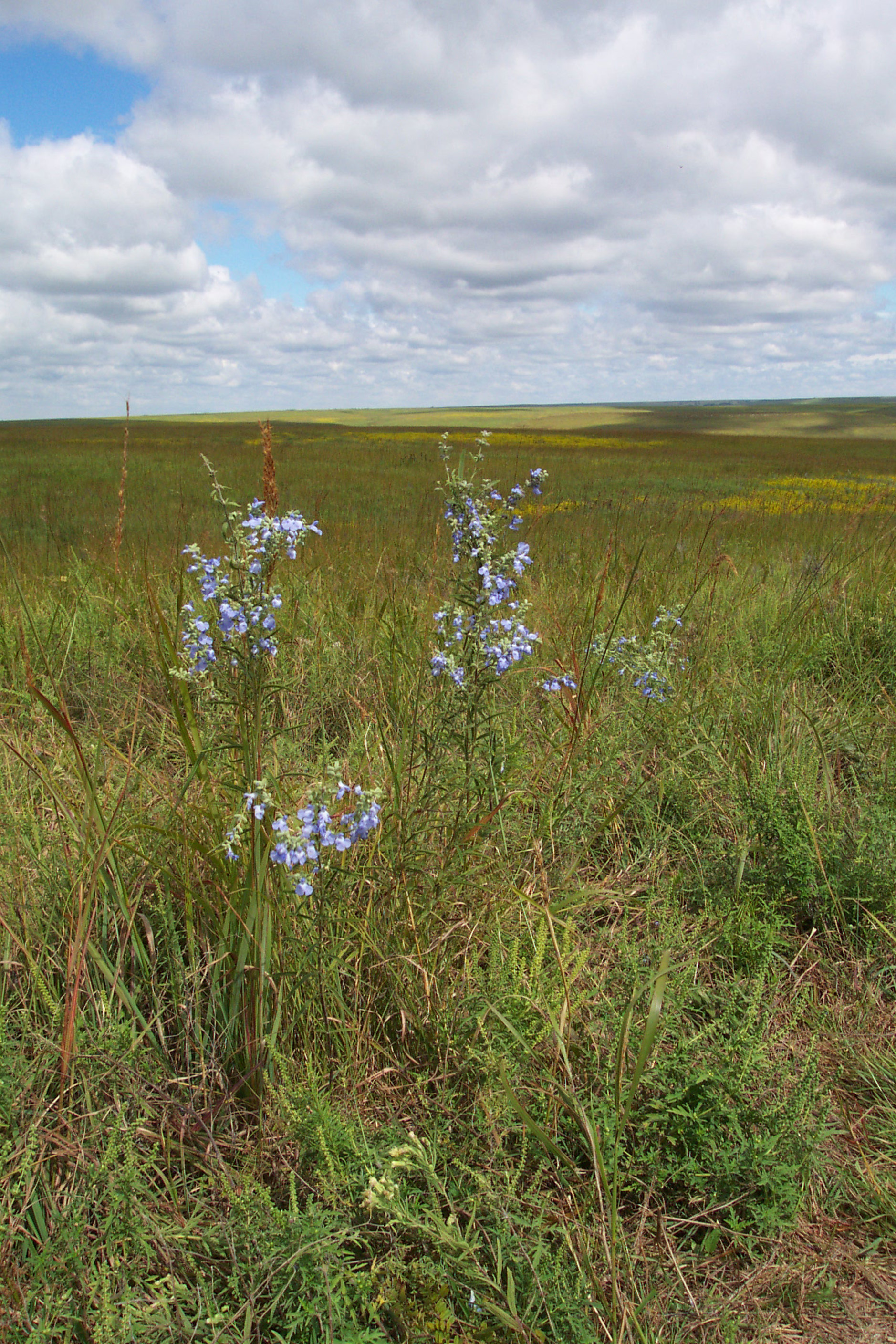
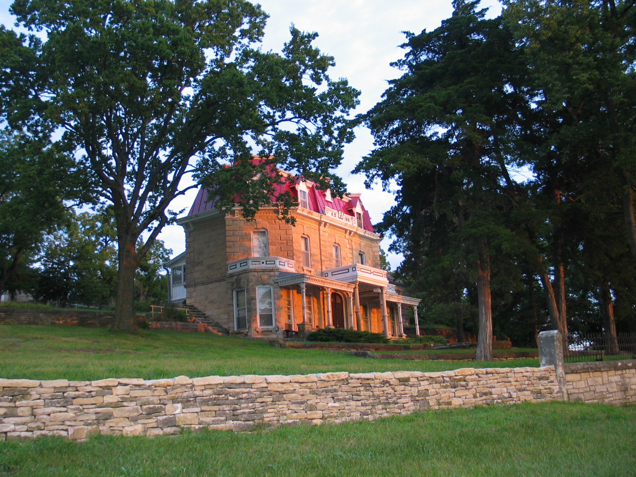
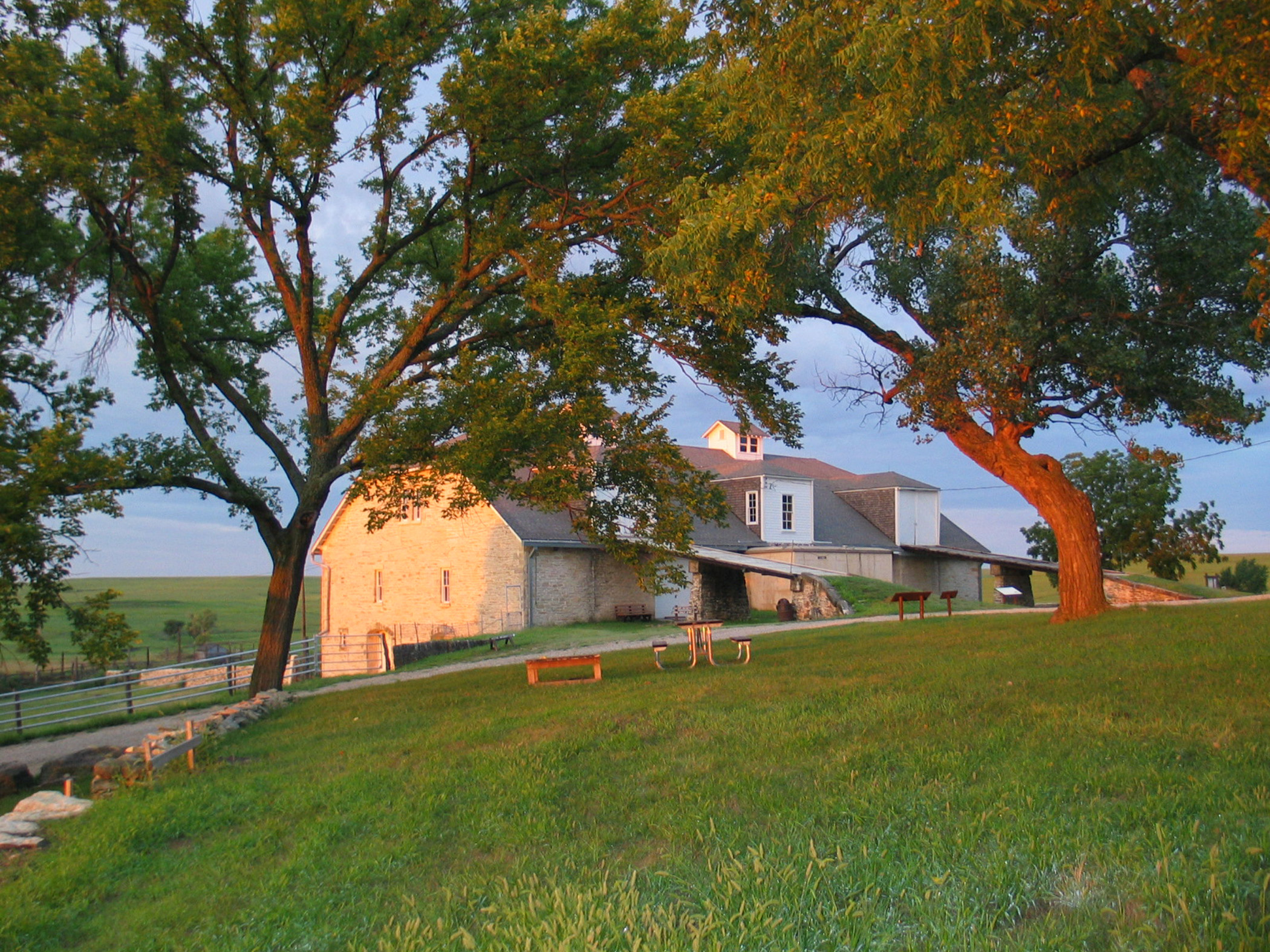
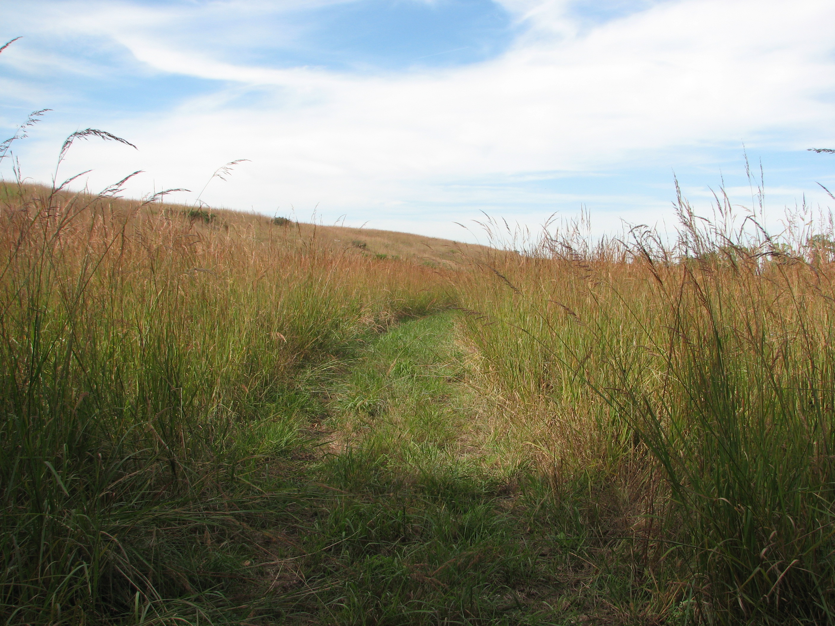
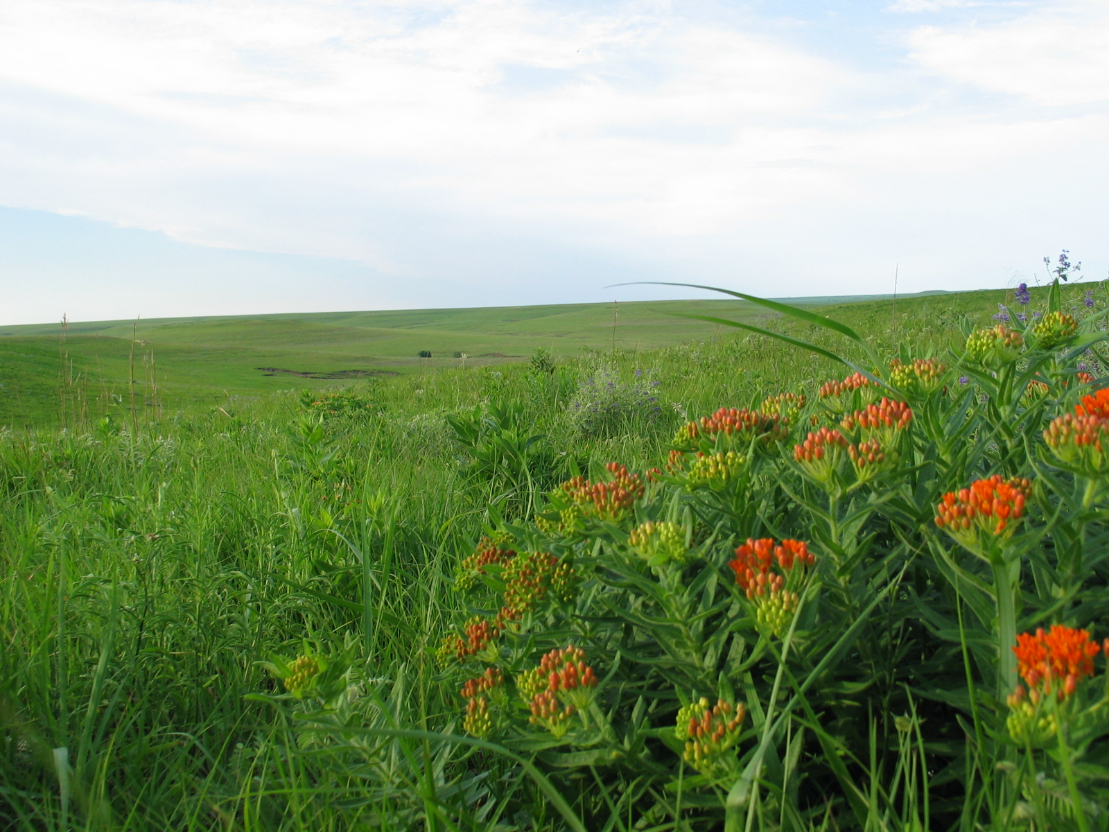
Tallgrass Prairie National Preserve is a United States National Preserve located in the Flint Hills region of Kansas, north of Strong City. The preserve protects a nationally significant example of the once vast tallgrass prairie ecosystem. Of the 400,000 square miles (1,000,000 km2) of tallgrass prairie that once covered the North American continent, less than 5% remains, primarily in the Flint Hills. Since 2009, the preserve has been home to the Tallgrass Prairie bison herd.
About Tallgrass Prairie National Preserve
Tallgrass prairie once covered 170 million acres of North America, but within a generation most of it had been transformed into farms, cities, and towns. Today less than 4% remains intact, mostly in the Kansas Flint Hills. Established on November 12, 1996, the preserve protects a nationally significant remnant of the once vast tallgrass prairie ecosystem. Here the tallgrass makes its last stand.
Park Photos
Activities
Operating Hours
Tallgrass Prairie National Preserve Hours
Hiking trails are open 24/7; no camping, no open flames, no drones. Prescribed fire and cattle/bison operations may close specific trails. Watch for signs. Trail maps available at the Visitor Center and most trailheads. Cell phone tour information is available at the kiosk and on the waysides. Visitor Center and historic buildings are open daily from 8:30 am - 4:30 pm May 1st through October 31 and 9 am to 4:30 pm November 1 - April 30. Visitor Center closed Monday and Tuesday, from November 1 to March 31.
| mon | tue | wed | thu | fri | sat | sun |
|---|---|---|---|---|---|---|
| All Day | All Day | All Day | All Day | All Day | All Day | All Day |
Frequently Asked Questions
How much does it cost to enter Tallgrass Prairie National Preserve?
Tallgrass Prairie National Preserve is free to enter.
What are the best activities at Tallgrass Prairie National Preserve?
Popular activities at Tallgrass Prairie National Preserve include: Arts and Culture, Cultural Demonstrations, Astronomy, Stargazing, Fishing, Freshwater Fishing, Food, Picnicking.
What is the weather like at Tallgrass Prairie National Preserve?
Typical weather for the preserve ranges from lows of 0 degrees in the winter and highs of 90 + degrees in the summer. Prevailing prairie winds attribute to winter blizzards and occasional summer storms. Thunderstorms that form on the Great Plains have a rare chance of producing tornadoes. Lightning poses a danger when hiking into the prairie. Please check current weather conditions at NOAA before hiking into the preserve.
How do I get to Tallgrass Prairie National Preserve?
The preserve is located in northern Chase County, Kansas 2 miles north of intersection U.S. Hwy 50 and Flint Hills National Scenic Byway 177 (K-177) west of Strong City. Watch for brown attraction signs. **2 miles north of Strong City, KS on K-177** **16 miles west of Emporia, KS on U.S. Hwy 50 and 2 miles north on K-177** **17 miles south of Council Grove, KS on K-177** **85 miles northeast of Wichita on I-35, U.S. Hwy 50, and K-177** **60 miles southwest of Topeka on I-335 (Kansas Turnpike) to Emporia**
Entrance Fees
Free Admission
Weather
Typical weather for the preserve ranges from lows of 0 degrees in the winter and highs of 90 + degrees in the summer. Prevailing prairie winds attribute to winter blizzards and occasional summer storms. Thunderstorms that form on the Great Plains have a rare chance of producing tornadoes. Lightning poses a danger when hiking into the prairie. Please check current weather conditions at NOAA before hiking into the preserve.
Directions
The preserve is located in northern Chase County, Kansas 2 miles north of intersection U.S. Hwy 50 and Flint Hills National Scenic Byway 177 (K-177) west of Strong City. Watch for brown attraction signs. **2 miles north of Strong City, KS on K-177** **16 miles west of Emporia, KS on U.S. Hwy 50 and 2 miles north on K-177** **17 miles south of Council Grove, KS on K-177** **85 miles northeast of Wichita on I-35, U.S. Hwy 50, and K-177** **60 miles southwest of Topeka on I-335 (Kansas Turnpike) to Emporia**
📍 View on Google Maps →Location
Official Resources
NPS Official WebsiteMore Parks in Kansas
Other national park sites you might enjoy