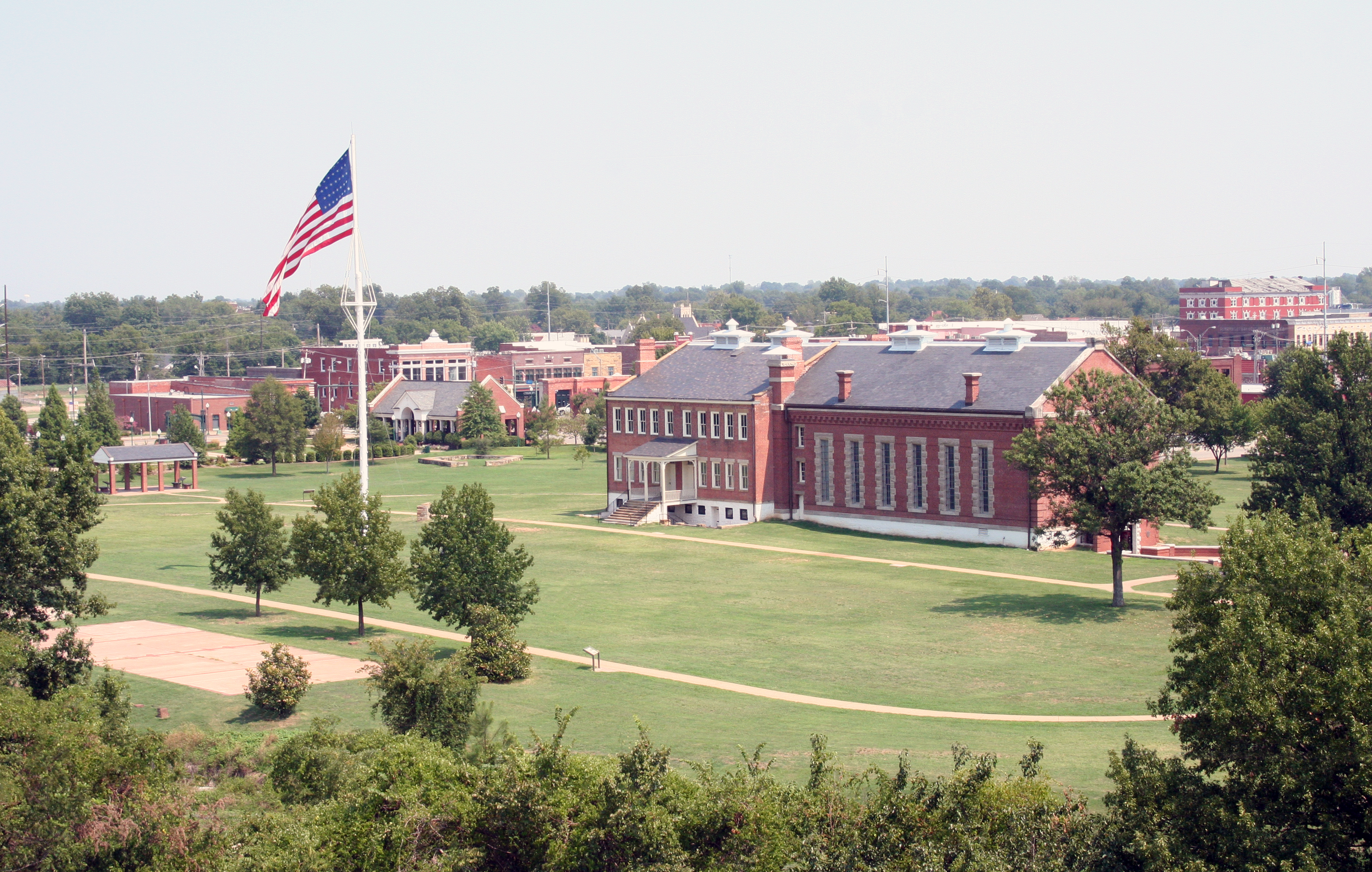
Washita Battlefield National Historic Site
National Historic Site · Oklahoma
NPS Photo / Gene Eakins
National Historic Site of the United States
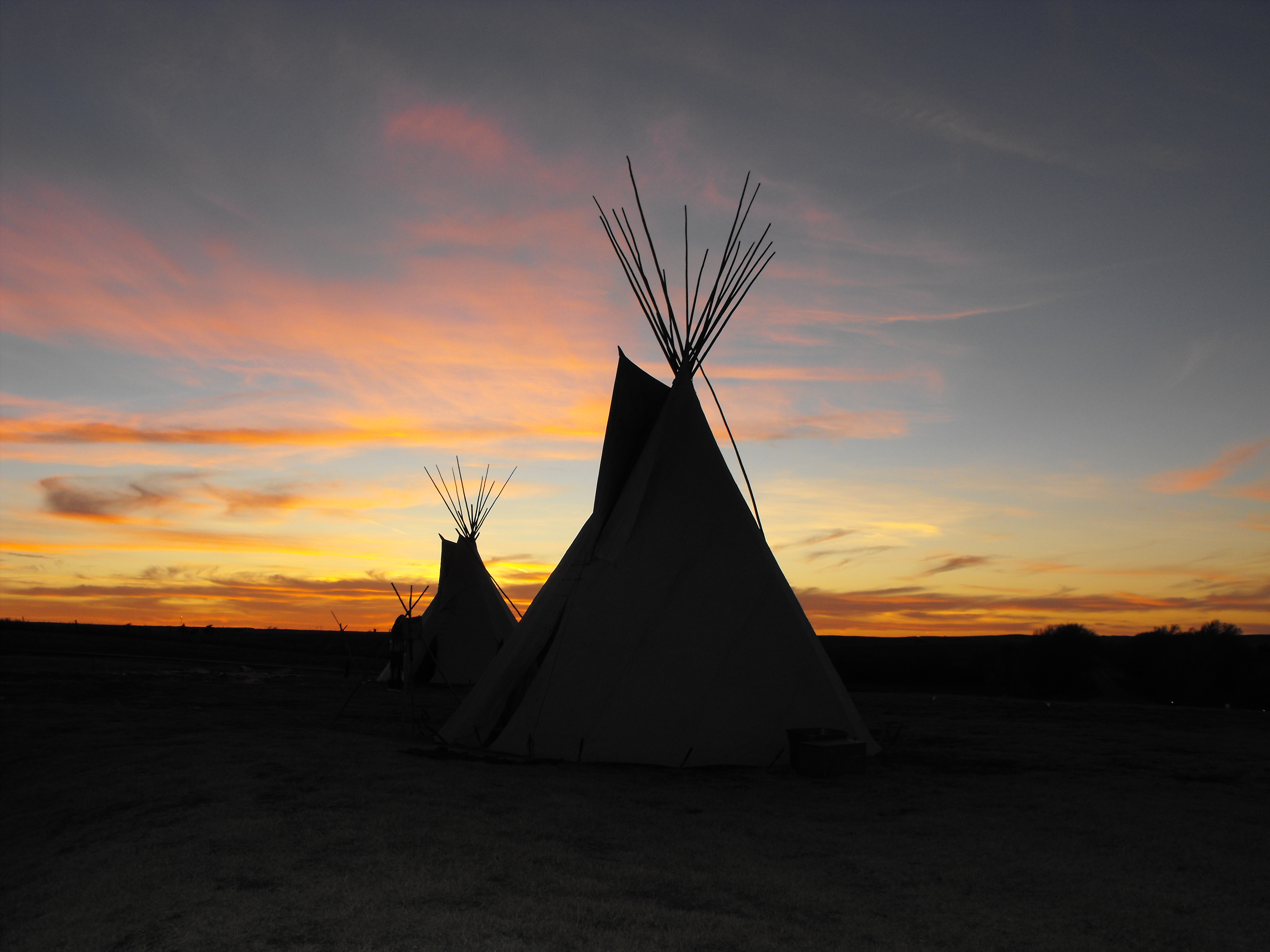
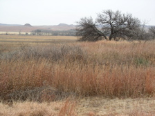
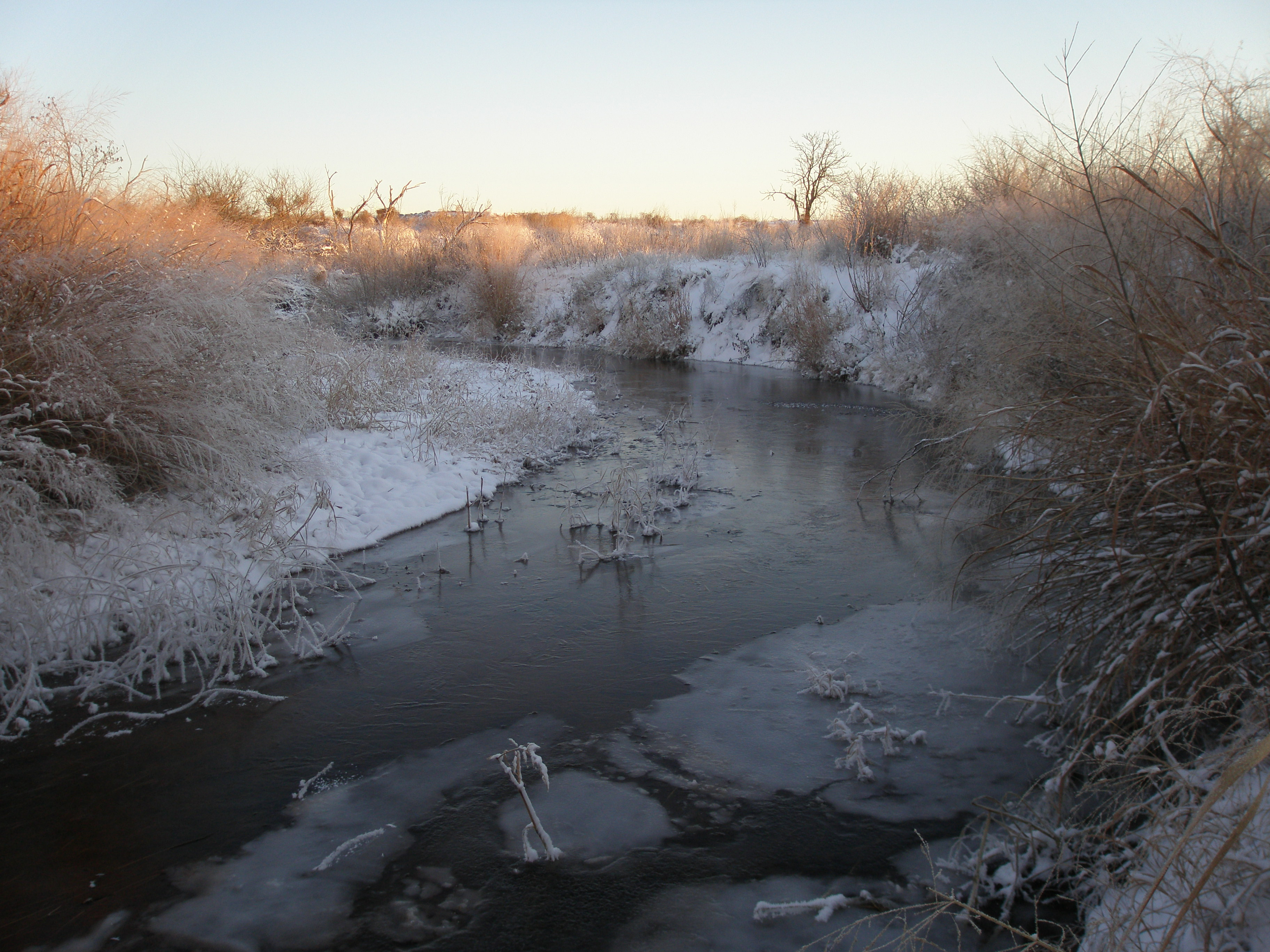
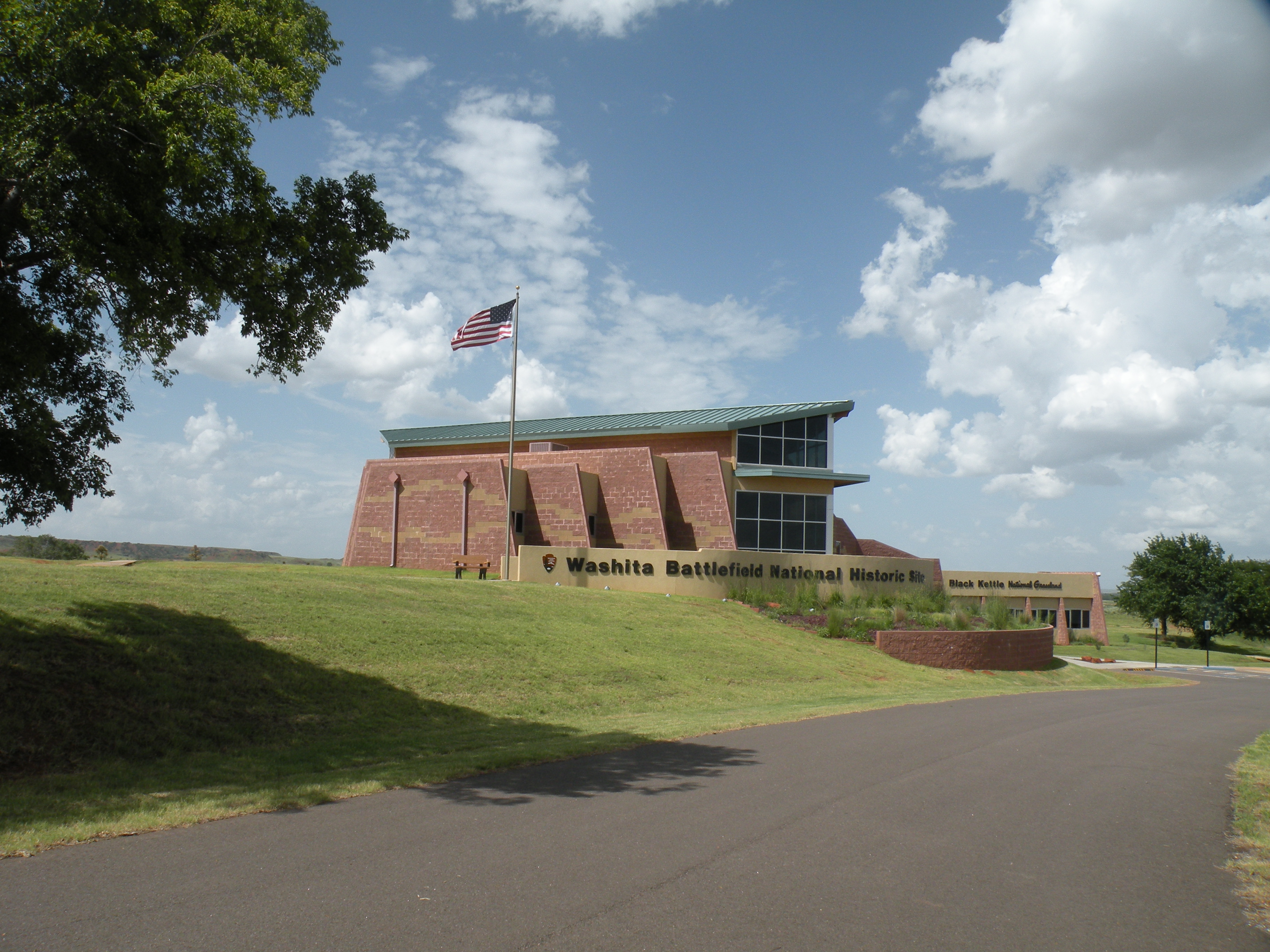
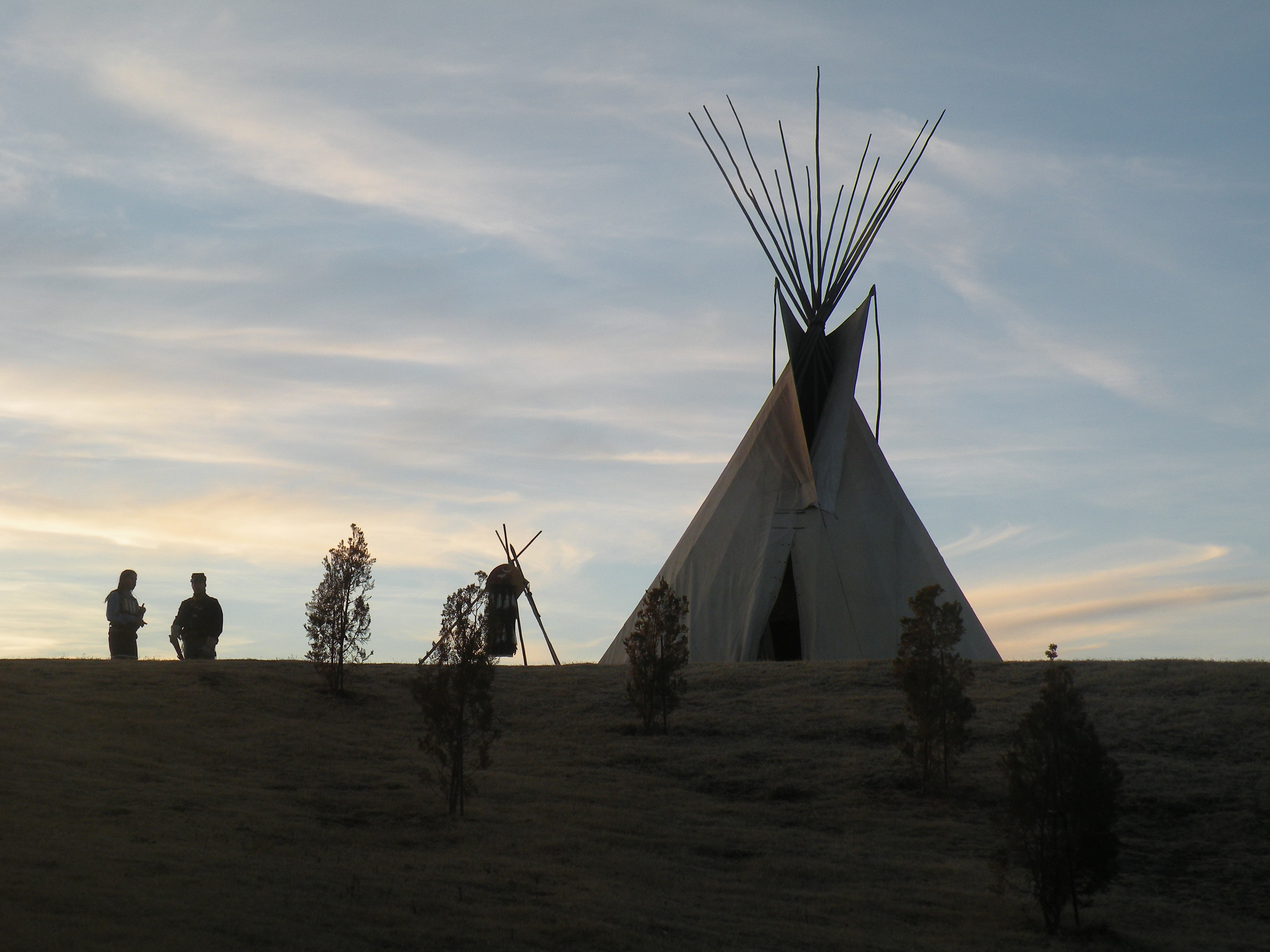
Washita Battlefield National Historic Site protects and interprets the site of the Southern Cheyenne village of Chief Black Kettle where the Battle of Washita occurred. The site is located about 150 miles (241 km) west of Oklahoma City, Oklahoma, near Cheyenne, Oklahoma. Just before dawn on November 27, 1868, the village was attacked by the 7th U.S. Cavalry under Lt. Col. George Custer. In the Battle of Washita, the Cheyenne suffered large numbers of casualties. The strike was hailed at the time by the military and many civilians as a significant victory aimed at reducing Indian raids on frontier settlements as it forced the Cheyenne back to the reservation set aside for them. The site is a small portion of a large area that was declared a National Historic Landmark in 1965, and was listed on the National Register of Historic Places in 1966. The landmarked area encompasses the entire battlefield, which extends for some 6 miles (9.7 km) through the city of Cheyenne.
About Washita Battlefield National Historic Site
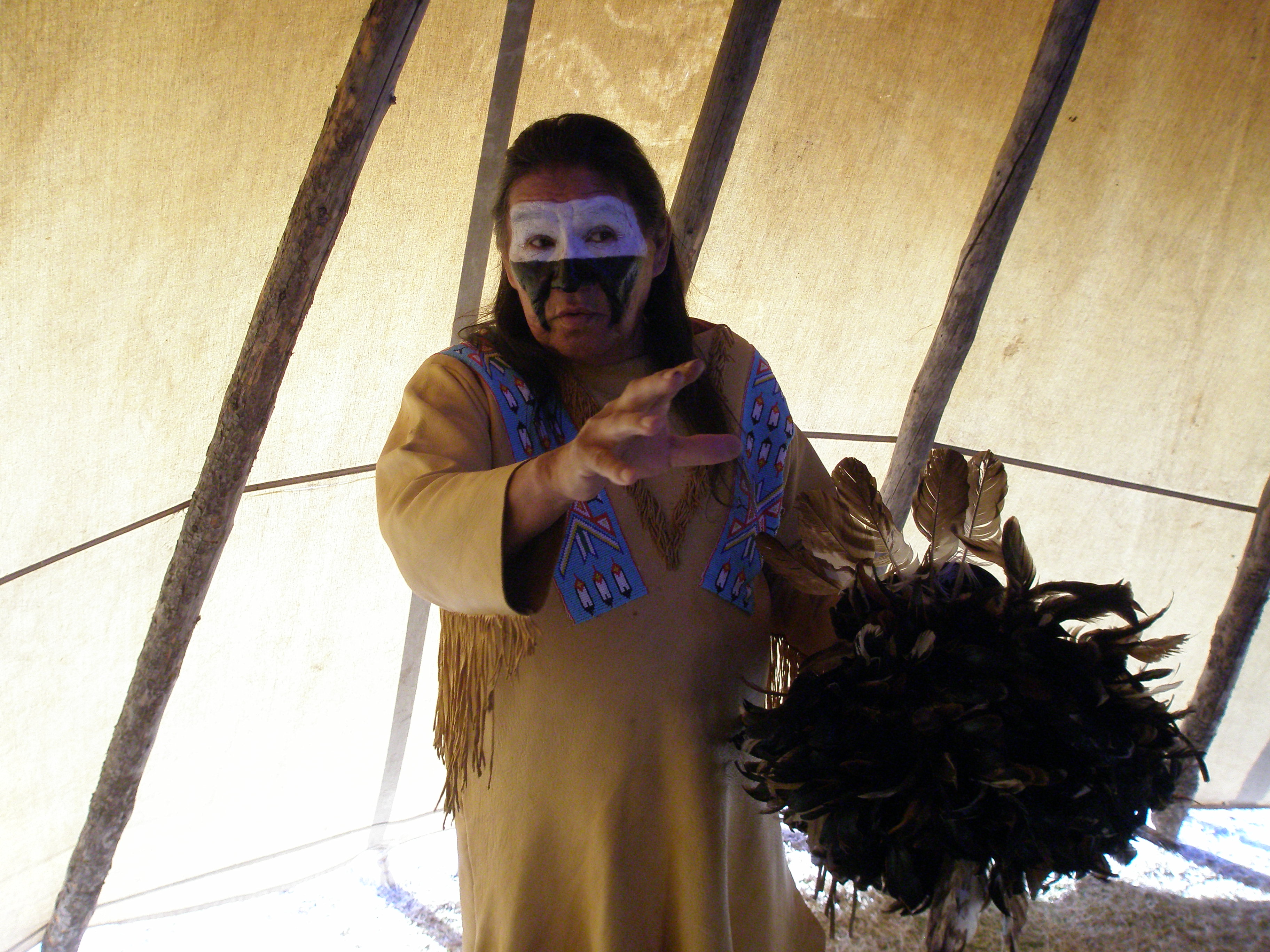
On November 27, 1868, Lt. Colonel George Armstrong Custer led the 7th US Cavalry on a surprise dawn attack on a Cheyenne village led by Peace Chief Black Kettle. The event was an example of the tragic clash of cultures that occurred during the Great Plains Wars. It is also a place of remembrance and reflection for those who died here. Read More
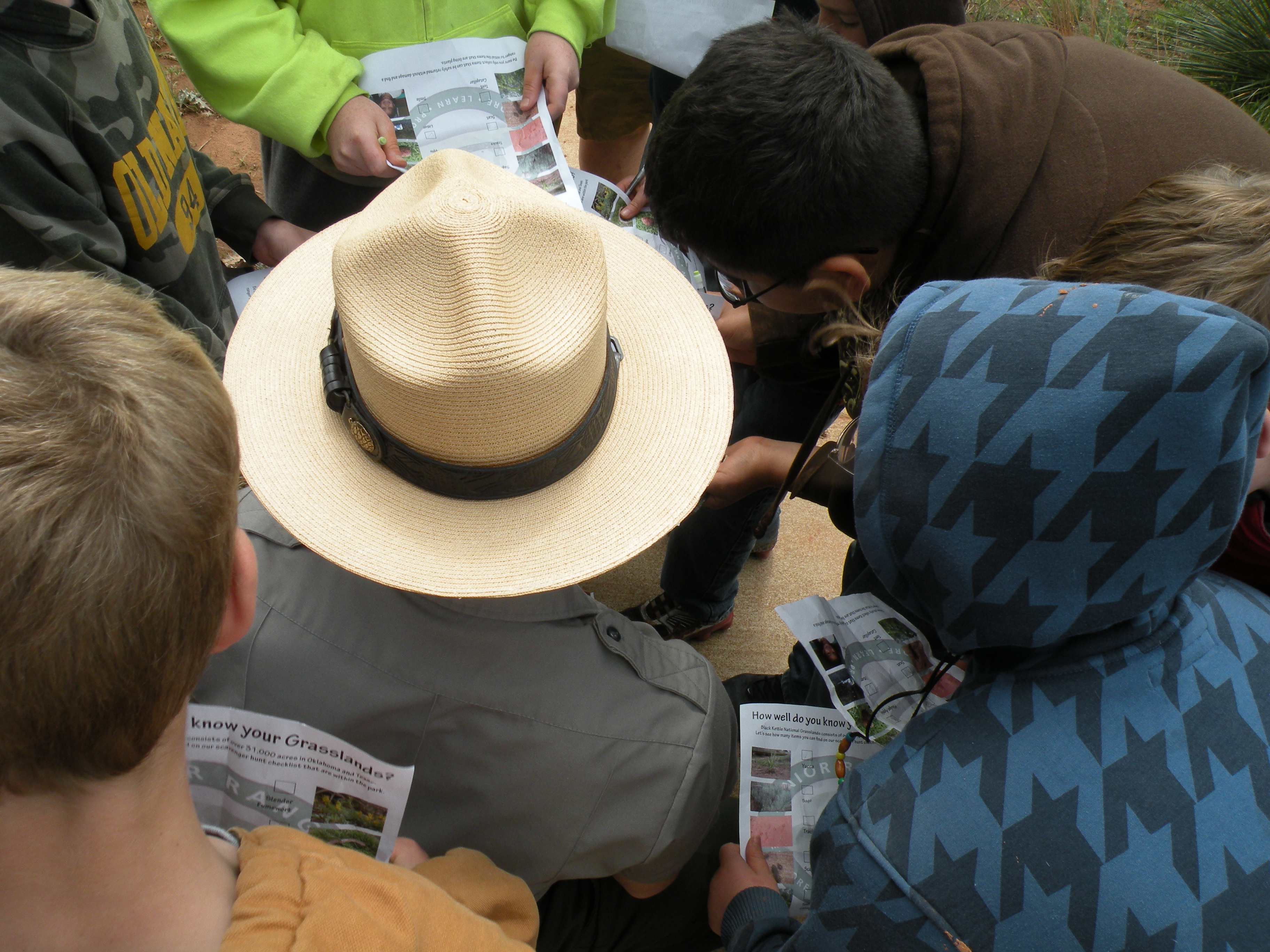
Park Photos
Activities
Operating Hours
Overlook and Trail
The overlook and trail of Washita Battlefield National Historic Site are open 30 minutes before sunrise and close 30 minutes after sunset.
| mon | tue | wed | thu | fri | sat | sun |
|---|---|---|---|---|---|---|
| Sunrise to Sunset | Sunrise to Sunset | Sunrise to Sunset | Sunrise to Sunset | Sunrise to Sunset | Sunrise to Sunset | Sunrise to Sunset |
Frequently Asked Questions
How much does it cost to enter Washita Battlefield National Historic Site?
Washita Battlefield National Historic Site is free to enter.
What are the best activities at Washita Battlefield National Historic Site?
Popular activities at Washita Battlefield National Historic Site include: Arts and Culture, Guided Tours, Self-Guided Tours - Walking, Hands-On, Citizen Science, Hiking, Front-Country Hiking, Living History.
What is the weather like at Washita Battlefield National Historic Site?
Weather in western Oklahoma can vary considerably. Winters can be mild to severe with ice storms being the biggest concern. Spring is usually short but pleasant although severe weather, including tornadoes, is still a possibility. Usually a strong breeze is associated with spring weather. Summers are brutally hot and visitors should be cautioned about spending any length of time in the heat. Falls are cool with a bitter wind.
How do I get to Washita Battlefield National Historic Site?
Washita Battlefield is located just west of Cheyenne in western Oklahoma approximately 130 miles west of Oklahoma City and 140 miles east of Amarillo, Texas; just 25 miles north of I-40 on State Highway 283. From Cheyenne head west on State Highway 47 for about 1 mile and then make a right on State Highway 47A. The visitor center will be on the right and the battlefield is about .5 miles past the visitor center on the right as well.
Entrance Fees
Free Admission
Weather
Weather in western Oklahoma can vary considerably. Winters can be mild to severe with ice storms being the biggest concern. Spring is usually short but pleasant although severe weather, including tornadoes, is still a possibility. Usually a strong breeze is associated with spring weather. Summers are brutally hot and visitors should be cautioned about spending any length of time in the heat. Falls are cool with a bitter wind.
Directions
Washita Battlefield is located just west of Cheyenne in western Oklahoma approximately 130 miles west of Oklahoma City and 140 miles east of Amarillo, Texas; just 25 miles north of I-40 on State Highway 283. From Cheyenne head west on State Highway 47 for about 1 mile and then make a right on State Highway 47A. The visitor center will be on the right and the battlefield is about .5 miles past the visitor center on the right as well.
📍 View on Google Maps →Location
Official Resources
NPS Official WebsiteMore Parks in Oklahoma
Other national park sites you might enjoy