Wilson's Creek National Battlefield
National Battlefield · Missouri
Charles Dischinger

National battlefield in Missouri, United States
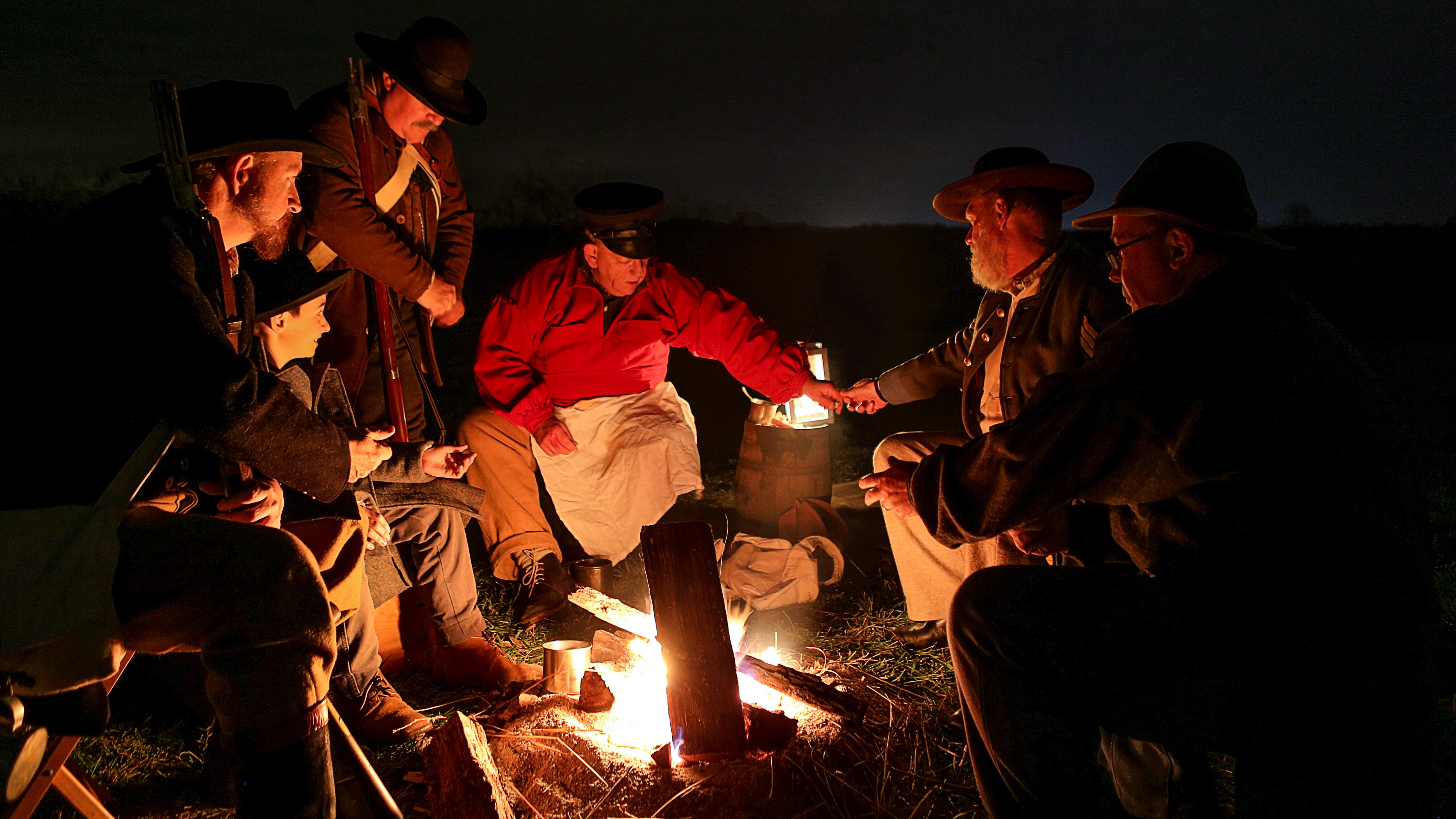
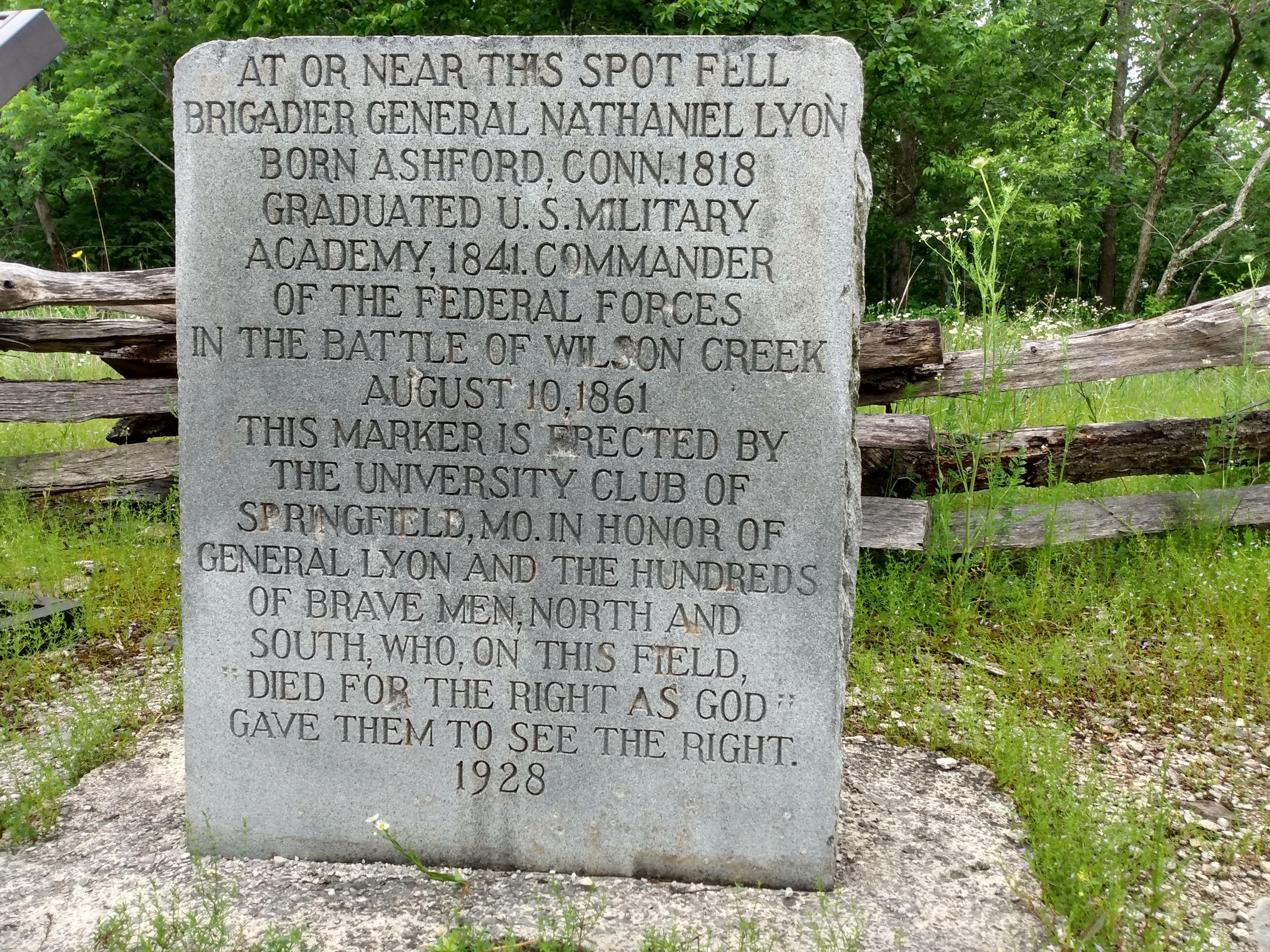
Wilson's Creek National Battlefield, located near Republic, Missouri, preserves the site of the Battle of Wilson's Creek. Fought on August 10, 1861, the battle was the first major American Civil War engagement west of the Mississippi River. In the battle, a Confederate army commanded by Benjamin McCulloch and Sterling Price defeated a smaller Union army commanded by Nathaniel Lyon. However, the Confederates were unable to hold much of Missouri, and a Confederate defeat at the Battle of Pea Ridge effectively solidified Union control of the state. Major features include a five-mile automobile tour loop, the restored 1852 Ray House, and "Bloody Hill", the site of the final stage of the battle. The site is located near Republic in southwestern Missouri just southwest of the city of Springfield. It has been a unit of the National Park Service since 1960, and was listed on the National Register of Historic Places in 1966.
About Wilson's Creek National Battlefield
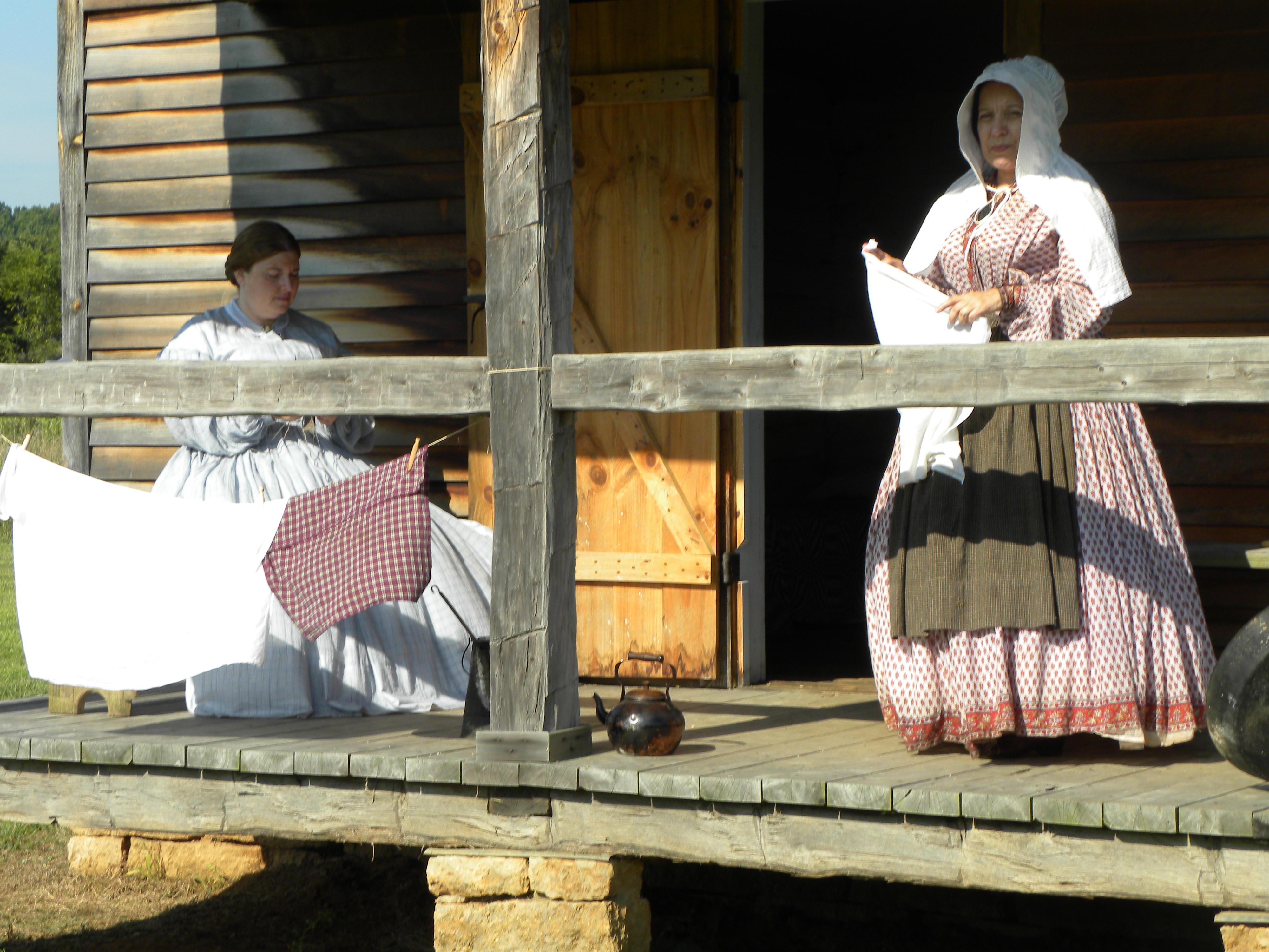
Wilson's Creek was the first major Civil War battle fought west of the Mississippi River, and where the first Union general was killed in action. The costly Southern victory on August 10, 1861, focused national attention on the war in Missouri. Wilson’s Creek National Battlefield commemorates and interprets the battle within the context of the war in the Trans-Mississippi West.
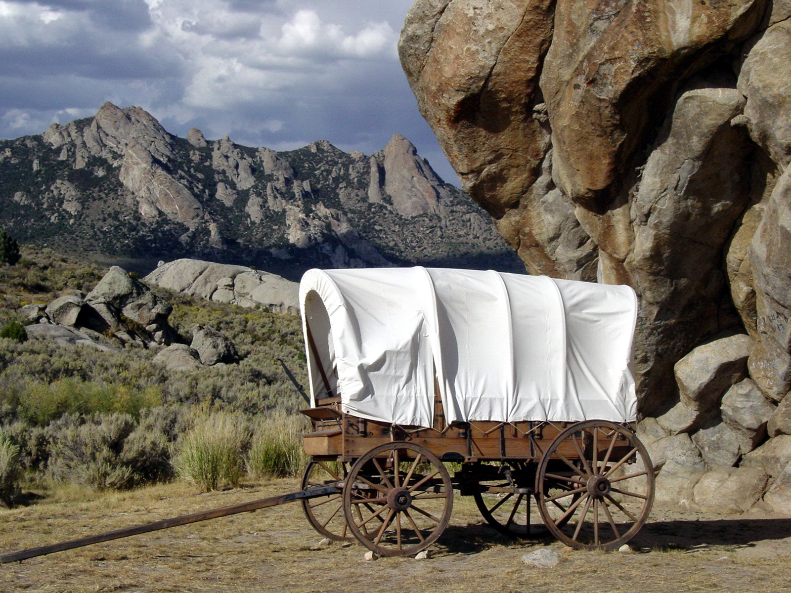
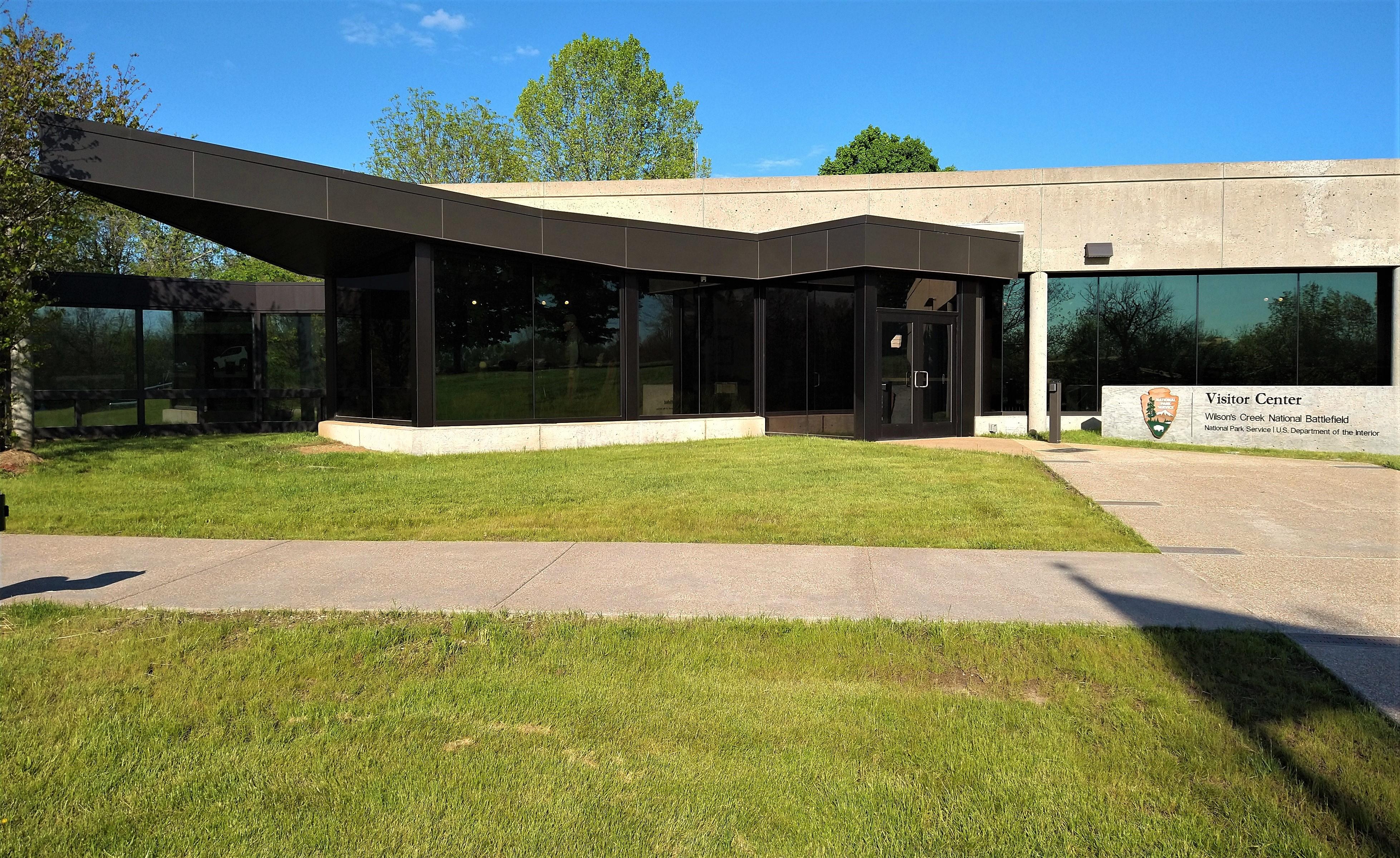
Park Photos

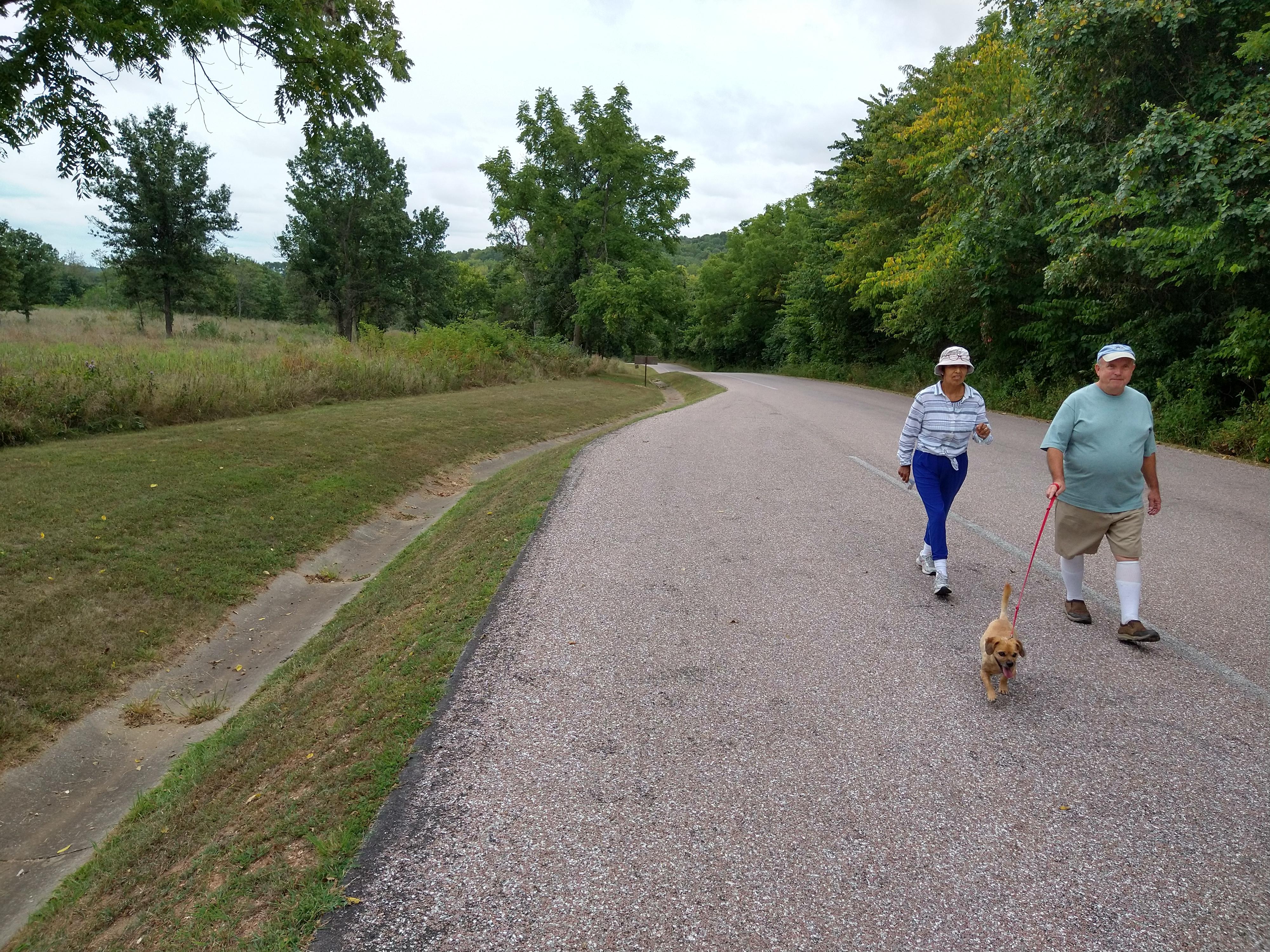
Activities
Operating Hours
STANDARD HOURS (TOUR ROAD)
The park grounds are open from 1/2 hour before sunrise until 1/2 hour after sunset. This includes non-motorized and pedestrian access to the tour road. Motorized access to the tour road begins at 8:00 am daily when the automated entrance gate will open. The visitor center and museum hours are 9:00 am to 5:00 pm daily, seven days a week.
| mon | tue | wed | thu | fri | sat | sun |
|---|---|---|---|---|---|---|
| Sunrise to Sunset | Sunrise to Sunset | Sunrise to Sunset | Sunrise to Sunset | Sunrise to Sunset | Sunrise to Sunset | Sunrise to Sunset |
Frequently Asked Questions
How much does it cost to enter Wilson's Creek National Battlefield?
Wilson's Creek National Battlefield is free to enter.
What are the best activities at Wilson's Creek National Battlefield?
Popular activities at Wilson's Creek National Battlefield include: Arts and Culture, Cultural Demonstrations, Live Music, Auto and ATV, Scenic Driving, Biking, Road Biking, Food.
What is the weather like at Wilson's Creek National Battlefield?
Summer months are frequently hot and humid, with occasional showers and thunderstorms. Winter months (especially January and February) are frequently cold, with occasional ice and light snow. Spring and fall months are generally pleasant, with occasional showers.
How do I get to Wilson's Creek National Battlefield?
From I-44: exit at Exit 70 (Missouri Highway MM). Continue south to U.S. Highway 60. Proceed through the intersection. Continue 1/2 mile to Missouri Highway ZZ. Turn right on ZZ. Continue south to Farm Road 182 (Elm Street). At the roundabout, take the third exit; the entrance to the battlefield is on the right.
Entrance Fees
Free Admission
Weather
Summer months are frequently hot and humid, with occasional showers and thunderstorms. Winter months (especially January and February) are frequently cold, with occasional ice and light snow. Spring and fall months are generally pleasant, with occasional showers.
Directions
From I-44: exit at Exit 70 (Missouri Highway MM). Continue south to U.S. Highway 60. Proceed through the intersection. Continue 1/2 mile to Missouri Highway ZZ. Turn right on ZZ. Continue south to Farm Road 182 (Elm Street). At the roundabout, take the third exit; the entrance to the battlefield is on the right.
📍 View on Google Maps →Location
Official Resources
NPS Official WebsiteMore Parks in Missouri
Other national park sites you might enjoy