Fort Laramie National Historic Site
National Historic Site · Wyoming
Chase Swift Photography/Chase Swift

National Historic Site of the United States in Wyoming
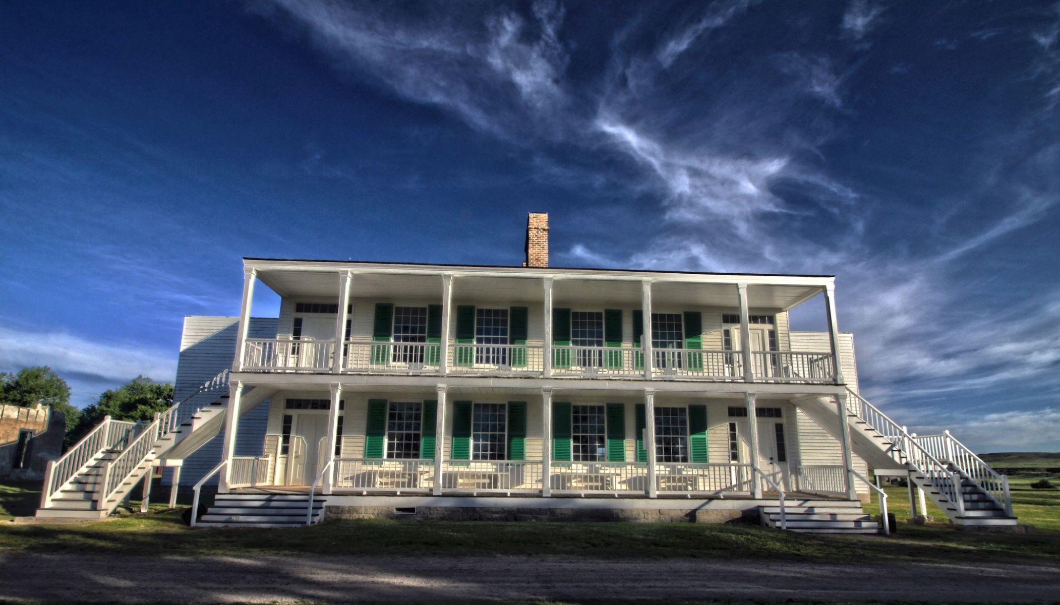
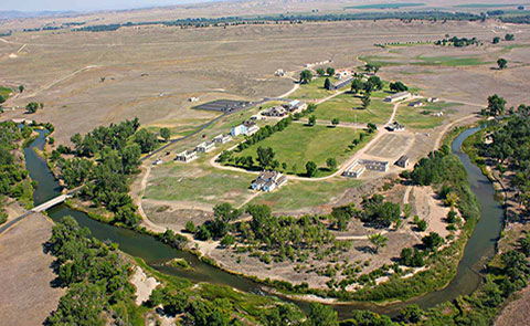
Fort Laramie was a significant 19th-century trading post, diplomatic site, and military installation located at the confluence of the Laramie and the North Platte Rivers. They joined in the upper Platte River Valley in the eastern part of the present-day US state of Wyoming. The fort was founded as a private trading post in the 1830s to service the overland fur trade; in 1849, it was purchased by the United States Army. The site was located east of the long climb leading to the best and lowest crossing over the Rocky Mountains at South Pass and became a popular stop for migrants on the Oregon Trail. Along with Bent's Fort on the Arkansas River, the trading post and its supporting industries and businesses were the most significant economic hub of commerce in the region.
About Fort Laramie National Historic Site
Originally established as a private fur trading fort in 1834, Fort Laramie evolved into the largest and best-known military post on the Northern Plains before its abandonment in 1890. Nicknamed the “Grand Old Post,” Fort Laramie witnessed the entire sweeping saga of America’s western expansion and Indian resistance to encroachment on their territories.
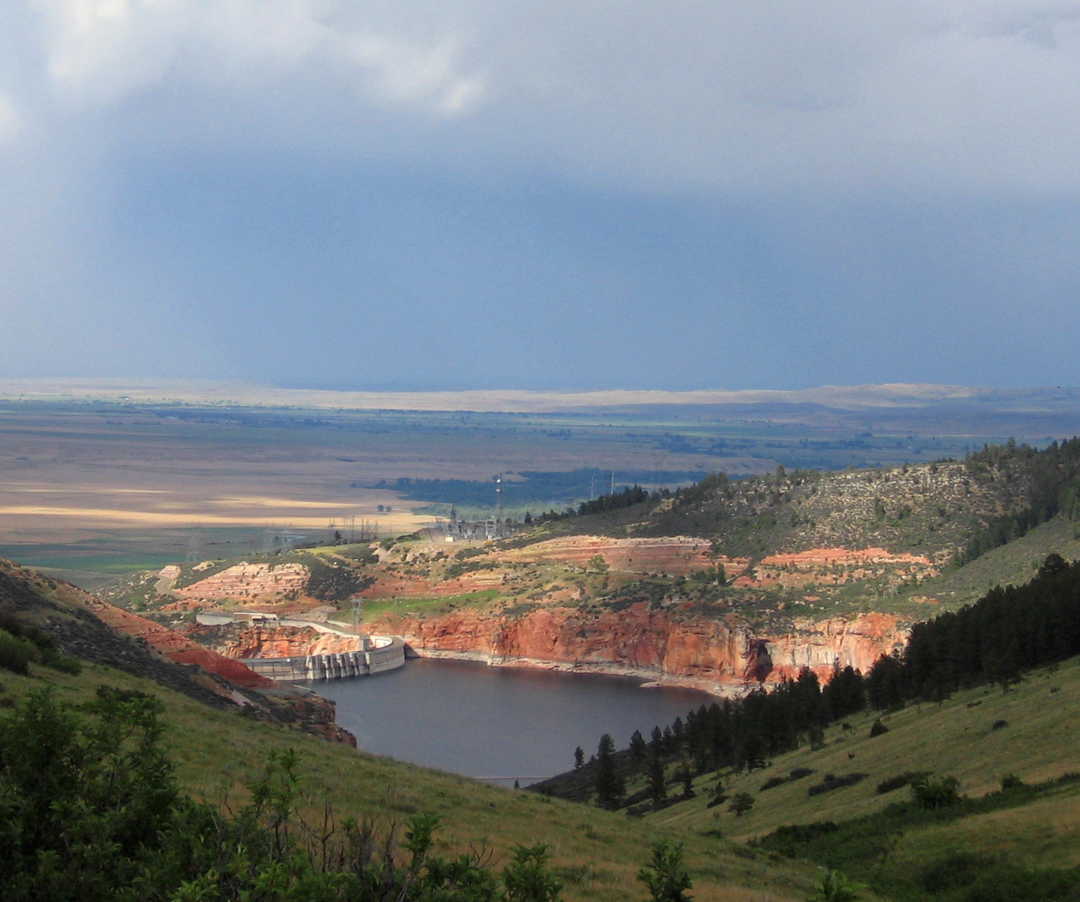
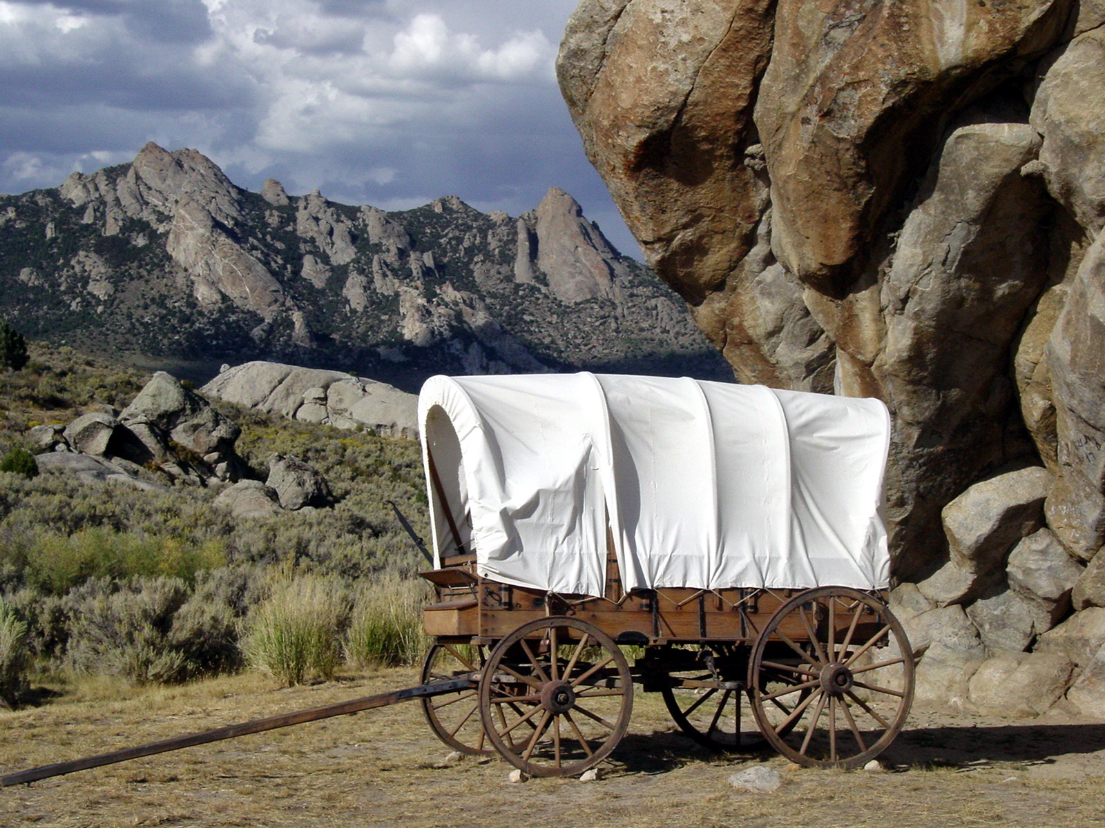
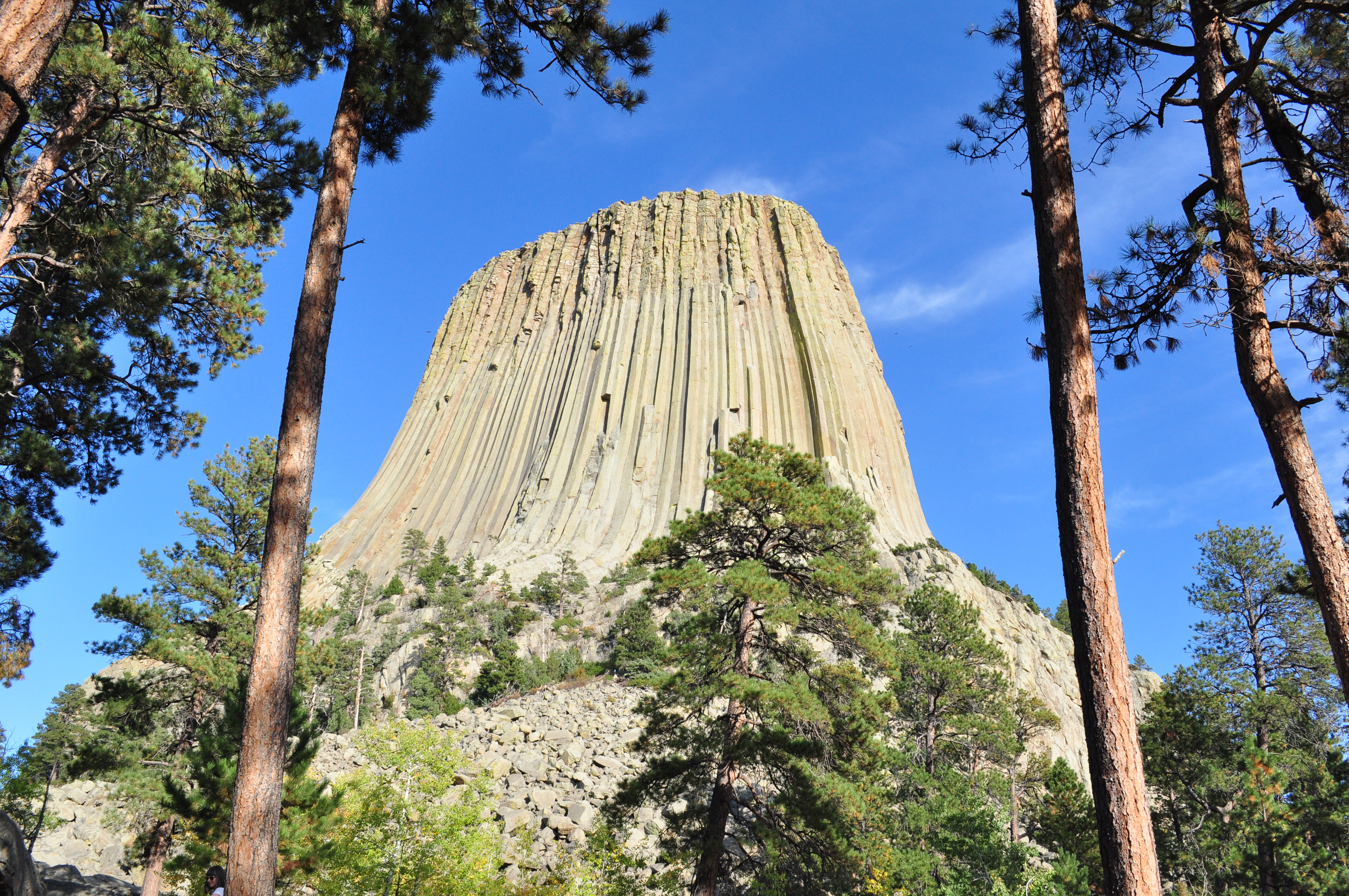
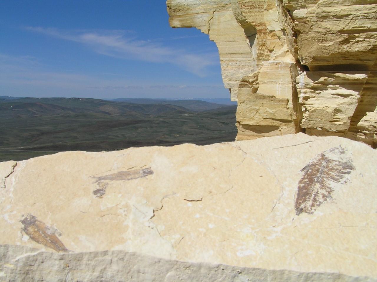
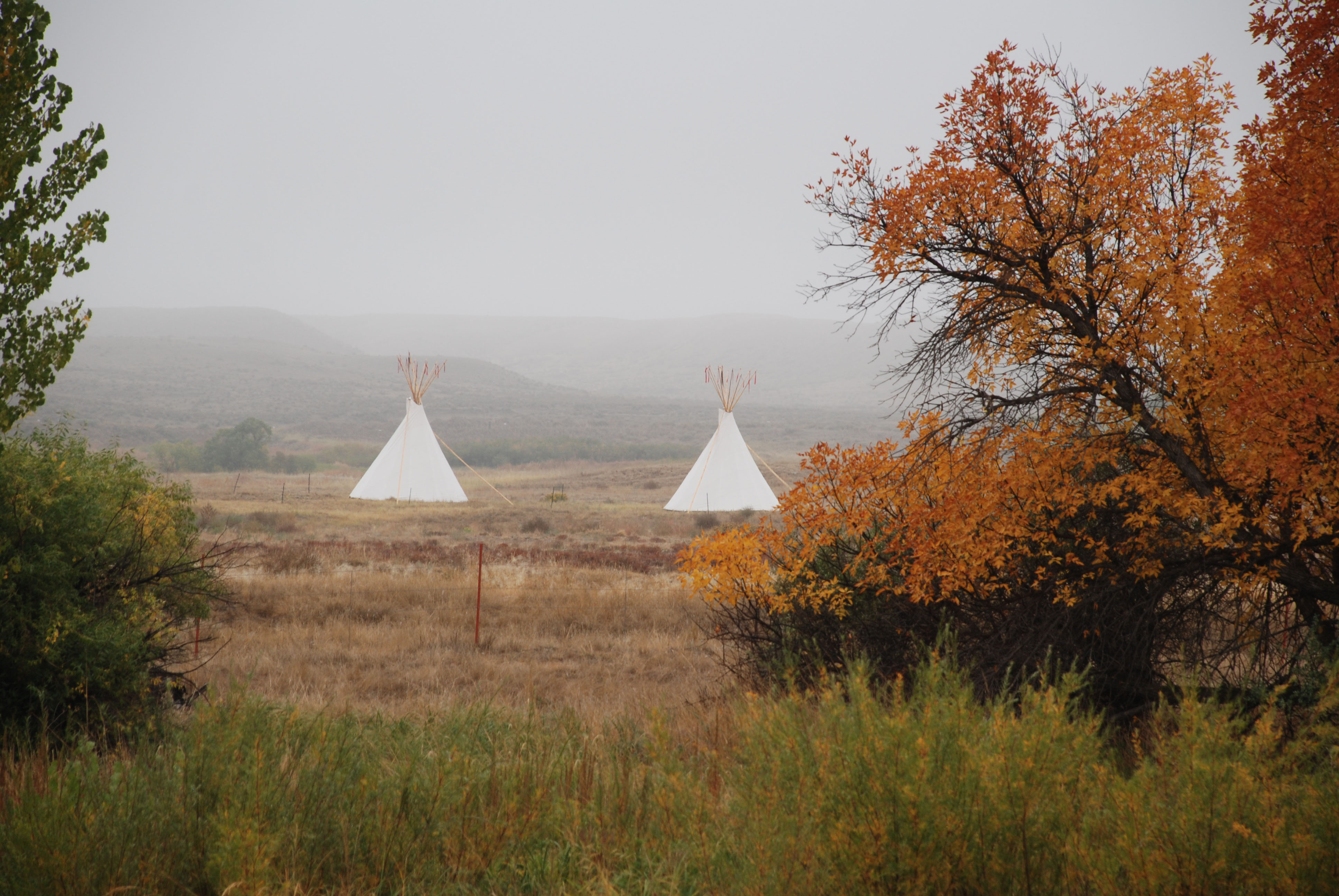
Park Photos
Activities
Operating Hours
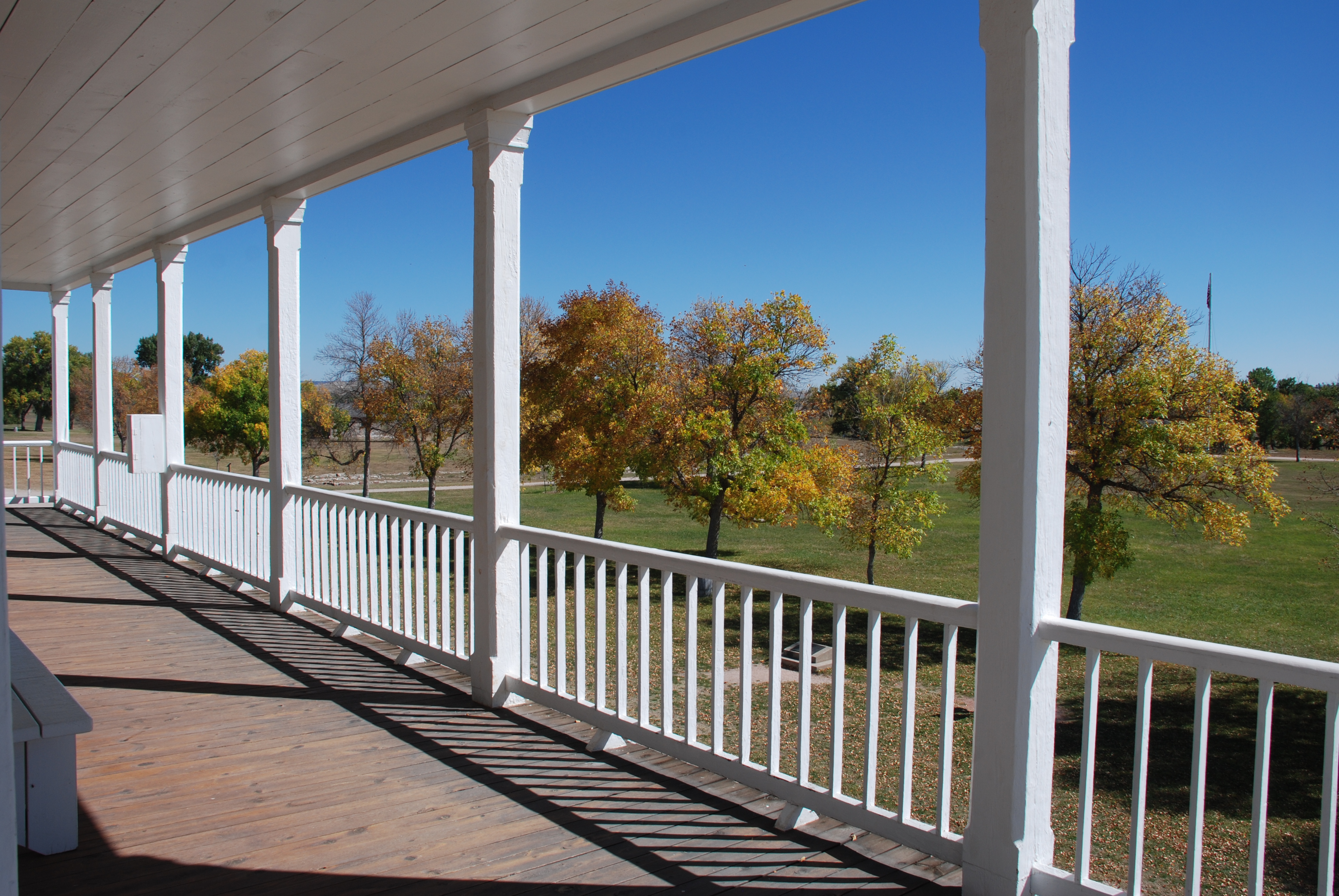
Park grounds and historic buildings
The park grounds are open from dawn until dusk every day of the year. Some historic buildings may be closed in winter. Post trader store and cavalry barracks are open daily - weather permitting.
| mon | tue | wed | thu | fri | sat | sun |
|---|---|---|---|---|---|---|
| Sunrise to Sunset | Sunrise to Sunset | Sunrise to Sunset | Sunrise to Sunset | Sunrise to Sunset | Sunrise to Sunset | Sunrise to Sunset |
Frequently Asked Questions
How much does it cost to enter Fort Laramie National Historic Site?
Fort Laramie National Historic Site is free to enter.
What are the best activities at Fort Laramie National Historic Site?
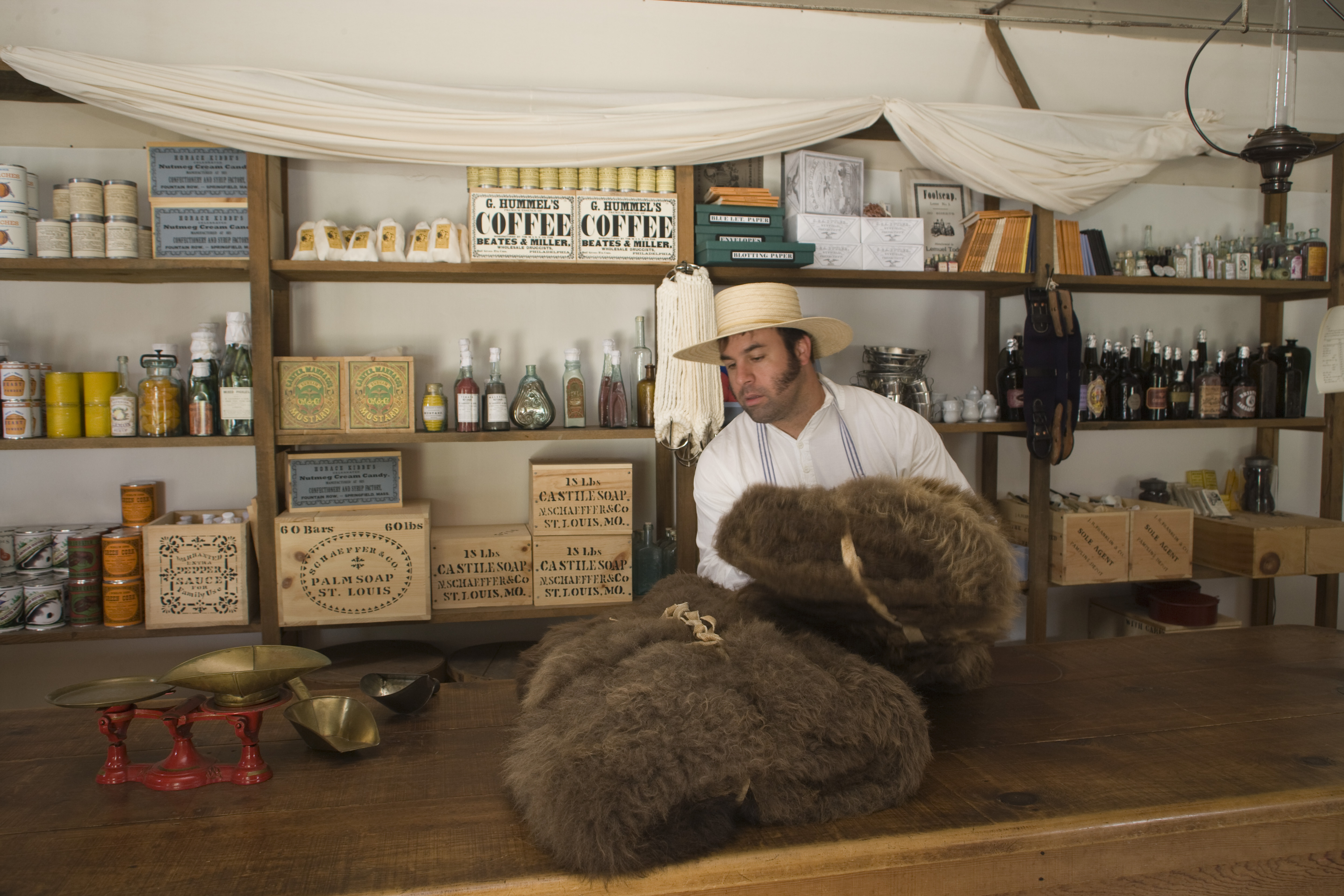
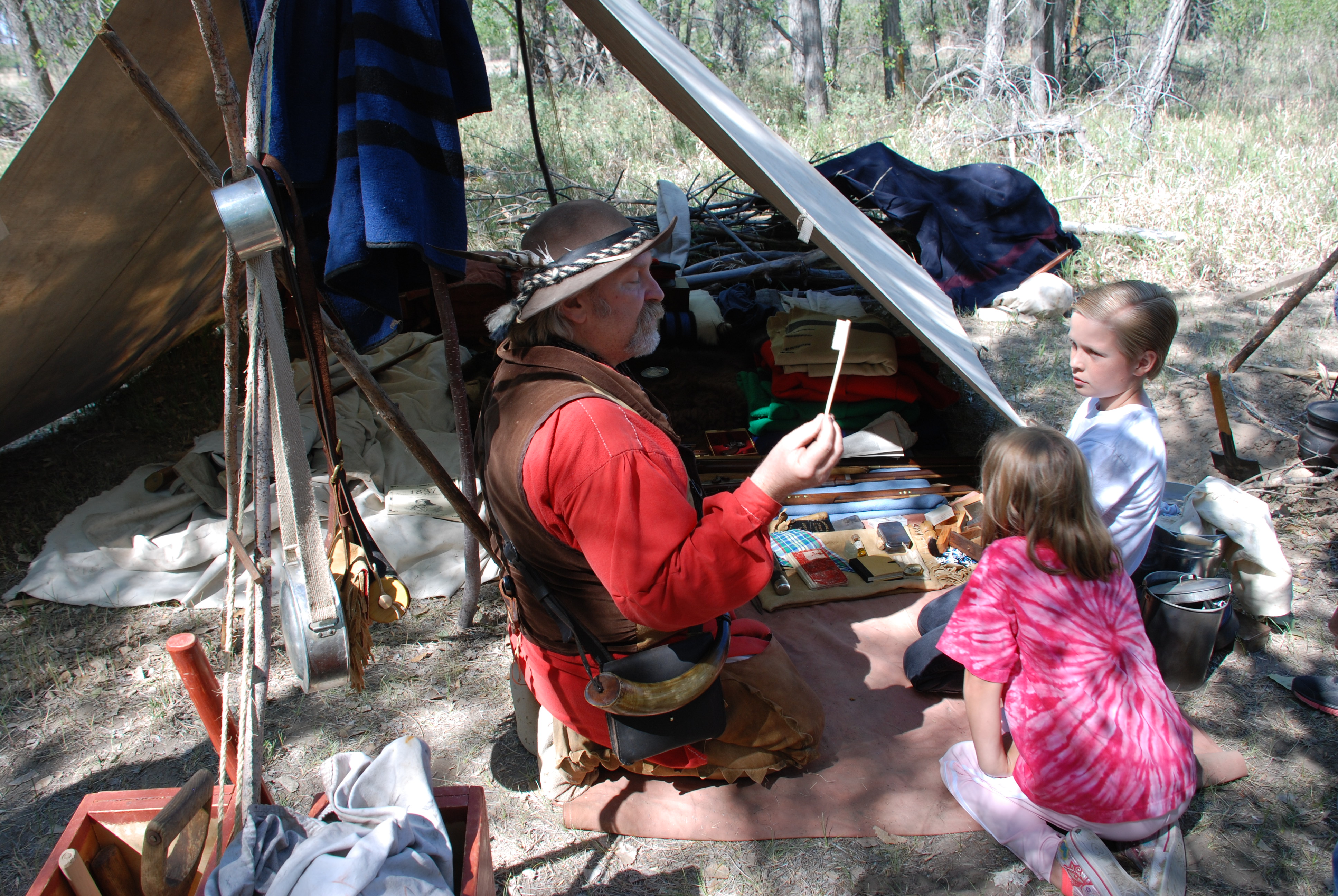
Popular activities at Fort Laramie National Historic Site include: Astronomy, Stargazing, Fishing, Freshwater Fishing, Guided Tours, Self-Guided Tours - Walking, Self-Guided Tours - Auto, Living History.
What is the weather like at Fort Laramie National Historic Site?
Fort Laramie summer days can be quite hot (over 100F/37C), average highs are in the 80s and 90s (30-35C) with cool nights and low humidity. Winters are often bitterly cold and windy with subzero wind chills. The region is semi-arid with a distinct winter dry season. About 70% of annual precipitation falls as thunderstorms during the spring and early summer. Breezy days are common year-round and peak in the winter when wind speeds can approach hurricane-strength.
How do I get to Fort Laramie National Historic Site?
The park is located in southeast Wyoming approximately 125 miles southeast of Casper, 100 miles north of Cheyenne and 55 miles west of Scottsbluff, Nebraska. From Interstate 25, take exit 92 to US Highway 26, proceed east to the town of Fort Laramie; turn right on State Route 160 and travel three miles to the park entrance. From westbound US 26, proceed west from Scottsbluff, Nebraska to the town of Fort Laramie; turn left on State Route 160 and continue three miles to the park entrance.
Entrance Fees
Free Admission
Weather
Fort Laramie summer days can be quite hot (over 100F/37C), average highs are in the 80s and 90s (30-35C) with cool nights and low humidity. Winters are often bitterly cold and windy with subzero wind chills. The region is semi-arid with a distinct winter dry season. About 70% of annual precipitation falls as thunderstorms during the spring and early summer. Breezy days are common year-round and peak in the winter when wind speeds can approach hurricane-strength.
Directions
The park is located in southeast Wyoming approximately 125 miles southeast of Casper, 100 miles north of Cheyenne and 55 miles west of Scottsbluff, Nebraska. From Interstate 25, take exit 92 to US Highway 26, proceed east to the town of Fort Laramie; turn right on State Route 160 and travel three miles to the park entrance. From westbound US 26, proceed west from Scottsbluff, Nebraska to the town of Fort Laramie; turn left on State Route 160 and continue three miles to the park entrance.
📍 View on Google Maps →Location
Official Resources
NPS Official WebsiteMore Parks in Wyoming
Other national park sites you might enjoy