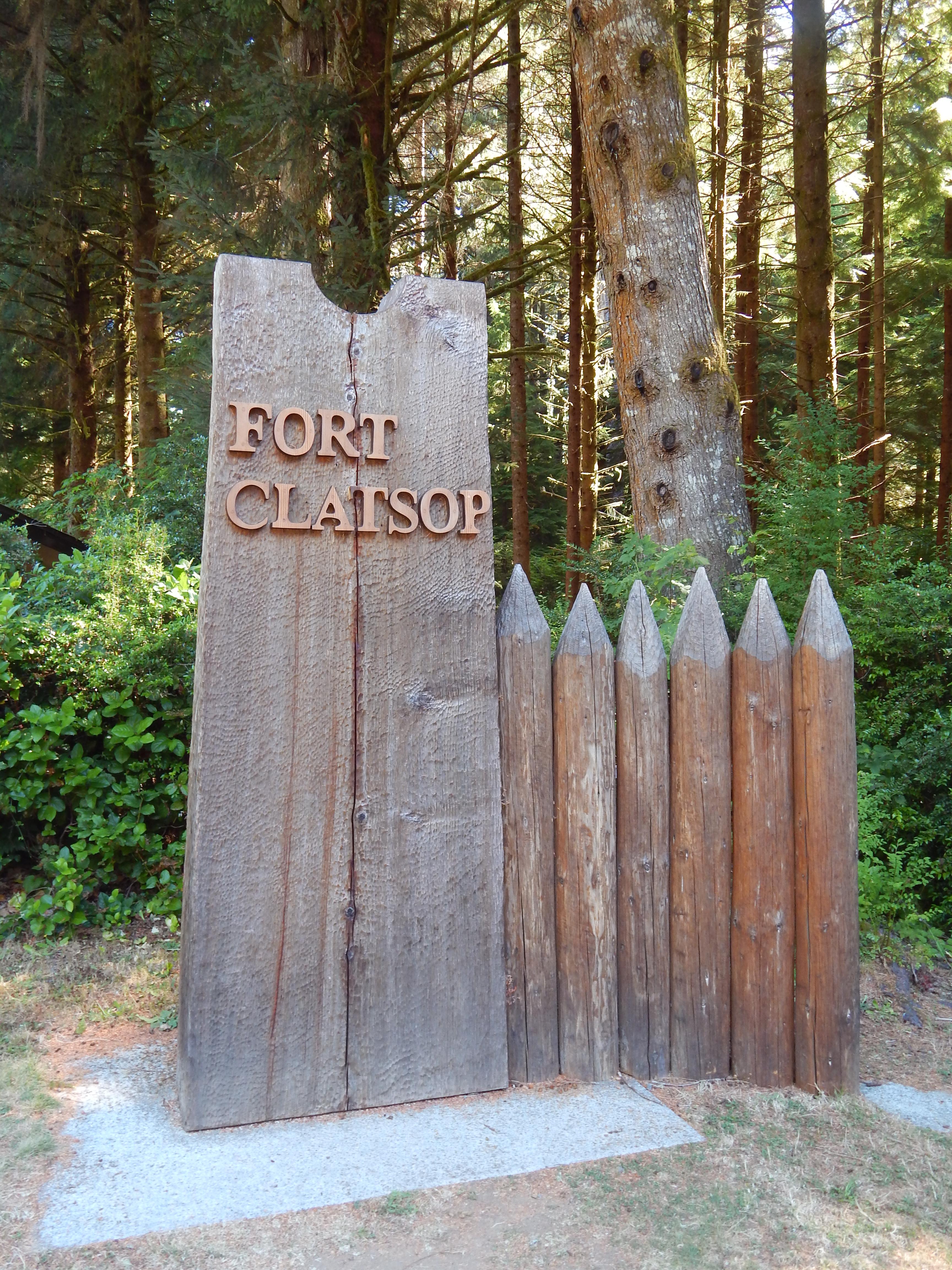
Lewis and Clark National Historical Park
National Historical Park · Oregon, Washington
NPS Photo

Historic site in Oregon and Washington, United States
The Lewis and Clark National Historical Park, located in the vicinity of the mouth of the Columbia River, commemorates the Lewis and Clark Expedition. Administration of the park, which includes both federal and state lands, is a cooperative effort of the National Park Service and the states of Oregon and Washington. The National Historical Park was dedicated on November 12, 2004.
About Lewis and Clark National Historical Park
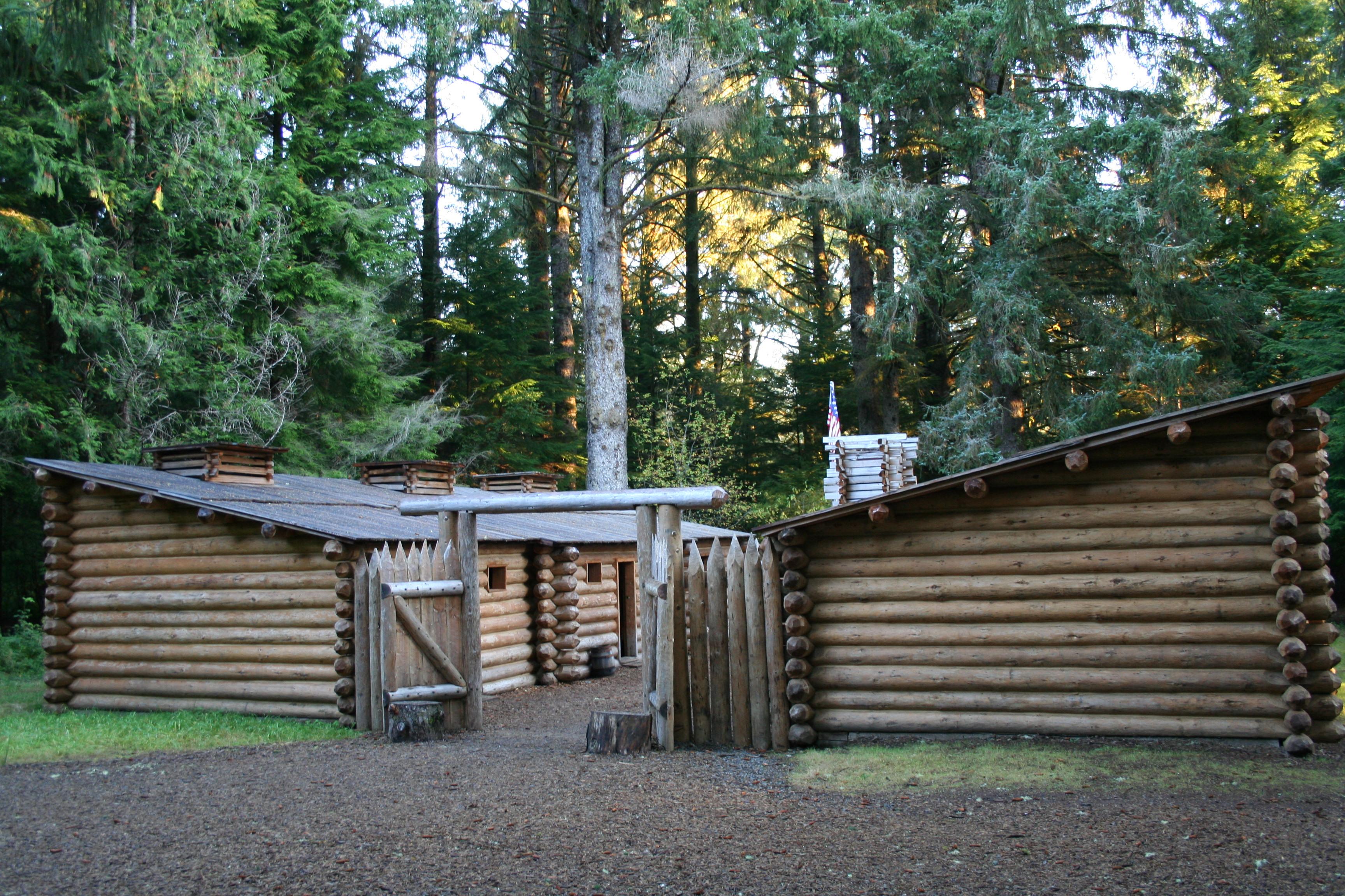
Explore the timeless rainforests and majestic coastal vistas. Discover the rich heritage of the native people. Unfold the dramatic stories of America's most famous explorers. The park encompasses sites along the Columbia River and the Pacific Coast. Follow in the footsteps of the explorers and have an adventure in history.
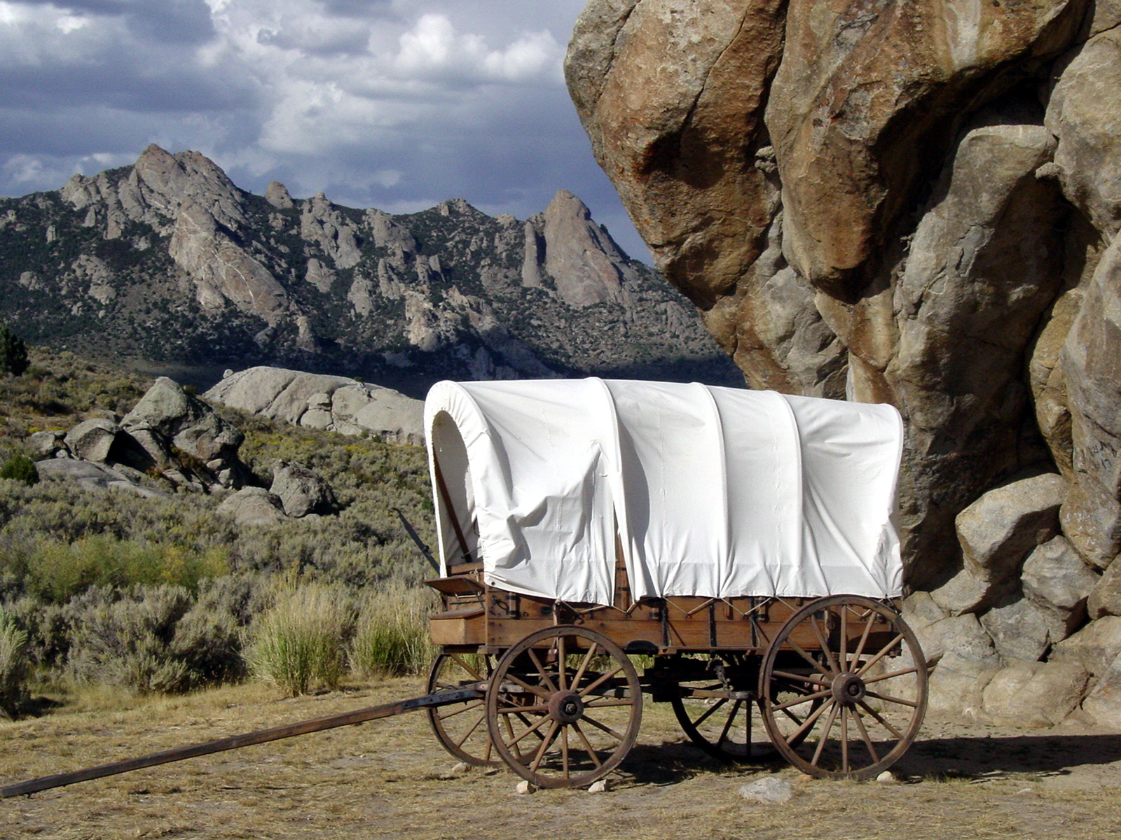
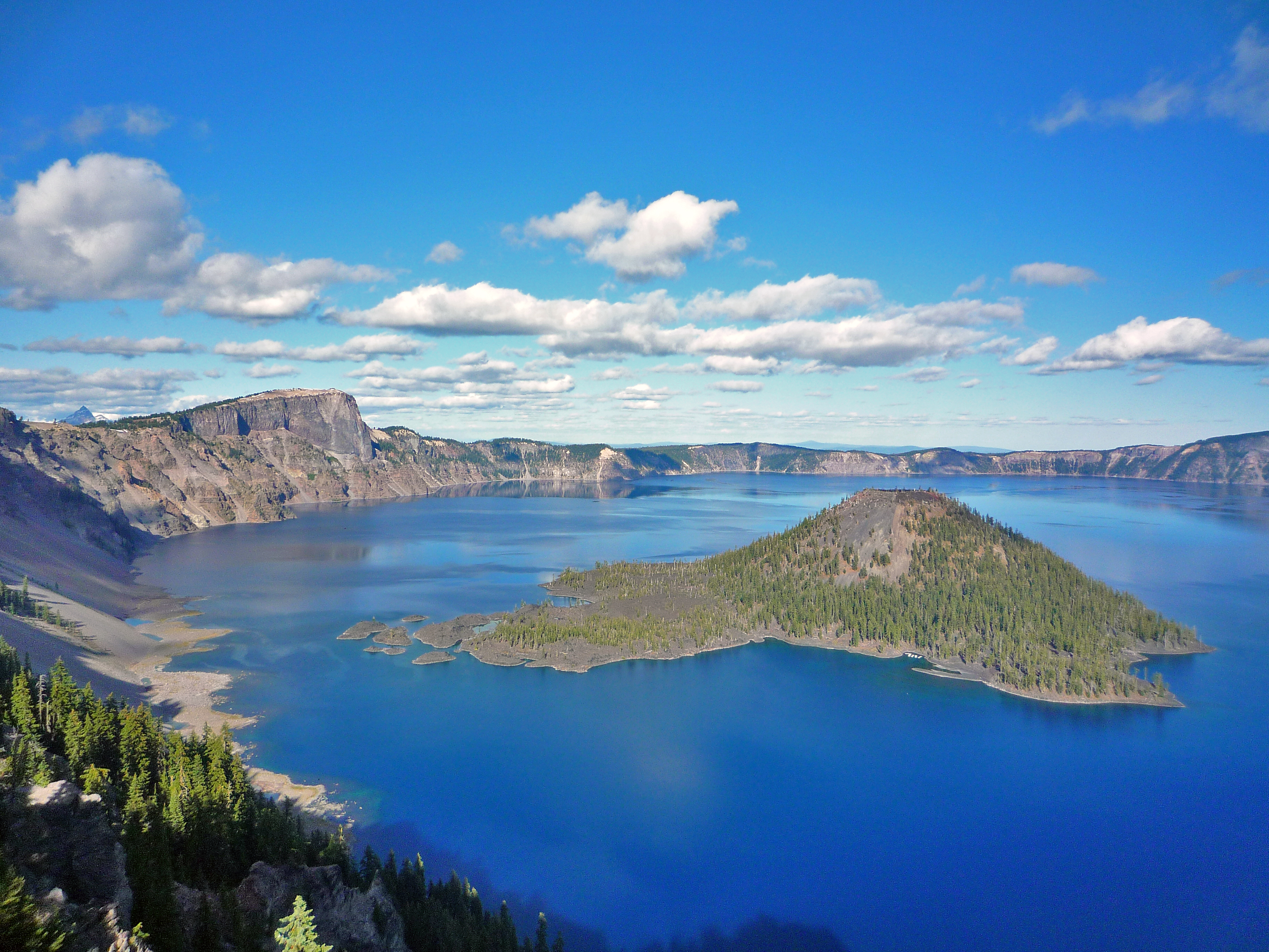
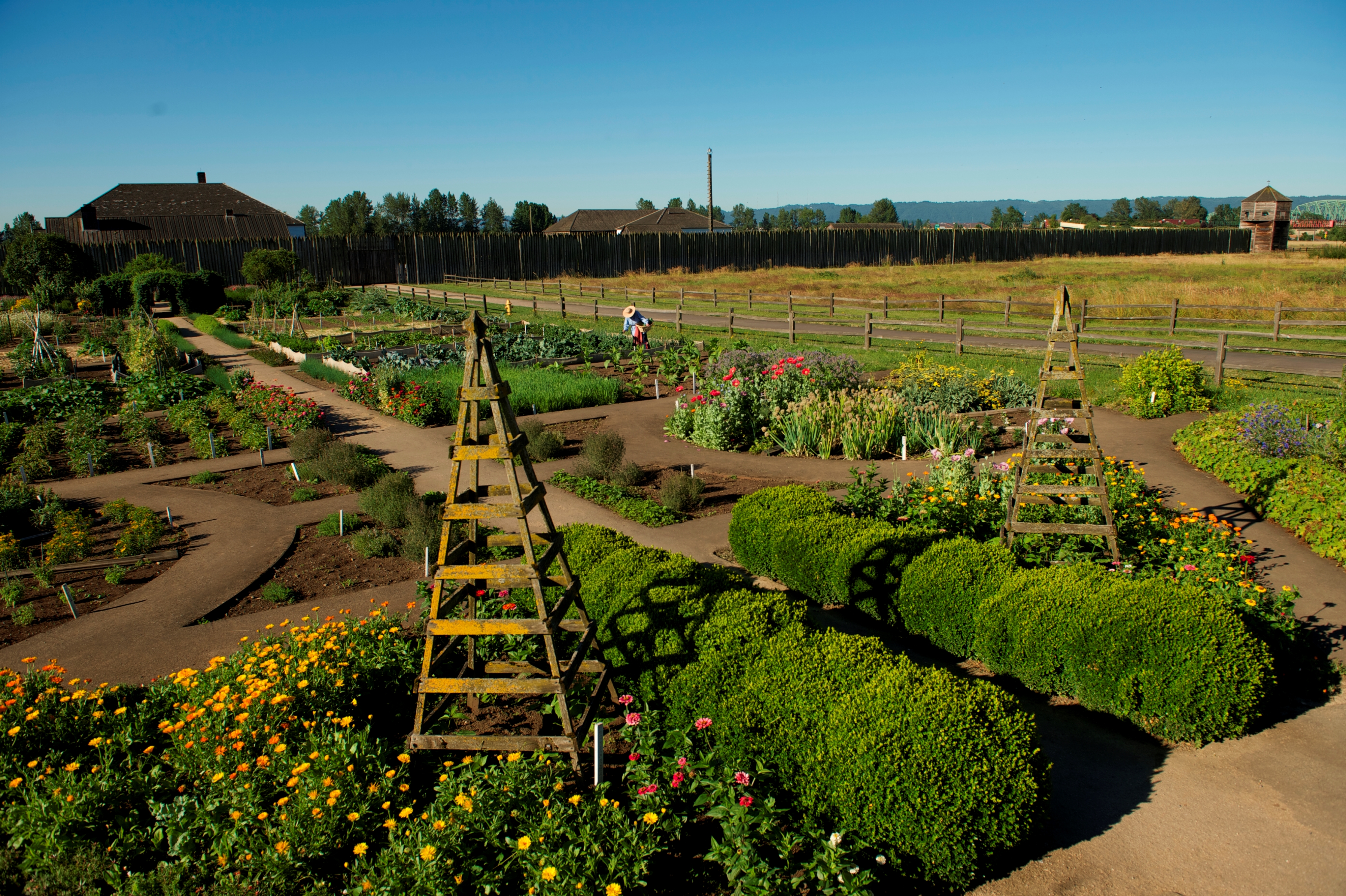
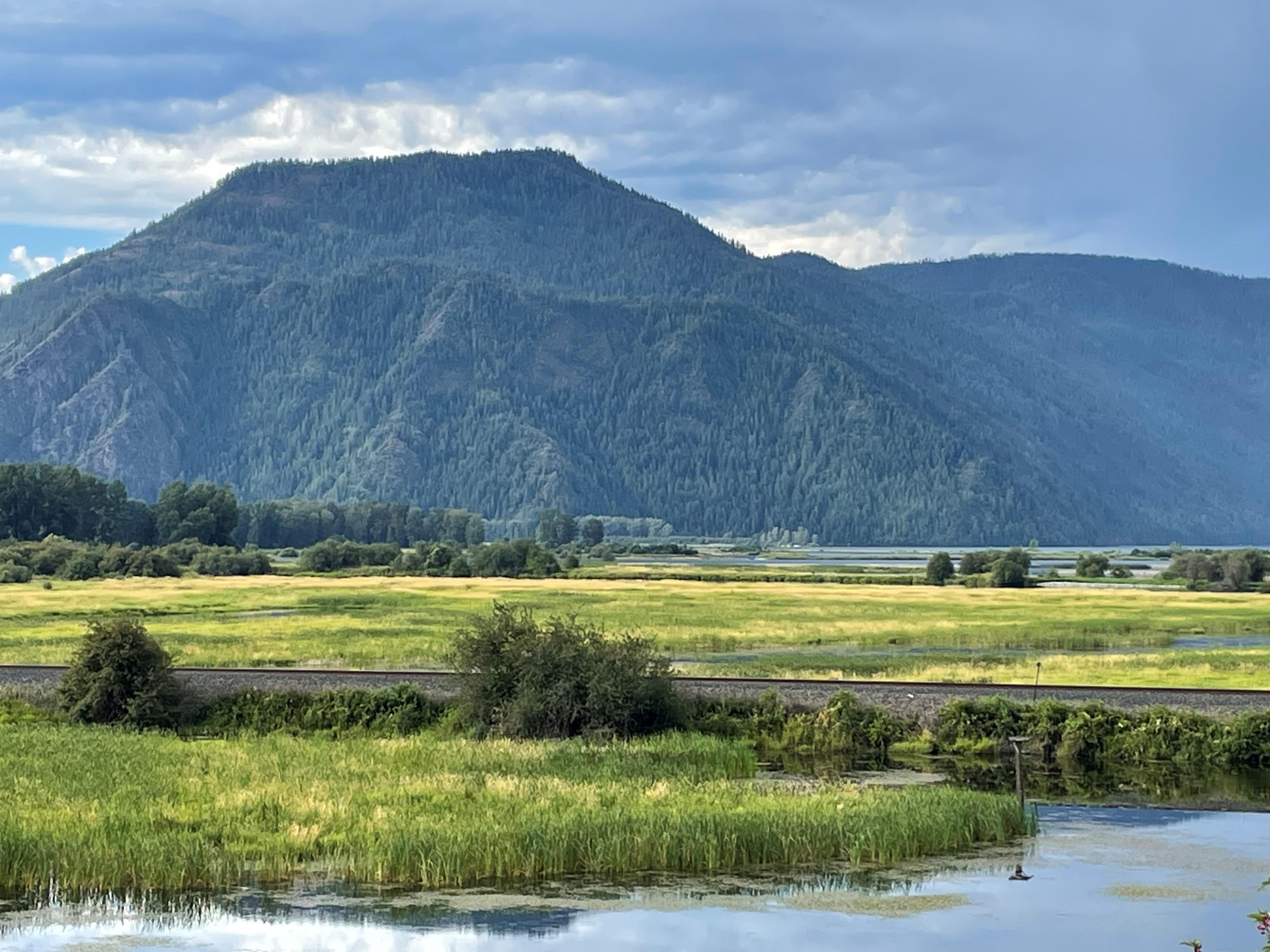
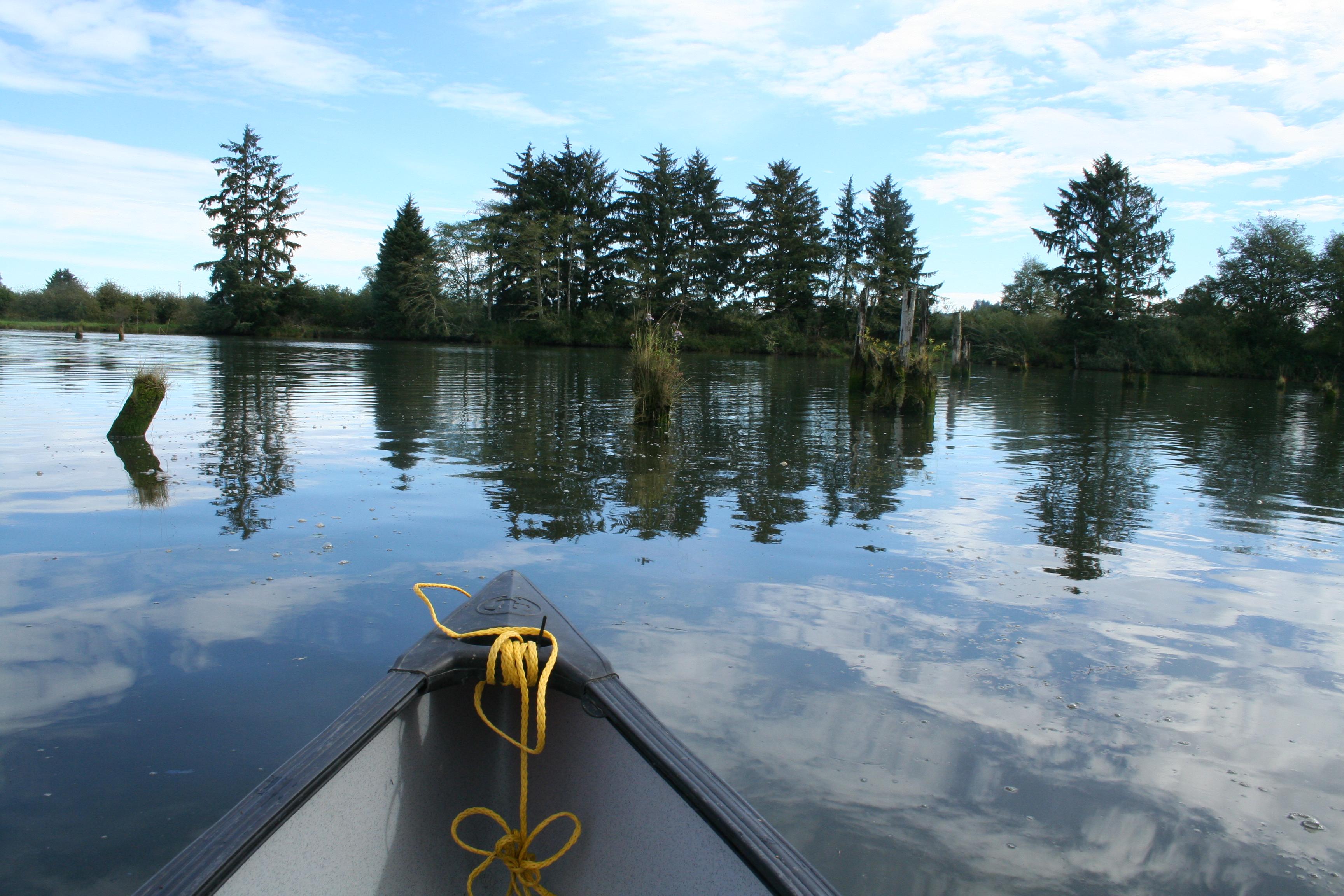
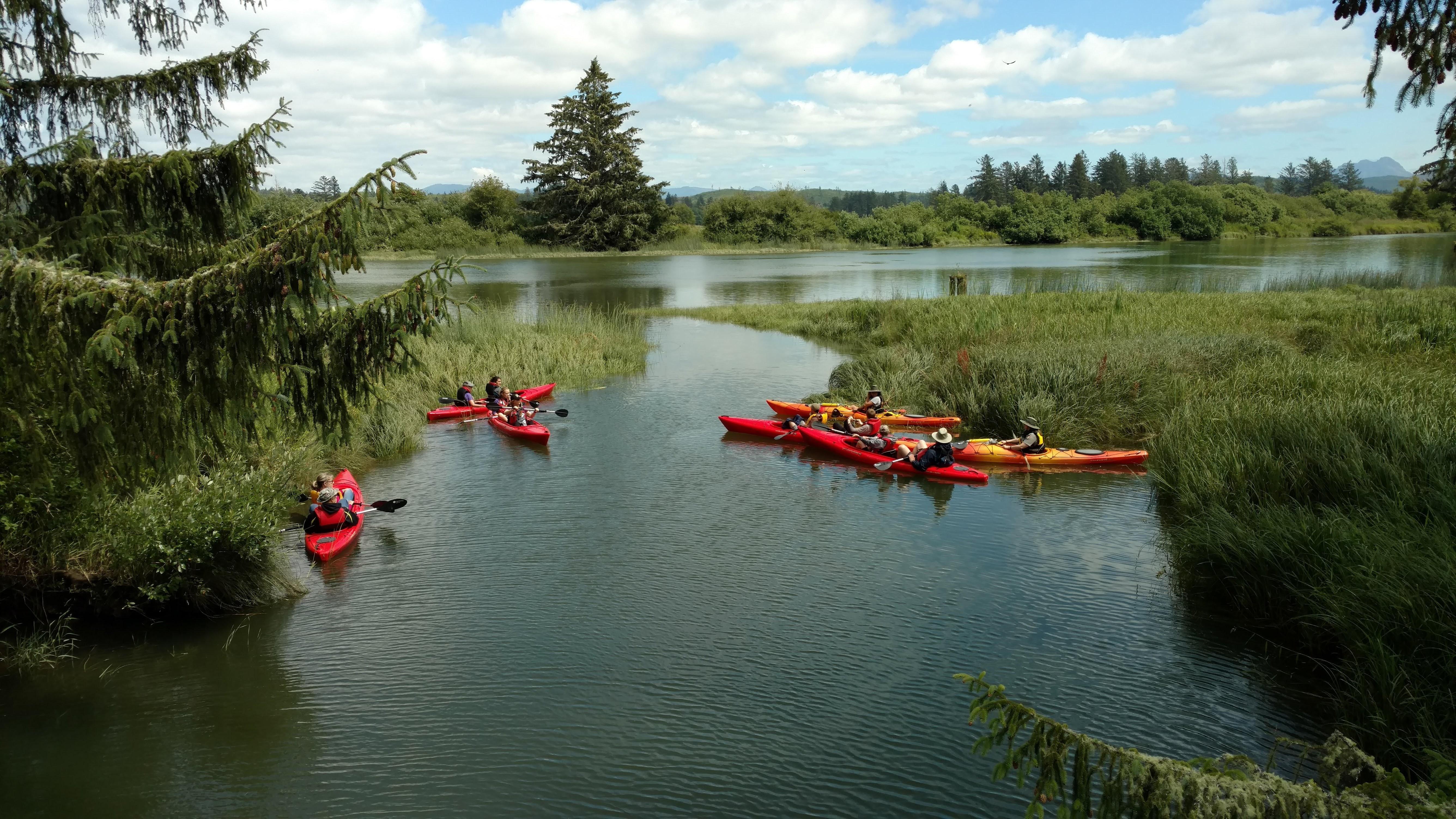
Park Photos
Activities
Operating Hours
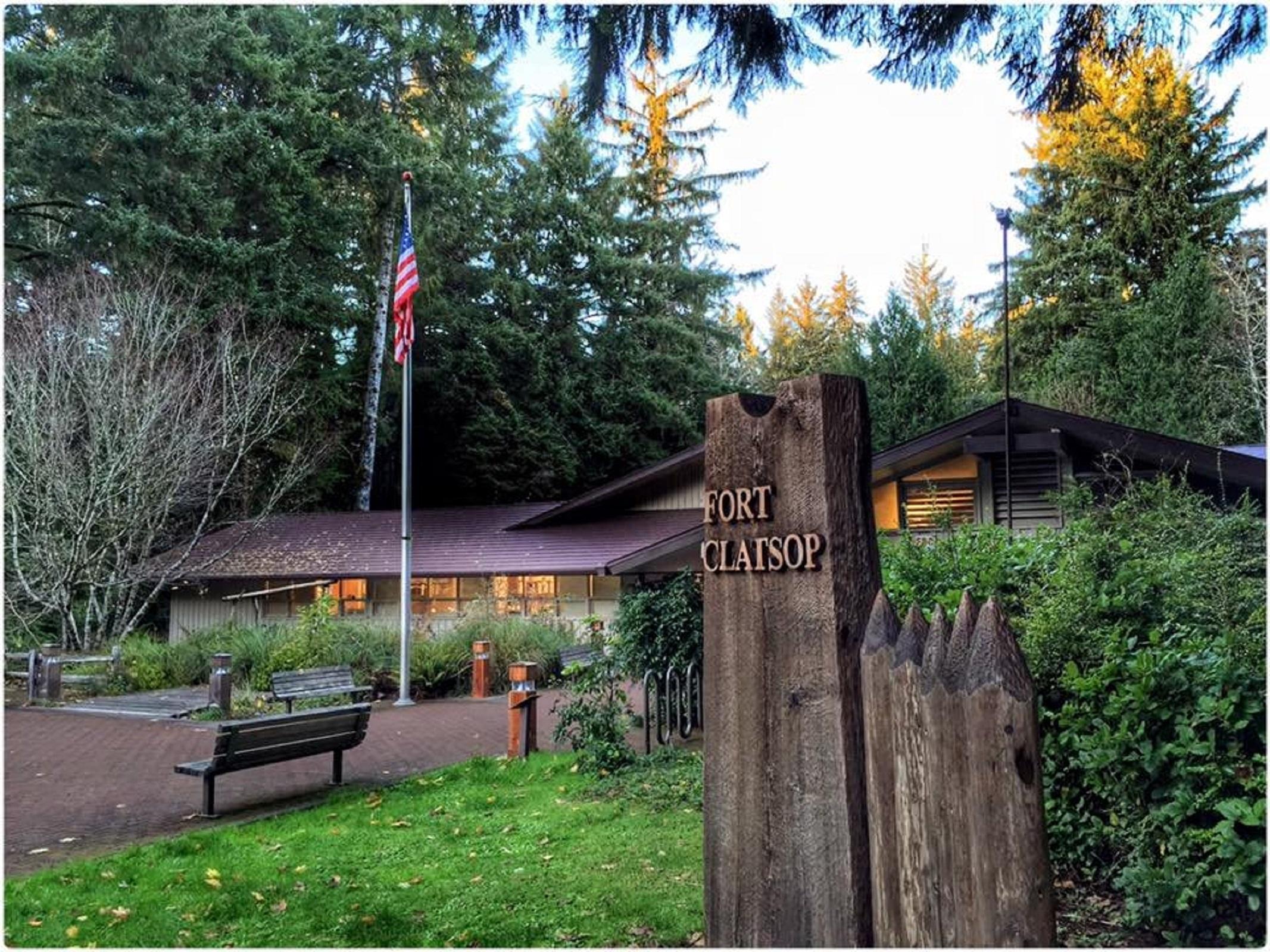
Fort Clatsop Visitor Center and Replica (Winter)
Winter Hours: Begin the day after Labor Day Open 9 a.m. to 5 p.m.
| mon | tue | wed | thu | fri | sat | sun |
|---|---|---|---|---|---|---|
| 9:00AM - 5:00PM | 9:00AM - 5:00PM | 9:00AM - 5:00PM | 9:00AM - 5:00PM | 9:00AM - 5:00PM | 9:00AM - 5:00PM | 9:00AM - 5:00PM |
Frequently Asked Questions
How much does it cost to enter Lewis and Clark National Historical Park?
Entrance - Per Person: $10.00. Entrance fees are collected at the Fort Clatsop Visitor Center.
What are the best activities at Lewis and Clark National Historical Park?
Popular activities at Lewis and Clark National Historical Park include: Fishing, Food, Picnicking, Guided Tours, Self-Guided Tours - Walking, Hiking, Front-Country Hiking, Hunting and Gathering.
What is the weather like at Lewis and Clark National Historical Park?
We see an average of 70 inches of rain a year and we are the foggiest location in the Lower 48 states. Summer months are usually nice with days ranging from 55-70 degrees. Winters are wet and mild, usually 40-55 degrees. During the 106 days the Lewis and Clark Expedition wintered at Fort Clatsop in 1806 it rained all but 12 days and they saw the sun 6 times. While we are usually not so dreary make sure to prepare for rain or shine.
How do I get to Lewis and Clark National Historical Park?
The main site of Fort Clatsop is located south of Astoria just over Youngs Bay, east of the town of Warrenton, and approximately 14 miles north of Seaside. Our satellite sites include: Netul Landing, located 1.25 miles south of the main Fort Clatsop site. Middle Village, located on the 101 left off the Astoria-Megler Bridge. Dismal Nitch, located on the 401 right off the Astoria-Megler Bridge. The Salt Works, located off the Lewis and Clark Way in Seaside, Oregon. Keep an eye out for brown signs.
Entrance Fees
Entrance fees are collected at the Fort Clatsop Visitor Center.
Weather
We see an average of 70 inches of rain a year and we are the foggiest location in the Lower 48 states. Summer months are usually nice with days ranging from 55-70 degrees. Winters are wet and mild, usually 40-55 degrees. During the 106 days the Lewis and Clark Expedition wintered at Fort Clatsop in 1806 it rained all but 12 days and they saw the sun 6 times. While we are usually not so dreary make sure to prepare for rain or shine.
Directions
The main site of Fort Clatsop is located south of Astoria just over Youngs Bay, east of the town of Warrenton, and approximately 14 miles north of Seaside. Our satellite sites include: Netul Landing, located 1.25 miles south of the main Fort Clatsop site. Middle Village, located on the 101 left off the Astoria-Megler Bridge. Dismal Nitch, located on the 401 right off the Astoria-Megler Bridge. The Salt Works, located off the Lewis and Clark Way in Seaside, Oregon. Keep an eye out for brown signs.
📍 View on Google Maps →Location
Official Resources
NPS Official WebsiteMore Parks in Oregon
Other national park sites you might enjoy